Sand lizard
About
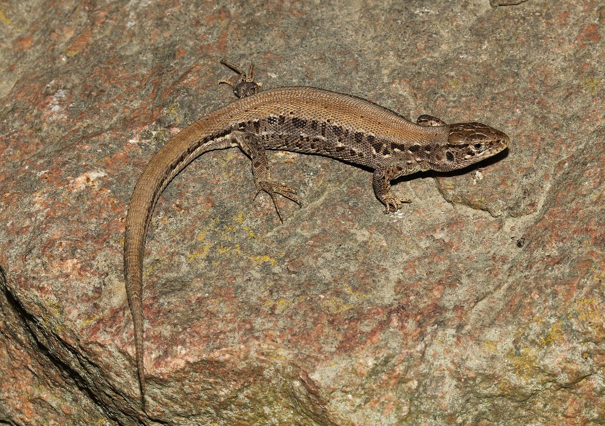
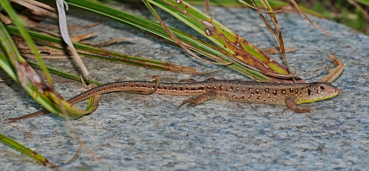
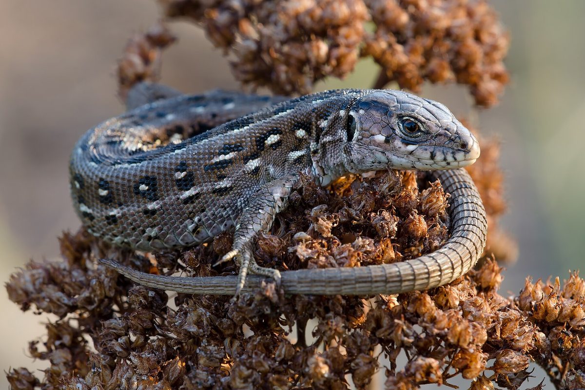
The Sand lizard is the lizard most often seen in sunny edges, clearings, clearcuts, along roads, and on rocky slopes. In forested areas — in Polissia, the Carpathians, and Crimea — it prefers such bright places, and in the mountains, it inhabits moderately dry slopes, meadows, forest edges, and shrubs. Overall, it has been found in the mountains of Asia at altitudes of up to 3500 m.
This is a robust lizard with a short head: the body length without the tail is up to 11 cm, and the tail can be twice as long. The coloration is variable. Females are yellowish-brown, brown, or brownish-gray, rarely green. Males in spring, during the mating season, turn green: in western subspecies, only the sides turn green, while in eastern ones, including in Ukraine, the male can be almost completely green. The larger and stronger the male, the brighter its green color. There are also rusty-brown individuals with a uniform back.
The lizard is active during the day and basks in the sun for long periods, hiding in the shade during heat. In the mountains, it emerges from hibernation in April or even early May, while adults go into hibernation at the end of September, and young ones at the beginning of October. It mainly feeds on insects — in Ukraine, beetles are the most common in its diet, followed by grasshoppers and hymenopterans — as well as spiders and other small invertebrates. If caught by the tail, the lizard can shed it, and it will regrow later.
From the second half of May, the female lays 4–15 eggs: she digs a hole 6–7 cm deep in loose soil in a sunny spot, and then the eggs are warmed by the heat of the earth. The Sand lizard reaches sexual maturity in its third year of life. It is not listed in the Red Book of Ukraine, but it is protected in the EU as a species of Annex IV of the Habitats Directive. Do not catch lizards by the tail and do not take them home — they die in captivity.
Where in the Carpathians

The map shows where naturalists recorded the species (GBIF, CC0 and CC BY records), not every place it lives. The Ukrainian Carpathians are less studied, so a blank area does not mean the species is absent.
- Countries
- Ukraine · Romania · Czechia · Slovakia · Poland · Austria · Hungary
- Mountain ranges
- Watershed Ridge, Krasna Polonyna, Pokuttia-Bukovina Carpathians, Gorgany, Rivna Polonyna, Bieszczady, Skole Beskids, Maramureș Mountains, Piatra Craiului, Vihorlat-Gutin Volcanic Ridge
- Altitude belts
- Foothills (below 600 m) · Beech forests (600–1200 m)
When to see it
| Jan | Feb | Mar | Apr | May | Jun | Jul | Aug | Sep | Oct | Nov | Dec | |
|---|---|---|---|---|---|---|---|---|---|---|---|---|
| Sightings |
From naturalists’ observations in the Carpathians (iNaturalist, research grade): the darker the cell, the more often the species is seen that month.
Protection and rules
Not listed in the Red Book of Ukraine; in the EU — Annex IV of the Habitats Directive.
FAQ
Why is the lizard green?
Most likely, this is a male Sand lizard in mating attire: in spring, males turn green, while females remain brown-gray.
Which lizards live in the Carpathians?
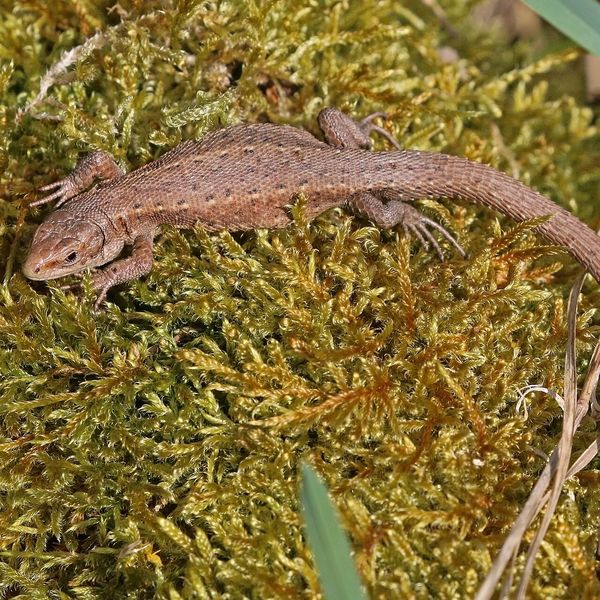
The most common are the Sand lizard in sunny edges and the viviparous lizard, which climbs high into the mountains and prefers wetter places.
Similar species
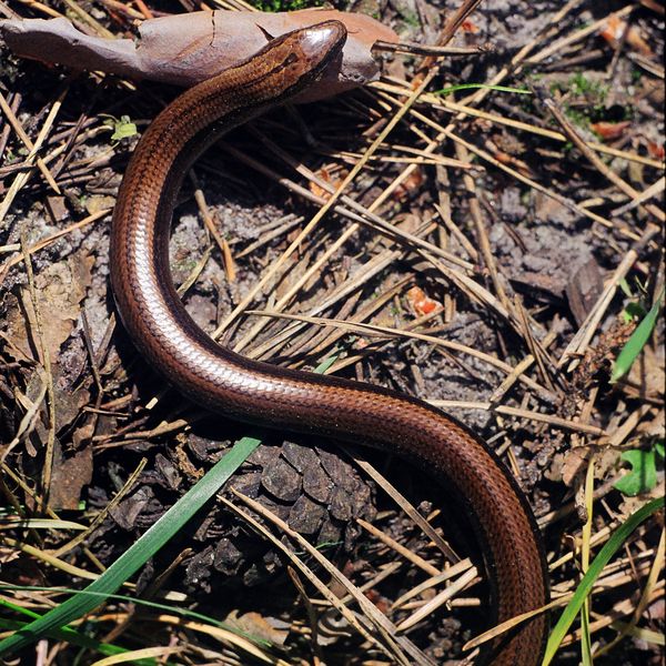
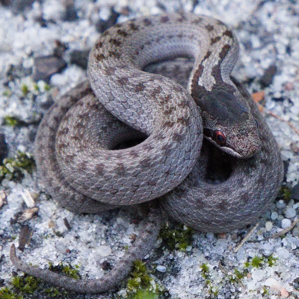
Where to meet it
Trails
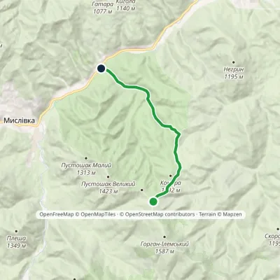 ModerateOne-dayMarkedIlmia forestry Nimetska polonynaElevation profile602–1 256 m10 kmascent 697 m≈ 4 h walking
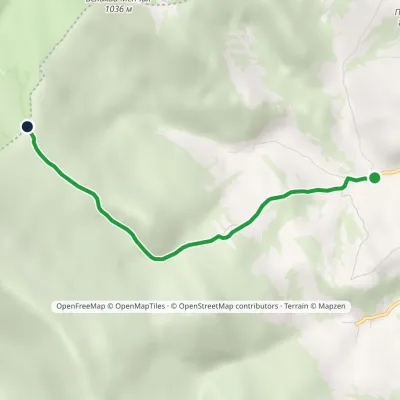 EasyOne-dayMarkedBilasovytsia village Mount KosharyshcheElevation profile586–1 085 m4 kmascent 499 m≈ 2 h walking
 EasyOne-dayBilasovytsia village Mount PikuiElevation profile594–1 334 m5.3 kmascent 779 m≈ 3 h walking
 EasyOne-dayMarkedBilasovytsia village Mount PikuiElevation profile594–1 408 m4.5 kmascent 814 m≈ 3 h walking
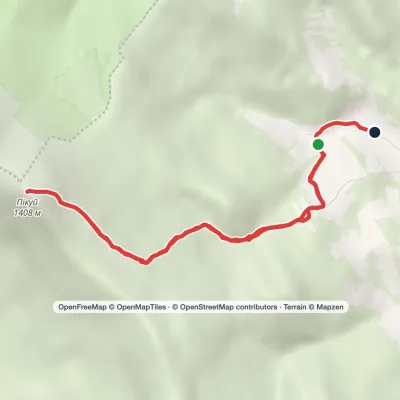 ModerateOne-dayMarkedBilasovytsia village loopvia Mount PikuiElevation profile622–1 408 m8.9 kmascent 750 m≈ 3.5 h walking
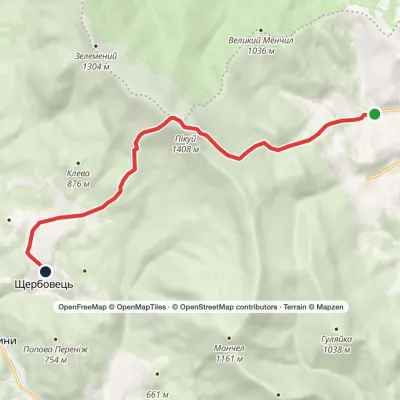 ModerateOne-dayMarkedBilasovytsia village to Shcherbovets villagevia Mount PikuiElevation profile513–1 408 m9.9 kmascent 822 m≈ 4 h walking
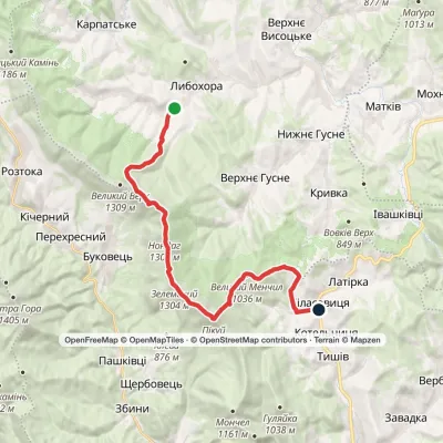 HardTwo-dayLybokhora village to Bilasovytsia villagevia Mount PikuiElevation profile557–1 408 m23 kmascent 917 m≈ 7.5 h walking
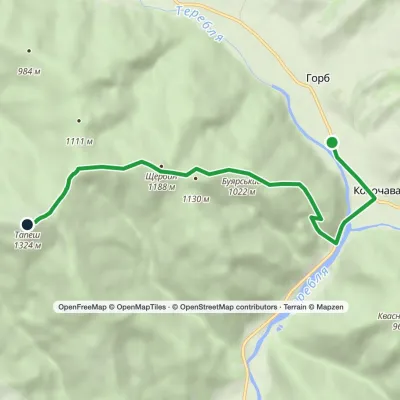 ModerateOne-dayMarkedKolochava TapeshElevation profile544–1 324 m6.7 kmascent 837 m≈ 3.5 h walking
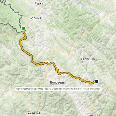 HardMulti-dayMarkedNo. 14 Sianky Mount Chorna RypaElevation profile536–1 408 m85 kmascent 3 601 m
 ModerateTwo-dayMount Topas to Kolochava villagevia Mereshor villageElevation profile513–1 527 m21.8 kmascent 376 m≈ 6 h walking
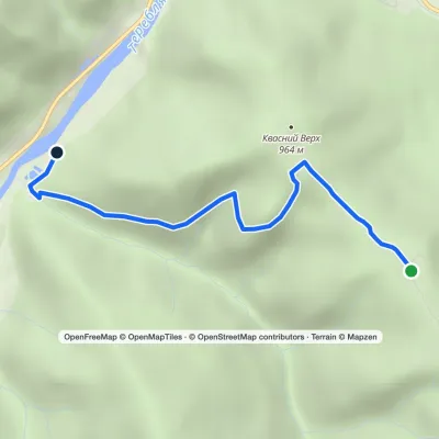 EasyOne-dayMarkedKolochava eco-trailElevation profile544–985 m3.5 kmascent 16 m≈ 60 min walking
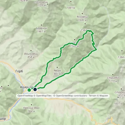 ModerateTwo-dayMarkedKolochava village loopvia Mount DarvaikaElevation profile558–1 383 m18.5 kmascent 838 m≈ 6.5 h walking
Peaks and meadows
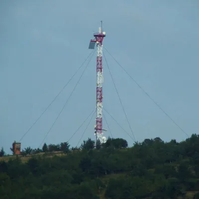 PeakMount Horodyshche (Boryslav)Boryslavaltitude 646 mHorodyshche (646 m; other sources give 641.8 m) is a hill in the Upper Dniester Beskids and the highest point of the...
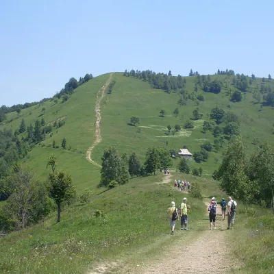 Mountain meadow984 mMount Makovytsia, YaremcheYaremcheMakovytsia (984 m) is a mountain of the Gorgany range on the eastern edge of Yaremche, in the Carpathian National...
 PeakMount TsiukhivOrivaltitude 939 m · Gorgany range6 trails to the topTsiukhiv (also Tsiukhiv Dil or Tsiukhiv Verkh) is a 939 m mountain (939.4 m exactly; old maps give 942 m or 931 m) in...
 PeakMount YavorinkaTrukhanivaltitude 940 m3 trails to the topThe top of Mount Yavorinka is 940 meters above sea level. Mount Yavorinka is the highest peak of the Klyucha ridge,...
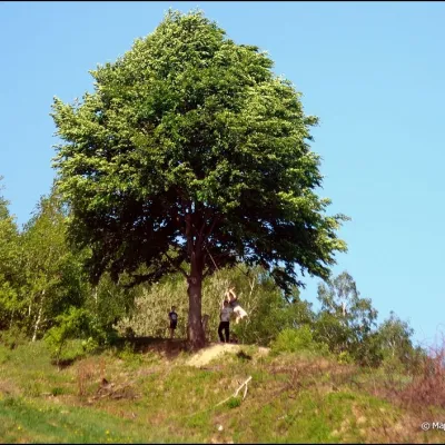 PeakMount KicheraKosivaltitude 567 mThe march to Kichera is an easy walk that all tourists can do. The small length of the march allows you to take your...
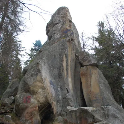 PeakWhite Stone RockDoraaltitude 538 m7 trails to the topThe White Stone Rock is located in the village of Dora in the Carpathians and is one of the most prominent natural...
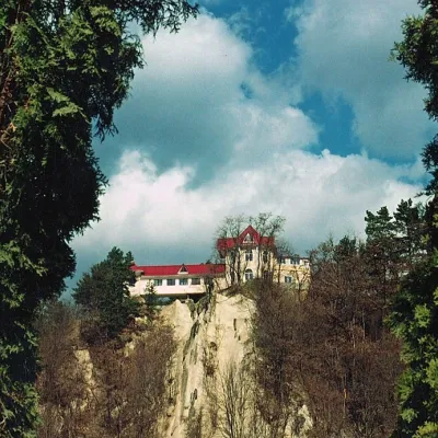 PeakCastle Hill (City)Kosivaltitude 450 mThe top offers a panoramic view of the city. The mountain is home to unique black alpine pines, as well as deciduous...
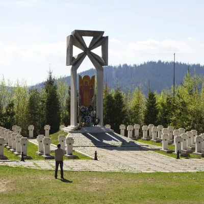 PeakMount MakivkaSlavskealtitude 958 m2 trails to the topMakivka is a mountain in the High Beskid about 8 km north of the town of Slavske in Lviv Oblast.
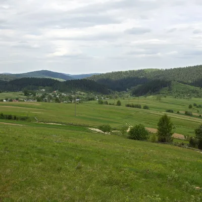 PeakMount RozluchRozluchaltitude 933 m1 trail to the topRozluch is a 933 m mountain in the Upper Dniester Beskids, the highest point of the Rozluch ridge.
Waters and waterfalls
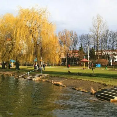 LakeCity Lake, Ivano-FrankivskIvano-FrankivskThe City Lake(also known as the StanislavskeSea ) is the largest artificial lake (pond) in the city of Ivano-Frankivsk.
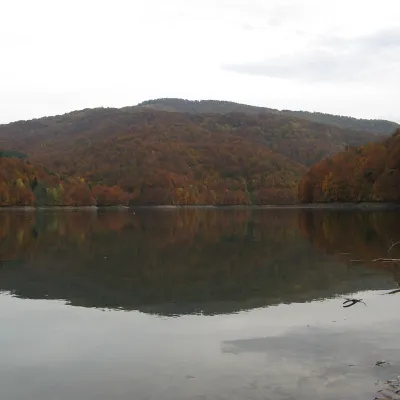 LakeVilshany ReservoirVilshanyThe Vilshany Reservoir, also called the Tereblia-Rika Reservoir, is a narrow mountain lake in the Tereblia valley...
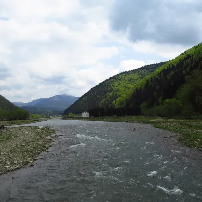 RiverTereblia RiverKolochavaThe Tereblia begins in the Inner Gorgany, where the Roztoka and Sloboda streams meet, and flows through Synevyrska...
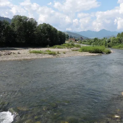 RiverChornyi Cheremosh RiverVerkhovynaThe Chornyi Cheremosh rises south-east of Burkut on the slopes of the Chyvchyn Mountains, the most remote corner of...
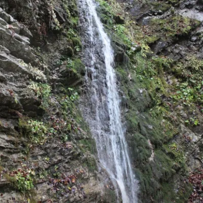 WaterfallSych waterfall (Bukovinian waterfalls)RoztokyThe Sych Waterfall is one of the waterfalls that are part of the Bukovyna Waterfalls, located in the Roztotskyi...
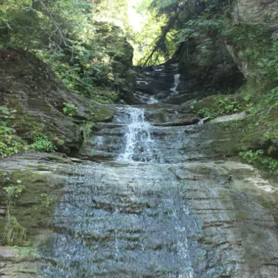 WaterfallSrednyi Huk waterfall (Bukovyna waterfalls)RoztokyThe Srednyi Huk waterfall is one of the Bukovyna waterfalls located in the Chernivtsi region in western Ukraine.
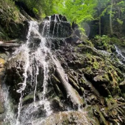 WaterfallYavorivska Niagara waterfallYavorivThe waterfall, or rather a cascade of waterfalls, is located on the bed of the Bedzvinnii stream and is situated...
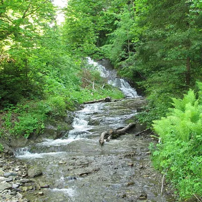 WaterfallYavorivskyi Huk waterfallYavorivYavorivskyi Huk is a 6-meter-highcascading waterfall, a geological natural monument of local importance in Ukraine.
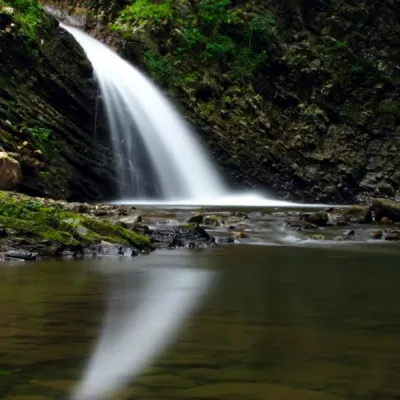 WaterfallChernytsia (Chernykovsky) waterfall, ChernykZelenaChernytsiaWaterfall is a secluded and picturesque place in Ivano-Frankivsk region.
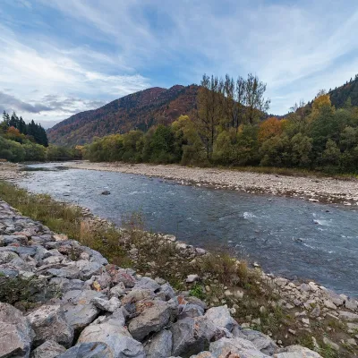 RiverTeresva RiverUst-ChornaThe Teresva forms in Ust-Chorna, where the Mokrianka and Brusturianka meet, and flows south through Dubove, Kalyny,...
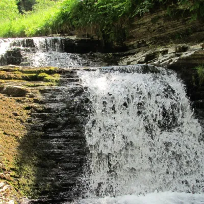 WaterfallSukil WaterfallsSukilNear the village of Sukil in the Bohorodchany urban hromada, the Sukil Waterfalls are truly a paradise for tourists...
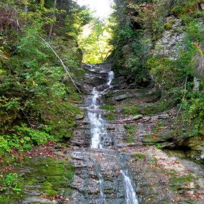 WaterfallBukovinian (Smugar) waterfallsRoztokyA picturesque chain of waterfalls, up to two kilometers long, stretches along the Smuhariv River in Bukovyna, in the...
Mountain ranges: Watershed Ridge, Krasna Polonyna, Pokuttia-Bukovina Carpathians, Gorgany, Rivna Polonyna, Bieszczady, Skole Beskids, Maramureș Mountains, Vihorlat-Gutin Volcanic Ridge. In other countries: 🇷🇴 Piatra Craiului, 🇷🇴 Harghita and Gurghiu Mountains, 🇷🇴 Iezer-Păpușa Mountains, 🇭🇺 Bükk, 🇸🇰 Low Tatras
Trails and peaks near which naturalists recorded the species (GBIF, iNaturalist), matched by altitude and habitat. Sightings are not guaranteed.
Sources
- Вікіпедія: Ящірка прудка
- Wikipedia (en): Sand lizard
- Wikipedia (pl): Jaszczurka zwinka
- Перелік видів тварин, що заносяться до Червоної книги України (наказ Міндовкілля від 19.01.2021 № 29, зареєстровано в Мін'юсті 01.03.2021 за № 260/35882)
- Міндовкілля: текст переліку видів тварин Червоної книги України (PDF)
- GBIF: таксон і категорія МСОП
- Директива Ради 92/43/ЄЕС про збереження природних оселищ (консолідована редакція)
GBIF · iNaturalist · Wikidata · Distribution data: GBIF.org (CC0 and CC BY records), iNaturalist; names and identifiers: Wikidata (CC0). Text: Karpaty.rocks, checked 09.11.2026.
