No. 11 Boryslav – Dovbush Rocks
Trail map
Route, springs and shelters: © OpenStreetMap contributors (ODbL) · elevation: Copernicus DEM © DLR e.V., © Airbus DS · Data & licences
Where to stay nearby


About the trail
Route No. 11 Boryslav – Dovbush Rocks. Has yellow marking (regional route №11). Waymarking data: OpenStreetMap (© OpenStreetMap contributors, ODbL).
Officially marked regional tourist route №11. The marking is yellow, the sign is a horizontal stripe on a white background. Marked and maintained by: Department of Tourism and Resorts of Lviv Oblast. Length of the route — 48.2 km. Location: mountain massif — Verkhniodnistrovski Beskydy, Lviv Oblast.
Attention: part of the route has not yet been marked on OpenStreetMap, so the line on the map has gaps. On the ground, orient yourself by the marking signs.
At a glance
A multi-day route of 48.2 km with 1,349 m of ascent from Dovbush Rocks to Boryslav. Estimated time: 2 days of 7–8 h of walking (about 14.5 h in total, not counting stops). Difficulty: hard. Waymarking: yellow.
Route stages
- 0–25 kmGentle ups and downs at 370–770 m
- 25–29 kmDescent of 230 m (down to 527 m)
- 29–34 kmClimb of 320 m (up to 845 m)
- 34–46 kmGentle ups and downs at 430–850 m
- 46–48 kmClimb of 160 m to Mount Horodyshche (646 m)
Steepest kilometre: km 23–24, a climb of 180 m (≈18%).
Water and overnight stays
Springs near the trail: at km 0, 18, 39, 40 and 42. There are no springs between km 18 and 39 — carry at least 3.5 l of water. Some springs run low or dry up in late summer.
Places to stay near the start: Skole; near the finish: Skhidnytsia.
A possible split into days:
- Day 1: km 0–24, ≈7 h — overnight: no shelter nearby on the map, bring a tent
- Day 2: km 24–48, ≈7 h — finish
When to go
The route can be walked most of the year; it is most comfortable from April to October.
Getting there
Start: Dovbush Rocks. Most places to stay near the start are in Skole. This is a one-way route: the finish is 34 km from the start in a straight line, so plan your way back in advance.
FAQ
- How long does the route take?
- Estimated time: 2 days of 7–8 h of walking (about 14.5 h in total, not counting stops).
- Is there water on the route?
- Springs near the trail: at km 0, 18, 39, 40 and 42. There are no springs between km 18 and 39 — carry at least 3.5 l of water. Some springs run low or dry up in late summer.
- Where can I stay overnight?
- Places to stay near the start: Skole; near the finish: Skhidnytsia.
Water and shelter on the route
- Spring (Bubnyshche, 2)km 0.3 from the start · 130 m off the path · Not verified · 644 m
- Spring (Bubnyshche)km 1 from the start · 130 m off the path · Weak flow · 578 m
- Spring (Verkhnia Stynava, 3)km 18.8 from the start · 200 m off the path · Not verified · 601 m
- Mineral spring No. 5km 40.2 from the start · 130 m off the path · Not verified · 658 m
- Spring No. 2ckm 41.9 from the start · Not verified · 558 m
- Mineral water pump room No. 20, 21km 42.7 from the start · 250 m off the path · Not verified · 544 m
- Mineral spring No. 18ckm 43.2 from the start · Not verified · 568 m
Before you go, check the border-regime restrictions: Border Guard permit for mountain hikes (in Ukrainian)
Comments
Trails nearby
All trails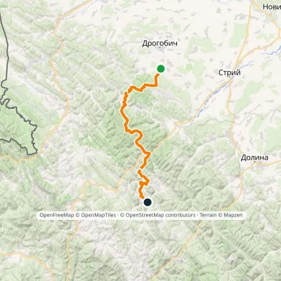 HardMulti-dayMarkedNo. 504 Truskavets SlavskoElevation profile349–1 168 m88.5 kmascent 3 915 m
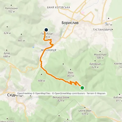 EasyOne-dayMarkedMonastery Road: Boryslav Mount Horodyshche (VeloBeskydy)Elevation profile424–776 m10.3 kmascent 207 m≈ 3 h walking
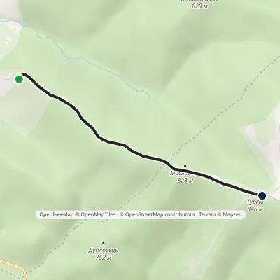 EasyOne-dayMarkedZolota Bania: Skhidnytsia Mount Maslovets (VeloBeskydy)Elevation profile707–852 m2.9 kmascent 135 m≈ 60 min walking
Craft nearby
All craft places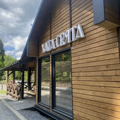 Koliby & Hutsul cuisineKhata Sviata Restaurant, HrebenivHrebeniv17 km from the trailKhata Sviata restaurant is a small timber restaurant in the village of Hrebeniv between Skole and Slavske, serving Boyko cooking in a modern way but with respect for...
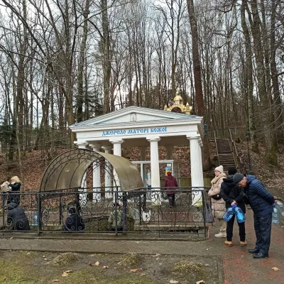 Theme parksSpring No. 4 of the Mother of God, MorshynMorshyn18 km from the trailSpring No. 4, also known as the Spring of the Mother of God, is Morshyn’s most famous mineral spring and probably the resort’s best-loved spot.
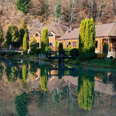 Koliby & Hutsul cuisineZolota Forel restaurant, KorostivKorostiv19 km from the trailZolota Forel (“Golden Trout”) is a restaurant and hotel complex in the village of Korostiv near Skole, right beside the Kyiv–Chop highway.
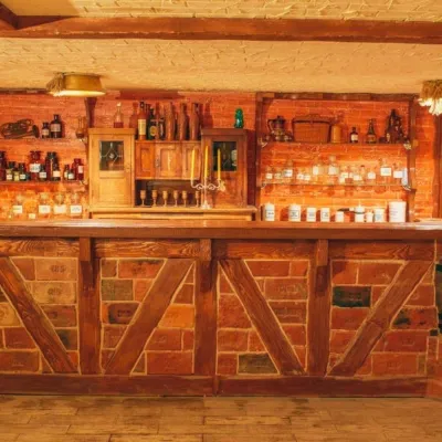 Honey & meaderiesChorna Bdzhola Meadery, VyhodaVyhoda21 km from the trailChorna Bdzhola (“Black Bee”) in Vyhoda is a small, cosy meadery in the Kalush district of the Ivano-Frankivsk region, where you can learn how drinking mead was...
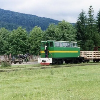 Heritage transportCarpathian TramVyhoda21 km from the trailIn 1873, Austrian entrepreneur Baron Leopold Popper von Podgari moved the headquarters of his company from Hungary to Galicia.
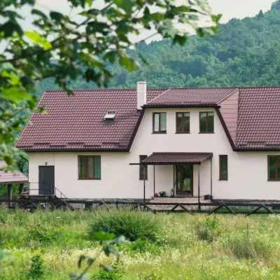 Ethno parks & homesteadsU Dvori Ethno Complex, PidhorodtsiPidhorodtsi23 km from the trailU Dvori ethno complex is a family homestead in the village of Pidhorodtsi near Skole, set on a hill above the Stryi river valley a few kilometres from the Tustan rock...
