Mount Parashka


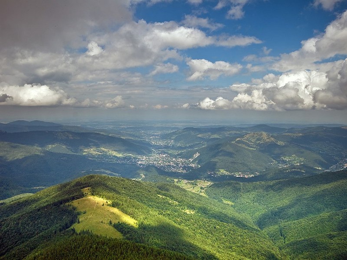
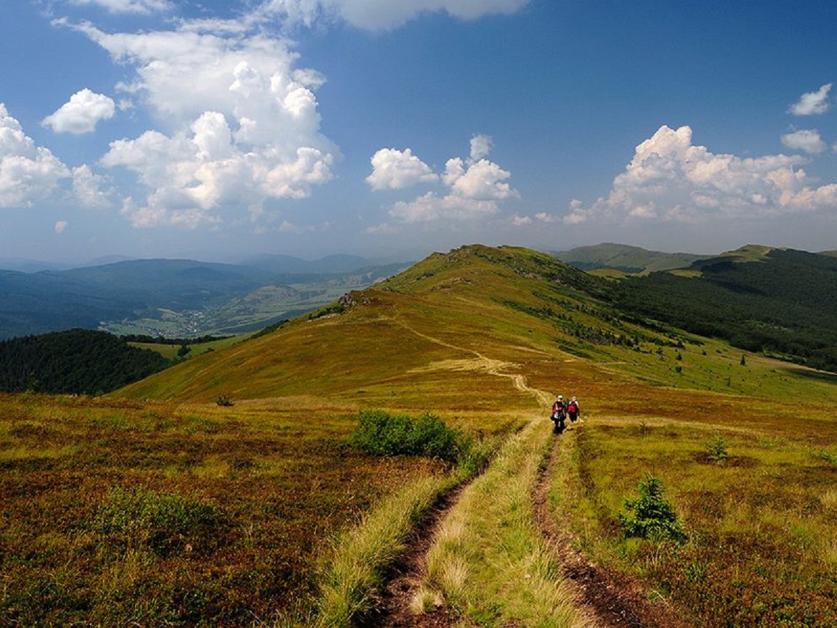
Parashka (also known as Paraska) is the highest mountain of the eponymous ridge located in the Skole Beskydy. Its height is 1271 m (according to other sources - 1268 m). The mountain is located about 8 km northwest of the town of Skole. There is a memorial plaque on the slope of Parashka, and a tall metal cross on the very top.
Tourists fell in love with the peak not only because of its, so to speak, "accessibility" and ease of getting there from any city (in this regard, Skole is very much in favor of other Carpathian settlements), but also because of the magnificent surrounding landscapes that open from its top in clear, cloudless weather. Indeed, with a clear sky and a nice day, all the nearby ridges and their peaks will be in the palm of your hand.
In addition, in good weather, from Parashka you can see not only the neighboring village of Korchyn, but also Stryi, Mykolaiv and even Lviv, which, by the way, is located at a distance of 90 km (!).
The popularity of Parashka
Parashka's popularity is explained by the incredible views of the Skole Beskydy, very convenient transport links to Lviv, and easy elevation changes that are accessible to most tourists.
Climbing Parashka is the most popular route in this region. On sunny days, you can meet numerous school excursions, scout camps, families with small children, mountain runners, and other outdoor enthusiasts who can't and don't want to stay at home.
Experienced tourists say that a hike to Parashka is not exactly a climb, but rather a pleasant leisurely weekend walk of 16 kilometers (round trip), which in total will take no more than 8-10 hours (depending on the pace of walking).
The legend of the name origin
According to an ancient legend, the mountain is named after Paraska, who was the daughter (according to the second version - the wife) of the son of Volodymyr the Great, Prince Sviatoslav. It was on this peak that the unfortunate woman was killed after her husband's defeat and death in a battle with the army of Sviatopolk Okayan in 1015.
However, although there is no direct evidence or refutation of this legend, it has been alive for many centuries and, I suspect, will live long after us.
The route
The most popular and easiest route to the top of Parashka starts in the town of Skole, or to be more precise, from the train station (both the train and bus stations are nearby). After arriving at the station, you need to cross the tracks in the direction of the Kyiv-Chop highway (you can ask any of the locals).
The best starting point for the route is the Rukavychka supermarket. It is behind this store that the trail leads up. There is another way to start the climb. To do this, you need to walk about 200 meters in the direction of Chop, and before the intersection turn right and take the route.
After conquering the top, you can return back to Skole, or you can take the route to the village of Korchyn, where you can also enjoy the beauty and power of the Gurkalo waterfall, and in the warm season - even swim.
The summit at a glance
- Elevation: 1268 m above sea level
- Range: Skole Beskids
- Nearest settlement: Skole
- Routes over the summit on Karpaty.rocks: 16
- Best time: May–October; deep snow is possible in winter
Routes to the summit
The routes over the summit most viewed by Karpaty.rocks readers. Length and ascent come from our track and a digital elevation model, time from Naismith's rule (without stops).
- Skole – Mount Parashka – Skole — 20.3 km, ascent 962 m, ≈6.5 h of walking, loop
- Korchyn village, via Hurkalo Waterfall and Mount Parashka to Krushelnytsia village — 39.2 km, ascent 1,072 m, ≈11.5 h of walking
- Skole – Mount Parashka — 10.2 km, ascent 880 m, ≈4 h of walking
- Skole, via Mount Parashka, Hurkalo Waterfall and Korchyn village to Skole — 38.1 km, ascent 1,038 m, ≈11 h of walking, loop
- Skole, via Mount Parashka and Hurkalo Waterfall to Korchyn village — 22 km, ascent 909 m, ≈7 h of walking
- Skole, via Mount Parashka to Hurkalo Waterfall — 18.9 km, ascent 829 m, ≈6 h of walking
All routes over the summit (16)
Weather and safety
Mountain weather changes faster than in the valleys, especially in autumn and spring. Check the forecast before you set off, take water, a rain jacket and a warm layer, and plan to reach the top before midday. Summit weather forecast.
In an emergency call 101 or 112. Carpathian mountain rescue contacts.
FAQ — Parashka
Parashka: how high is the summit?
It rises to 1268 m above sea level and belongs to the Skole Beskids range.
Parashka: how long does it take to reach the summit?
The shortest of the popular routes is “Skole – Mount Parashka”: 10.2 km with 880 m of ascent, about 4 h of walking without stops. Allow extra time for rests, photos and the weather.
Parashka: when is the best time to go?
May to October. In winter there may be deep snow on the way up, so experience and winter gear are needed.
Parashka: where to stay nearby?
The nearest settlement in our data is Skole. Places to stay nearby: hotels, guesthouses and cottages.
Location on the map
Water and shelter nearby
- Mountain shelter below Mount Parashka330 m · Not verified · 1 143 m
- Spring below Mount Parashka (3)560 m · Not verified · 1 069 m
- Spring below Mount Parashka (5)870 m · Not verified · 928 m
- Spring below Mount Parashka (4)900 m · Not verified · 919 m
- Spring below Mount Parashka1.2 km · Not verified · 1 036 m
- Spring below Mount Parashka (6)1.5 km · Not verified · 1 109 m
- Spring below Mount Parashka (8)2.1 km · Not verified · 781 m
- Spring below Mount Parashka (7)2.2 km · Not verified · 1 087 m
- Spring below Mount Parashka (2)2.3 km · Not verified · 741 m
- Spring (Korostiv, 2)2.6 km · Not verified · 695 m
Comments
Places to stay nearby
All stays HomesteadFainy HazdySkole7.6 km from Mount ParashkaFireplaceKitchenParkingNearby: Gredl Palace 1.8 kmKamianka waterfall 4.2 km25 trails
 HotelComplex "Zolota Forel" MykulychynKorostiv6.7 km from Mount ParashkaHot tubPoolSPANearby: Tomb of Prince Sviatoslav 3.7 kmMt Parashka 6.7 km3 trails
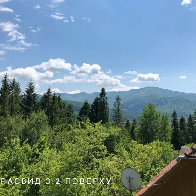 CottageCottage / Rooms in the Forest Area of SkoleSkole8.1 km from Mount ParashkaBBQKitchenPetsNearby: Kamianka waterfall 3.5 kmLake Zhuravlyne 4.0 km25 trails
 HotelMotel "Okay"Korostiv7.4 km from Mount ParashkaSaunaParkingTransferNearby: Tomb of Prince Sviatoslav 2.3 kmGredl Palace 3.9 km7 trails
 HotelHotel-Restaurant "Vyvcharyk" MykulychynSkole7.9 km from Mount ParashkaSaunaWi‑FiTransferNearby: Gredl Palace 1.6 kmKamianka waterfall 4.0 km25 trails
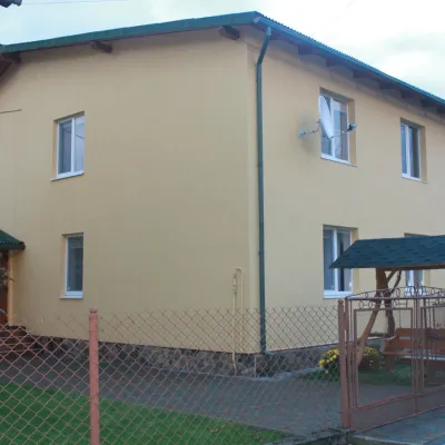 HomesteadHomestead "Zelena Khata" SkoleSkole8.1 km from Mount ParashkaKitchenParkingWi‑FiNearby: Gredl Palace 2.5 kmKamianka waterfall 3.5 km26 trails
Trails via Mount Parashka
All 16 ModerateTwo-dayMarkedSkole loopvia Mount ParashkaElevation profile442–1 263 m20.3 kmascent 962 m≈ 7 h walking
 HardMulti-dayKorchyn village to Krushelnytsia villagevia Hurkalo Waterfall, Mount ParashkaElevation profile396–1 263 m39.2 kmascent 1 072 m≈ 12 h walking
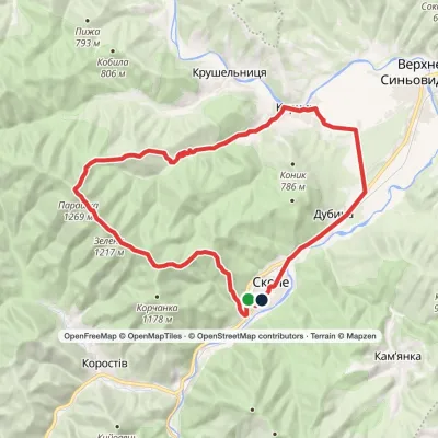 HardMulti-daySkole loopvia Mount Parashka, Hurkalo Waterfall +1Elevation profile396–1 264 m38.1 kmascent 1 038 m≈ 11.5 h walking
Nearby attractions
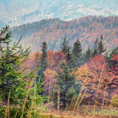 PeakMount Tymkiv VerkhKorostivaltitude 1 227 m · Skole Beskids rangeunder 1 km from Mount ParashkaTymkiv Verkh (also spelled Tymkyn Verkh) is a 1,227 m summit on the Parashka ridge in the Skole Beskids, Lviv Oblast.
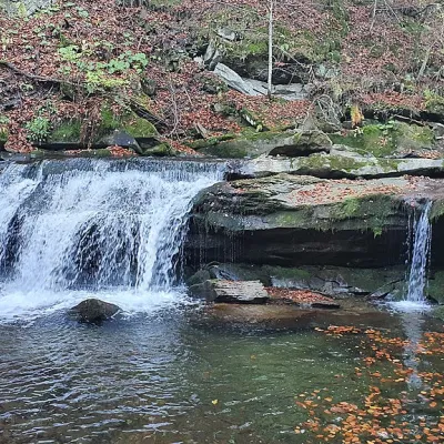 WaterfallKrushelnytskyi waterfallKrushelnytsia3.4 km from Mount ParashkaThe real decoration of the mighty Carpathian Mountains is its numerous picturesque waterfalls.
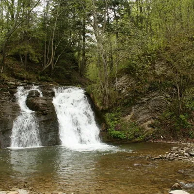 WaterfallGurkalo waterfallKorchyn4.5 km from Mount ParashkaGurkal, located on the Velyka Richka River, has a very eloquent name! You can't argue with it, especially when the snow begins to melt in the mountains - at this time,...
Craft nearby
All craft places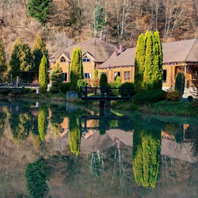 Koliby & Hutsul cuisineZolota Forel restaurant, KorostivKorostiv6.7 km from Mount ParashkaZolota Forel (“Golden Trout”) is a restaurant and hotel complex in the village of Korostiv near Skole, right beside the Kyiv–Chop highway.
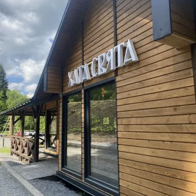 Koliby & Hutsul cuisineKhata Sviata Restaurant, HrebenivHrebeniv9.3 km from Mount ParashkaKhata Sviata restaurant is a small timber restaurant in the village of Hrebeniv between Skole and Slavske, serving Boyko cooking in a modern way but with respect for...
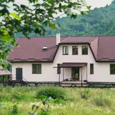 Ethno parks & homesteadsU Dvori Ethno Complex, PidhorodtsiPidhorodtsi9.5 km from Mount ParashkaU Dvori ethno complex is a family homestead in the village of Pidhorodtsi near Skole, set on a hill above the Stryi river valley a few kilometres from the Tustan rock...
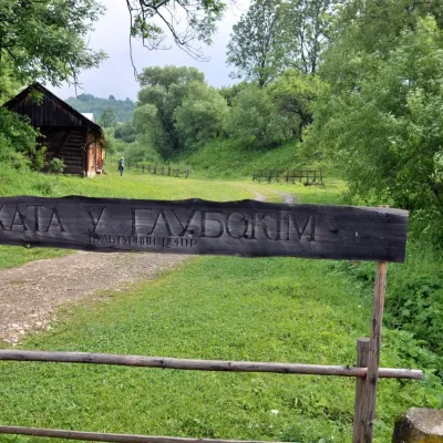 Crafts & workshopsKhata u Hlubokim Local History Centre, UrychUrych12 km from Mount ParashkaKhata u Hlubokim (“the House in Hlyboke”) is an old Boyko house in Urych that the Tustan State Historical and Cultural Reserve has turned into a local history centre.
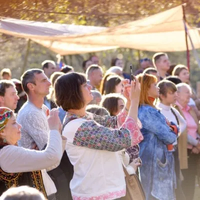 Ethno tours & guidesBoyYe Boyko Culture Festival, UrychUrych12 km from Mount ParashkaBoyYe is a festival of Boyko culture launched by the Tustan State Historical and Cultural Reserve in the village of Urych.
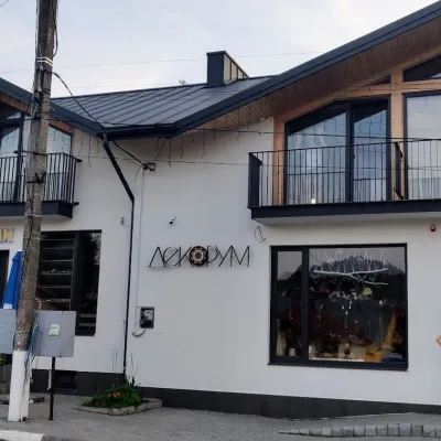 Craft shopsDecorum Art Shop, SkhidnytsiaSkhidnytsia18 km from Mount ParashkaDecorum is a small art shop in the very heart of Skhidnytsia, on Zolota Bania Street close to the central pump rooms and the resort's promenade.
