Skole – Mount Parashka
Unmarked trailmore
It may be partly marked. Unmarked trails have no information boards, signposts or auxiliary signs (water, campsite, etc.). The decision to walk the trail is entirely your own responsibility.
Trail map
Where to stay nearby

About the trail
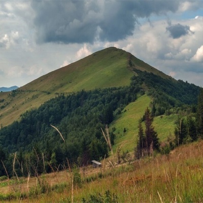
Route Skole – Mount Parashka. Along the route you will see: Mount Parashka.
At a glance
A one-day route of 10.2 km with 960 m of ascent from Skole to Mount Parashka. Estimated walking time: about 4 h, not counting stops. Difficulty: moderate. Waymarking is missing or partial.
Route stages
- 0–2 kmClimb of 350 m (up to 818 m)
- 2–5 kmGentle ups and downs at 810–920 m
- 5–6 kmClimb of 200 m (up to 1,114 m)
- 6–10 kmGentle ups and downs at 1,110–1,250 m, past Mount Obroslyi Verkh, Mount Zelena, Mount Tymkiv Verkh
Steepest kilometre: km 0–1, a climb of 210 m (≈19%), near Hut.
Water and overnight stays
Springs near the trail: at km 0, 3, 6 and 8. Some springs run low or dry up in late summer.
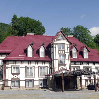
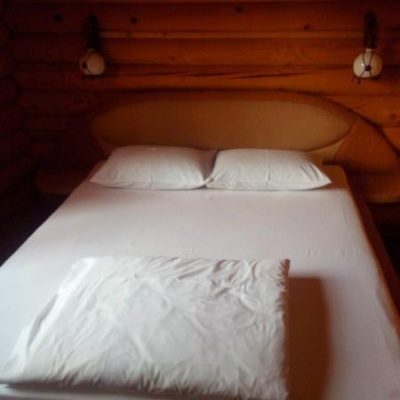
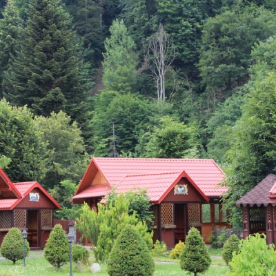
Huts and shelters near the trail: Hut (Skole) (km 0), Mountain shelter below Mount Parashka (km 10). Places to stay near the start and finish: Skole.
When to go
Best time: May to October. In winter deep snow is possible, so experience and winter gear are needed.
Getting there
Start: Skole. This is a one-way route: the finish is 7 km from the start in a straight line, so plan your way back in advance.
FAQ
- How long does the route take?
- Estimated walking time: about 4 h, not counting stops.
- Is there water on the route?
- Springs near the trail: at km 0, 3, 6 and 8. Some springs run low or dry up in late summer.
- Where can I stay overnight?
- Huts and shelters near the trail: Hut (Skole) (km 0), Mountain shelter below Mount Parashka (km 10). Places to stay near the start and finish: Skole.
Water and shelter on the route
- Mineral spring “Naftusia” (2)km 0.1 from the start · Not verified · 463 m
- Hut (Skole)km 0.2 from the start · 120 m off the path · Not verified · 489 m
- Spring (Skole, 3)km 3 from the start · Dried up · 880 m
- Spring (Skole)km 5.2 from the start · Weak flow · 1 083 m
- Spring below Mount Parashka (7)km 7.2 from the start · 190 m off the path · Not verified · 1 087 m
- Spring below Mount Parashka (6)km 8 from the start · 150 m off the path · Not verified · 1 109 m
- Mountain shelter below Mount Parashkakm 9.3 from the start · 220 m off the path · Not verified · 1 143 m
Comments
What to see on the trail
Trails nearby
All trails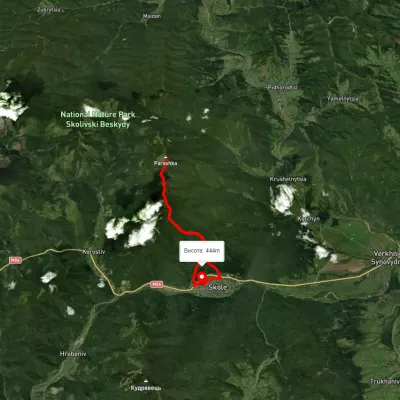 HardTwo-dayUnmarkedSkole loopvia Mount ParashkaElevation profile76–1 257 m20.3 kmascent 1 494 m≈ 8 h walking
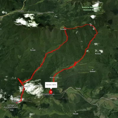 HardMulti-dayUnmarkedKorchyn village to Krushelnytsia villagevia Hurkalo Waterfall, Mount ParashkaElevation profile392–1 260 m39.2 kmascent 1 286 m≈ 12.5 h walking
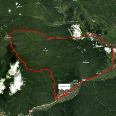 HardMulti-dayUnmarkedSkole loopvia Mount Parashka, Hurkalo Waterfall +1Elevation profile392–1 263 m38.1 kmascent 1 304 m≈ 12 h walking
Craft nearby
All craft places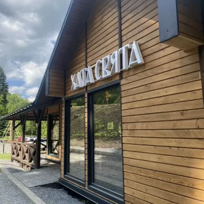 Koliby & Hutsul cuisineKhata Sviata Restaurant, HrebenivHrebeniv5.4 km from the trailKhata Sviata restaurant is a small timber restaurant in the village of Hrebeniv between Skole and Slavske, serving Boyko cooking in a modern way but with respect for...
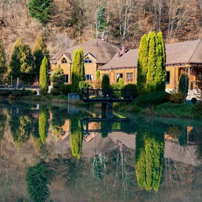 Koliby & Hutsul cuisineZolota Forel restaurant, KorostivKorostiv6.1 km from the trailZolota Forel (“Golden Trout”) is a restaurant and hotel complex in the village of Korostiv near Skole, right beside the Kyiv–Chop highway.
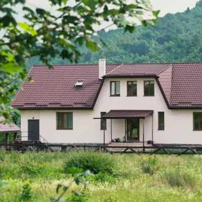 Ethno parks & homesteadsU Dvori Ethno Complex, PidhorodtsiPidhorodtsi15 km from the trailU Dvori ethno complex is a family homestead in the village of Pidhorodtsi near Skole, set on a hill above the Stryi river valley a few kilometres from the Tustan rock...
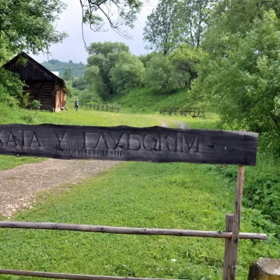 Crafts & workshopsKhata u Hlubokim Local History Centre, UrychUrych18 km from the trailKhata u Hlubokim (“the House in Hlyboke”) is an old Boyko house in Urych that the Tustan State Historical and Cultural Reserve has turned into a local history centre.
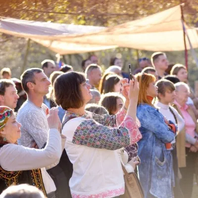 Ethno tours & guidesBoyYe Boyko Culture Festival, UrychUrych18 km from the trailBoyYe is a festival of Boyko culture launched by the Tustan State Historical and Cultural Reserve in the village of Urych.
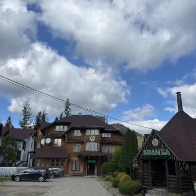 Koliby & Hutsul cuisineKolyba “Smerekova Khata”, SlavskeSlavske20 km from the trailKolyba “Smerekova Khata” is the ethno-restaurant of the hotel complex of the same name at the entrance to Slavske, one of the best-known mountain resorts of the Boyko...
