Skole — to Korchyn village, via Mount Parashka, Hurkalo Waterfall
Unmarked trailmore
It may be partly marked. Unmarked trails have no information boards, signposts or auxiliary signs (water, campsite, etc.). The decision to walk the trail is entirely your own responsibility.
Trail map
Where to stay nearby
About the trail
Route Skole, via Mount Parashka and Hurkalo Waterfall to Korchyn village. Along the route you will see: Church of the Nativity of the Virgin Mary, Skole, Skole Beskydy National Nature Park, Mount Parashka, Gurkalo waterfall.
At a glance
A one-day route of 22 km with 1,215 m of ascent from Skole to Korchyn village. Estimated walking time: about 7.5 h, not counting stops. Difficulty: hard. Waymarking is missing or partial.
Route stages
- 0–7 kmClimb of 670 m (up to 1,165 m)
- 7–11 kmGentle ups and downs at 1,160–1,280 m, past Mount Obroslyi Verkh, Mount Zelena, Mount Tymkiv Verkh, Mount Parashka
- 11–13 kmDescent of 380 m (down to 899 m)
- 13–15 kmGentle ups and downs at 890–940 m, past Mount Dil
- 15–17 kmDescent of 330 m (down to 592 m)
- 17–22 kmGentle ups and downs at 440–600 m
Steepest kilometre: km 1–2, a climb of 230 m (≈22%), near Hut.
Water and overnight stays
Springs near the trail: at km 1, 4, 6, 8 and 21. There are no springs between km 9 and 21 — carry at least 2 l of water. Some springs run low or dry up in late summer.
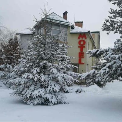
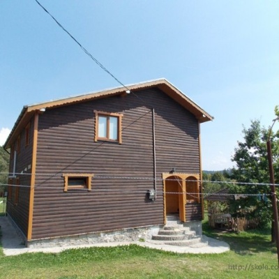
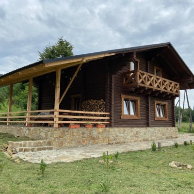
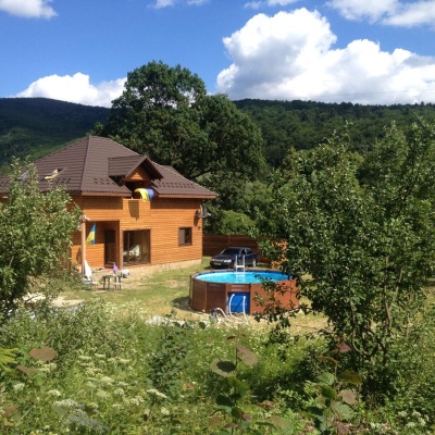
Huts and shelters near the trail: Hut (Skole) (km 1), Mountain shelter below Mount Parashka (km 11). Places to stay near the start and finish: Skole.
When to go
Best time: May to October. In winter deep snow is possible, so experience and winter gear are needed.
Getting there
Start: Skole. This is a one-way route: the finish is 7 km from the start in a straight line, so plan your way back in advance.
FAQ
- How long does the route take?
- Estimated walking time: about 7.5 h, not counting stops.
- Is there water on the route?
- Springs near the trail: at km 1, 4, 6, 8 and 21. There are no springs between km 9 and 21 — carry at least 2 l of water. Some springs run low or dry up in late summer.
- Where can I stay overnight?
- Huts and shelters near the trail: Hut (Skole) (km 1), Mountain shelter below Mount Parashka (km 11). Places to stay near the start and finish: Skole.
Water and shelter on the route
- Mineral spring “Naftusia” (2)km 1.1 from the start · Not verified · 463 m
- Hut (Skole)km 1.3 from the start · 120 m off the path · Not verified · 489 m
- Spring (Skole, 3)km 4 from the start · Dried up · 880 m
- Spring (Skole)km 6 from the start · Weak flow · 1 083 m
- Spring below Mount Parashka (7)km 8 from the start · 190 m off the path · Not verified · 1 087 m
- Spring below Mount Parashka (6)km 8.8 from the start · 140 m off the path · Not verified · 1 109 m
- Mountain shelter below Mount Parashkakm 10.1 from the start · 220 m off the path · Not verified · 1 143 m
- Spring (Korchyn)km 19.9 from the start · Not verified · 422 m
Comments
What to see on the trail
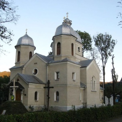 Church of the Nativity of the Virgin Mary, Skolealtitude 439 mThe Church of the Nativity of the Virgin Mary appeared in Skole in 1896. Before it was built, there was only one wooden church in the small town,...
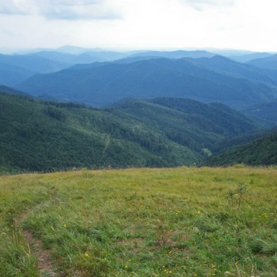 Skole Beskydy National Nature Parkaltitude 439 mSkole Beskydy is a land of rugged, majestic mountains that proudly stretch over 35 thousand hectares.
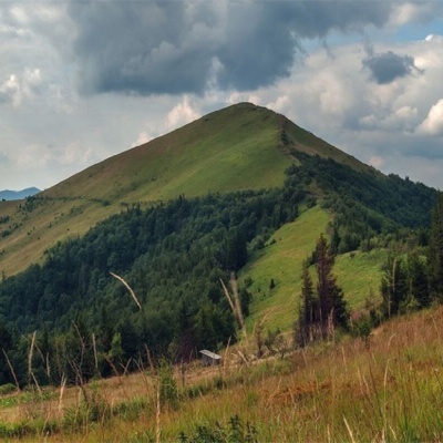 Mount Parashkaaltitude 1 268 mParashka (also known as Paraska) is the highest mountain of the eponymous ridge located in the Skole Beskydy.
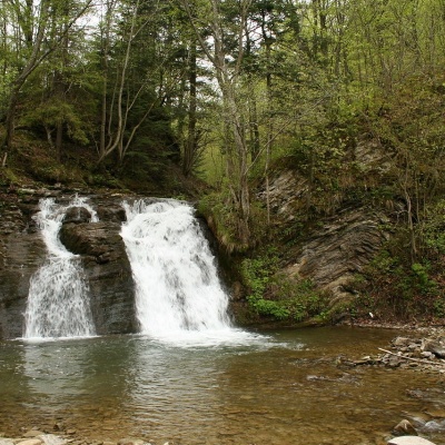 Gurkalo waterfallaltitude 398 mGurkal, located on the Velyka Richka River, has a very eloquent name! You can't argue with it, especially when the snow begins to melt in the...
Trails nearby
All trails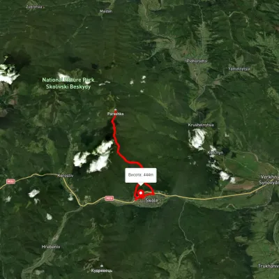 HardTwo-dayUnmarkedSkole loopvia Mount ParashkaElevation profile76–1 257 m20.3 kmascent 1 494 m≈ 8 h walking
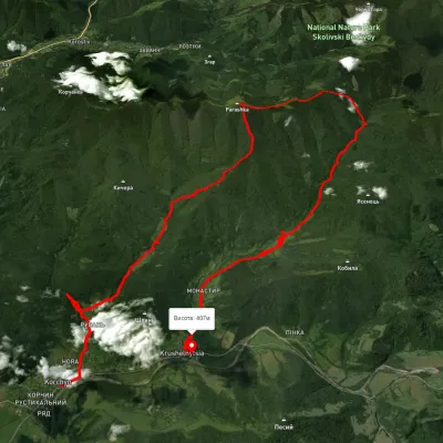 HardMulti-dayUnmarkedKorchyn village to Krushelnytsia villagevia Hurkalo Waterfall, Mount ParashkaElevation profile392–1 260 m39.2 kmascent 1 286 m≈ 12.5 h walking
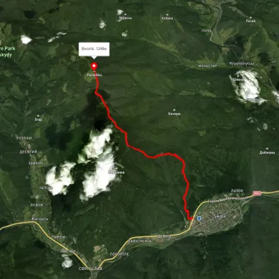 ModerateOne-dayUnmarkedSkole Mount ParashkaElevation profile444–1 259 m10.2 kmascent 960 m≈ 4.5 h walking