Mizunskyi Waterfall – Dubovyi Kut
Trail map
Route, springs and shelters: © OpenStreetMap contributors (ODbL) · elevation: Copernicus DEM © DLR e.V., © Airbus DS · Data & licences
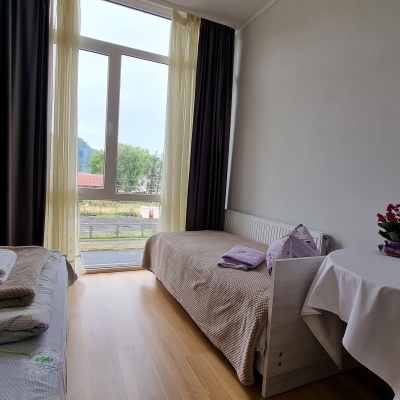
Where to stay nearby

About the trail
Route Mizunskyi Waterfall – Dubovyi Kut. Has blue marking (waymarked route). Waymarking data: OpenStreetMap (© OpenStreetMap contributors, ODbL).
Officially marked tourist route. The marking is blue, the sign is a horizontal stripe on a white background. Length of the route is 2.8 km. Location: mountain range – Horgany, Ivano-Frankivsk region.
At a glance
A short route of 2.8 km with 26 m of ascent from Mizunskyi Waterfall to Dubovyi Kut. Estimated walking time: about 1 h, not counting stops. Difficulty: easy. Waymarking: blue.
Water and overnight stays
A spring near the trail: at km 0.
When to go
The route can be walked most of the year; it is most comfortable from April to October.
Getting there
Start: Mizunskyi Waterfall. This is a one-way route: the finish is 2 km from the start in a straight line, so plan your way back in advance.
FAQ
- How long does the route take?
- Estimated walking time: about 1 h, not counting stops.
- Is there water on the route?
- A spring near the trail: at km 0.
Water and shelter on the route
- Spring (Novyi Mizun, 2)km 0.1 from the start · Not verified · 534 m
Before you go, check the border-regime restrictions: Border Guard permit for mountain hikes (in Ukrainian)
Comments
Trails nearby
All trails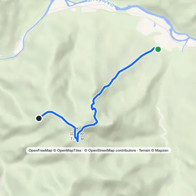 EasyOne-dayMarkedRoute to Mount ShchavnaElevation profile575–1 169 m5 kmascent 576 m≈ 2.5 h walking
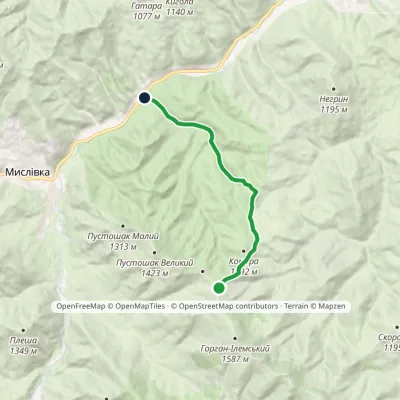 EasyOne-dayMarkedIlmia forestry Nimetska polonynaElevation profile601–1 256 m10 kmascent 46 m≈ 2.5 h walking
 EasyOne-dayMarkedLypa village Robert's Bunkervia YavorynaElevation profile604–1 073 m11.2 km≈ 3 h walking
Craft nearby
All craft places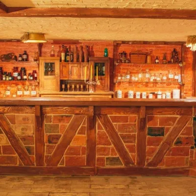 Honey & meaderiesChorna Bdzhola Meadery, VyhodaVyhoda9 km from the trailChorna Bdzhola (“Black Bee”) in Vyhoda is a small, cosy meadery in the Kalush district of the Ivano-Frankivsk region, where you can learn how drinking mead was...
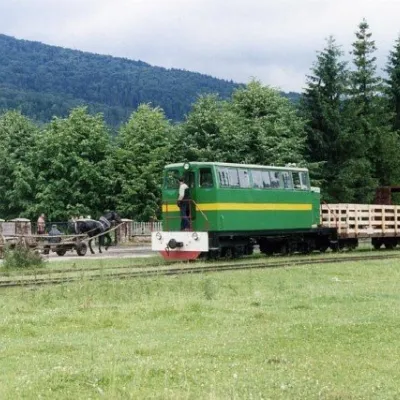 Heritage transportCarpathian TramVyhoda9.1 km from the trailIn 1873, Austrian entrepreneur Baron Leopold Popper von Podgari moved the headquarters of his company from Hungary to Galicia.
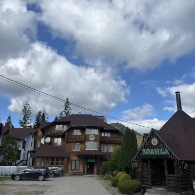 Koliby & Hutsul cuisineKolyba “Smerekova Khata”, SlavskeSlavske26 km from the trailKolyba “Smerekova Khata” is the ethno-restaurant of the hotel complex of the same name at the entrance to Slavske, one of the best-known mountain resorts of the Boyko...
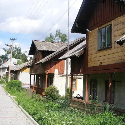 Ethno tours & guidesBarvy Karpat Excursions, SlavskeSlavske26 km from the trailBarvy Karpat («Colours of the Carpathians») is a small local excursion organiser based in Slavske, one of the best-known resorts of the Skole Beskids.
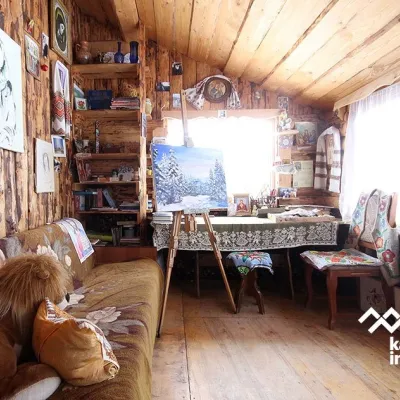 Crafts & workshopsViktoria Art Gallery, SlavskeSlavske27 km from the trailThe Viktoria Art Gallery in Slavske is a small family gallery and studio where art lives not behind glass but in the homely atmosphere of a wooden house.
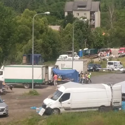 Markets & fairsFriday Market, SlavskeSlavske27 km from the trailThe Friday market in Slavske is a real mountain bazaar of the Boyko region, where sellers and shoppers from the surrounding villages of the Skole Beskids gather every...
