Mount Mahura
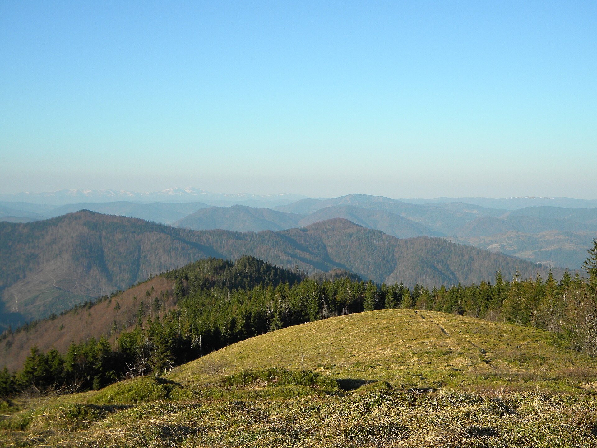
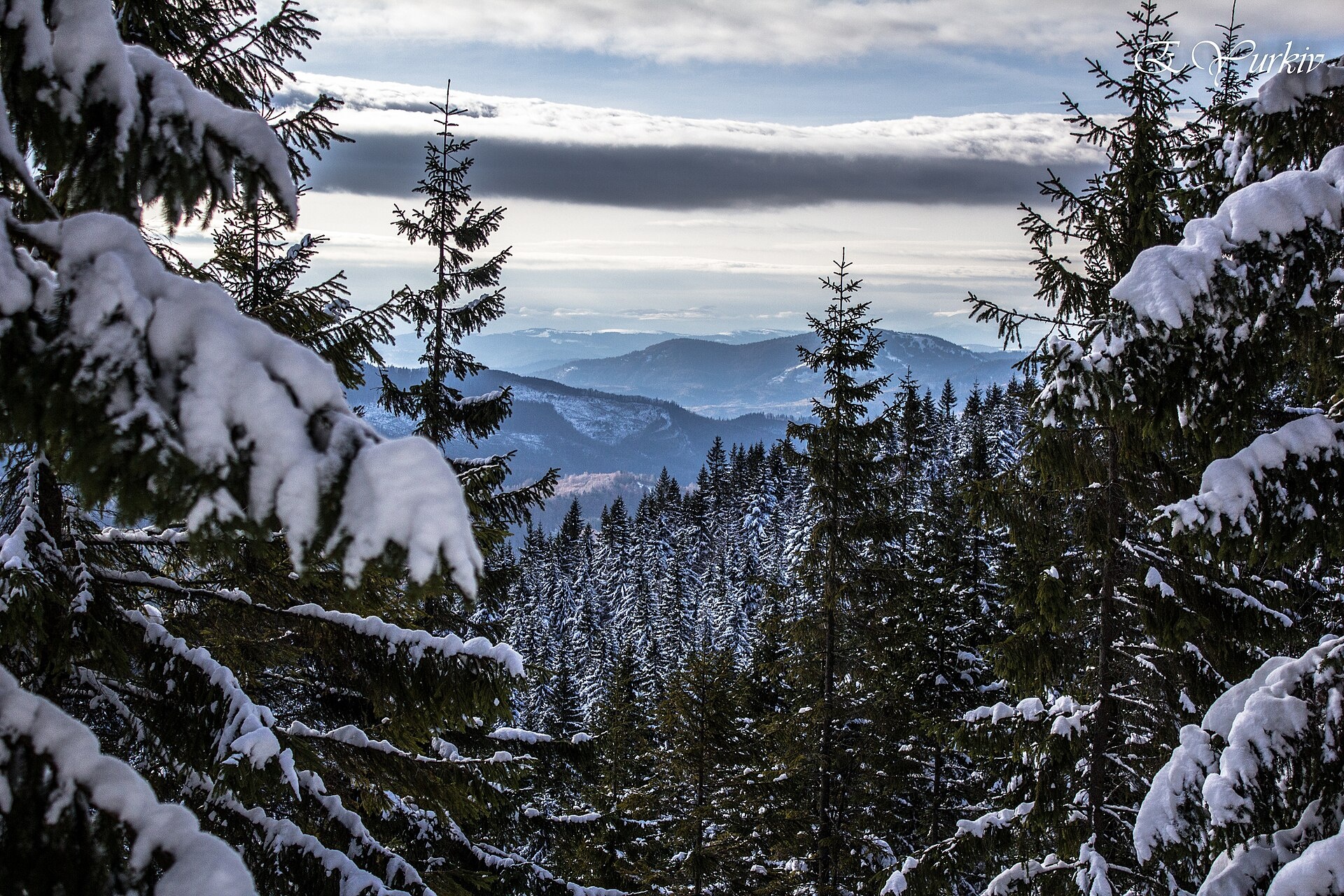
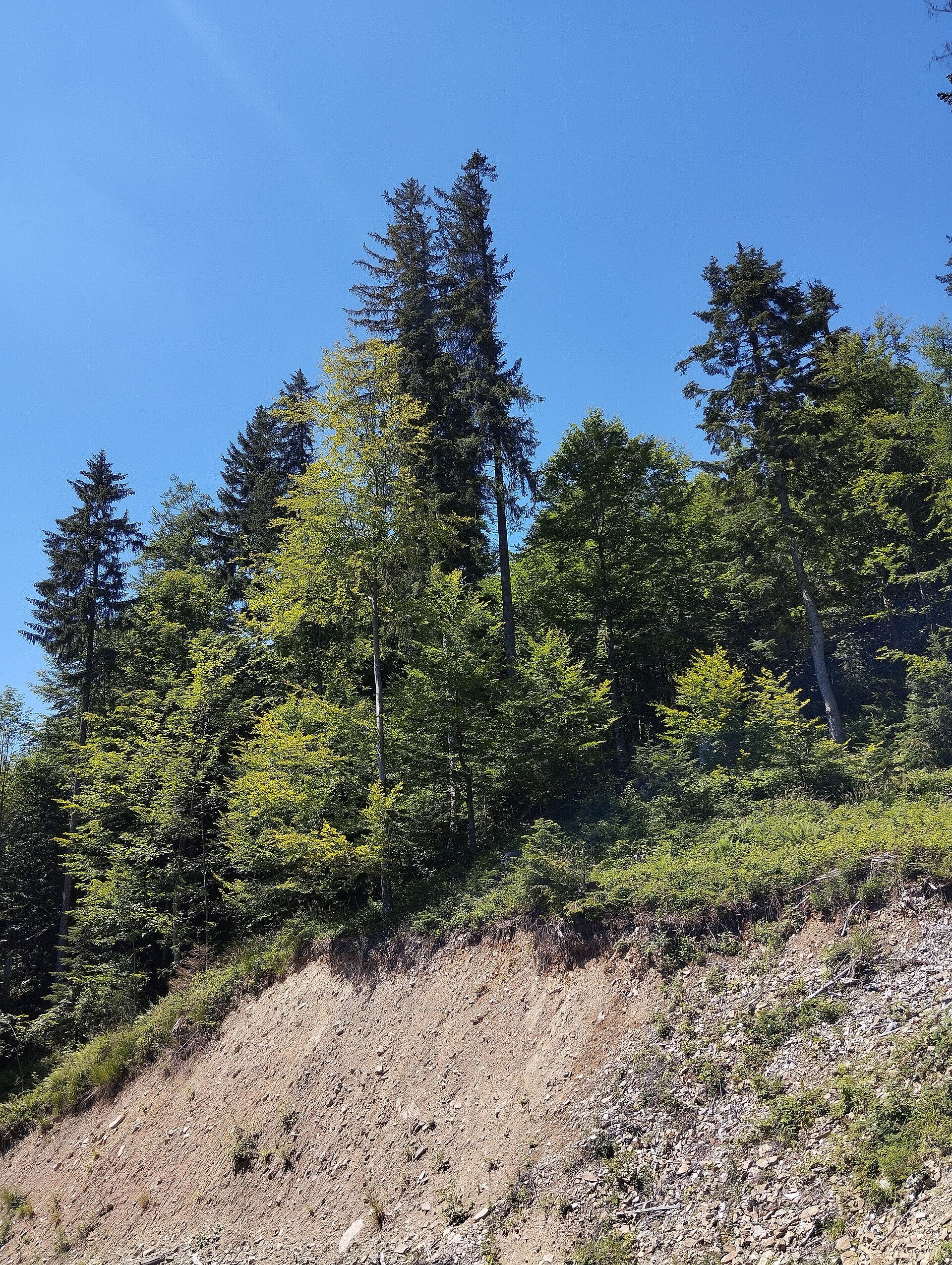
Mahura is a peak of the Skole Beskids. It stands on the border of the Stryi district of Lviv Oblast and the Dolyna district of Ivano-Frankivsk Oblast, between the Opir and Mizunka rivers. It is 1363 m high (more precisely 1362.7 m). Mahura is the second-highest peak of Lviv Oblast after Pikui. The village of Lybokhora lies west of the mountain.
The summit and slopes of Mahura are forested, so this is a quiet woodland mountain without wide meadows; views open up in clearings and near the top. The protected “Mahura” tract lies on the western slopes, and a stream of the same name rises on the eastern ones.
How to get there
The easiest ascent is the loop Lybokhora – Mount Mahura – Lybokhora: 18.4 km with about 800 m of ascent. It is a full day hike; allow 7–8 hours with breaks. Note that there are two villages called Lybokhora: this one near Mahura lies in the Skole Beskids, while the other one, in the former Turka district, is a starting point for hikes to Pikui.
Water, shelter and safety
Our map shows no springs or huts near the summit, so carry water and food. Forest paths are slippery after rain, and it is easy to take a wrong turn in dense woods — download the track and an offline map. The best season is from May to October; in winter you will need snowshoes or winter boots. In an emergency call 112 or 101; contacts of the nearest units are on the mountain rescue page.
Interesting facts
- Among modern Ukrainian neopagans Mahura is one of the names of Mother Slava, a winged warrior maiden.
- In the Carpathians “mahura” is a mountain whose summit is entirely covered with forest. The word comes from Romanian and means “hill, rise”.
Photos: Taras r, CC BY-SA 3.0; Elza Yurkiv, CC BY-SA 4.0; Anna Kuziava, CC BY-SA 4.0 — Wikimedia Commons.
Comments
Travellers’ experience: reports, tips, questions.
No one has reported on this trail yet. Been here lately? Tell others what it is like now.
Location on the map
Water and shelter nearby
- Spring (Lybokhora, 4)170 m · Not verified · 1 322 m
- Spring (Lybokhora, 3)1.3 km · Not verified · 1 016 m
Wildlife nearby
AllPlaces to stay nearby
All stays CottageNAGORU houseSlavske9 km from Mount MahuraBBQParkingWi‑FiNearby: Mt Makivka 5.3 kmTomb of Prince Sviatoslav 9.5 km7 trailsfrom 3 600 UAH per night
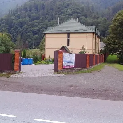 HotelKhutoryankaSlavske9.1 km from Mount MahuraPoolSaunaBBQNearby: Mt Makivka 5.7 kmMt Trostian 7.2 km10 trailsfrom 798 UAH per night
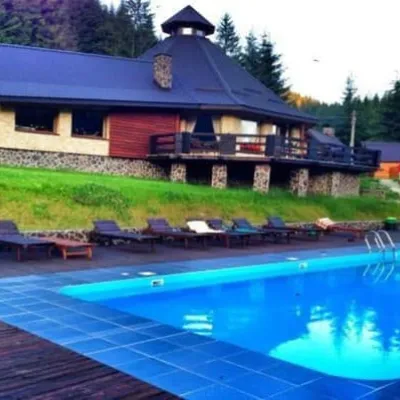 HotelMedovyi DvirSlavske9.4 km from Mount MahuraPoolSaunaParkingNearby: Mt Vysokyi Verkh 6.7 kmMt Trostian 7.4 km6 trailsfrom 2 000 UAH per night
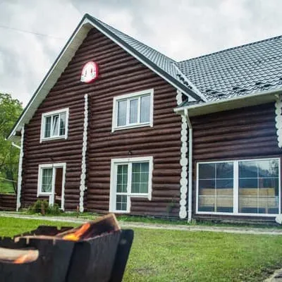 HotelGreenwoodSlavske10 km from Mount MahuraHot tubSaunaBBQNearby: Mt Makivka 3.9 kmTomb of Prince Sviatoslav 9.1 km7 trailsfrom 1 520 UAH per night
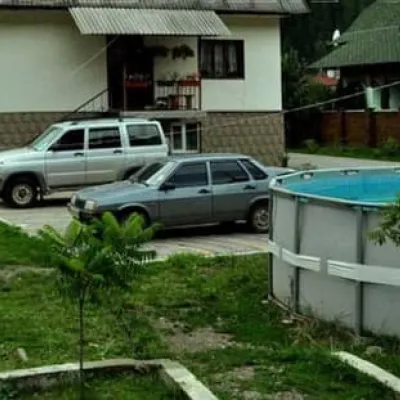 HotelU pani LiliSlavske11 km from Mount MahuraPoolSaunaBBQNearby: Mt Trostian 5.5 kmMt Vysokyi Verkh 8.2 km7 trailsfrom 590 UAH per night
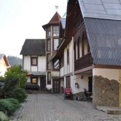 HotelAnasolSlavske11 km from Mount MahuraPoolSaunaBBQNearby: Mt Trostian 5.5 kmMt Vysokyi Verkh 8.1 km6 trailsfrom 3 950 UAH per night
Trails via Mount Mahura
All 1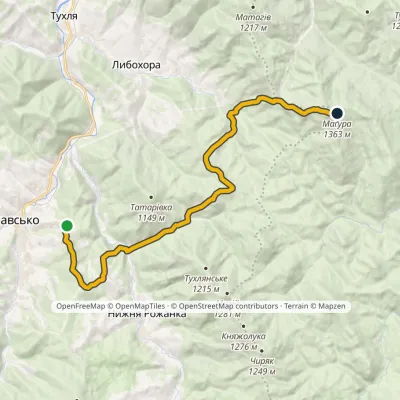
Nearby attractions
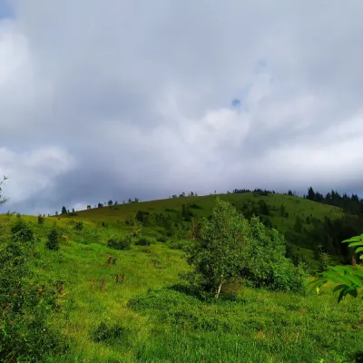 PeakMount YavorinaIvano-Frankivskaltitude 1 131 m8.4 km from Mount MahuraMount Yavorina is located near the village of Lypa in the Dolyna district of Ivano-Frankivsk region, with a height of 1131 meters.
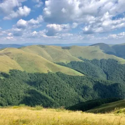 Mountain meadowPolonyna ShchavnaNovyi Mizunaltitude 1 173 m10 km from Mount MahuraPolonyna Shchavna is located at an altitude of 1173 meters above sea level and is situated in Ivano-Frankivsk region, near the Skole Beskydy reserve and the town of...
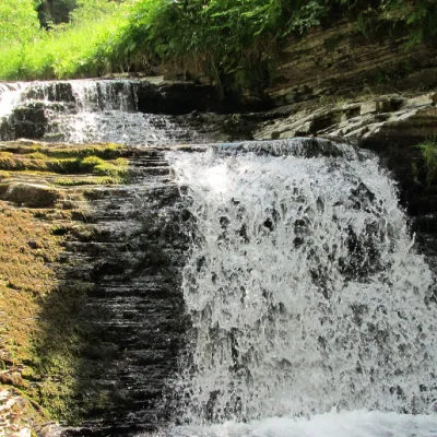 WaterfallSukil WaterfallsSkole Beskids12 km from Mount Mahuraheight 8 m597 m above sea levelNear the village of Sukil in the Bohorodchany urban hromada, the Sukil Waterfalls are truly a paradise for tourists and guests.
Craft nearby
All craft places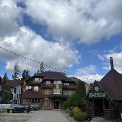 Koliby & Hutsul cuisineKoliba “Smerekova Khata”, SlavskeSlavske11 km from Mount MahuraKolyba “Smerekova Khata” is the ethno-restaurant of the hotel complex of the same name at the entrance to Slavske, one of the best-known mountain resorts of the Boyko...
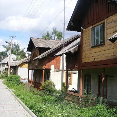 Ethno tours & guidesBarvy Karpat Excursions, SlavskeSlavske12 km from Mount MahuraBarvy Karpat («Colours of the Carpathians») is a small local excursion organiser based in Slavske, one of the best-known resorts of the Skole Beskids.
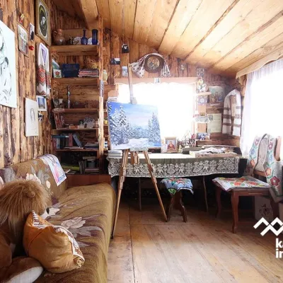 Crafts & workshopsViktoria Art Gallery, SlavskeSlavske12 km from Mount MahuraThe Viktoria Art Gallery in Slavske is a small family gallery and studio where art lives not behind glass but in the homely atmosphere of a wooden house.
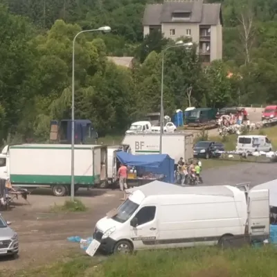 Markets & fairsFriday Market, SlavskeSlavske12 km from Mount MahuraThe Friday market in Slavske is a real mountain bazaar of the Boyko region, where sellers and shoppers from the surrounding villages of the Skole Beskids gather every...
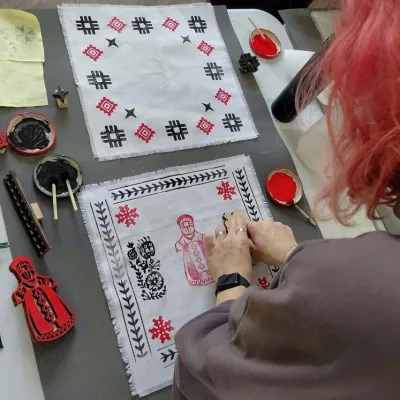 Crafts & workshopsBoyko Woodblock Fabric Printing Workshop, SlavskeSlavske12 km from Mount MahuraThe Boyko woodblock fabric printing workshop is run by craftswoman Natalia Horbonos-Akastiolova at the Centre of Boyko Culture in the Karpaty.Slavsko hotel.
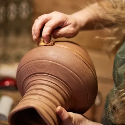 Crafts & workshops4 Seasons Pottery Studio and Horse Riding, SlavskeSlavske14 km from Mount MahuraThe 4 Seasons cottage complex in Slavske is known not only for its wooden chalets but also for two activities that turn an ordinary mountain break into something...
