Silver fir
About
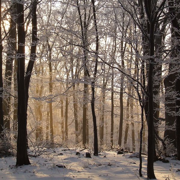
Silver fir, together with beech and spruce, forms the Carpathian mountain forest. In Ukraine, it mainly grows in the Carpathians, while in the plains of the southwest, it occurs only in isolated patches. It is one of the main mountain forest-forming species: silver fir forms both pure fir forests and mixed ones with beech, spruce, and other trees.
In general, silver fir grows at altitudes of 300–1700 m, mostly above 500 m, and where precipitation exceeds 1000 mm per year. In the Carpathians, fir-beech-spruce forests naturally covered the lower mountain belt up to about 1100–1250 m. The largest timber reserves, over 1200 cubic meters per hectare, have been measured specifically in the fir forests of Gorgany.
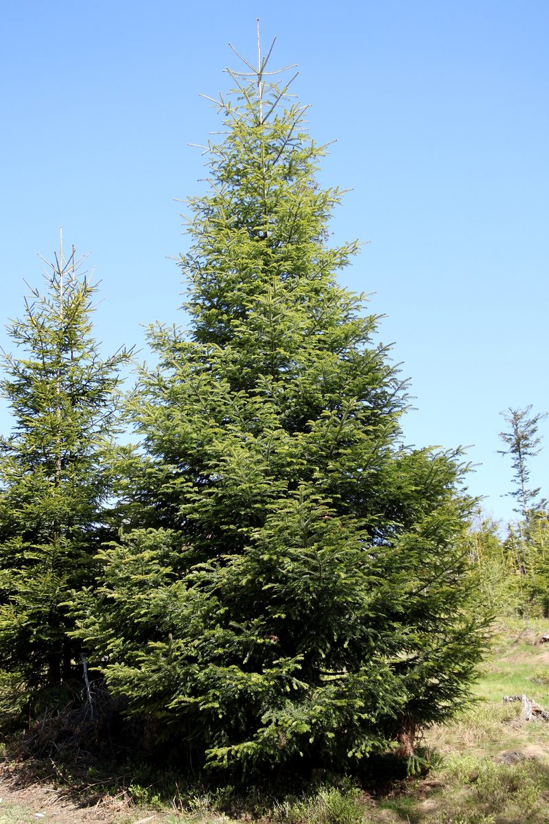
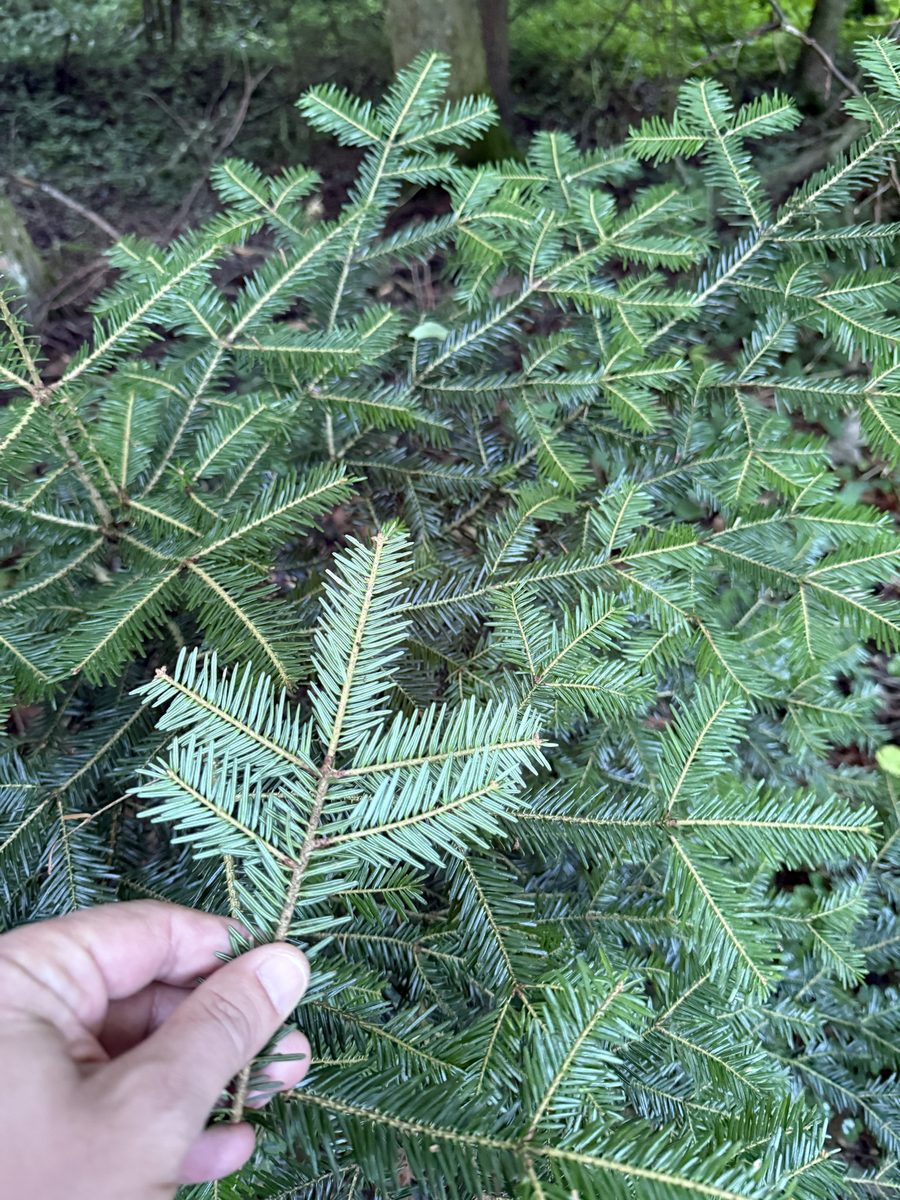
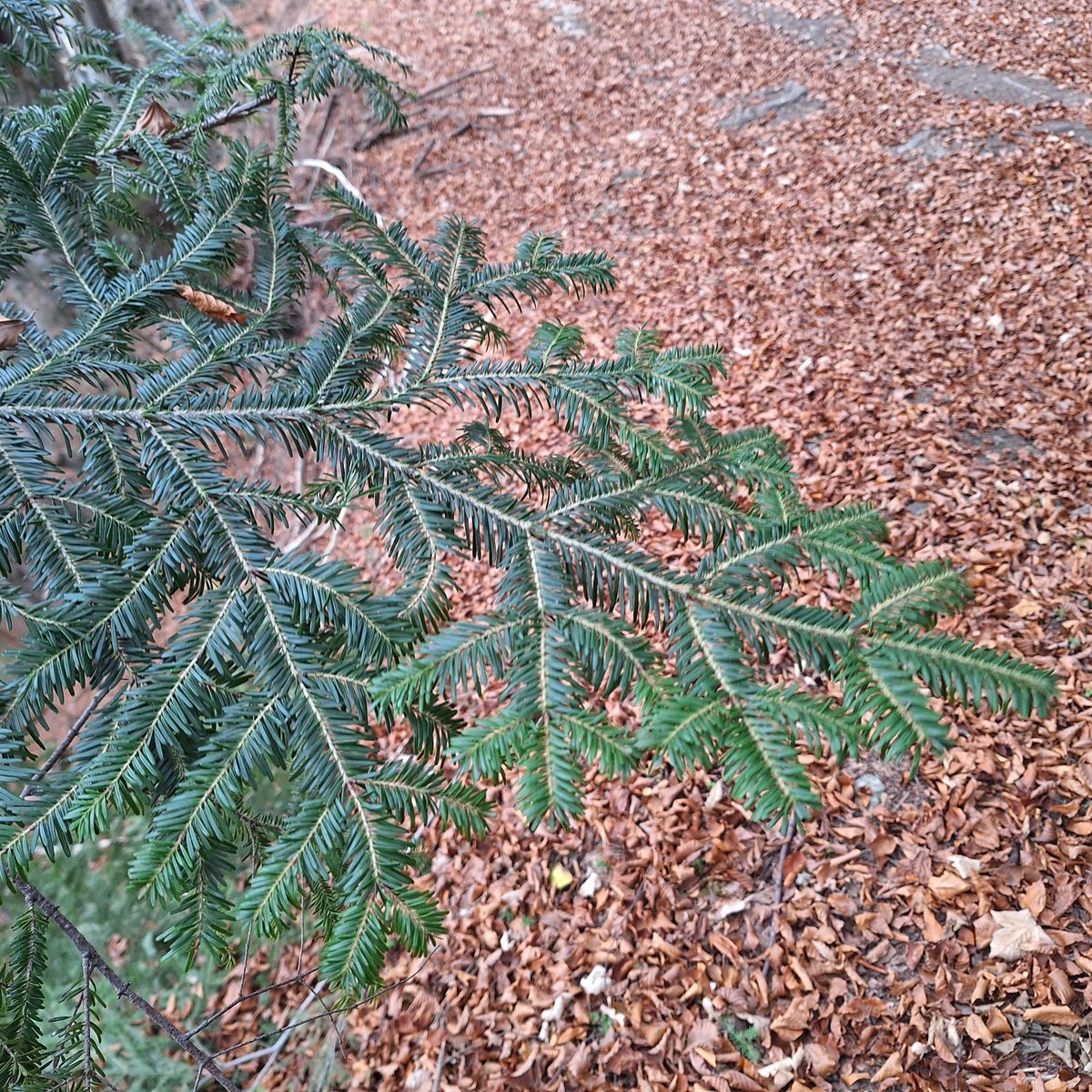
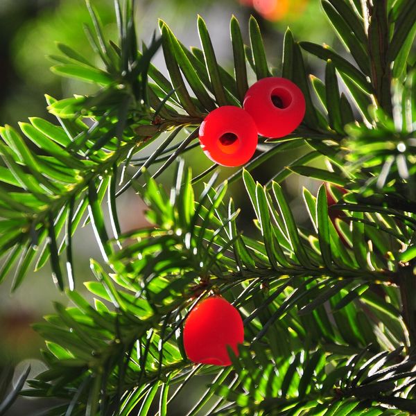
The tree reaches a height of 25–40 m, occasionally up to 60 m, with a narrow conical crown and smooth dark gray bark. Silver fir can be most easily distinguished from spruce by its needles: they are flat, blunt, 2–3 cm long, and have two white stripes on the underside; the needles are arranged on the twig in two rows, like the teeth of a comb. The needles remain on the branches for 3–5 years. Silver fir is pollinated by wind in May: small oval male cones, 5–8 mm long, sit at the top of last year's shoots, while female cones are lower down. The cones, 10–15 cm long, stand upright on the branches and, when mature, disintegrate right on the tree, so whole fir cones are almost never found on the ground—only the cores remain on the branches. The seeds are 6–8 mm long, with a long wing, and have a balsamic scent. The thickest silver fir in Poland was measured in the Bieszczady: its trunk had a circumference of 527 cm at a height of 42 m.
Silver fir is shade-tolerant and demanding of moisture in the soil and air. In Lemkivshchyna, it is called "yelyche," and in some places in the Carpathians, it is referred to as white spruce. Rare silver fir communities are included in the Green Book of Ukraine; they are protected, in particular, in the Carpathian Biosphere Reserve and the Carpathian National Nature Park.
Silver fir is not listed in the Red Book of Ukraine.
Where in the Carpathians

The map shows where naturalists recorded the species (GBIF, CC0 and CC BY records), not every place it lives. The Ukrainian Carpathians are less studied, so a blank area does not mean the species is absent.
- Countries
- Slovakia · Czechia · Poland · Ukraine · Romania · Hungary
- Mountain ranges
- Slovak Ore Mountains, Greater Fatra, Volovec Mountains, Moravian-Silesian Beskids, Strážov Mountains, Lesser Fatra, Low Tatras, Western Tatras, Belianske Tatras, Żywiec Beskids
- Altitude belts
- Foothills (below 600 m) · Beech forests (600–1200 m)
When to see it
| Jan | Feb | Mar | Apr | May | Jun | Jul | Aug | Sep | Oct | Nov | Dec | |
|---|---|---|---|---|---|---|---|---|---|---|---|---|
| Sightings |
From naturalists’ observations in the Carpathians (iNaturalist, research grade): the darker the cell, the more often the species is seen that month.
Protection and rules
Not listed in the Red Book of Ukraine; rare silver fir communities are in the Green Book of Ukraine.
FAQ
How to distinguish silver fir from spruce?
In silver fir, the needles are flat and blunt, with two white stripes on the underside, arranged in two rows; the cones stand upright and disintegrate on the tree. In spruce, the needles are sharp and four-sided, and the cones hang down and fall whole.
Where do silver fir forests grow in the Carpathians?
In the lower mountain belt, most often together with beech and spruce. Especially high and dense silver fir forests are known in Gorgany.
Similar species
Where to meet it
Trails
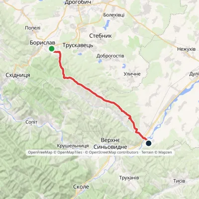 HardTwo-dayMarkedNo. 506 Boryslav RozghircheElevation profile347–808 m30.2 kmascent 557 m≈ 8.5 h walking
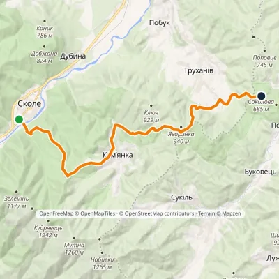 HardTwo-dayMarkedNo. 501 Skole Dovbush RocksElevation profile437–921 m20.4 kmascent 987 m≈ 7 h walking
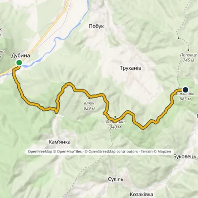 ModerateTwo-dayMarkedNo. 500 Dubyna Dovbush Rocksvia Mount KliuchElevation profile418–929 m18.7 kmascent 778 m≈ 6 h walking
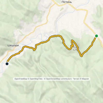 EasyOne-dayMarkedSt Nicholas Estate Malyi Huk Waterfall (Sheshory)Elevation profile407–620 m7.2 kmascent 241 m≈ 2.5 h walking
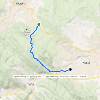 EasyOne-dayMarkedSt Nicholas Estate Huk Kosivskyi WaterfallElevation profile368–637 m6.9 kmascent 209 m≈ 2 h walking
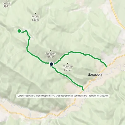 EasyOne-dayMarkedNature trail «To Lake Lebedyn»Elevation profile414–706 m9.2 kmascent 265 m≈ 3 h walking
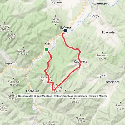 HardMulti-daySkole to Dubyna villagevia Mount Lopata, Kamianka WaterfallElevation profile418–1 211 m25.7 kmascent 986 m≈ 8.5 h walking
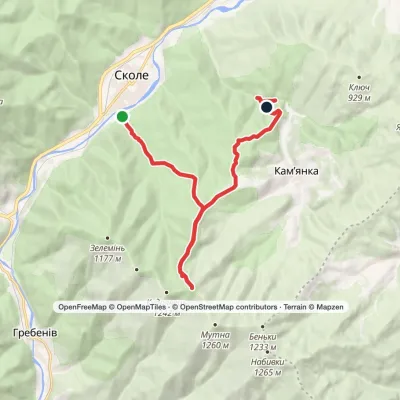 ModerateTwo-daySkole to Kamianka Waterfallvia Mount LopataElevation profile447–1 211 m18 kmascent 823 m≈ 6 h walking
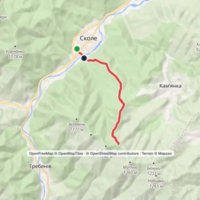 ModerateTwo-dayMarkedSkole loopvia Mount LopataElevation profile437–1 211 m15.2 kmascent 771 m≈ 5.5 h walking
 ModerateTwo-dayMarkedSkole loopvia Mount LopataElevation profile437–1 211 m17.3 kmascent 766 m≈ 6 h walking
 ModerateTwo-dayHrebeniv village to Skolevia Kudriavets village, Lopata villageElevation profile437–1 242 m16.9 kmascent 779 m≈ 6 h walking
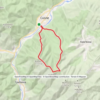 ModerateTwo-daySkole loopvia Mount LopataElevation profile437–1 242 m14.9 kmascent 972 m≈ 5.5 h walking
Peaks and meadows
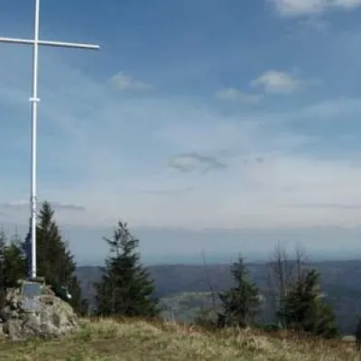 PeakMount LopataKorostivaltitude 1 211 m14 trails to the topThe mountain is located on the Zelemyanka ridge at a distance of 8 km south of the town of Skole.
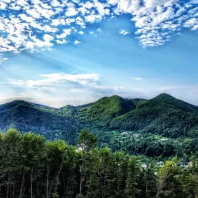 PeakMount Sopka (Stizhky, Zinyakov top).Kosivaltitude 620 m2 trails to the topStizhki (620 meters) offers a panoramic view of the city of Kosiv. The mountain is covered with forests - beech,...
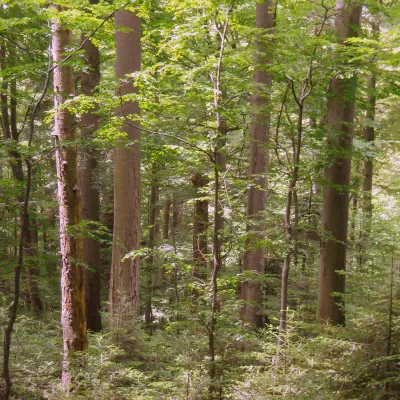 PeakMount KalnytsiaStuzhytsiaaltitude 1 004 mKalnytsia (Slovak: Kalnica) is a 1,004 m mountain on the state border between Ukraine and Slovakia, in the Bukovské...
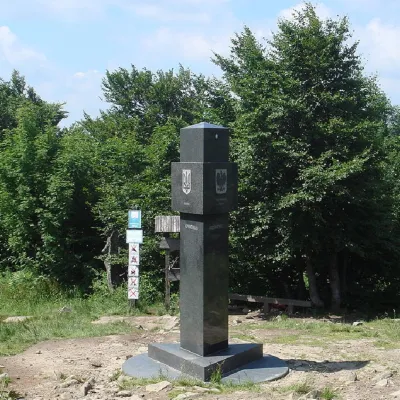 PeakMount KremenetsStuzhytsiaaltitude 1 221 m4 trails to the topKremenets (also known as Kreminets) is a mountain in the Ukrainian Carpathians, one of the highest peaks of the...
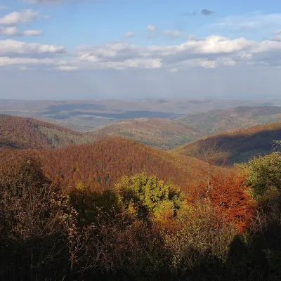 PeakMount Obroslyi VerkhSkolealtitude 1 177 m · Skole Beskids range1 trail to the topObroslyi Verkh is a 1,177 m summit in the south-eastern part of the Parashka ridge in the Skole Beskids (Lviv Oblast).
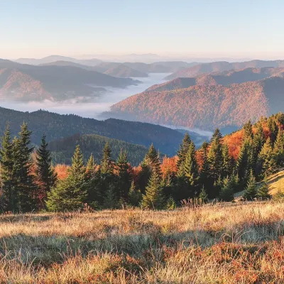 PeakMount ZelenaKorostivaltitude 1 217 m · Skole Beskids range1 trail to the topZelena is a 1,217 m summit on the Parashka ridge in the Skole Beskids, Lviv Oblast.
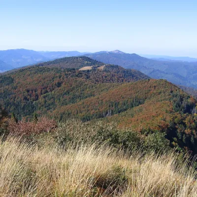 PeakMount KudriavetsHrebenivaltitude 1 242 m · Skole Beskids range1 trail to the topKudriavets is a 1,242 m summit on the Zelemianka ridge in the Skole Beskids, Lviv Oblast.
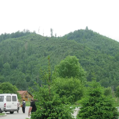 PeakMount ZeleminHrebenivaltitude 1 177 m · Skole Beskids range1 trail to the topZelemin is a 1,177 m summit in the north-western part of the Zelemianka ridge in the Skole Beskids (Lviv Oblast).
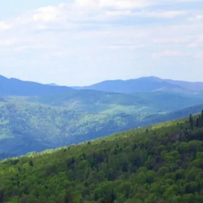 PeakMount KlyuchKamiankaaltitude 927 m · Skole Beskids range2 trails to the topMount Klyuch is one of the peaks of the ridge in the Skole Beskydy, which starts from the Sukel River (Bukivets...
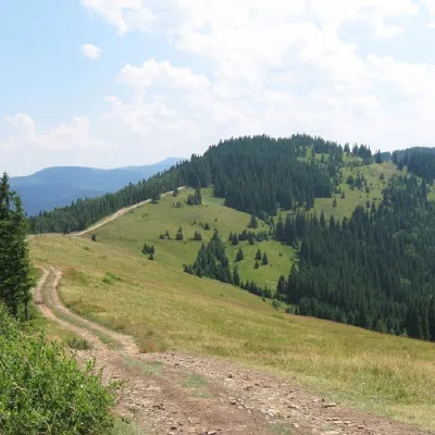 PeakMount LisnivTatarivaltitude 1 257 m · Pokuttia-Bukovyna Carpathians range16 trails to the topMount Lisniv is a 1257-meter peak of the Ukrainian Carpathians, which is located on the territory of the Pokutsko...
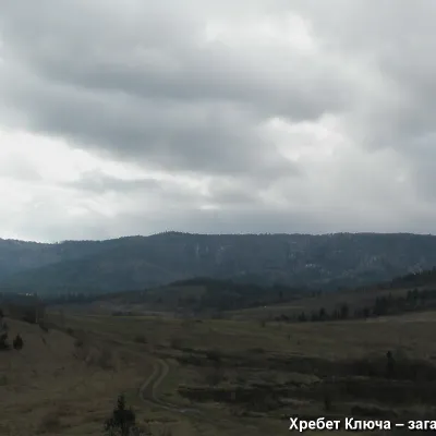 PeakMount YavorinkaTrukhanivaltitude 940 m3 trails to the topThe top of Mount Yavorinka is 940 meters above sea level. Mount Yavorinka is the highest peak of the Klyucha ridge,...
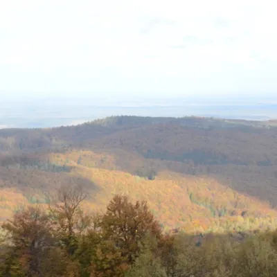 PeakMount BobovyshcheOrivaltitude 817 m4 trails to the topBobovyshche (also called Popivska) is an 817 m mountain in the Upper Dniester Beskids, Lviv Oblast.
Waters and waterfalls
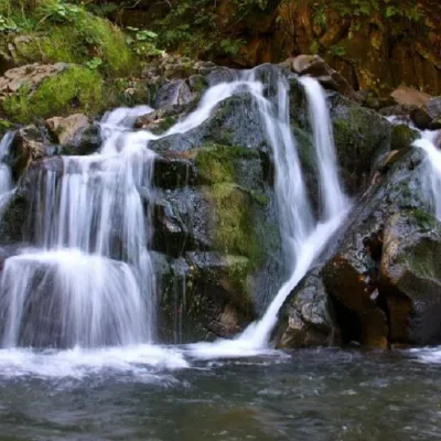 WaterfallKamianka waterfallDubyna"Kamianka Waterfall or Kamianka Waterfall is the most famous waterfall located on the mountain river of the same name...
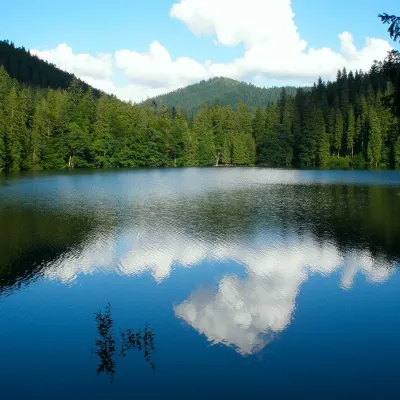 LakeSynevyr Lake Synevyrska PolyanaSynevyrska PolyanaLake Synevyr, located on the territory of the National Nature Park of the same name in Mizhhirya district of...
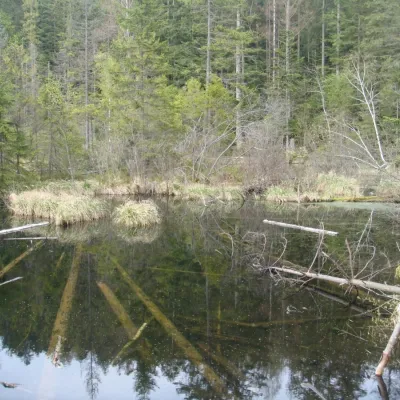 LakeLake Zhuravlyne (Dead Lake)KamiankaThere is one mysterious place in the Skole Beskydy National Nature Park - Zhuravlyne Lake, also called Dead Lake.
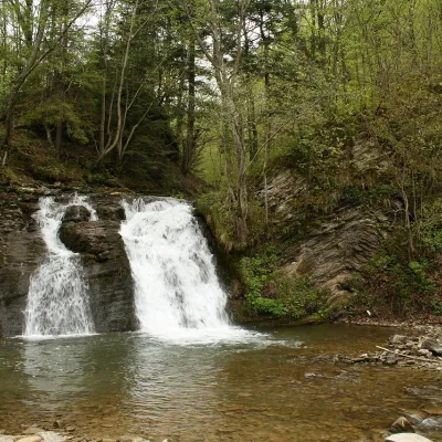 WaterfallGurkalo waterfallKorchynGurkal, located on the Velyka Richka River, has a very eloquent name! You can't argue with it, especially when the...
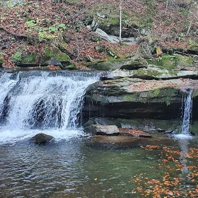 WaterfallKrushelnytskyi waterfallKrushelnytsiaThe real decoration of the mighty Carpathian Mountains is its numerous picturesque waterfalls.
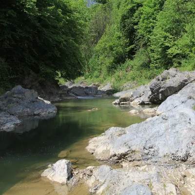 RiverPistynka RiverPistynThe Pistynka is a 56-km mountain tributary of the Prut. It rises on the eastern slopes of Mount Versalem in the...
Mountain ranges: In other countries: 🇸🇰 Slovak Ore Mountains, 🇸🇰 Greater Fatra, 🇸🇰 Volovec Mountains, 🇨🇿 Moravian-Silesian Beskids, 🇸🇰 Strážov Mountains, 🇸🇰 Lesser Fatra, 🇸🇰 Low Tatras, 🇸🇰 Western Tatras, 🇸🇰 Belianske Tatras, 🇵🇱 Żywiec Beskids, 🇵🇱 Pieniny, 🇸🇰 Štiavnica Mountains, 🇸🇰 Slovak Paradise, 🇸🇰 High Tatras
Trails and peaks near which naturalists recorded the species (GBIF, iNaturalist), matched by altitude and habitat. Sightings are not guaranteed.
Sources
- Вікіпедія: Ялиця біла
- Wikipedia (en): Abies alba
- Wikipedia (pl): Jodła pospolita
- Перелік видів рослин та грибів, що заносяться до Червоної книги України (наказ Міндовкілля від 15.02.2021 № 111, z0370-21)
- GBIF: Червона книга України — рослини й гриби (набір даних)
- GBIF: таксон і категорія МСОП
GBIF · iNaturalist · Wikidata · Distribution data: GBIF.org (CC0 and CC BY records), iNaturalist; names and identifiers: Wikidata (CC0). Text: Karpaty.rocks, checked 09.11.2026.
