Mount Kalnytsia
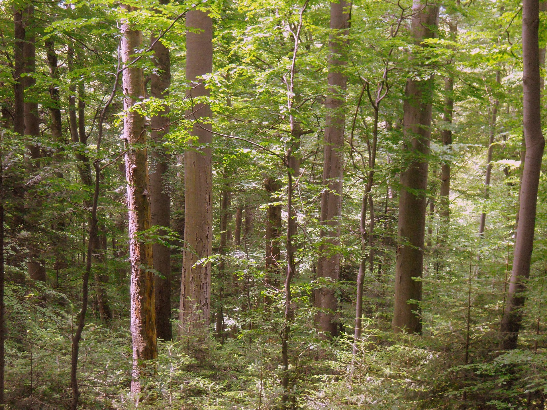
Kalnytsia (Slovak: Kalnica) is a 1,004 m mountain on the state border between Ukraine and Slovakia, in the Bukovské vrchy, part of the Bieszczady. It lies in the south-western part of the Kremenets massif (1,221 m), about 1.3–1.4 km from its summit, above the confluence of the Kamianytsia and Stuzhytska rivers. The nearest village in our catalogue is Stuzhytsia, about 7 km away.
Neighbouring summits: Kamenna (1,201 m) about 1.4 km to the north-west, Patskova Kychera (872 m) 1.5 km to the south-west and Velyka Ravka (1,304 m) 2.8 km to the north-east. Here the border separates Ukraine’s Uzhanskyi National Nature Park from Slovakia’s Poloniny National Park, and the slopes on both sides are protected by Stuzhytsia nature reserves.
How to get there
We do not have a waymarked route to Kalnytsia itself yet. The closest is the loop Stuzhytsia – Mount Kremenets – Stuzhytsia (17 km, about 1,060 m of ascent), which passes about 540 m from the summit. The routes Stuzhytsia – Mount Kremenets (8.4 km) and Stuzhytsia – Mount Kremenets (16.1 km) pass about 1.3 km away. From Kremenets an unmarked track runs along the state border to Kalnytsia.
Water, shelter and safety
There is no water at the summit: the nearest spring on our map is below Mount Kremenets, about 1.9 km to the north-east, at around 1,130 m (condition unknown). There is no shelter nearby, so carry water and gear. The mountain lies in the border zone and inside the national park: carry your passport, do not cross the border and follow the park rules. The nearest summit with our 7-day forecast is Parashka, about 63 km away: weather on Parashka. In an emergency call 112 or 101 — contacts of the nearest units are on our mountain rescue page.
Interesting facts
- The Stuzhytsia reserve dates back to 1908, when the Austro-Hungarian authorities began protecting the old-growth forests of the upper Uzh.
- More than 3,000 ha of the park’s beech–fir–sycamore old-growth forests were added to the UNESCO World Heritage List in 2007.
- Near Kremenets and Velyka Ravka, at 1,200–1,280 m, an intact upper tree line survives, with crooked, sabre-bent beeches.
Photos: Lichinga, CC BY-SA 4.0 — Wikimedia Commons.
Location on the map
Comments
Places to stay nearby
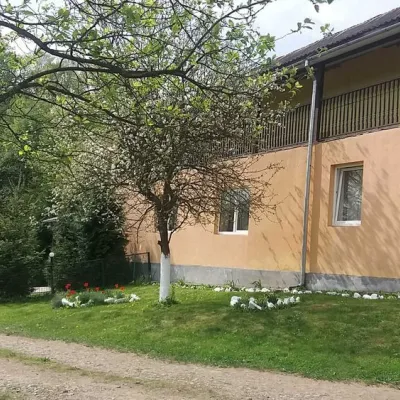 HomesteadHomestead "Ulich"18 km from Mount KalnytsiaPoolSaunaNearby: Mt Judah Top 6.6 kmMt Yavirnyk 8.1 km4 trails
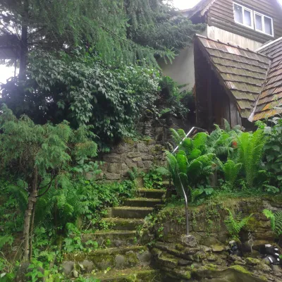 HomesteadHomestead "U Dyadi Vani" Vyshka19 km from Mount KalnytsiaPoolSaunaBBQ
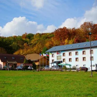 HotelHotel Complex "Klub Visson"15 km from Mount KalnytsiaPoolSaunaSPANearby: Mt Yavirnyk 5.1 kmMt Judah Top 4.2 km15 trails
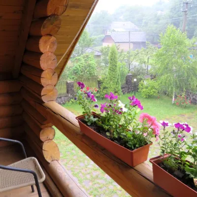 HotelMini-Hotel "Verkhovynskyi Dvir" Kostryna15 km from Mount KalnytsiaSaunaBBQKitchenNearby: Mt Yavirnyk 5.6 kmMt Judah Top 5.4 km12 trails
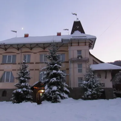 HotelHotel "Perlyna Krasyi" Vyshka17 km from Mount KalnytsiaSaunaParkingWi‑FiNearby: Mt Yavirnyk 9.7 km1 trail
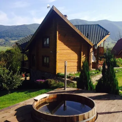 HomesteadHomestead "Ertash" Vyshka18 km from Mount KalnytsiaPoolSaunaBreakfastNearby: Mt Yavirnyk 9.8 km1 trail
Trails nearby
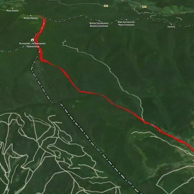 ModerateTwo-dayUnmarkedStuzhytsia village loopvia Mount KremenetsElevation profile420–1 287 m17 kmascent 1 062 m≈ 6.5 h walkingunder 1 km from Mount Kalnytsia
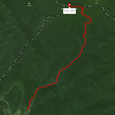 ModerateOne-dayUnmarkedStuzhytsia village Mount KremenetsElevation profile446–1 213 m8.4 kmascent 844 m≈ 4 h walking1.5 km from Mount Kalnytsia
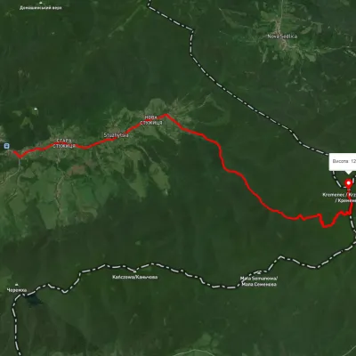 ModerateTwo-dayUnmarkedStuzhytsia village Mount KremenetsElevation profile384–1 251 m16.1 kmascent 1 114 m≈ 6.5 h walking1.5 km from Mount Kalnytsia
Nearby attractions
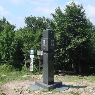 PeakMount Kremenetsaltitude 1 221 m1.3 km from Mount Kalnytsia3 trails to the topKremenets (also known as Kreminets) is a mountain in the Ukrainian Carpathians, one of the highest peaks of the Bukivski Verkhy (Bukovinian Hills).
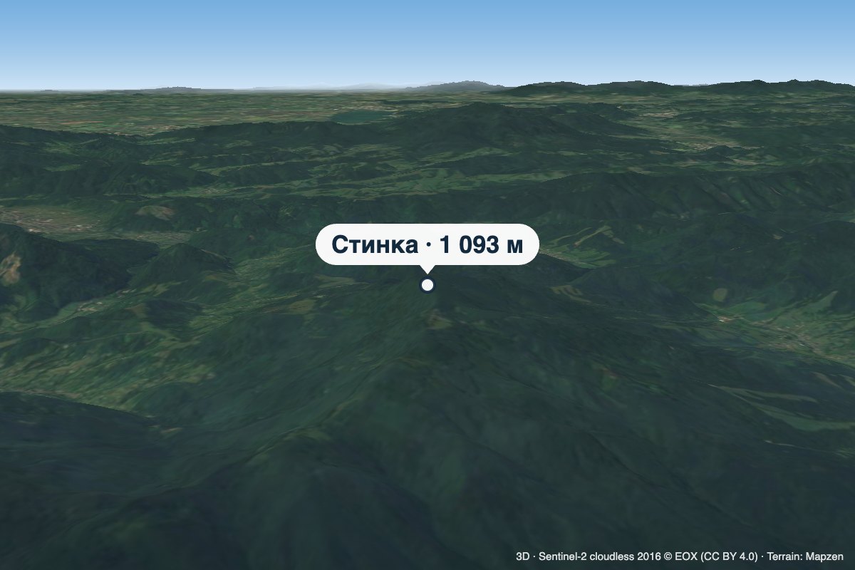 PeakMount Stynkaaltitude 1 093 m9.1 km from Mount KalnytsiaStynka (Slovak: Stinská) is a 1,093 m mountain on the state border between Ukraine and Slovakia, in the Bukovské vrchy, part of the Bieszczady.
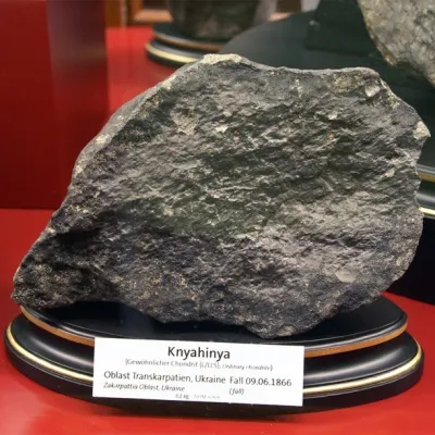 ArchaeologyTranscarpathian meteorite "Knyahynya"12 km from Mount KalnytsiaKnyahynya is a stone meteorite (chondrite, group LL5) weighing over 500 kilograms. It is the largest meteorite found in Europe in recent history.