Nature trail «To Lake Lebedyn»
Trail map
Route, springs and shelters: © OpenStreetMap contributors (ODbL) · elevation: Copernicus DEM © DLR e.V., © Airbus DS · Data & licences
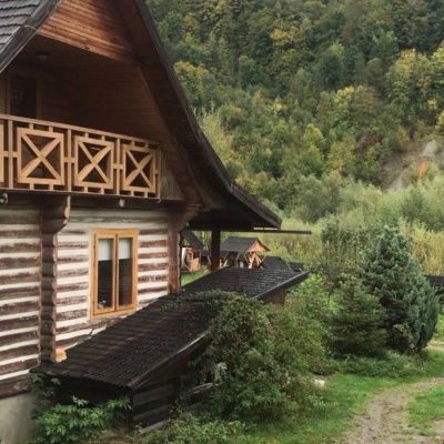
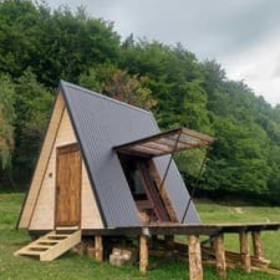
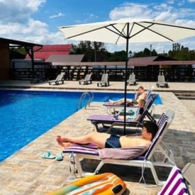
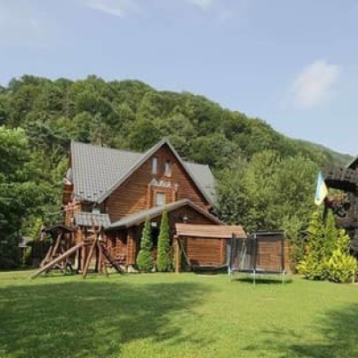
Where to stay nearby




About the trail
Route Nature trail «To Lake Lebedyn». Has green marking (local route). Waymarking data: OpenStreetMap (© OpenStreetMap contributors, ODbL).
Officially marked local tourist route. The marking is green, the sign is a horizontal stripe on a white background. Marked and maintained by: National Nature Park "Hutsulshchyna". The length of the route is 9.2 km. Location: mountain range — Pokutsk-Bukovynian Carpathians, Ivano-Frankivsk region.
Attention: part of the route is not yet mapped in OpenStreetMap, so the line on the map has gaps. On the ground, orient yourself by the marking signs.
At a glance
A short route of 9.2 km with 265 m of ascent. Estimated walking time: about 2.5 h, not counting stops. Difficulty: easy. Waymarking: green.
Route stages
- 0–1 kmGentle ups and downs at 640–700 m
- 1–2.5 kmDescent of 130 m (down to 567 m)
- 2.5–3.5 kmGentle ups and downs at 560–610 m
- 3.5–4.5 kmDescent of 160 m to Arkan Restaurant
- 4.5–9 kmGentle ups and downs at 420–560 m
Steepest kilometre: km 3.5–4.5, a descent of 140 m (≈16%).
Water and overnight stays
Our map shows no springs near the trail — bring your own water (at least 1.5 l).
Places to stay near the start and finish: Sheshory.
When to go
The route can be walked most of the year; it is most comfortable from April to October.
Getting there
Most places to stay near the start are in Sheshory. This is a one-way route: the finish is 2 km from the start in a straight line, so plan your way back in advance.
FAQ
- How long does the route take?
- Estimated walking time: about 2.5 h, not counting stops.
- Is there water on the route?
- Our map shows no springs near the trail — bring your own water (at least 1.5 l).
- Where can I stay overnight?
- Places to stay near the start and finish: Sheshory.
Before you go, check the border-regime restrictions: Border Guard permit for mountain hikes (in Ukrainian)
Comments
Trails nearby
All trails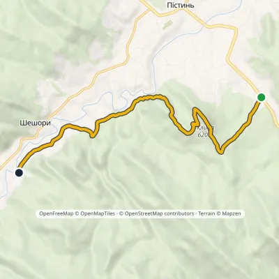 EasyOne-dayMarkedSt Nicholas Estate Malyi Huk Waterfall (Sheshory)Elevation profile407–620 m7.2 kmascent 241 m≈ 2.5 h walking
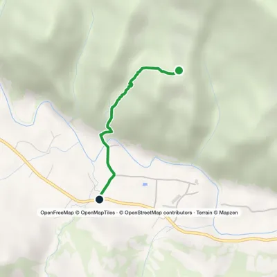 EasyOne-dayMarkedSheshory RosokhataElevation profile466–685 m1.6 kmascent 19 m≈ 30 min walking
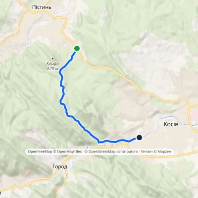 EasyOne-dayMarkedSt Nicholas Estate Huk Kosivskyi WaterfallElevation profile368–637 m6.9 kmascent 209 m≈ 2 h walking
Craft nearby
All craft places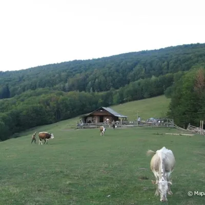 Mountain meadowPolonyna Rosokhata (Sheshory)Sheshoryaltitude 860 m3.3 km from the trailWhy is the meadow called "Rosokhata"? The two parts of the field that form the branches look like dewdrops.
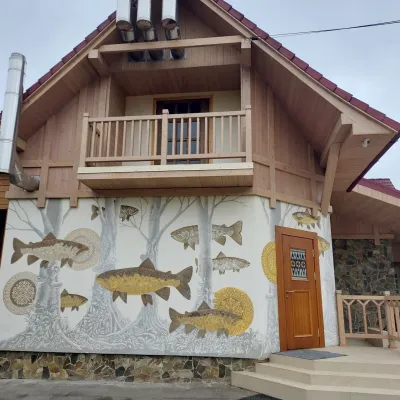 Koliby & Hutsul cuisineArkan Restaurant, SheshorySheshory4.7 km from the trailThe Arkan restaurant in Sheshory is one of the best-known places for Hutsul food in the Kosiv area. It sits right in the centre of the village on a ledge above the...
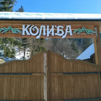 Koliby & Hutsul cuisineKolyba Restaurant, SokolivkaSokolivka10 km from the trailKolyba Restaurant in Sokolivka is a genuine Hutsul koliba by the main Kosiv–Verkhovyna road, above the mountain river Rybnytsia.
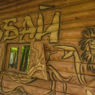 Koliby & Hutsul cuisineBabai Restaurant, YavorivYavoriv10 km from the trailBabai Restaurant is one of the best-known roadside eateries of the Hutsul region. It stands in the village of Yavoriv (Ryvni hamlet), Kosiv district, right by the...
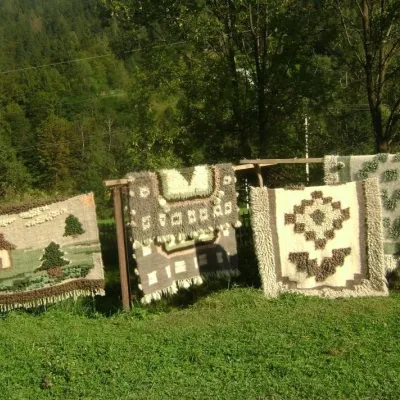 Crafts & workshopsHutsul Grazhda Folk Art Centre, YavorivYavoriv11 km from the trailThe village of Yavoriv near Kosiv is known as the capital of Hutsul lizhnyk weaving. Woollen blankets are woven in almost every other house here, and in summer...
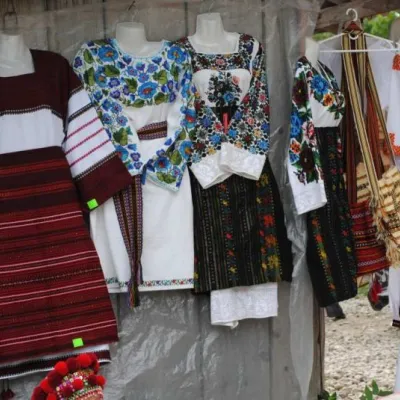 Markets & fairsKosiv Market (Smodnyansky Market), KosivKosiv12 km from the trailKosiv (Smodnyansky) Market in Ivano-Frankivsk region is a treasure trove of folk traditions, a corner of Hutsulshchyna that tourists and guests should definitely visit...
