European beech
About
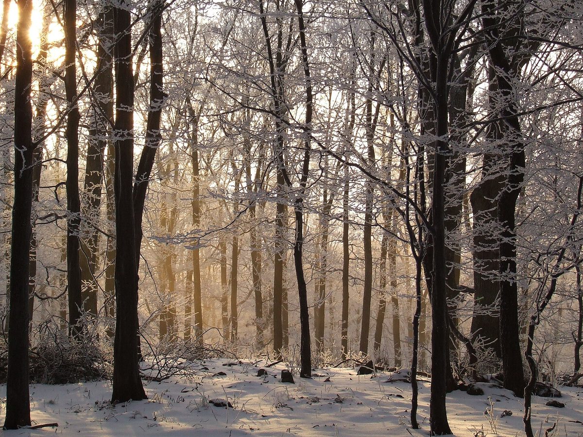
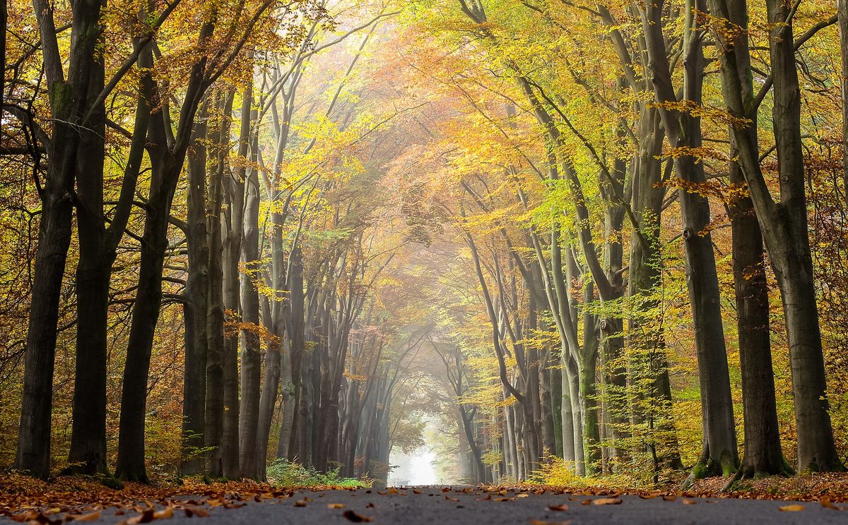
The European beech is the most important deciduous tree of the Ukrainian Carpathians. Beech forests, or bучини, cover the slopes from the foothills to a height of about 1400 m and protect the soil on the slopes from erosion and avalanches. In autumn, the bучини turn copper-golden, and in winter, they stand out among the spruces with their light gray trunks.
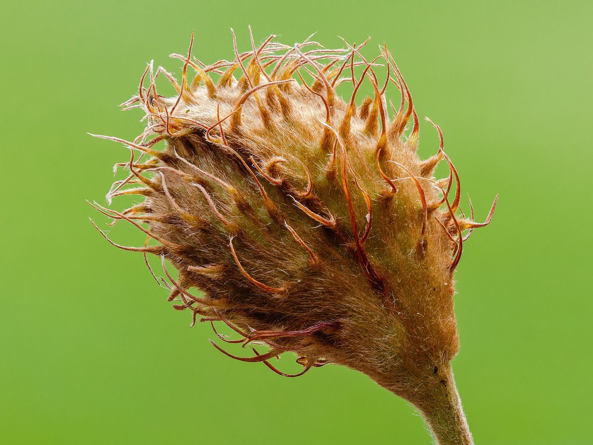
The tree reaches 30–40 m in height with a straight trunk and smooth light gray bark that does not crack even in old age. The leaves are elliptical, glossy, with a wavy edge and ciliate hairs along the edge when young. The buds are long, spindle-shaped, and sharp — these features make the European beech easy to recognize even in winter. The fruits are three-sided nuts, two in a spiny four-lobed husk. Years of abundant harvests, when a carpet of nuts lies under the beeches, do not occur every year.
There is little undergrowth in beech forests: the dense canopy allows very little light to pass through. Therefore, in spring, while the leaves have not yet unfolded, snowdrops, crocuses, bluebells, and other spring ephemeral plants manage to bloom under the beeches. Beech forests provide shelter for bears, deer, wild boars, woodpeckers, and owls, and many animals feed on beech nuts.
The Carpathian beech primeval forests are part of the UNESCO World Heritage site "Ancient and Primeval Beech Forests of the Carpathians and Other Regions of Europe." More than 70% of its territory at the time of inclusion in 2007 was located in Ukraine: these are the massifs of Chornohora, Svydovets, Marmarosy, Kuziy-Tribushany, Uholka — Shyrokyi Luh, and Stuzhytsia — Uzhok, which are protected in the Carpathian Biosphere Reserve and Uzhansky National Park.
Where in the Carpathians

The map shows where naturalists recorded the species (GBIF, CC0 and CC BY records), not every place it lives. The Ukrainian Carpathians are less studied, so a blank area does not mean the species is absent.
- Countries
- Slovakia · Czechia · Ukraine · Poland · Romania · Hungary · Serbia · Austria
- Mountain ranges
- Slovak Ore Mountains, Strážov Mountains, Moravian-Silesian Beskids, Greater Fatra, Lesser Fatra, White Carpathians, Volovec Mountains, Low Tatras, Štiavnica Mountains, Skole Beskids
- Altitude belts
- Foothills (below 600 m) · Beech forests (600–1200 m)
When to see it
| Jan | Feb | Mar | Apr | May | Jun | Jul | Aug | Sep | Oct | Nov | Dec | |
|---|---|---|---|---|---|---|---|---|---|---|---|---|
| Flowering | ||||||||||||
| Fruit |
From naturalists’ observations in the Carpathians (iNaturalist, research grade): the darker the cell, the more often the species is seen that month.
Protection and rules
Not protected as a species. Beech primeval forests of the Carpathians are protected as a UNESCO World Heritage site.
FAQ
Where in Ukraine are the UNESCO beech primeval forests?
In the Carpathian Biosphere Reserve (Chornohora, Svydovets, Marmarosy, Kuziy-Tribushany, Uholka — Shyrokyi Luh) and in Uzhansky National Park (Stuzhytsia — Uzhok).
To what height does the European beech grow in the Carpathians?
The European beech grows in the Carpathians at an altitude of approximately 250 to 1400 m above sea level.
Similar species
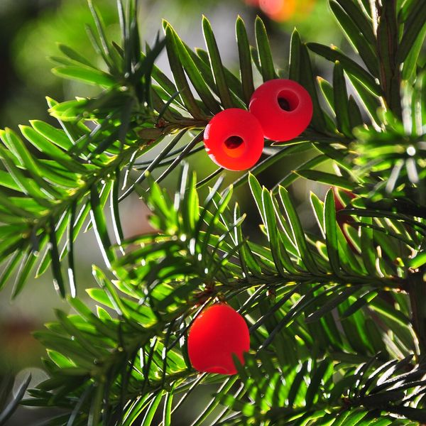
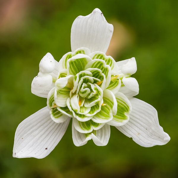
Where to meet it
Trails
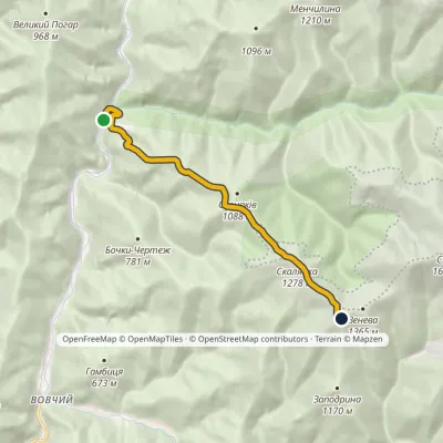 ModerateOne-dayMarkedOsa Mount StiyElevation profile366–1 343 m7.5 kmascent 984 m≈ 4 h walking
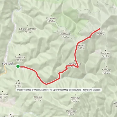 HardTwo-dayMarkedVovchyi village to Mount Stiyvia Mount ZenevaElevation profile321–1 671 m22.9 kmascent 1 350 m≈ 8.5 h walking
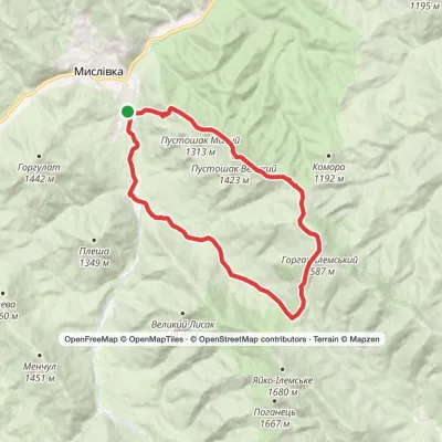 HardTwo-dayMarkedMyslivka village loopvia Mount Horhan-IlemskyiElevation profile663–1 587 m24 kmascent 1 188 m≈ 8.5 h walking
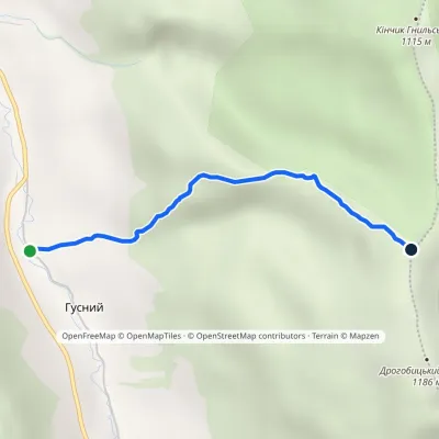 EasyOne-dayMarkedUzhok Drohobytskyi StoneElevation profile686–1 154 m2.3 kmascent 468 m≈ 1.5 h walking
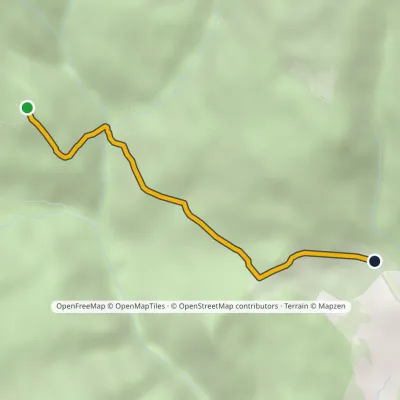 EasyOne-dayMarkedShesa polonyna Breska polonynaElevation profile871–1 028 m2.3 kmascent 33 m≈ 45 min walking
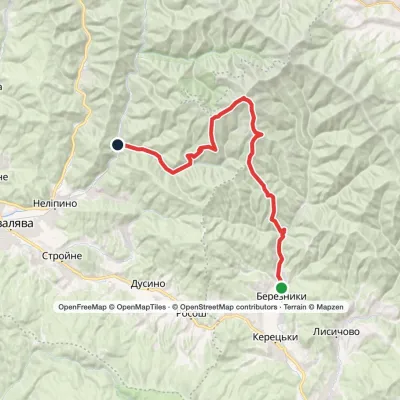 HardMulti-dayBerezniky village to Vovchyi villagevia Mount Ivolove, Mount Stiy +1Elevation profile288–1 681 m28.5 kmascent 1 436 m≈ 10 h walking
 HardTwo-dayKamianytsia village loopvia Antalovetska PolianaElevation profile172–968 m22.8 kmascent 933 m≈ 7.5 h walking
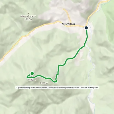 EasyOne-dayMarkedMyslivka GurgulatElevation profile656–1 442 m6.1 kmascent 7 m≈ 1.5 h walking
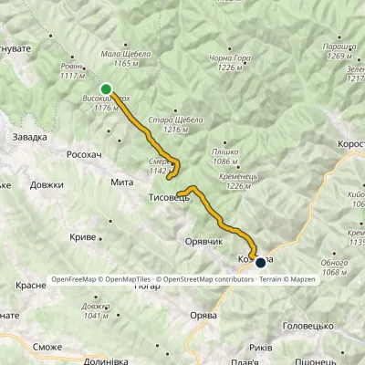 ModerateOne-dayMarkedNo. 505 Kozova village Rosokhatski polonynyvia TysovetsElevation profile608–1 177 m14.9 kmascent 329 m≈ 4.5 h walking
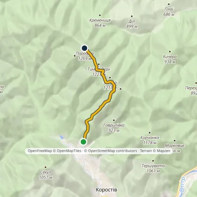 EasyOne-dayMarkedNo. 5044 Korostiv Monastery Mount ParashkaElevation profile653–1 268 m5.8 kmascent 671 m≈ 3 h walking
 HardMulti-dayKushnytsia village to Volovetsvia Kuk polonyna, Mount Shyrokyi Verkh +3Elevation profile228–1 574 m47.1 kmascent 2 740 m
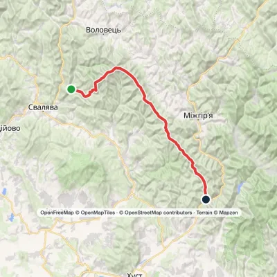 HardMulti-dayVovchyi village to Nyzhnii Bystryi villagevia Mount Stiy, Mount Zhyd-Mahura +4Elevation profile285–1 681 m60.7 kmascent 2 763 m
Peaks and meadows
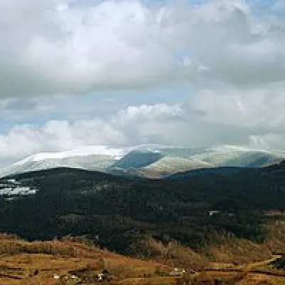 Mountain meadow1 189 mPolonyna-KukMizhhiriaVery beautiful scenery, there is a spring and places to spend the night with a tent down the road to Mount Cook.
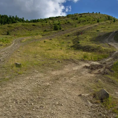 PeakMount KaminnaSopkyaltitude 1 127 m · Borzhava rangeKaminna (sometimes called Kamiana) is a 1,127 m summit in the south-eastern part of the Polonyna Borzhava massif in...
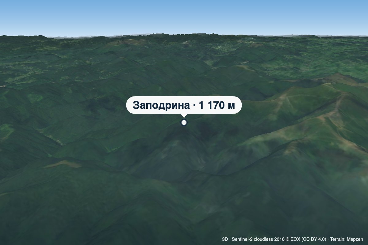 PeakMount ZapodrynaVovchyialtitude 1 170 m · Borzhava rangeZapodryna is a 1,170 m summit on the south-western spurs of the Polonyna Borzhava massif in Zakarpattia Oblast.
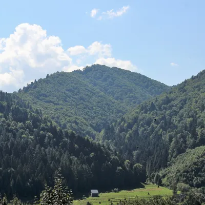 PeakMount of the Heroes of the Heavenly HundredRybnykaltitude 886 m · Skole Beskids rangeThe Mount of the Heroes of the Heavenly Hundred (locally Konova or Horb) is an 886 m summit (890 m according to other...
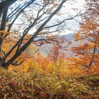 PeakMount Dil (Krushelnytsia)Krushelnytsiaaltitude 899 m · Skole Beskids rangeIt lies north-east of the Parashka ridge, about 2.6 km from Parashka itself (1,268 m), and rises above the village of...
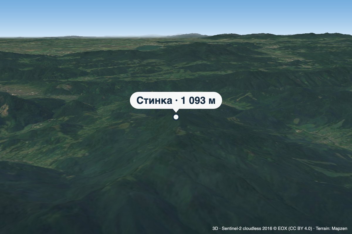 PeakMount StynkaKniahyniaaltitude 1 093 mStynka (Slovak: Stinská) is a 1,093 m mountain on the state border between Ukraine and Slovakia, in the Bukovské...
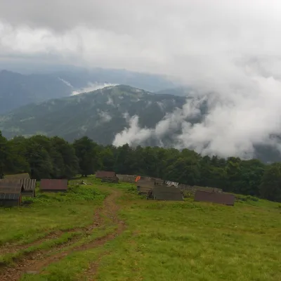 Mountain meadow1 350 mPolonyna BrailkaKvasyPolonyna Brailka (in some sources and on our site also Braivka) is a mountain pasture on the south-eastern slopes of...
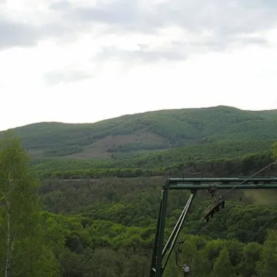 PeakMount BuzhoraOsiialtitude 1 085 m · Volcanic Carpathians range1 trail to the topMount Buzhora is the highest peak of the Volcanic Ridge of Ukrainian Carpathians.
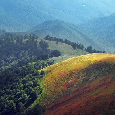 PeakMount Biletsky VerkhPodobovetsaltitude 1 146 m · Borzhava range1 trail to the topBiletsky Verkh is a mountain 1146 m above sea level on the Borzhava ridge.
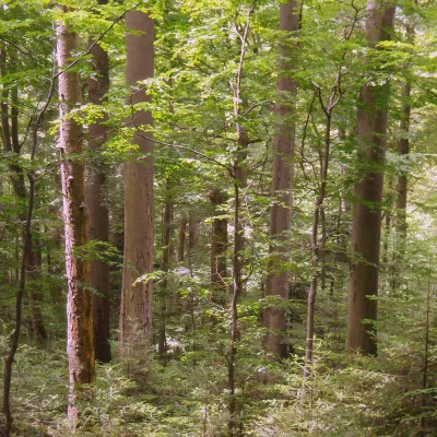 PeakMount KalnytsiaStuzhytsiaaltitude 1 004 mKalnytsia (Slovak: Kalnica) is a 1,004 m mountain on the state border between Ukraine and Slovakia, in the Bukovské...
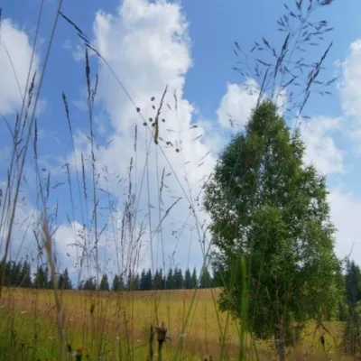 Mountain meadow1 184 mPolonyna ShuvarenkoNadvirna districtShuvarenko Polonyna is a high mountain meadow in the Ukrainian Carpathians, located in Ivano-Frankivsk region near...
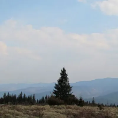 Mountain meadow1 200 mPolonyna ShchivkaYaremcheThe Shchivka meadow has a very good location. Its length is about 700 meters, it has a slight slope, which protects...
Waters and waterfalls
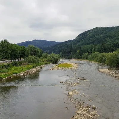 RiverOpir RiverSkoleThe Opir is a 58-km mountain river of the Skole Beskids. It rises on the eastern slope of Mount Velykyi Yavirnyk,...
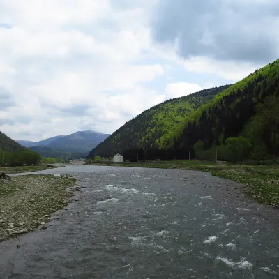 RiverTereblia RiverKolochavaThe Tereblia begins in the Inner Gorgany, where the Roztoka and Sloboda streams meet, and flows through Synevyrska...
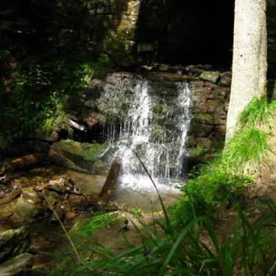 WaterfallLumshory waterfallsLumshoryLumshory waterfalls are a group of waterfalls in the Ukrainian Carpathians, a hydrological natural monument of local...
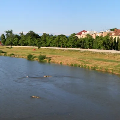 RiverLatorytsiaRoztokaLatorytsia River - Latorytsia and its surroundings are a popular destination for eco-tourism.
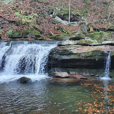 WaterfallKrushelnytskyi waterfallKrushelnytsiaThe real decoration of the mighty Carpathian Mountains is its numerous picturesque waterfalls.
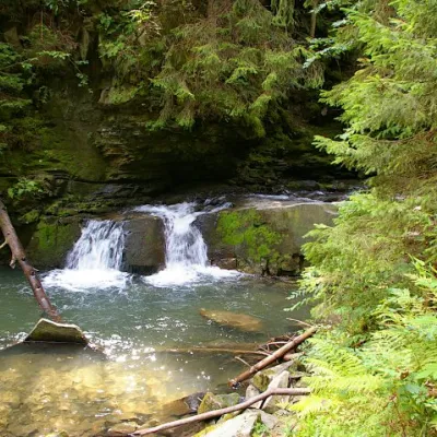 WaterfallWaterfall Maiden's Tears, YaremcheYaremcheMaiden's Tears is a waterfall in the Ukrainian Carpathians (Gorgany massif).
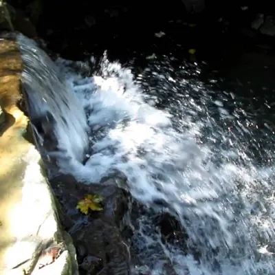 WaterfallBagrovetsky waterfallYaremcheBagrovetsky Waterfall is one of the most famous waterfalls in the Yaremche region, located in the city of Yaremche.
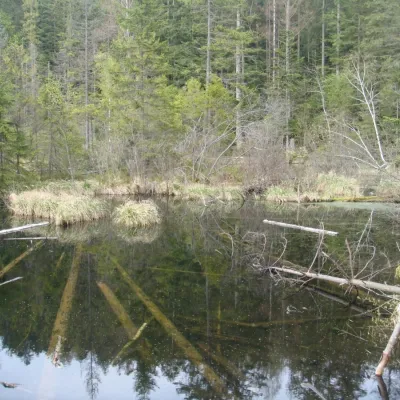 LakeLake Zhuravlyne (Dead Lake)KamiankaThere is one mysterious place in the Skole Beskydy National Nature Park - Zhuravlyne Lake, also called Dead Lake.
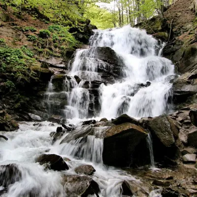 Waterfall"Shypit Waterfall" PylypetsPylypetsIn a cozy corner of the Carpathian Mountains, among the evergreen mountain forests and steep, sharp cliffs, lies the...
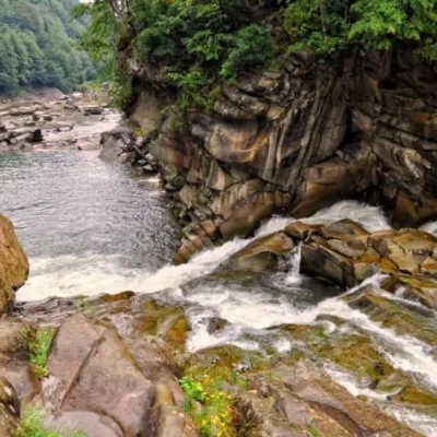 WaterfallProbiy waterfall, YaremcheYaremcheProbiy Waterfall is located in the heart of the Carpathian Mountains, in the city of Yaremche.
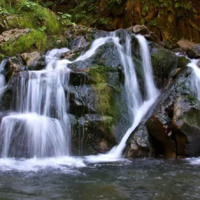 WaterfallKamianka waterfallDubyna"Kamianka Waterfall or Kamianka Waterfall is the most famous waterfall located on the mountain river of the same name...
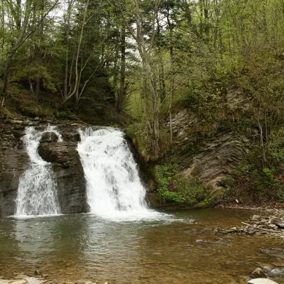 WaterfallGurkalo waterfallKorchynGurkal, located on the Velyka Richka River, has a very eloquent name! You can't argue with it, especially when the...
Mountain ranges: Skole Beskids, Bieszczady. In other countries: 🇸🇰 Slovak Ore Mountains, 🇸🇰 Strážov Mountains, 🇨🇿 Moravian-Silesian Beskids, 🇸🇰 Greater Fatra, 🇸🇰 Lesser Fatra, 🇨🇿 White Carpathians, 🇸🇰 Volovec Mountains, 🇸🇰 Low Tatras, 🇸🇰 Štiavnica Mountains, 🇸🇰 Slovak Central Mountains, 🇸🇰 Považský Inovec, 🇸🇰 Little Carpathians
Trails and peaks near which naturalists recorded the species (GBIF, iNaturalist), matched by altitude and habitat. Sightings are not guaranteed.
Sources
- Вікіпедія: Бук звичайний
- Wikipedia (en): Fagus sylvatica
- Wikipedia (en): Ancient and Primeval Beech Forests of the Carpathians and Other Regions of Europe
- Категорія IUCN (через GBIF Species API)
GBIF · iNaturalist · Wikidata · Distribution data: GBIF.org (CC0 and CC BY records), iNaturalist; names and identifiers: Wikidata (CC0). Text: Karpaty.rocks, checked 09.11.2026.
