Mount Zapodryna
Zapodryna is a 1,170 m summit on the south-western spurs of the Polonyna Borzhava massif in Zakarpattia Oblast. The highest mountain of Borzhava, Stii (1,681 m), lies about 3.5 km to the north-east. The nearest village is Vovchyi (about 4.9 km), where most of our routes past Zapodryna begin; further away are Hankovytsia (about 9.1 km) and Nelipyno (about 10 km).
Zapodryna stands south of the ridge that runs from Skalianka over Zeneva to Stii: Zeneva (1,365 m) rises about 1.7 km to the north and Skalianka (1,278 m) 2.7 km to the north. To the east, some 2.7–2.8 km away, you can see Kinska (1,255 m) and Ivolove (1,415 m), and to the south, 2.9 km away, Mahura (1,076 m).
How to get there
Eleven of our routes pass Zapodryna within 40–150 m of the summit, mostly climbs from Vovchyi to Stii. The closest, about 40 m from the top, is Vovchyi – Mount Stii – traverse of Mount Velykyi Verkh – along the Osa river – railway station (29.0 km, about 1,900 m of ascent). Other options:
- Vovchyi – Mount Stii – Mount Velykyi Verkh, 19.8 km, the shortest;
- Vovchyi – Mount Zeneva – Mount Stii, 22.9 km;
- Pylypets – Mount Hemba – Mount Stii – Vovchyi – Svaliava, 40.2 km, a crossing of the whole massif;
- Volovets – Mount Tsytska – Mount Temnatyk – Mount Plai – Mount Velykyi Verkh – Mount Stii – Vovchyi, 50.4 km.
Water, shelter and safety
Our map shows no water close to the summit itself. The nearest weather shelter is about 2 km to the south-west, at about 500 m; springs with drinking water are marked about 2.3 km to the north-east (below Stii, at about 1,260 m) and 2.4 km to the north (weak, about 1,150 m). So bring water from the village. The nearest summit with our forecast is very close: the weather on Mount Stii, about 3 km away. Thunderstorms are dangerous on the open slopes below Stii, and in fog it is easy to lose the path. In an emergency call 112 or 101 — contacts of the nearest units are on our mountain rescue page.
Comments
Travellers’ experience: reports, tips, questions.
No one has reported on this trail yet. Been here lately? Tell others what it is like now.
Water and shelter nearby
- Spring below Mount Stii2.3 km · Not verified · 1 257 m
- Spring (Vovchyi, 7)2.4 km · Weak flow · 1 154 m
Wildlife nearby
All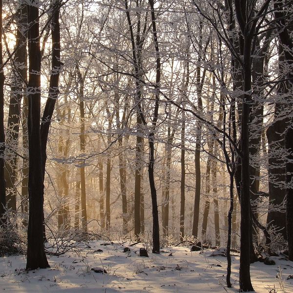
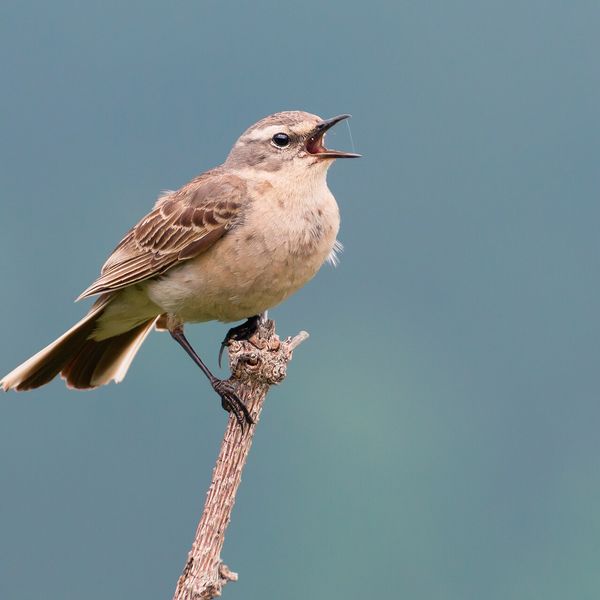
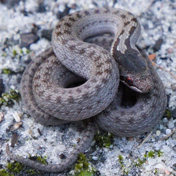
Based on naturalists’ records nearby (GBIF, iNaturalist), matched by altitude, habitat and season. Sightings are not guaranteed.
Places to stay nearby
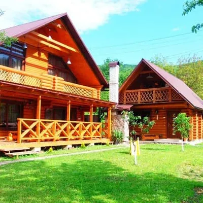
All stays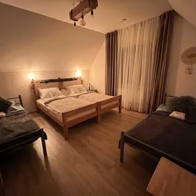 HotelForest HouseSvalyava7.3 km from Mount ZapodrynaHot tubSaunaBBQNearby: Mt Zapodryna 7.3 kmSt. Michael's Church 7.9 km9 trailsfrom 4 200 UAH per night
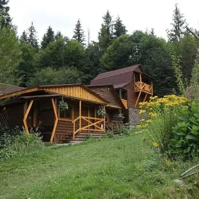
 HotelFamily GreenSvalyava8.6 km from Mount ZapodrynaSaunaBBQParkingNearby: St. Michael's Church 6.7 kmMt Zapodryna 8.6 km9 trailsfrom 3 080 UAH per night
 HotelZarynokPylypets11 km from Mount ZapodrynaBBQParkingWi‑FiNearby: Shypit Waterfall 600 mMt Gemba 3.0 km18 trailsfrom 2 200 UAH per night
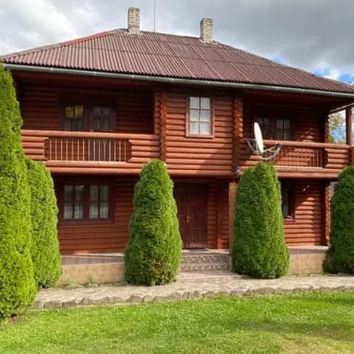
 CottageGray housePylypets11 km from Mount ZapodrynaBBQParkingWi‑FiNearby: Shypit Waterfall 800 mMt Gemba 3.0 km18 trailsfrom 4 950 UAH per night
 HotelShypitPylypets11 km from Mount ZapodrynaSaunaBBQParkingNearby: Shypit Waterfall 800 mMt Gemba 3.2 km18 trailsfrom 1 870 UAH per night
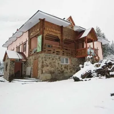 HotelHoryanynPylypets11 km from Mount ZapodrynaHot tubSaunaBBQNearby: Shypit Waterfall 900 mMt Gemba 3.1 km18 trailsfrom 1 060 UAH per night
Trails nearby
All trails Hard1–2 daysVovchyi village to the railway stationvia Mount Stiy, the Mount Velykyi Verkh traverse +1Elevation profile288–1 681 m29 kmascent 1 497 m≈ 9.5 h walkingunder 1 km from Mount Zapodryna
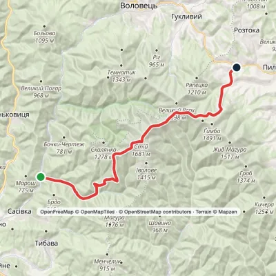 HardOne-dayVovchyi village to Podobovets villagevia Mount StiyElevation profile290–1 641 m25.5 kmascent 1 502 m≈ 9 h walkingunder 1 km from Mount Zapodryna
 Hard1–2 daysMarkedVolovets to Vovchyi villagevia Mount Velykyi Verkh, Mount StiyElevation profile288–1 681 m29.5 kmascent 1 399 m≈ 9.5 h walkingunder 1 km from Mount Zapodryna
Nearby attractions
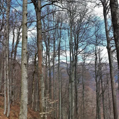 PeakMount KinskaVovchyialtitude 1 255 m · Borzhava range2.7 km from Mount ZapodrynaKinska is a 1,255 m summit in the Polonyna Borzhava massif in Zakarpattia Oblast. It stands on the spur that descends south from the highest summit of Borzhava, Stii ...
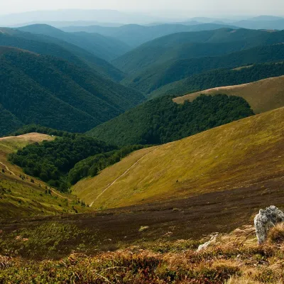 Mountain meadowPolonyna BorzhavaPylypetsaltitude 1 400 m7.7 km from Mount ZapodrynaPolonyna Borzhava is the longest polonyna massif in Zakarpattia and one of the best known in the Polonynskyi Ridge of the Ukrainian Carpathians.
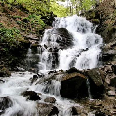 Waterfall"Shypit Waterfall" PylypetsBorzhava10 km from Mount Zapodrynaheight 14 m787 m above sea levelIn a cozy corner of the Carpathian Mountains, among the evergreen mountain forests and steep, sharp cliffs, lies the most full-flowing and beautiful waterfall in...
Craft nearby
All craft places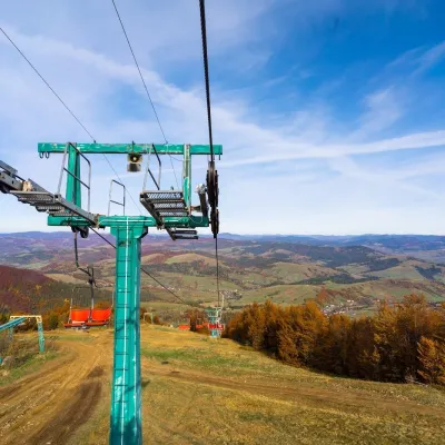 Adventures & attractionsPylypets Sky & Bike Park: chairlift and bike park, PylypetsPylypets11 km from Mount ZapodrynaPylypets Sky & Bike Park is a chairlift and bike park in the Zakarpattia village of Pylypets, one of the region’s best-loved ski resorts.
 Craft producersAleks mineral waters, SvaliavaSvalyava12 km from Mount ZapodrynaAleks is a Svaliava mineral-water producer founded in 1995. It was one of the first companies in Ukraine to bottle natural mineral waters in PET bottles, and today it...
 Cheese dairies & pasturesIZKI Highland Cheese Dairy, IzkyIzky14 km from Mount ZapodrynaThe IZKI cheese dairy is the culinary highlight of the eco-resort of the same name in the village of Izky, Zakarpattia.
 Craft producersMirella confectionery, SvaliavaSvalyava14 km from Mount ZapodrynaMirella is a café-patisserie in Svaliava founded by pastry chef Myroslava Holonych. It bakes signature cakes and pastries, traditional Transcarpathian baking, crackers...
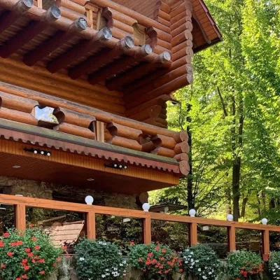 Koliby & Hutsul cuisineKoliba “Nad Potokom”, PolianaPolyana17 km from Mount ZapodrynaKoliba nad Potokom (“Kolyba above the Stream”) is a wooden kolyba restaurant in the spa village of Poliana near Svaliava in Zakarpattia, on Dyskovetska Street, which...
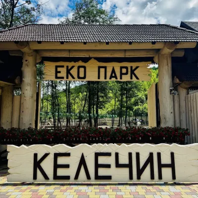 Wildlife parks & animal farmsKelechyn Eco Park, KelechynKelechyn18 km from Mount ZapodrynaKelechyn Eco Park is a small petting park in the village of Kelechyn in Zakarpattia, on the road from Mizhhiria towards Volovets.
