Polonyna Borzhava
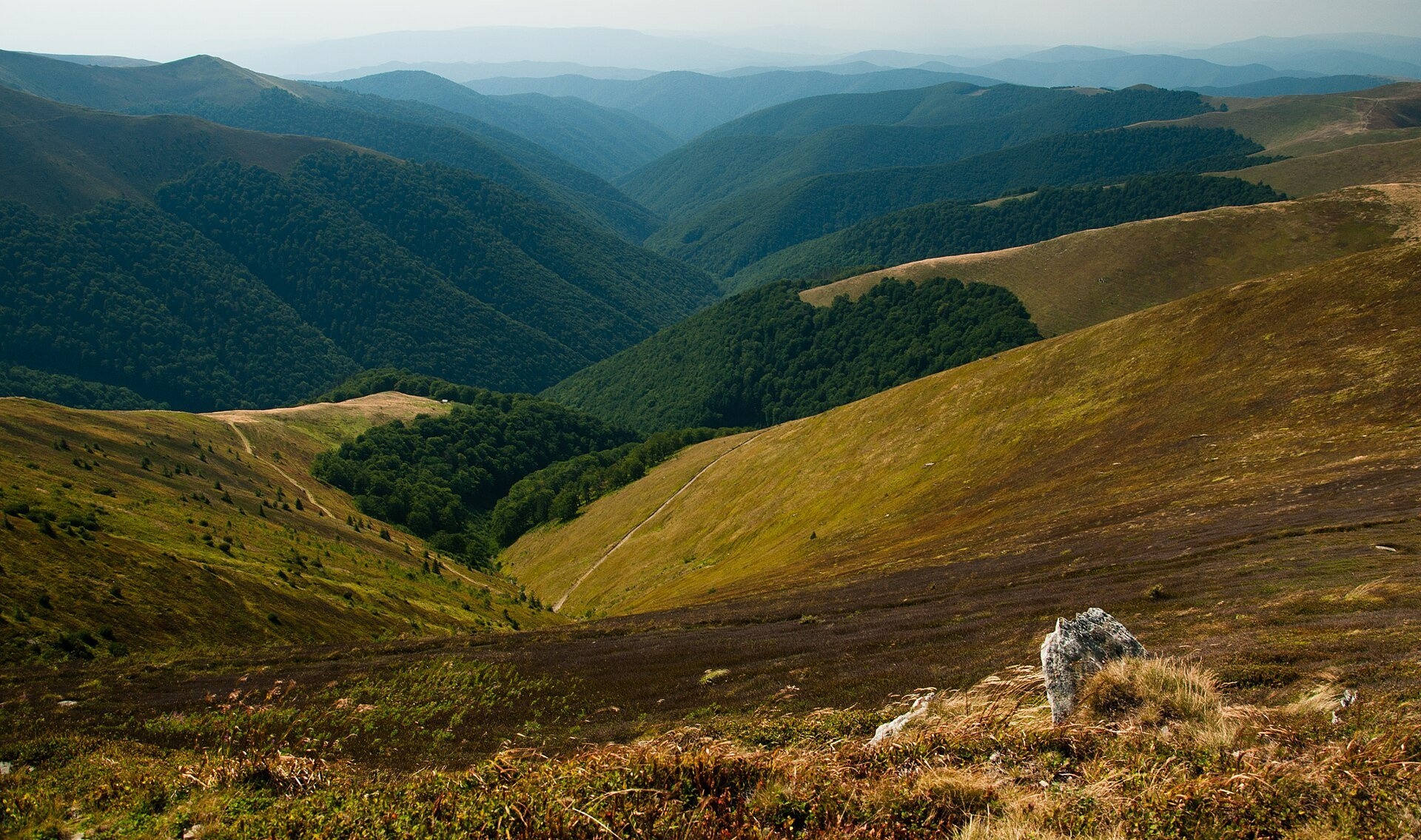
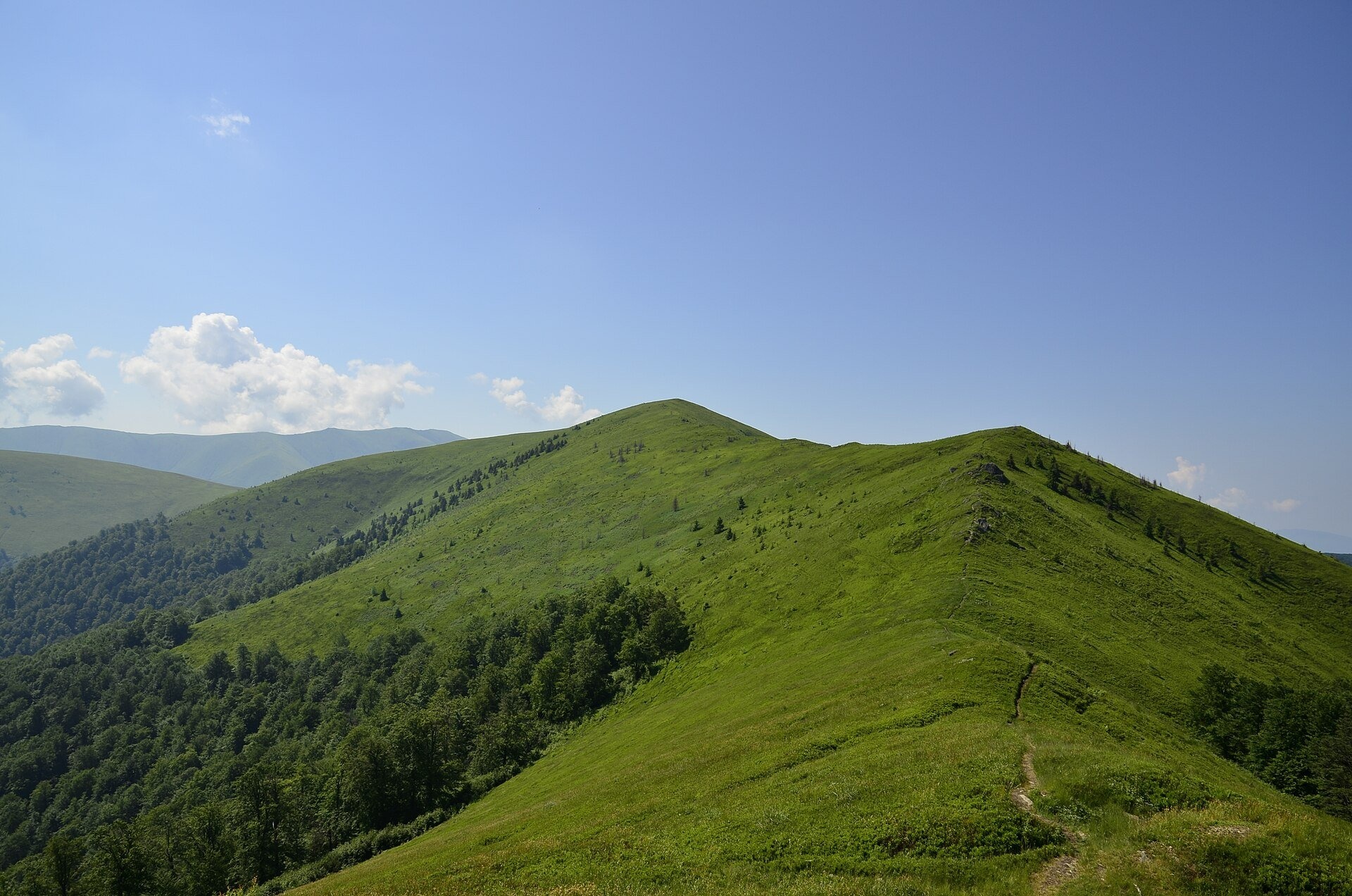
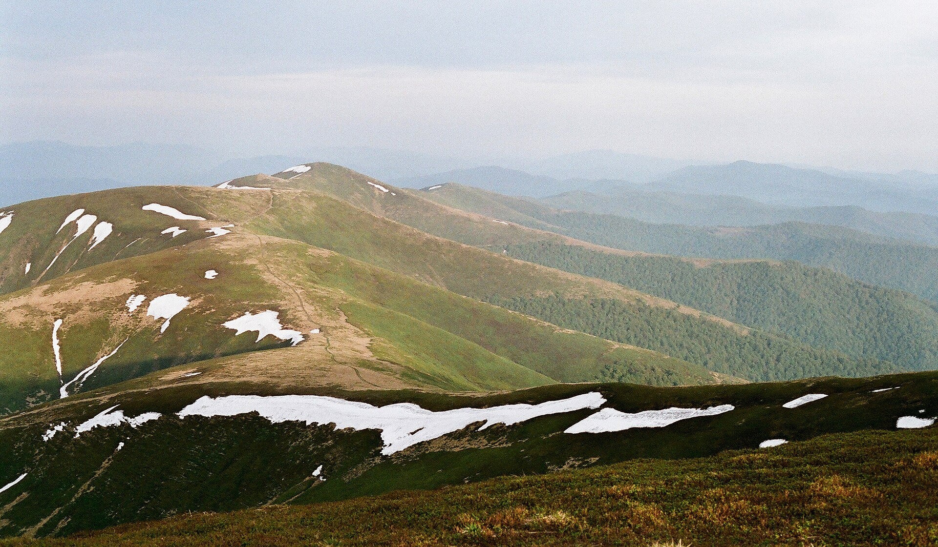
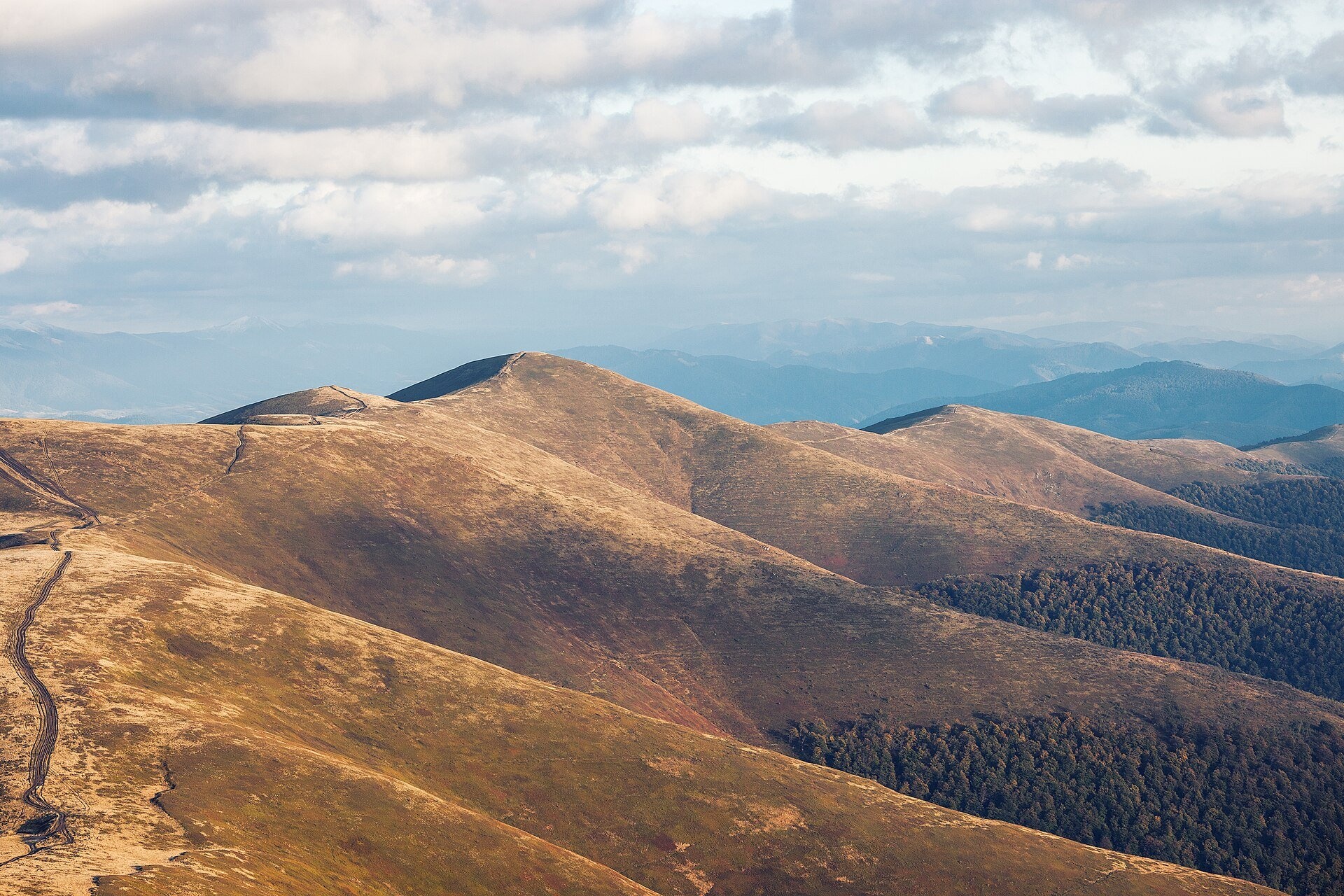
Polonyna Borzhava is the longest polonyna massif in Zakarpattia and one of the best known in the Polonynskyi Ridge of the Ukrainian Carpathians. The ridge runs for about 50 km between the valleys of the Latorytsia and the Rika, within the Mukachevo and Khust districts of Zakarpattia Oblast. The massif is on average 3–4 km wide, in places up to 10 km. Its central hub is Velykyi Verkh (1,598 m), where the ridges meet, while the highest summit is Stii (1,681 m) on a side spur.
The forest ends as low as 900–1,200 m, so above it stretch open grassy ridges with gentle southern and steep northern slopes. People come here for wide panoramas, bilberries in August, easy day walks from Pylypets and Volovets and a multi-day traverse over all the summits of Borzhava. The railway to Volovets and the year-round chairlift in Pylypets make Borzhava one of the most accessible polonynas in the Carpathians.
What you will see
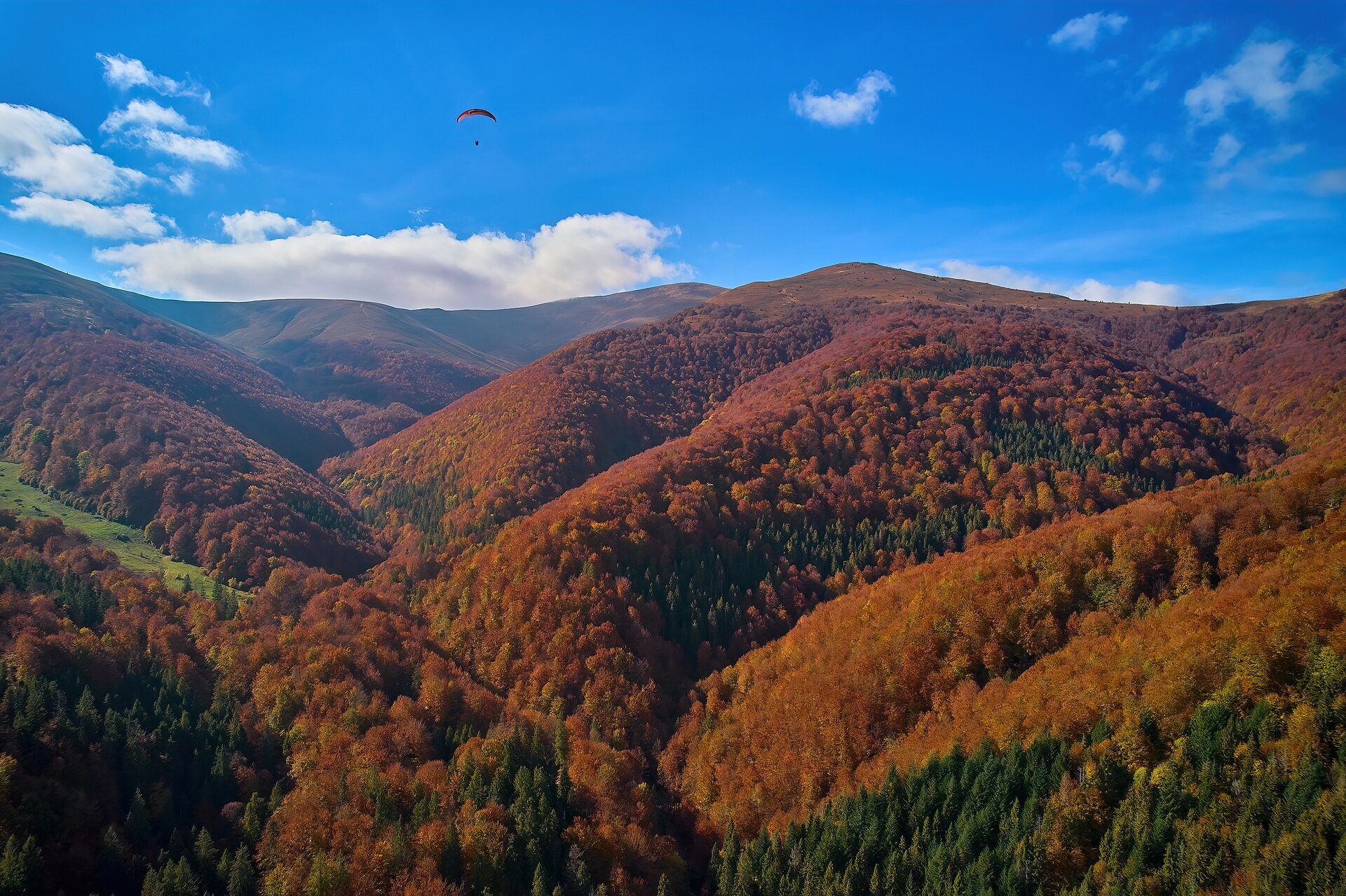
Borzhava is a chain of green, rolling summits: Temnatyk, Plai with its weather station, Velykyi Verkh, Riapetska, Hymba (Hemba), Zhyd-Mahura and Hrab. From the tops you see the whole arc of the ridge, the valleys around Mizhhiria and Volovets to the north-east and the foothills around Irshava and Svaliava to the south-west. The ridges are covered with mat-grass and red fescue meadows, large areas are carpeted with bilberry and lingonberry, and lower down, in the beech forest, grow raspberries, blackberries and mushrooms. In August the polonyna is coloured by fireweed and bellflowers; in autumn the slopes turn russet and gold. On the flat top of Stii you can still see the foundations of a former Soviet radar station that operated until the mid-1990s.
Shepherds, huts and cheese
Borzhava's pastures have been grazed for centuries, and according to Polish Wikipedia sheep are still grazed here; local historians say a sheepfold kept by a farmer from Hukłyvyi survives on Plai. In summer you may meet flocks with sheepdogs on the ridge, and OpenStreetMap shows shepherds' huts between Velykyi Verkh and Hymba. Whether a particular fold is working this season and sells brynza cannot be known in advance, so rely on your own supplies. It is safer to buy cheese in the valley: the IZKI highland cheese dairy works in the village of Izky below Borzhava. If you meet shepherds, greet them first and ask whether you may buy cheese — it is their work, not a shop.
History and legends
In the early 20th century, under economist Edmund Egan's "Highland Action", farms and a dairy were built on the pastures of Plai; locals call its ruins the "Old Cheese Dairy". In Czechoslovak times a tourist hut of the Club of Czechoslovak Tourists stood below Plai, and the weather station on Plai is still working: in 1969–1970 Viacheslav Chornovil worked here as an observer, as a memorial sign from 2007 reminds visitors. According to local historians, in winter 1915 World War I battles were fought for Plai, Temnatyk and Velykyi Verkh, and remains of fortifications survive on Plai. Legend has it that there was once a pagan sanctuary on the top of Stii. In recent years Borzhava has also been known for the dispute over a planned wind farm on the ridge, opposed by environmentalists (the SAVE Borzhava campaign).
Routes
- Pylypets — Riapetska — Velykyi Verkh (white-and-green marking): about 3 km and over 600 m of ascent to Riapetska, then roughly 3 km and 400 m more to Velykyi Verkh. The forest path is slippery and stony after rain. A loop via Hymba back to Pylypets is about 16 km with 1,000 m of ascent: Pylypets — Hemba — Velykyi Verkh — Pylypets.
- Pylypets — Hymba (blue marking) is the easiest option: take the chairlift to the top station, then walk about 2.5 km to the summit. On foot the whole way takes 2–3 hours.
- Volovets — Tsytsia — Temnatyk — Plai — Volovets: a loop of about 17 km and 850 m of ascent, up on red and down on yellow marking. The continuation over Velykyi Verkh and Stii is Volovets — Vovchyi.
- Pylypets — Velykyi Verkh — Stii: about 16 km and 5 hours one way. Stii lies on a side ridge, so it is visited as an out-and-back from Velykyi Verkh (1–1.5 hours).
- "Over the Summits of Borzhava" — the red Transcarpathian Tourist Trail from Volovets over Velykyi Verkh, Hymba, Zhyd-Mahura and Hrab to Mizhhiria, 3–5 days. The second half of the ridge is lower, more wooded and much quieter: Volovets — Mizhhiria.
For those who do not do long hikes, the easiest option is the chairlift from Pylypets and an unhurried walk along the ridge to Hymba.
Getting there
The most convenient way is by train to Volovets station on the Lviv — Mukachevo line (with trains from Kyiv and other cities) or to the Skotarske stop. Pylypets is about 15–16 km from Volovets by road over the pass — take a taxi or a local bus. From the south the ridge is reached from Mizhhiria and Izky. In Pylypets there are hotels and cafés near the lift.
When to go and weather
The hiking season runs from May to October. Spring and autumn are the calmest: fewer people, fresh green or russet slopes. In summer the open ridge is hot, Hymba is crowded at weekends, and in August bilberry pickers walk the ridge. Borzhava lies further south than most massifs, so the climate is milder, but the wind on the ridges can be very strong, thunderstorms build quickly and fog hides landmarks within minutes. In winter the ski runs in Pylypets are open, and the steep slopes between Hymba, Riapetska, Velykyi Verkh and Stii carry serious avalanche danger.
Water, shelters and overnight
There is little water on the ridge itself, so carry at least 1.5–2 litres. There are springs on the slopes below Velykyi Verkh, for example a spring at about 1,240 m or one higher up, at about 1,425 m; on the climb from Volovets to Plai you pass two springs. Lower on the slope stands a hut below Velykyi Verkh, and there are cafés by the top lift station. You can pitch a tent in the saddles of the main ridge, for example between Kychera and Kruhla or in the glade below Pryslip. Look for guesthouses and hotels in Pylypets, Podobovets, Volovets, Hukłyvyi, Izky and Mizhhiria.
Safety
- Walk around flocks, do not run and do not swing sticks at the dogs — call the shepherd.
- The ridge is open: in a thunderstorm get off the summits as fast as possible and do not shelter under lone trees.
- In fog keep to the watershed and the waymarks, carry an offline map, GPS and compass, and do not descend into unknown gullies.
- In winter avoid the avalanche slopes between Hymba, Velykyi Verkh and Stii — even experienced mountaineers have died here.
- Watch out for off-road vehicles and quad bikes on dirt roads.
- In an emergency call 112 or 101 (State Emergency Service, mountain search and rescue); ambulance — 103.
What visitors say
- Borzhava is often recommended as a first hike: the climbs are moderate and the views open up quickly, but after rain the forest paths are very slippery — trekking boots and poles help.
- The chairlift in Pylypets saves about two hours of climbing, but in season and at weekends there can be queues.
- In August you cannot walk fast — you keep stopping in the bilberry patches, and your lips and hands end up purple.
- The wind on Hymba can make it hard to stay on your feet, and a thunderstorm over the summits can gather within half an hour, so hikers advise starting early.
- At weekends Hymba is crowded and noisy with jeeps; those seeking quiet bypass the summit on a traverse path or head for the far, wooded part of the ridge towards Mizhhiria.
Polonynas and peaks around
- Velykyi Verkh (1,598 m) — the heart of the massif and its best viewpoint.
- Stii (1,681 m) — the highest summit of Borzhava with the remains of a radar.
- Hymba — the summit with the chairlift and paragliders.
- Polonyna-Kuk — the south-eastern continuation of the ridge above Mizhhiria.
- Shypit Waterfall — a cascade below the northern slopes near Pylypets.
- Polonyna Krasna — the neighbouring massif to the east, beyond the Rika and Tereblia valleys.
- Polonyna Rivna (Runa) — the western neighbour in the Polonynskyi Ridge.
Photos: Yuttary, CC BY-SA 4.0, Wikimedia Commons; Serhg47th, CC BY-SA 4.0, Wikimedia Commons; Ірина Грицюк, CC BY-SA 3.0, Wikimedia Commons; Ryzhkov Oleksandr, CC BY-SA 4.0, Wikimedia Commons; Khoroshkov, CC BY-SA 4.0, Wikimedia Commons.
Video 2
 Таємнича Боржава - похід водоспад Шипіт, Великий Верх, таємниці РЛС на горі Стій | Подорожі КарпатиЗона Гір

Location on the map
Water and shelter nearby
- Spring below Mount Velykyi Verkh (3)510 m · Not verified · 1 425 m
- Spring below Mount Velykyi Verkh (5)570 m · Not verified · 1 300 m
- Spring below Mount Velykyi Verkh890 m · Not verified · 1 217 m
- Spring below Mount Velykyi Verkh (7)900 m · Not verified · 1 172 m
- Spring below Mount Velykyi Verkh (4)1 km · Not verified · 1 331 m
- Spring below Mount Velykyi Verkh (2)1.3 km · Not verified · 1 235 m
- Spring below Mount Velykyi Verkh (9)1.4 km · Not verified · 1 187 m
- Hut below Mount Velykyi Verkh1.5 km · Not verified · 1 074 m
- Spring below Mount Velykyi Verkh (8)1.6 km · Has water · 1 244 m
- Spring below Mount Velykyi Verkh (6)1.6 km · Not verified · 1 202 m
- Drinking water below Mount Velykyi Verkh1.6 km · Not verified · 1 236 m
- Spring below Mount Hemba (3)1.8 km · Not verified · 989 m
- Hut below Mount Hemba1.9 km · Not verified · 992 m
- Spring below Mount Hemba2 km · Not verified · 1 314 m
- Spring below Mount Biletskyi Verkh2.2 km · Not verified · 1 337 m
- Spring below Mount Stii (4)2.3 km · Not verified · 1 320 m
Comments
Places to stay nearby
All stays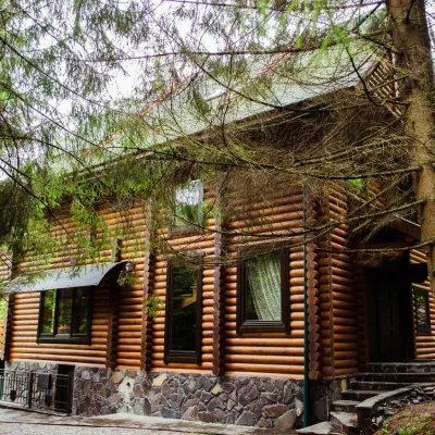 HomesteadHomestead "Pos Pylypets"Pylypets3.4 km from Polonyna BorzhavaKitchenWi‑FiPetsNearby: Shypit Waterfall 500 mMt Gemba 3.0 km17 trails
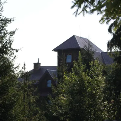 HotelHotel "Horyanyn" PylypetsPylypets3.8 km from Polonyna BorzhavaSaunaBBQParkingNearby: Shypit Waterfall 800 mMt Gemba 3.1 km17 trails
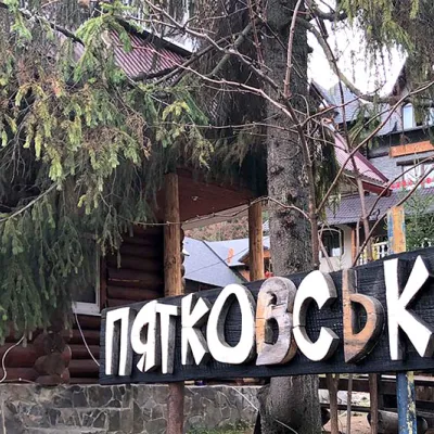 HotelHotel "Piatkovskyi" PylypetsPylypets3.9 km from Polonyna BorzhavaSaunaSPABBQNearby: Shypit Waterfall 1000 mMt Gemba 3.2 km17 trails
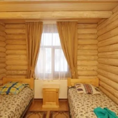 HotelHotel "Shepit Karpat" PylypetsPylypets4 km from Polonyna BorzhavaPoolSaunaParkingNearby: Shypit Waterfall 1.1 kmMt Gemba 3.2 km17 trails
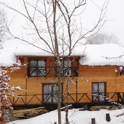 HomesteadHomestead "Dva Braty" Podobovets (sauna, tub)Podobovets4.7 km from Polonyna BorzhavaHot tubSaunaBBQNearby: Shypit Waterfall 2.0 kmMt Gemba 4.5 km16 trails
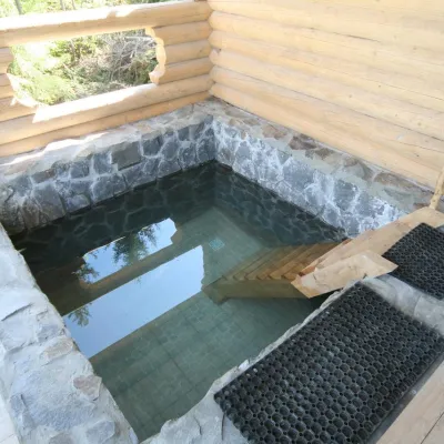 HomesteadGuest House "Dersu Uzala" PodobovetsPodobovets4.2 km from Polonyna BorzhavaSaunaBBQParkingNearby: Shypit Waterfall 2.1 kmMt Veliky Verkh 4.3 km17 trails
Trails nearby
All trails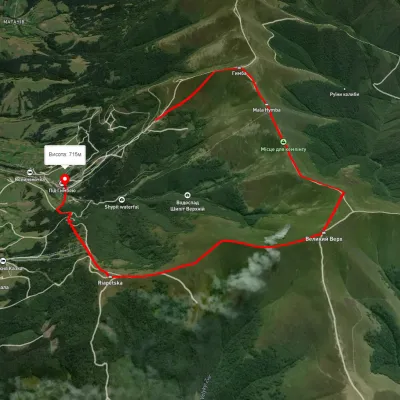 ModerateOne-dayUnmarkedPylypets village loopvia Mount Hemba, Mount Velykyi VerkhElevation profile746–1 635 m10.6 kmascent 737 m≈ 4 h walkingunder 1 km from Polonyna Borzhava
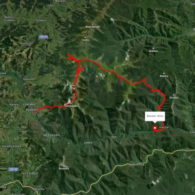 HardMulti-dayUnmarkedVolovets to Vovchyi villagevia Mount Tsytska, Mount Temnatyk +3Elevation profile276–1 676 m50.4 kmascent 3 297 munder 1 km from Polonyna Borzhava
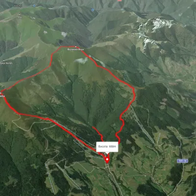 ModerateTwo-dayUnmarkedPylypets village loopvia Mount Hemba, Mount Velykyi Verkh +1Elevation profile686–1 593 m15.2 kmascent 1 139 m≈ 6 h walkingunder 1 km from Polonyna Borzhava
Nearby attractions
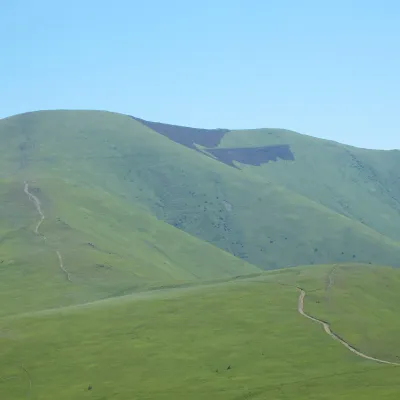 PeakMount Veliky VerkhVolovetsaltitude 1 598 m · Borzhava rangeunder 1 km from Polonyna Borzhava99 trails to the topMount Velykyi Verkh is a 1,598-meter peak of the Ukrainian Carpathians, located within the Borzhava Polonyna.
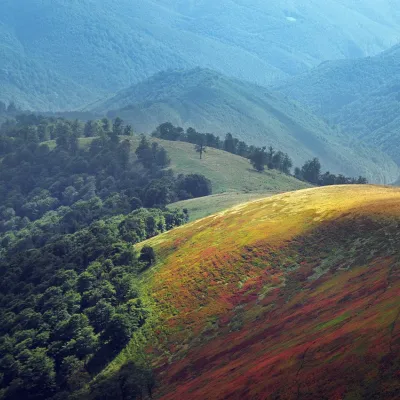 PeakMount Biletsky VerkhPodobovetsaltitude 1 146 m · Borzhava range2.6 km from Polonyna Borzhava1 trail to the topBiletsky Verkh is a mountain 1146 m above sea level on the Borzhava ridge. The mountain is on the route (26.7 km long) from the village of Podobovets past the Shypit...
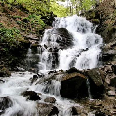 Waterfall"Shypit Waterfall" PylypetsPylypets2.9 km from Polonyna BorzhavaIn a cozy corner of the Carpathian Mountains, among the evergreen mountain forests and steep, sharp cliffs, lies the most full-flowing and beautiful waterfall in...
Craft nearby
All craft places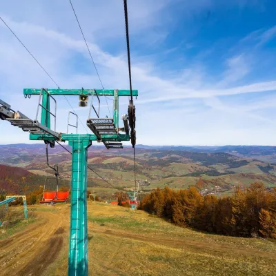 Adventures & attractionsPylypets Sky & Bike Park: chairlift and bike park, PylypetsPylypets3.8 km from Polonyna BorzhavaPylypets Sky & Bike Park is a chairlift and bike park in the Zakarpattia village of Pylypets, one of the region’s best-loved ski resorts.
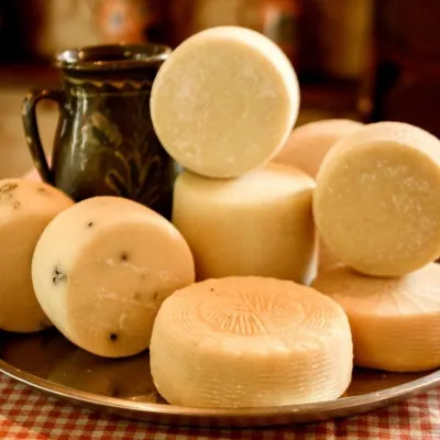 Cheese dairies & pasturesIZKI Highland Cheese Dairy, IzkyIzky7.8 km from Polonyna BorzhavaThe IZKI cheese dairy is the culinary highlight of the eco-resort of the same name in the village of Izky, Zakarpattia.
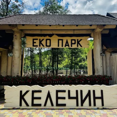 Wildlife parks & animal farmsKelechyn Eco Park, KelechynKelechyn13 km from Polonyna BorzhavaKelechyn Eco Park is a small petting park in the village of Kelechyn in Zakarpattia, on the road from Mizhhiria towards Volovets.
 Craft producersAleks mineral waters, SvaliavaSvalyava19 km from Polonyna BorzhavaAleks is a Svaliava mineral-water producer founded in 1995. It was one of the first companies in Ukraine to bottle natural mineral waters in PET bottles, and today it...
 Craft producersMirella confectionery, SvaliavaSvalyava21 km from Polonyna BorzhavaMirella is a café-patisserie in Svaliava founded by pastry chef Myroslava Holonych. It bakes signature cakes and pastries, traditional Transcarpathian baking, crackers...
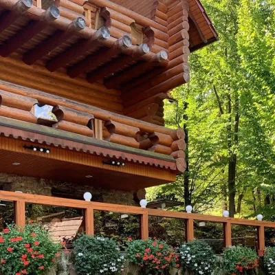 Koliby & Hutsul cuisineKolyba “Nad Potokom”, PolianaPolyana23 km from Polonyna BorzhavaKoliba nad Potokom (“Kolyba above the Stream”) is a wooden kolyba restaurant in the spa village of Poliana near Svaliava in Zakarpattia, on Dyskovetska Street, which...
