Mount Hrab
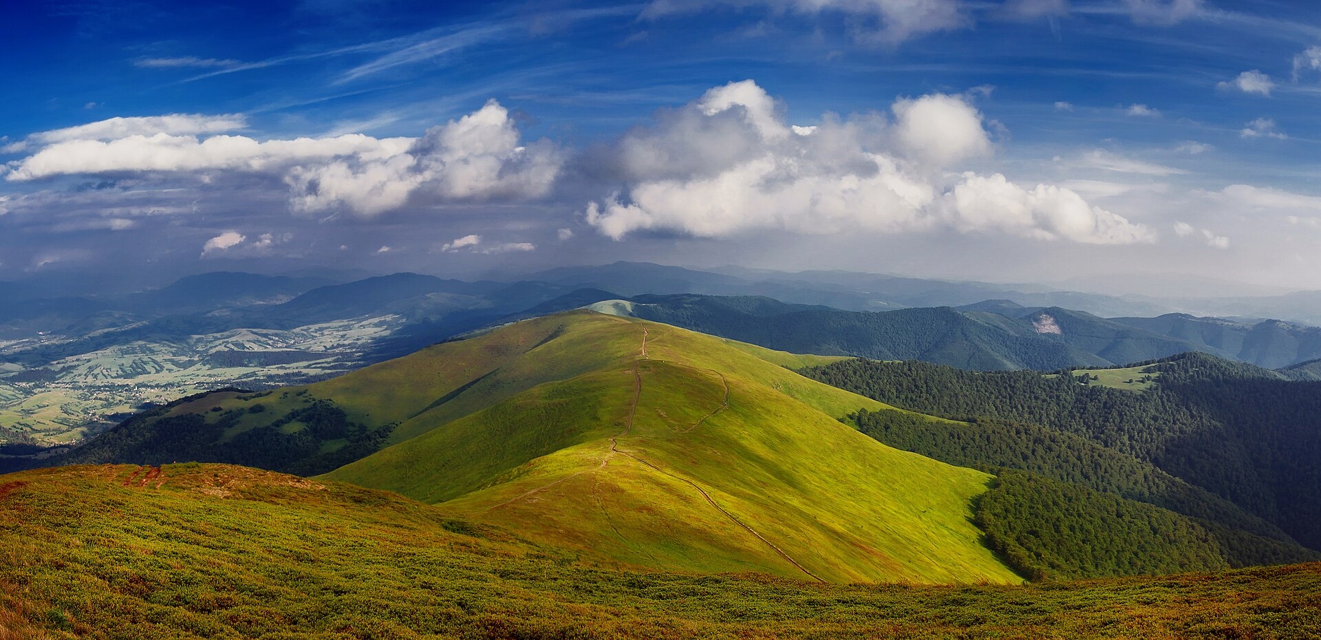
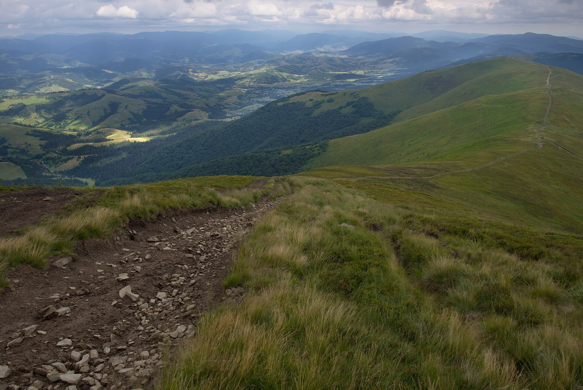
Hrab is a summit in the Polonyna Borzhava massif (Ukrainian Carpathians) on the border of the Svaliava and Mizhhiria districts of Zakarpattia Oblast, south-west of the village of Potik. Its height is 1,374 m according to OpenStreetMap and 1,378 m according to Ukrainian Wikipedia. The foot of the mountain is covered with virgin beech forest with scattered spruce and fir; higher up are meadows and large patches of bilberry. Hrab lies in the eastern part of Borzhava next to Zhyd-Mahura (1,517 m); besides Potik, the nearest villages are Bukovets and Richka.
How to get there
More than ten of our routes along the main Borzhava ridge cross or pass Hrab:
- Bereznyky — Mt Hrab — Mt Zhyd-Mahura — Mt Hemba — Shypit waterfall, 25.8 km, the shortest option that crosses the summit;
- Tiushka — Mt Zhyd-Mahura — Mt Hemba — Mt Velykyi Verkh — Volovets, 35.2 km;
- Rychka — Mt Zhyd-Mahura — Mt Hemba — Shypit waterfall — Mt Velykyi Verkh — Volovets, 40.3 km;
- Mizhhiria — Mt Zhyd-Mahura — Mt Hemba — Mt Stii — Mt Velykyi Verkh — Volovets, 56.4 km.
The Transcarpathian Tourist Trail also runs close to the summit.
Water, shelter and safety
According to our map, a spring below Mount Hrab lies about 350 m from the summit, and a shepherd hut «under Mt Hrab» with a tent spot is about 1.3 km away. The main Borzhava ridge is treeless: there is no shelter in a thunderstorm or strong wind, and fog is frequent, so follow your track. In winter avalanches are possible on the slopes. In an emergency call 112 or 101 — the mountain rescue units work around the clock.
Interesting facts
- The Vendrycha river rises on the south-eastern slopes of the mountain.
- From the ridge you can see the highest summits of Borzhava — Stii (1,681 m) and Velykyi Verkh (1,598 m).
Photos: Zysko serhii, CC BY-SA 4.0; Jiří Komárek, CC BY-SA 4.0 — Wikimedia Commons.
Location on the map
Comments
Places to stay nearby
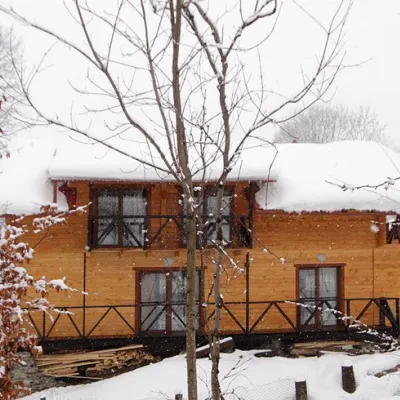 HomesteadHomestead "Dva Braty" Podobovets (sauna, tub)7.8 km from Mount HrabHot tubSaunaBBQNearby: Shypit Waterfall 2.0 kmMt Gemba 4.5 km16 trails
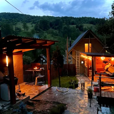 HomesteadPrivate Homestead "Forest House"17 km from Mount HrabThe house is designed for 6 people. Additional places are available.Nearby: St. Michael's Church 7.9 km10 trails
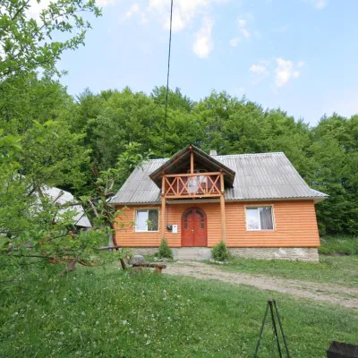 CottageCottage "U Horakh" Bukovets4.4 km from Mount HrabHot tubPoolSaunaNearby: Mt Gemba 6.3 kmShypit Waterfall 6.9 km2 trails
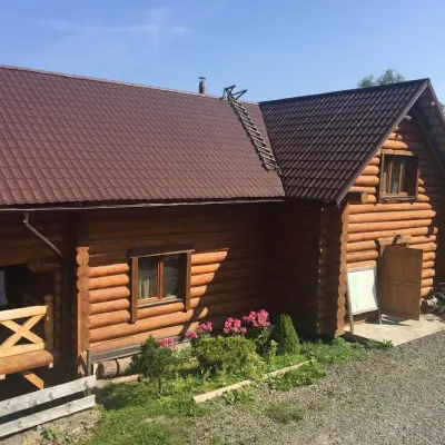 HotelMini-Hotel "Roksolana" Izky4.8 km from Mount HrabPoolSaunaSPANearby: Shypit Waterfall 5.2 kmMt Gemba 5.1 km14 trails
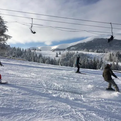 Ski resortSki Lifts and Trails of Eco-Resort "Izky"4.8 km from Mount HrabHot tubPoolSaunaNearby: Shypit Waterfall 5.3 kmMt Gemba 5.2 km14 trails
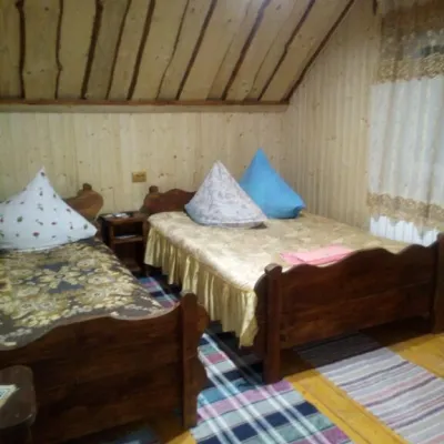 CottageCottage "Liliya" Izky5.9 km from Mount HrabSaunaSPABBQNearby: St. Nicholas Church 1.2 kmShypit Waterfall 6.0 km6 trails
Trails nearby
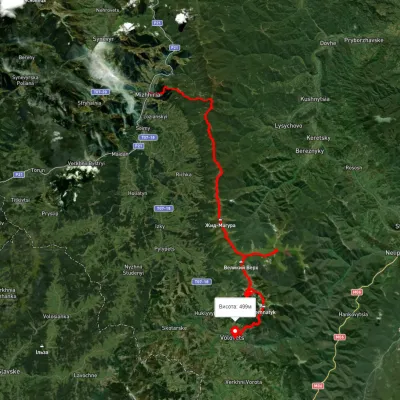 HardMulti-dayUnmarkedMizhhiria to Volovets villagevia Mount Zhyd-Mahura, Mount Hemba +2Elevation profile434–1 664 m56.4 kmascent 3 196 munder 1 km from Mount Hrab
 HardMulti-dayMarkedTranscarpathian Tourist TrailElevation profile198–2 031 m393.2 kmascent 30 283 munder 1 km from Mount Hrab
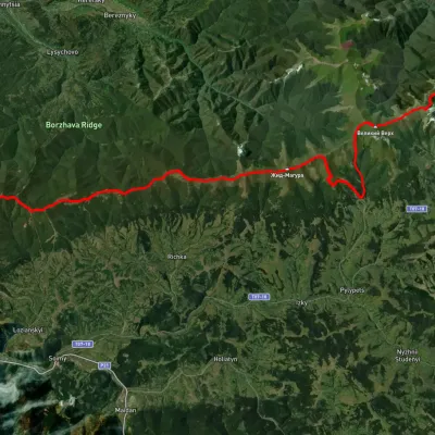 HardMulti-dayUnmarkedVolovets to Mizhhiriavia Mount Velykyi Verkh, Shypit Waterfall +2Elevation profile415–1 570 m51 kmascent 2 992 munder 1 km from Mount Hrab
Nearby attractions
 PeakMount Zhid-Maguraaltitude 1 517 m · Borzhava range2.3 km from Mount Hrab24 trails to the topZhyd-Magura (also called Magura-Zhyd) is a 1517-meter peak of the Ukrainian Carpathians, which is located within the popular tourist destination, the Polonyna Borzhava...
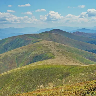 PeakMount Gembaaltitude 1 491 m4.3 km from Mount Hrab38 trails to the topHemba (also known as Hymba) is a very popular mountain in the Ukrainian Carpathians, located on the border of two districts of the Zakarpattia region - Mizhhiria and...
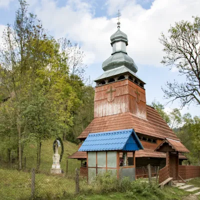 ChurchChurch of the Presentation of the Blessed Virgin Mary, Bukovets4.6 km from Mount HrabThe ensemble of the Church of the Assumption of the Blessed Virgin Mary with a bell tower and a wooden gate, which is rare today.