Mount Zhid-Magura
1 517 m
Hiking route to Zhyd-Magura mountain, Zakarpattia region, Ukraine


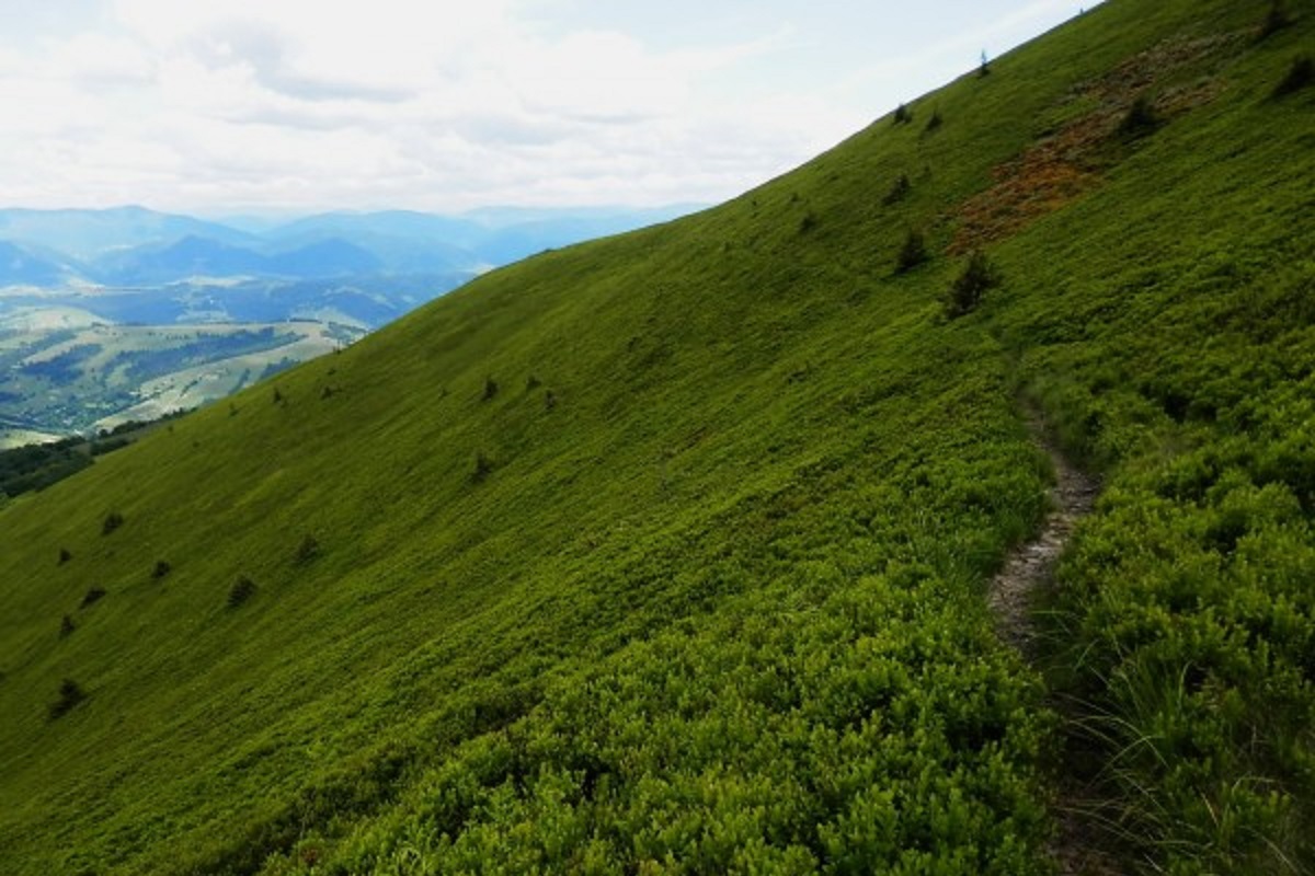
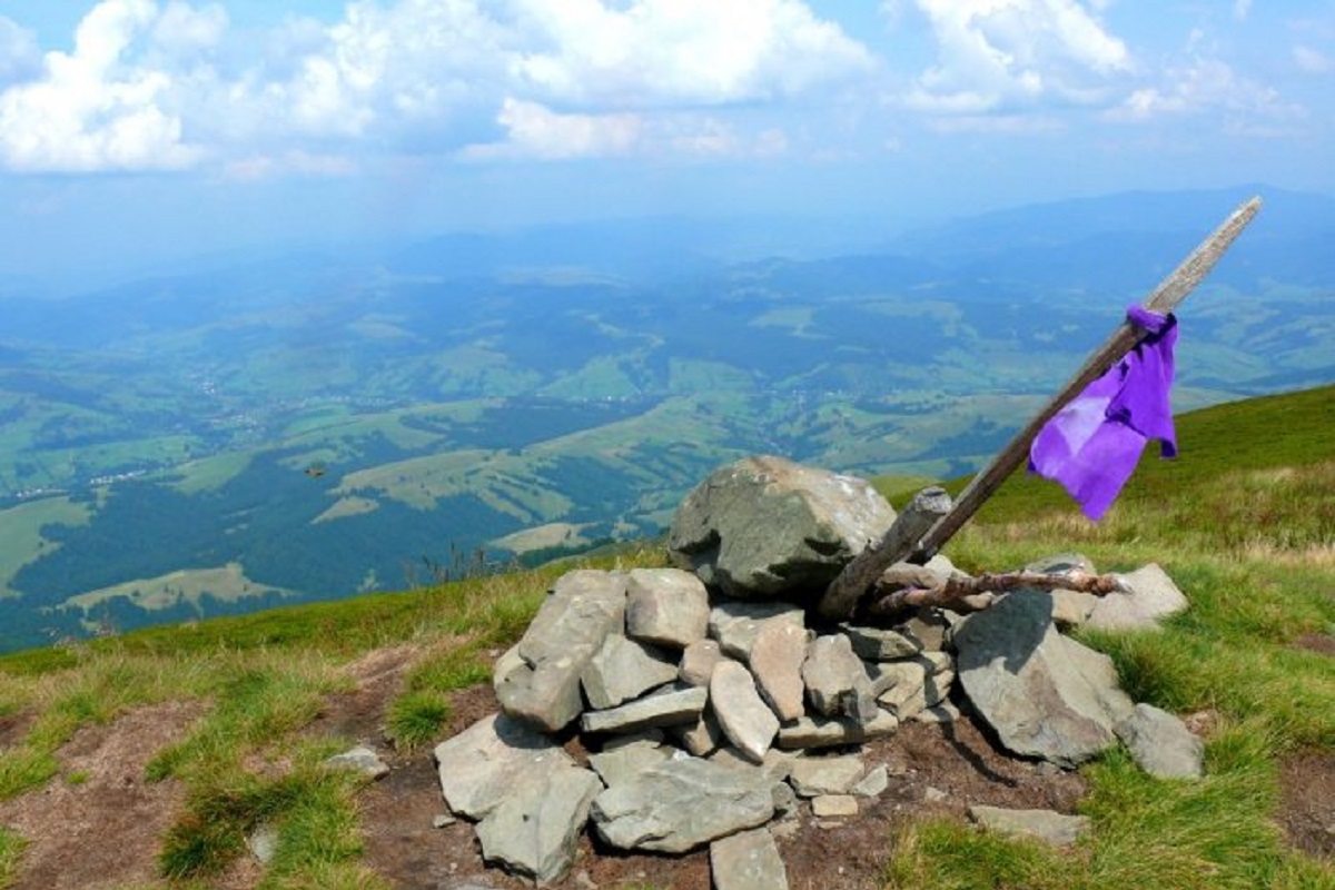
Zhyd-Magura (also called Magura-Zhyd) is a 1517-meter peak of the Ukrainian Carpathians, which is located within the popular tourist destination, the Polonyna Borzhava mountain range.
The mountain is located to the west of the village of Bukovets on the border of two districts of Zakarpattia region - Mizhhirya and Svalyava.
The slopes of Mt. Zhyd-Magura up to an altitude of 1300-1400 meters above sea level are densely covered with ancient forests, mostly beech; above this mark - with sprawling meadows with thickets of blueberry bushes.
The most popular routes to Zhyd-Magura start from the villages of Bukovets and Pylypets in the Mizhhirya district of Zakarpattia region.
Location on the map
Water and shelter nearby
- Spring below Mount Zhyd–Mahura (2)290 m · Not verified · 1 410 m
- Spring below Mount Zhyd–Mahura (4)310 m · Not verified · 1 415 m
- Spring below Mount Zhyd–Mahura (3)500 m · Not verified · 1 294 m
- Spring below Mount Zhyd–Mahura (5)540 m · Not verified · 1 384 m
- Spring below Mount Zhyd–Mahura1 km · Not verified · 1 292 m
- Spring below Mount Zhyd–Mahura (8)1.6 km · Not verified · 1 033 m
- Spring below Mount Zhyd–Mahura (7)2 km · Not verified · 1 327 m
- Spring below Mount Zhyd–Mahura (6)2.2 km · Weak flow · 1 209 m
- Hut below Mount Mahura-Zhyde2.3 km · Not verified · 830 m
- Hut “Midianytsia”2.4 km · Not verified · 1 008 m
- Spring (Potik, 3)2.6 km · Has water · 1 113 m
- Hut below Mount Hrab2.7 km · Standing · 1 122 m
- Spring (Potik, 4)2.8 km · Not verified · 1 242 m
- Spring below Mount Hemba (7)2.9 km · Not verified · 1 157 m
- Spring below Mount Hemba (8)2.9 km · Not verified · 1 026 m
- Hut by the Pylypchyk stream3 km · Not verified · 724 m
Comments
Places to stay nearby
All stays HotelMini-Hotel "Roksolana" IzkyIzky4.3 km from Mount Zhid-MaguraPoolSaunaSPANearby: Mt Gemba 5.1 kmShypit Waterfall 5.2 km14 trails
 Ski resortSki Lifts and Trails of Eco-Resort "Izky"Izky4.3 km from Mount Zhid-MaguraHot tubPoolSaunaNearby: Mt Gemba 5.2 kmShypit Waterfall 5.3 km14 trails
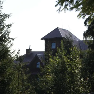 HotelHotel "Horyanyn" PylypetsPylypets4.4 km from Mount Zhid-MaguraSaunaBBQParkingNearby: Shypit Waterfall 800 mMt Gemba 3.1 km17 trails
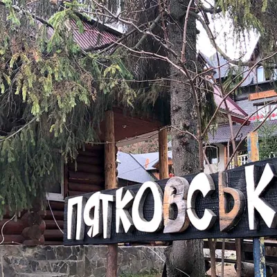 HotelHotel "Piatkovskyi" PylypetsPylypets4.5 km from Mount Zhid-MaguraSaunaSPABBQNearby: Shypit Waterfall 1000 mMt Gemba 3.2 km17 trails
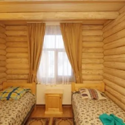 HotelHotel "Shepit Karpat" PylypetsPylypets4.5 km from Mount Zhid-MaguraPoolSaunaParkingNearby: Shypit Waterfall 1.1 kmMt Gemba 3.2 km17 trails
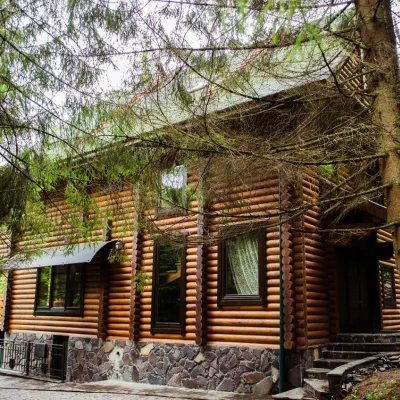 HomesteadHomestead "Pos Pylypets"Pylypets4.5 km from Mount Zhid-MaguraKitchenWi‑FiPetsNearby: Shypit Waterfall 500 mMt Gemba 3.0 km17 trails
Trails via Mount Zhid-Magura
All 24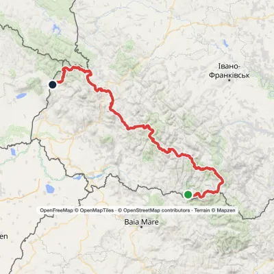 HardMulti-dayMarkedTranscarpathian Tourist TrailElevation profile202–2 061 m393.2 kmascent 17 790 m
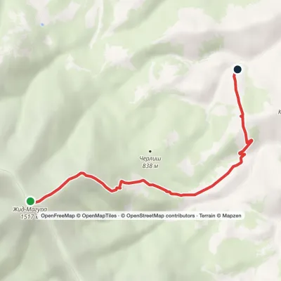 EasyOne-dayMount Zhyd-Mahura Izky villageElevation profile619–1 517 m6.9 kmascent 103 m≈ 2 h walking
 HardMulti-dayMarkedSynevyr Pass to Volovetsvia Mizhhiria, Mount Zhyd-Mahura +2Elevation profile427–1 517 m57.3 kmascent 2 406 m
Nearby attractions
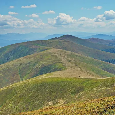 PeakMount GembaPylypetsaltitude 1 491 m · Borzhava range2.1 km from Mount Zhid-Magura38 trails to the topHemba (also known as Hymba) is a very popular mountain in the Ukrainian Carpathians, located on the border of two districts of the Zakarpattia region - Mizhhiria and...
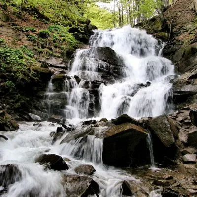 Waterfall"Shypit Waterfall" PylypetsPylypets4.3 km from Mount Zhid-MaguraIn a cozy corner of the Carpathian Mountains, among the evergreen mountain forests and steep, sharp cliffs, lies the most full-flowing and beautiful waterfall in...
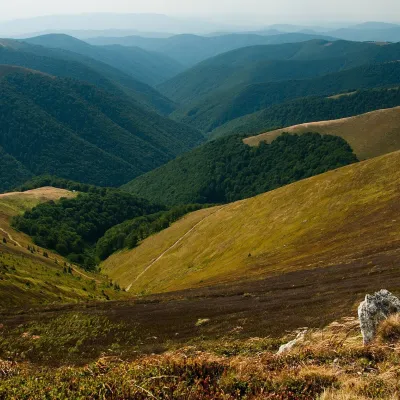 Mountain meadowPolonyna BorzhavaPylypetsaltitude 1 400 m5.2 km from Mount Zhid-MaguraPolonyna Borzhava is the longest polonyna massif in Zakarpattia and one of the best known in the Polonynskyi Ridge of the Ukrainian Carpathians.
Craft nearby
All craft places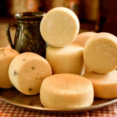 Cheese dairies & pasturesIZKI Highland Cheese Dairy, IzkyIzky4.3 km from Mount Zhid-MaguraThe IZKI cheese dairy is the culinary highlight of the eco-resort of the same name in the village of Izky, Zakarpattia.
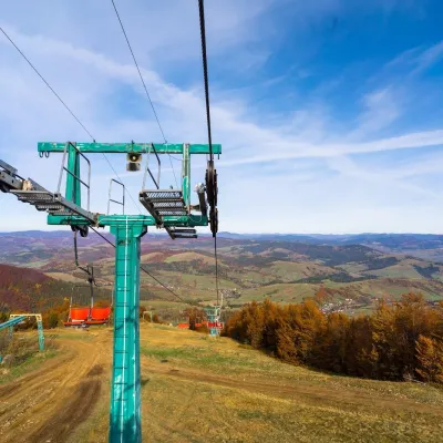 Adventures & attractionsPylypets Sky & Bike Park: chairlift and bike park, PylypetsPylypets4.3 km from Mount Zhid-MaguraPylypets Sky & Bike Park is a chairlift and bike park in the Zakarpattia village of Pylypets, one of the region’s best-loved ski resorts.
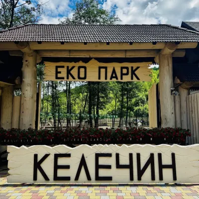 Wildlife parks & animal farmsKelechyn Eco Park, KelechynKelechyn8.7 km from Mount Zhid-MaguraKelechyn Eco Park is a small petting park in the village of Kelechyn in Zakarpattia, on the road from Mizhhiria towards Volovets.
 Craft producersAleks mineral waters, SvaliavaSvalyava22 km from Mount Zhid-MaguraAleks is a Svaliava mineral-water producer founded in 1995. It was one of the first companies in Ukraine to bottle natural mineral waters in PET bottles, and today it...
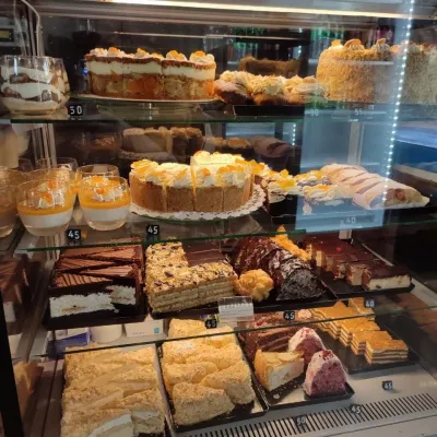 Craft producersMirella confectionery, SvaliavaSvalyava24 km from Mount Zhid-MaguraMirella is a café-patisserie in Svaliava founded by pastry chef Myroslava Holonych. It bakes signature cakes and pastries, traditional Transcarpathian baking, crackers...
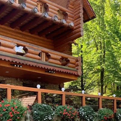 Koliby & Hutsul cuisineKolyba “Nad Potokom”, PolianaPolyana26 km from Mount Zhid-MaguraKoliba nad Potokom (“Kolyba above the Stream”) is a wooden kolyba restaurant in the spa village of Poliana near Svaliava in Zakarpattia, on Dyskovetska Street, which...
