Mount Veliky Verkh
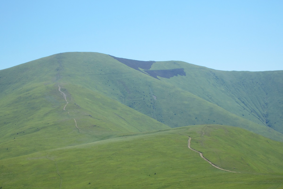
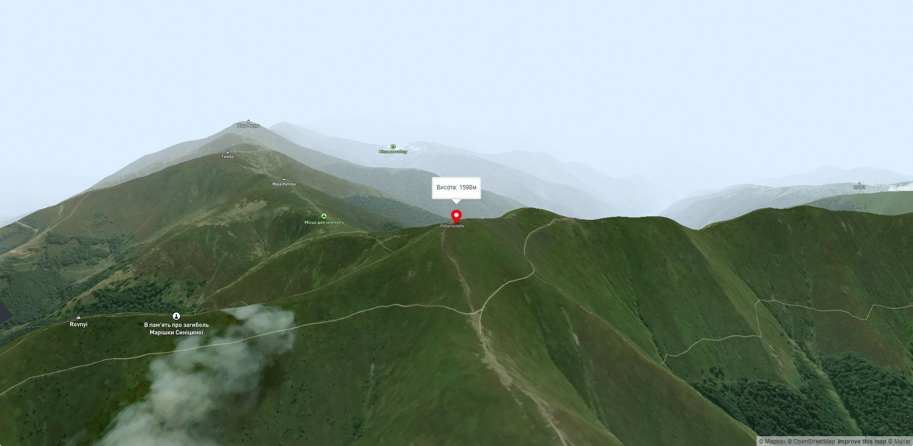
Mount Velykyi Verkh is a 1,598-meter peak of the Ukrainian Carpathians, located within the Borzhava Polonyna. It is located on the border of two districts of Zakarpattia region - Mizhhirya and Volovets, in the southeast direction from Volovets.
Velykyi Verkh and its slopes above 1200-1300 meters above sea level are unforested, covered with blueberry thickets, and below this mark - with dense centuries-old forests.
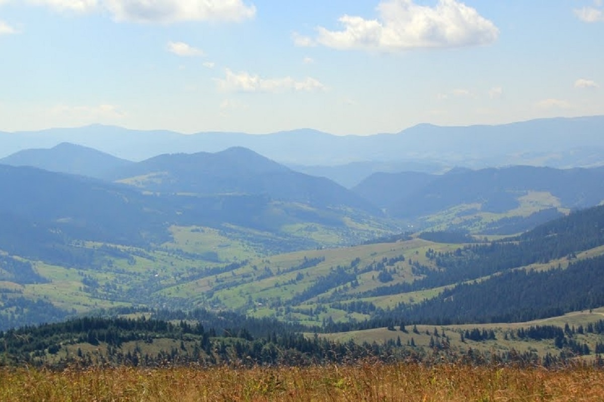
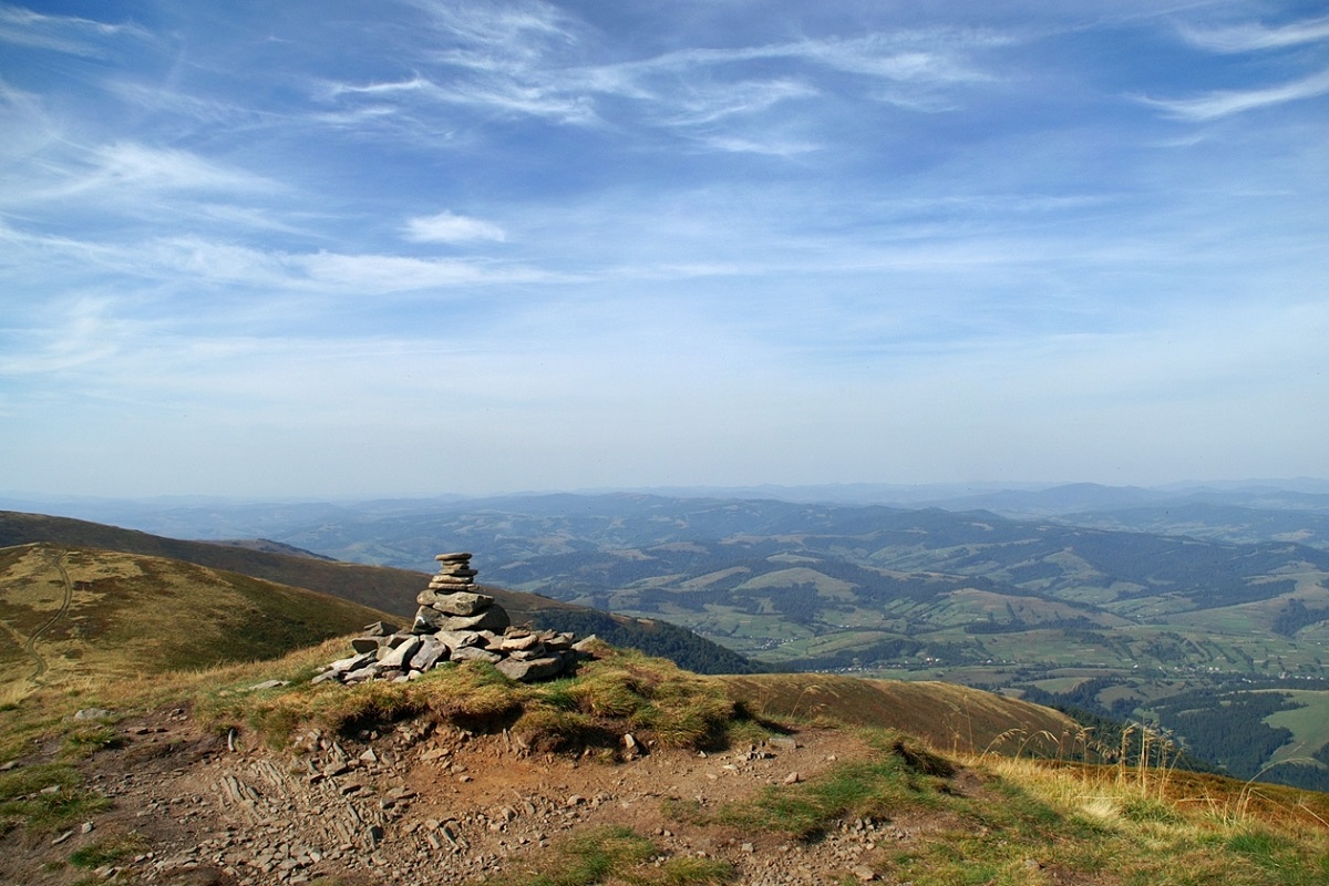
Velykyi Verkh mountain offers a magnificent view - from here you can see the entire Borzhava valley, which stretches in a huge arc from northwest to southeast, with its peaks Mount Stiy, Mount Zhyd-Magura, Mount Hemba, etc.
To the east of Mt. Velykyi Verkh is the most beautiful and most visited waterfall in Transcarpathia - the Shipot Waterfall.
The easiest and simplest way to get to Mount Velykyi Verkh is by chairlift to Mount Hemba, and from there walk along the Borzhava Polonyna to the very top.
The nearest settlement is Volovets (Volovets district, Zakarpattia region).
Accommodation around Mount Veliky Verkh:


Nearby hiking trails near Mount Veliky Verkh:
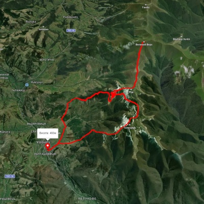
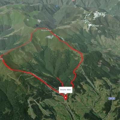
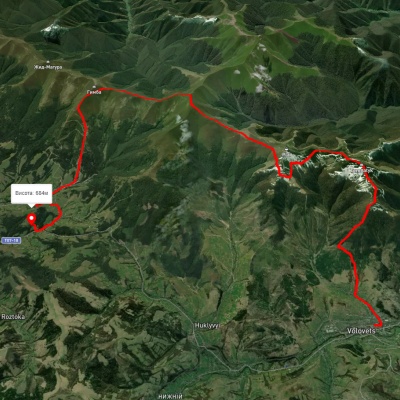
Which trails pass by Mount Veliky Verkh?
We suggest these hiking trails through or near Mount Veliky Verkh: Volovets village – Mount Velykyi Verkh – Volovets village, Pylypets village, via Mount Hemba, Mount Velykyi Verkh and Shypit Waterfall to Pylypets village, Volovets, via Mount Plai, Mount Velykyi Verkh and Mount Hemba to Podobovets village, Volovets, via Mount Plai, Mount Temnatyk, Mount Velykyi Verkh, Mount Hemba and Shypit Waterfall to Podobovets village, Vovchyi village, via Mount Stiy and Mount Velykyi Verkh to Volovets, Pylypets village, via Shypit Waterfall, Mount Hemba and Mount Velykyi Verkh to Volovets