Volovets — to Vovchyi village, via Mount Tsytska, Mount Temnatyk, Mount Plai, Mount Velykyi Verkh, Mount Stiy
Unmarked trailmore
It may be partly marked. Unmarked trails have no information boards, signposts or auxiliary signs (water, campsite, etc.). The decision to walk the trail is entirely your own responsibility.
Trail map
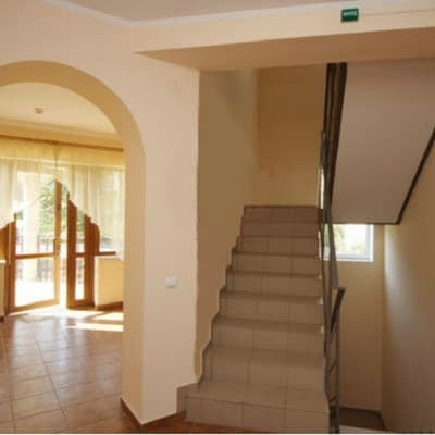
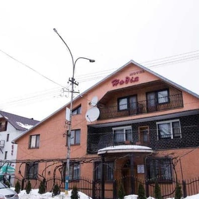
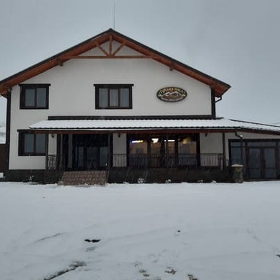
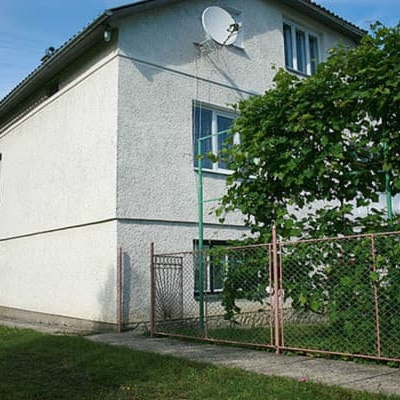
Where to stay nearby
About the trail
Route Volovets, via Mount Tsytska, Mount Temnatyk, Mount Plai, Mount Velykyi Verkh and Mount Stiy to Vovchyi village. Along the route you will see: Holy Ascension Church, Volovets, Mount Veliky Verkh, Mount Stii.
At a glance
A multi-day route of 50.4 km with 3,297 m of ascent from Volovets to Vovchyi village. Estimated time: 3 days of 6–7 h of walking (about 18 h in total, not counting stops). Difficulty: hard. Waymarking is missing or partial.
Route stages
- 0–6 kmClimb of 850 m to Mount Temnatyk (1,343 m)
- 6–21 kmGentle ups and downs at 1,150–1,480 m, past Mount Plai
- 21–29 kmClimb of 510 m to Mount Stii (1,681 m)
- 29–41 kmDescent of 1,170 m (down to 488 m)
- 41–50 kmGentle ups and downs at 290–490 m
Steepest kilometre: km 3–5, a climb of 350 m (≈27%).
Water and overnight stays
Springs near the trail: at km 6, 8, 9, 13, 16, 19, 21, 27, 31 and 49. There are no springs between km 31 and 49 — carry at least 3 l of water.
Places to stay near the start: Volovets; near the finish: Svalyava.
A possible split into days:
- Day 1: km 0–15, ≈6 h — overnight: no shelter nearby on the map, bring a tent
- Day 2: km 15–31, ≈6 h — overnight: no shelter nearby on the map, bring a tent
- Day 3: km 31–50, ≈6 h — finish
When to go
Best time: June to September. In winter only for experienced hikers with proper gear: avalanche danger is possible. About 7 km of the route runs above 1,500 m, where the weather changes quickly — check the forecast.
Getting there
Start: Volovets. This is a one-way route: the finish is 14 km from the start in a straight line, so plan your way back in advance.
FAQ
- How long does the route take?
- Estimated time: 3 days of 6–7 h of walking (about 18 h in total, not counting stops).
- Is there water on the route?
- Springs near the trail: at km 6, 8, 9, 13, 16, 19, 21, 27, 31 and 49. There are no springs between km 31 and 49 — carry at least 3 l of water.
- Where can I stay overnight?
- Places to stay near the start: Volovets; near the finish: Svalyava.
Water and shelter on the route
- Spring (Volovets, 3)km 4.9 from the start · 280 m off the path · Not verified · 1 176 m
- Spring (Volovets, 5)km 5.9 from the start · 50 m off the path · Has water · 1 238 m
- Spring (Volovets, 8)km 7.1 from the start · 260 m off the path · Not verified · 1 185 m
- Spring below Mount Velykyi Verkhkm 10.3 from the start · 80 m off the path · Not verified · 1 217 m
- Spring below Mount Velykyi Verkh (2)km 12.1 from the start · 270 m off the path · Not verified · 1 235 m
- Spring below Mount Velykyi Verkh (8)km 14.9 from the start · 210 m off the path · Has water · 1 244 m
- Drinking water below Mount Velykyi Verkhkm 16.6 from the start · 230 m off the path · Not verified · 1 236 m
- Spring below Mount Stii (4)km 21 from the start · 290 m off the path · Not verified · 1 320 m
- Spring below Mount Stiikm 24.3 from the start · 220 m off the path · Not verified · 1 257 m
- Captured spring (Vovchyi)km 37.8 from the start · 50 m off the path · Not verified · 296 m
Comments
What to see on the trail
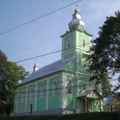 Holy Ascension Church, Volovetsaltitude 519 mThe Orthodox community in Volovets and Kanora was founded in 1925 by Father Lev Tyblevych, an emigrant from Russia (or possibly Ukraine, since he...
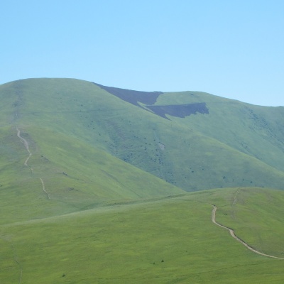 Mount Veliky Verkhaltitude 1 598 mMount Velykyi Verkh is a 1,598-meter peak of the Ukrainian Carpathians, located within the Borzhava Polonyna.
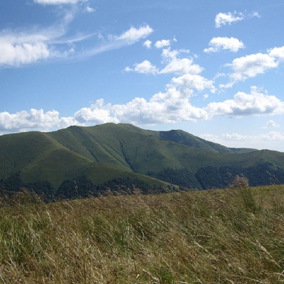 Mount Stiialtitude 1 681 mStiy (also known as Stoy) is the highest peak of the Polonyna Borzhava mountain range on the Polonyna ridge (Polonyna Beskyd), located in the inner...
Trails nearby
All trails HardMulti-dayMarkedTranscarpathian Tourist TrailElevation profile198–2 031 m393.2 kmascent 30 283 m
 ModerateOne-dayUnmarkedVolovets loopvia Mount TsytskaElevation profile485–1 298 m14.8 kmascent 960 m≈ 5.5 h walking
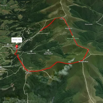 ModerateOne-dayUnmarkedPylypets village loopvia Mount Hemba, Mount Velykyi VerkhElevation profile746–1 635 m10.6 kmascent 737 m≈ 4 h walking