Mount Plai
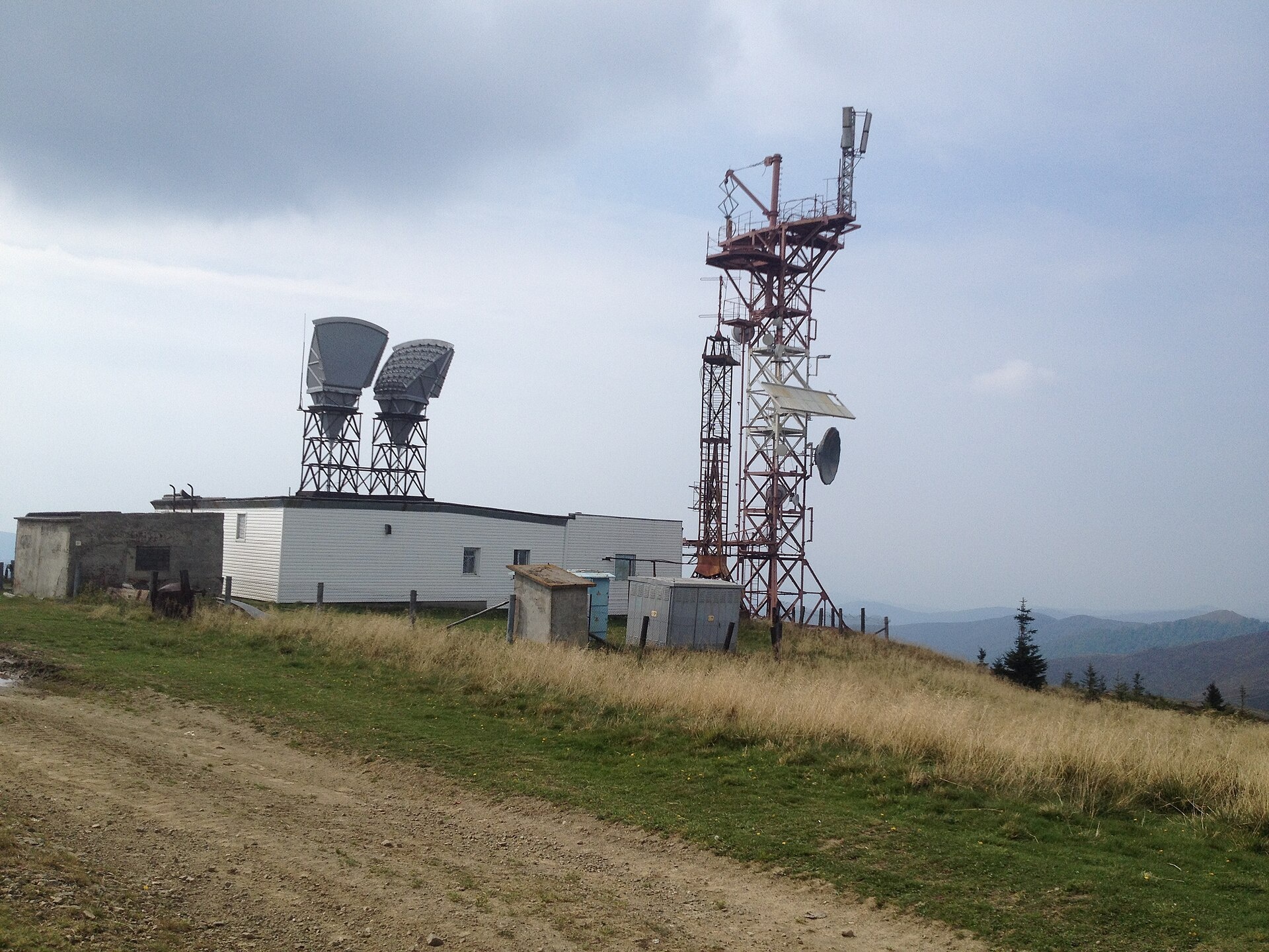
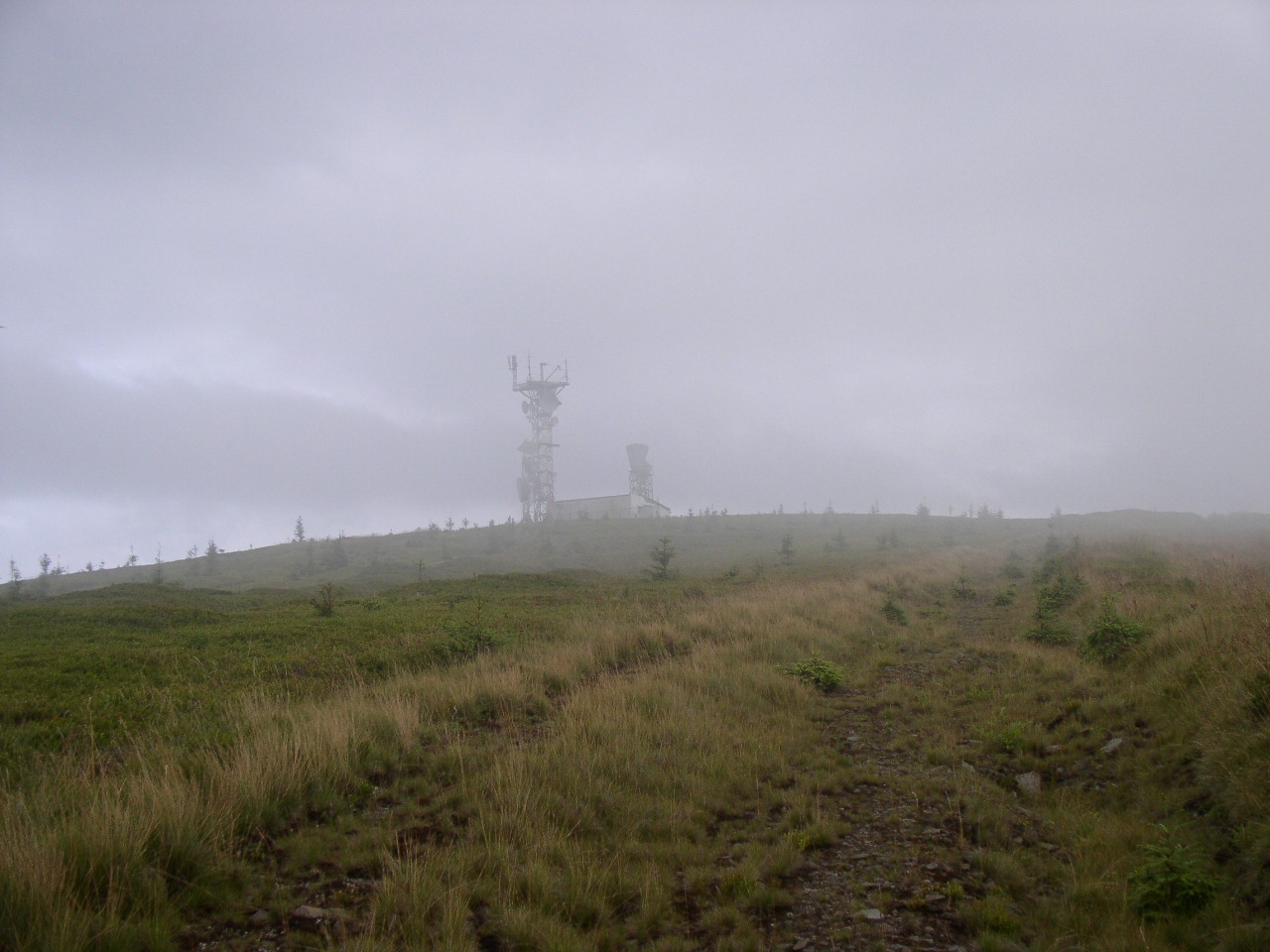
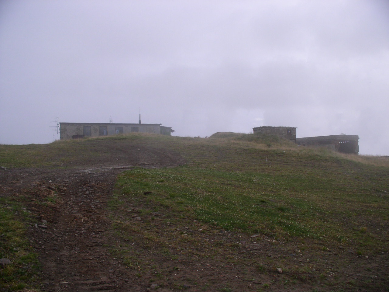
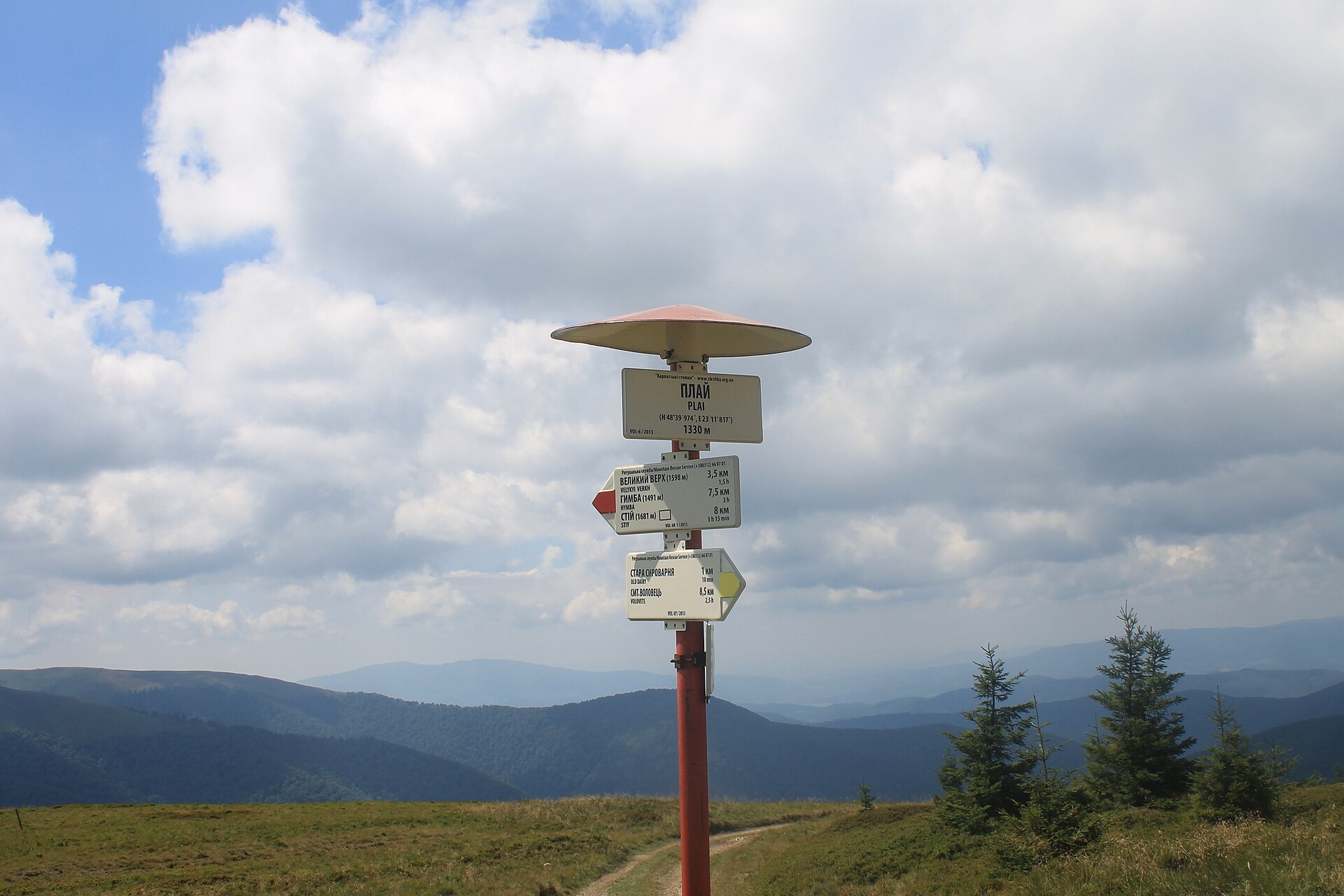
Plai is a 1,323 m mountain in the Polonyna Borzhava massif (Polonynskyi Ridge), in the Mukachevo district of Zakarpattia Oblast. It rises south of Volovets; the nearest settlements are Volovets and Huklyvyi. The summit is treeless, the slopes are steep (especially to the east) and the foot of the mountain is forested. To the north-west lies Temnatyk, to the south-east Velykyi Verkh (1,598 m), beyond which the ridge leads to the highest summit of Borzhava, Stii (1,681 m).
How to get there
Plai is the first big summit on the way from Volovets onto the main Borzhava ridge, so most of our routes from the village cross it:
- Volovets — Mt Plai — Mt Velykyi Verkh — Mt Hemba — Shypit waterfall — Volovets, 29.3 km;
- Volovets — Mt Plai — Mt Velykyi Verkh — Mt Stii — Mt Hemba — Shypit waterfall, 25.1 km;
- Volovets — Mt Tsytska — Mt Temnatyk — Mt Plai — Mt Velykyi Verkh — Mt Stii — Vovchyi, 50.4 km, a multi-day hike.
The Transcarpathian Tourist Trail also passes close to Plai. Volovets has a railway station, so you can start walking straight from the train.
Water, shelter and safety
Our map shows the «Sviata Krynytsia» spring about 2 km from the summit and a shepherd hut (kolyba) under Velykyi Verkh about 2.4 km away. Above the tree line the ridge is fully exposed — there is no shelter from wind, rain or lightning, and in fog it is easy to lose the path, so carry an offline map, warm clothes and enough water. In winter avalanches are possible on the open slopes of Borzhava. In an emergency call 112 or 101 — the mountain rescue units of Zakarpattia work around the clock.
Interesting facts
- A weather station has been operating on Mount Plai since 1968. In 1969–1970 Viacheslav Chornovil worked here as an observer; a memorial sign was placed on the mountain on 15 September 2007.
- The summit holds permanent buildings (some of them abandoned) and a radio relay station with antennas.
- The word «plai» is common throughout the Carpathians and means a mountain path; it is of Romanian-Wallachian origin.
- Nearby stand the ruins of the so-called «Old Cheese Dairy», a milk-processing station built in Austro-Hungarian times as part of Edmund Egan's «Highland Action».
Photos: Svyatko eco, CC BY-SA 4.0; Alex Zelenko, CC BY-SA 4.0; Alex Zelenko, CC BY-SA 4.0; A1, CC0 — Wikimedia Commons.
Comments
Travellers’ experience: reports, tips, questions.
No one has reported on this trail yet. Been here lately? Tell others what it is like now.
Location on the map
Water and shelter nearby
- Spring (Huklyvyi, 2)460 m · Not verified · 1 166 m
- Spring (Huklyvyi, 9)500 m · Not verified · 1 183 m
- Spring (Huklyvyi, 3)530 m · Not verified · 1 177 m
- Spring (Huklyvyi)570 m · Not verified · 1 141 m
- Spring (Volovets, 9)680 m · Not verified · 1 183 m
- Spring (Volovets, 8)700 m · Not verified · 1 185 m
- Spring (Huklyvyi, 10)890 m · Not verified · 1 105 m
- Spring (Huklyvyi, 11)960 m · Not verified · 1 085 m
- Spring (Huklyvyi, 4)1 km · Not verified · 1 110 m
- Spring (Huklyvyi, 5)1.1 km · Not verified · 1 071 m
- Spring (Huklyvyi, 6)1.2 km · Not verified · 1 047 m
- Spring (Huklyvyi, 7)1.2 km · Not verified · 1 033 m
- Spring (Huklyvyi, 8)1.2 km · Not verified · 1 031 m
- Spring (Volovets, 7)1.3 km · Not verified · 1 076 m
- Spring (Volovets, 6)1.4 km · Not verified · 1 100 m
- Spring (Volovets, 5)1.6 km · Has water · 1 238 m
Wildlife nearby
All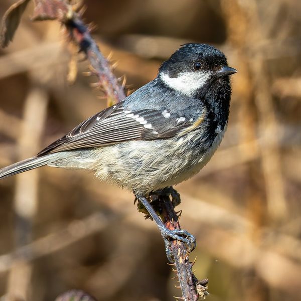
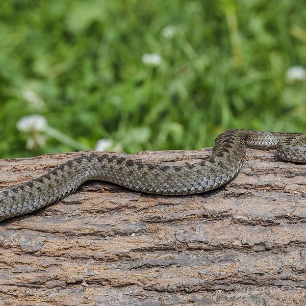
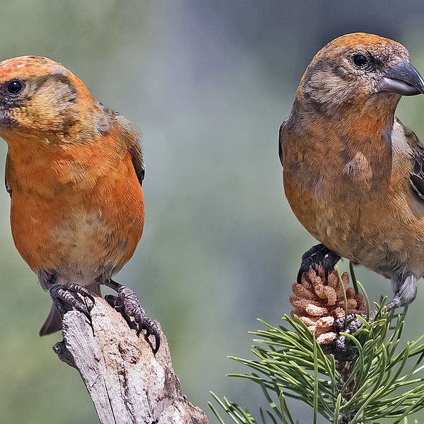
Based on naturalists’ records nearby (GBIF, iNaturalist), matched by altitude, habitat and season. Sightings are not guaranteed.
Places to stay nearby
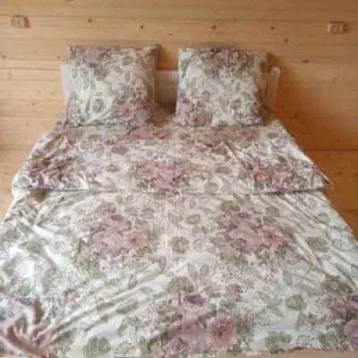
All stays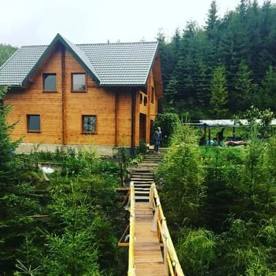 HotelWoodDreamVolovets3.5 km from Mount PlaiBBQParkingWi‑FiNearby: Holy Ascension Church 1.8 kmMt Veliky Verkh 6.0 km26 trailsfrom 800 UAH per night
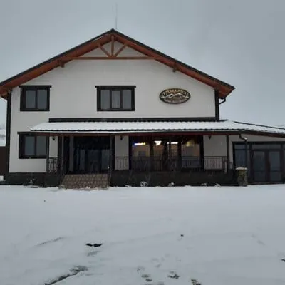
 Hotelu VaniVolovets4.7 km from Mount PlaiPoolSaunaBBQNearby: Holy Ascension Church 500 mMt Temnatyk 3.7 km26 trailsfrom 1 200 UAH per night
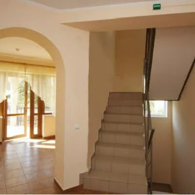
 HotelHirska RosaVolovets4.8 km from Mount PlaiHot tubSaunaBBQNearby: Holy Ascension Church 400 mMt Temnatyk 3.8 km26 trailsfrom 1 100 UAH per night
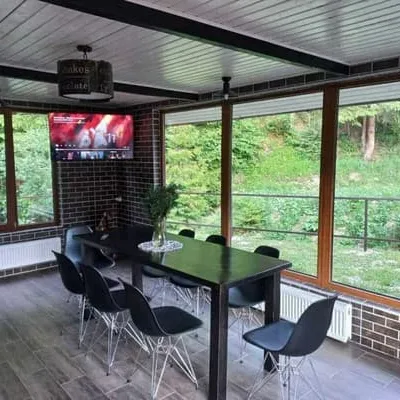
 HotelHrinvichVolovets5.5 km from Mount PlaiParkingWi‑FiNearby: Holy Ascension Church 400 mMt Temnatyk 4.5 km26 trailsfrom 1 200 UAH per night
 CottageDerev'yanyyVolovets5.5 km from Mount PlaiSaunaBBQParkingNearby: Church of the Holy Spirit 100 mShypit Waterfall 5.7 km29 trailsfrom 3 500 UAH per night
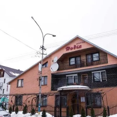 MotelNadiyaVolovets5.5 km from Mount PlaiBBQParkingWi‑FiNearby: Holy Ascension Church 400 mMt Temnatyk 4.6 km26 trailsfrom 880 UAH per night
Trails nearby
All trails HardTwo-dayMarkedVolovets to Vovchyi villagevia Mount Tsytska, Mount Temnatyk +3Elevation profile288–1 681 m50.4 kmascent 2 099 munder 1 km from Mount Plai
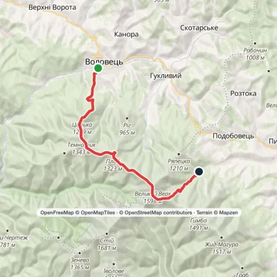 HardOne-dayMarkedVolovets to Shypit Waterfallvia Mount Velykyi VerkhElevation profile489–1 598 m17.6 kmascent 1 339 m≈ 6.5 h walkingunder 1 km from Mount Plai
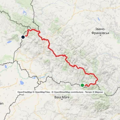 HardMulti-dayMarkedTranscarpathian Tourist TrailElevation profile202–2 061 m393.2 kmascent 17 790 munder 1 km from Mount Plai
Nearby attractions
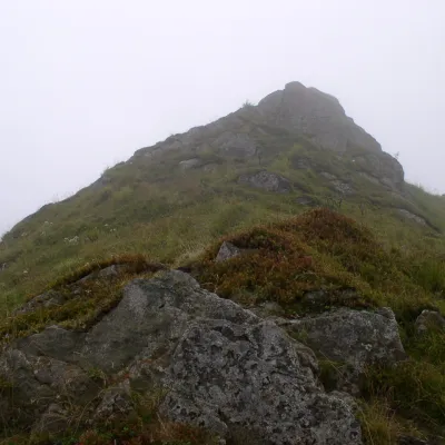 PeakMount TemnatykVolovetsaltitude 1 343 m · Borzhava range2.2 km from Mount PlaiTemnatyk (also Tomnatyk) is a peak on the far north-western spur of the Polonyna Borzhava massif in Zakarpattia Oblast.
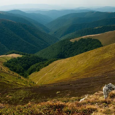 Mountain meadowPolonyna BorzhavaPylypetsaltitude 1 400 m3.3 km from Mount PlaiPolonyna Borzhava is the longest polonyna massif in Zakarpattia and one of the best known in the Polonynskyi Ridge of the Ukrainian Carpathians.
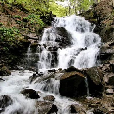 Waterfall"Shypit Waterfall" PylypetsBorzhava5.5 km from Mount Plaiheight 14 m787 m above sea levelIn a cozy corner of the Carpathian Mountains, among the evergreen mountain forests and steep, sharp cliffs, lies the most full-flowing and beautiful waterfall in...
Craft nearby
All craft places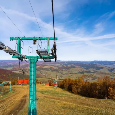 Adventures & attractionsPylypets Sky & Bike Park: chairlift and bike park, PylypetsPylypets6.3 km from Mount PlaiPylypets Sky & Bike Park is a chairlift and bike park in the Zakarpattia village of Pylypets, one of the region’s best-loved ski resorts.
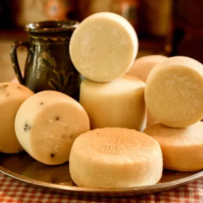 Cheese dairies & pasturesIZKI Highland Cheese Dairy, IzkyIzky11 km from Mount PlaiThe IZKI cheese dairy is the culinary highlight of the eco-resort of the same name in the village of Izky, Zakarpattia.
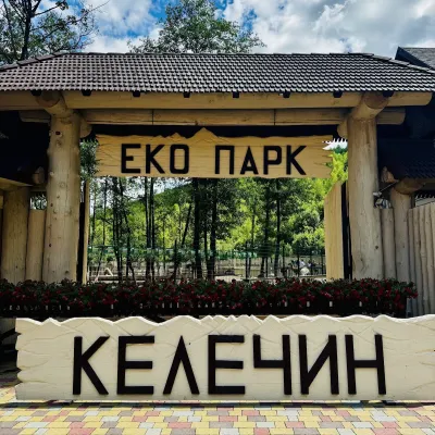 Wildlife parks & animal farmsKelechyn Eco Park, KelechynKelechyn17 km from Mount PlaiKelechyn Eco Park is a small petting park in the village of Kelechyn in Zakarpattia, on the road from Mizhhiria towards Volovets.
 Craft producersAleks mineral waters, SvaliavaSvalyava18 km from Mount PlaiAleks is a Svaliava mineral-water producer founded in 1995. It was one of the first companies in Ukraine to bottle natural mineral waters in PET bottles, and today it...
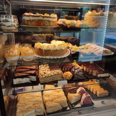 Craft producersMirella confectionery, SvaliavaSvalyava20 km from Mount PlaiMirella is a café-patisserie in Svaliava founded by pastry chef Myroslava Holonych. It bakes signature cakes and pastries, traditional Transcarpathian baking, crackers...
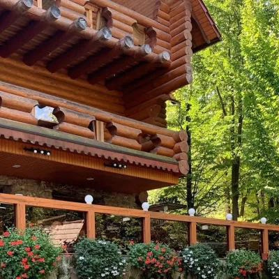 Koliby & Hutsul cuisineKoliba “Nad Potokom”, PolianaPolyana20 km from Mount PlaiKoliba nad Potokom (“Kolyba above the Stream”) is a wooden kolyba restaurant in the spa village of Poliana near Svaliava in Zakarpattia, on Dyskovetska Street, which...
