Meadowsweet
For information only, not medical advice. Do not self-medicate — consult a doctor. Many Carpathian medicinal plants are protected and must not be collected.
About
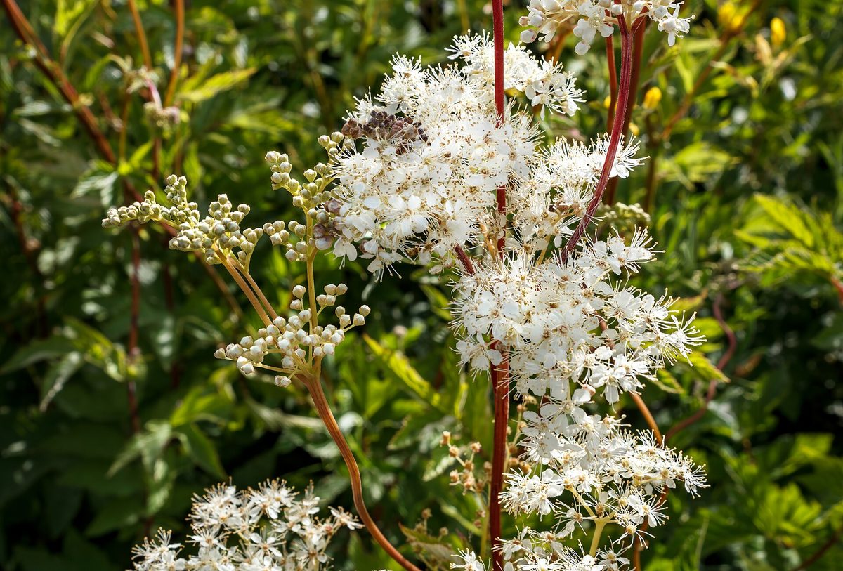
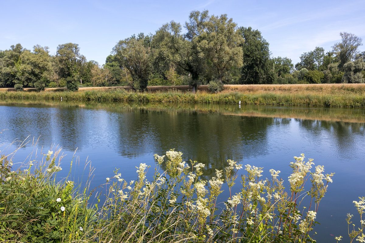
Meadowsweet, or ulmaria, is a plant of wet places. It grows in swampy deciduous forests, willow thickets, eutrophic bogs, wet meadows, and along riverbanks and streams. It is widespread throughout Ukraine, less common in the south. It also occurs in the Carpathians.
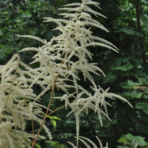
This perennial herb reaches a height of 1–1.2 m with a thick creeping rhizome. The leaves are intermittently pinnate: small leaflets sit between large pairs, and the terminal leaflet is large, divided into three to five segments. The leaves are green and glabrous on top, often gray or white-woolly underneath. It blooms from June to July: lush panicles of numerous small creamy-white flowers open at the tops of the stems. Their aroma is very strong and sweet.
Meadowsweet played a significant role in the history of medicine. In 1838, salicylic acid was first obtained from its buds, and later acetylsalicylic acid — aspirin — was created based on it. The name 'aspirin' is derived from the old Latin name for meadowsweet — Spiraea ulmaria.
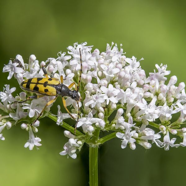
In folk tradition, meadowsweet flowers are dried and brewed as herbal tea, and in some countries, they are used to flavor beverages, jams, and drinks. Once, the fragrant herb was even scattered on the floors of homes. The plant contains salicin and other salicylic compounds, so people who are intolerant to aspirin should avoid it. Meadowsweet can be distinguished from valerian, which grows in similar wet places, by its fluffy panicle and pinnate leaves with small intermediate leaflets.
Where in the Carpathians

The map shows where naturalists recorded the species (GBIF, CC0 and CC BY records), not every place it lives. The Ukrainian Carpathians are less studied, so a blank area does not mean the species is absent.
- Countries
- Slovakia · Czechia · Poland · Ukraine · Romania · Austria · Hungary
- Mountain ranges
- Slovak Ore Mountains, Low Tatras, Slovak Central Mountains, Greater Fatra, Volovec Mountains, Lesser Fatra, Slovak Paradise, Strážov Mountains, Żywiec Beskids, High Tatras
- Altitude belts
- Foothills (below 600 m) · Beech forests (600–1200 m)
When to see it
| Jan | Feb | Mar | Apr | May | Jun | Jul | Aug | Sep | Oct | Nov | Dec | |
|---|---|---|---|---|---|---|---|---|---|---|---|---|
| Flowering | ||||||||||||
| Fruit |
From naturalists’ observations in the Carpathians (iNaturalist, research grade): the darker the cell, the more often the species is seen that month.
Safety
Contains salicylates: people who are intolerant to aspirin should avoid teas made from meadowsweet.
Look-alikes — how to tell them apart
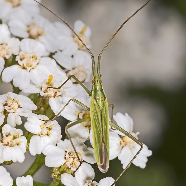
Flowers are pinkish, collected in umbrella-like umbels; leaves are odd-pinnate without small intermediate leaflets; the root has a characteristic smell.
A taller plant of forest slopes; small flowers in long thin drooping spike-like panicles; leaves are twice pinnate.
In folk tradition
Flowers are traditionally dried and brewed as herbal tea, and they are used to flavor beverages, jams, and drinks.
Protection and rules
Not protected. Collecting plants in reserves and protected areas of national parks is prohibited.
FAQ
What is the connection between meadowsweet and aspirin?
In 1838, salicylic acid was first obtained from meadowsweet buds, from which aspirin was later synthesized. The name 'aspirin' comes from the old Latin name for meadowsweet, Spiraea.
When does meadowsweet bloom?
In June — July, in wet meadows and along streams.
Similar species
Where to meet it
Trails
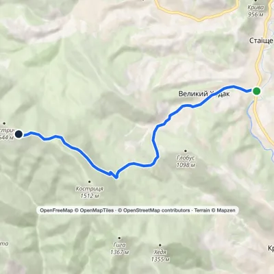 ModerateOne-dayMarkedStaishche Mount KostrychElevation profile697–1 544 m8.1 kmascent 845 m≈ 3.5 h walking
 HardMulti-dayZelene village to Verkhovynavia Mount SkupovaElevation profile601–1 579 m32.7 kmascent 995 m≈ 10 h walking
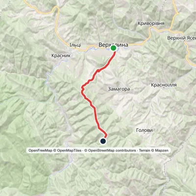 ModerateTwo-dayVerkhovyna Mount SkupovaElevation profile601–1 399 m15.3 kmascent 905 m≈ 5.5 h walking
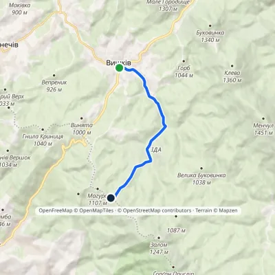 EasyOne-dayMarkedVyshkiv village Mount MahuraElevation profile798–1 113 m7.3 kmascent 314 m≈ 2.5 h walking
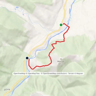 EasyOne-dayMarkedBaron's Trail: Deliatyn Dora villageElevation profile421–701 m5.3 kmascent 277 m≈ 2 h walking
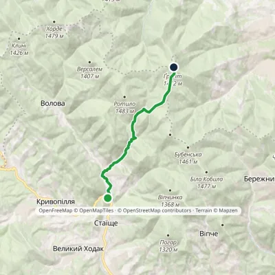 ModerateOne-dayMarkedVolova village Vesnarka polonynaElevation profile743–1 472 m8.9 kmascent 742 m≈ 3.5 h walking
 ModerateTwo-dayVerkhovyna loopvia Krynta-Skupova ridgeElevation profile602–1 322 m22.2 kmascent 766 m≈ 7 h walking
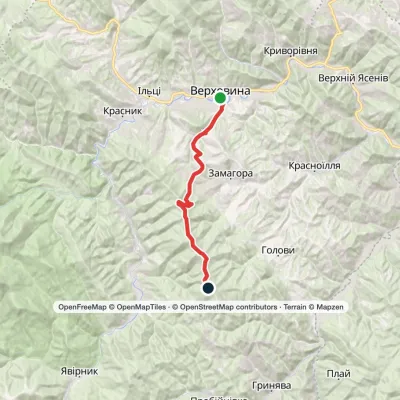 ModerateTwo-dayVerkhovyna Krynta-Skupova ridgeElevation profile601–1 422 m18.7 kmascent 908 m≈ 6.5 h walking
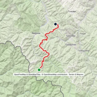 HardMulti-dayMount Chyvchyn to Stovpni Horishni villagevia the Pnivie ridge, the Vatunarka ridge +1Elevation profile975–1 540 m32.5 kmascent 1 323 m≈ 11 h walking
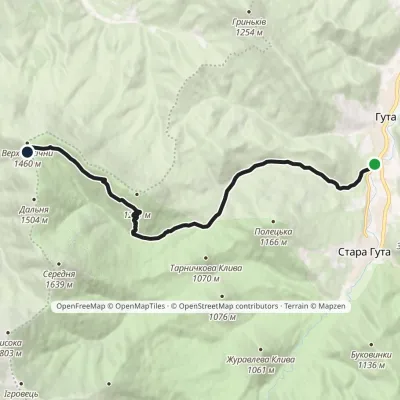 ModerateOne-dayMarkedHuta village Mount PasichnaElevation profile635–1 477 m11.4 kmascent 841 m≈ 4.5 h walking
 EasyOne-dayMount Bila Kobyla VerkhovynaElevation profile613–1 466 m9.5 kmascent 27 m≈ 2.5 h walking
 ModerateTwo-dayMarkedShepit village Mount YarovytsiaElevation profile858–1 574 m20.8 kmascent 898 m≈ 7 h walking
Peaks and meadows
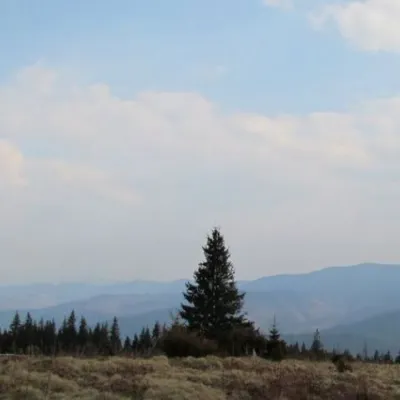 Mountain meadow1 200 mPolonyna ShchivkaYaremcheThe Shchivka meadow has a very good location. Its length is about 700 meters, it has a slight slope, which protects...
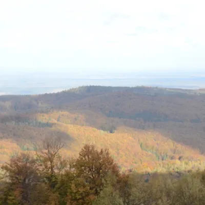 PeakMount BobovyshcheOrivaltitude 817 m4 trails to the topBobovyshche (also called Popivska) is an 817 m mountain in the Upper Dniester Beskids, Lviv Oblast.
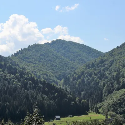 PeakMount of the Heroes of the Heavenly HundredRybnykaltitude 886 m · Skole Beskids rangeThe Mount of the Heroes of the Heavenly Hundred (locally Konova or Horb) is an 886 m summit (890 m according to other...
Waters and waterfalls
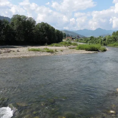 RiverChornyi Cheremosh RiverVerkhovynaThe Chornyi Cheremosh rises south-east of Burkut on the slopes of the Chyvchyn Mountains, the most remote corner of...
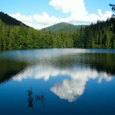 LakeSynevyr Lake Synevyrska PolyanaSynevyrska PolyanaLake Synevyr, located on the territory of the National Nature Park of the same name in Mizhhirya district of...
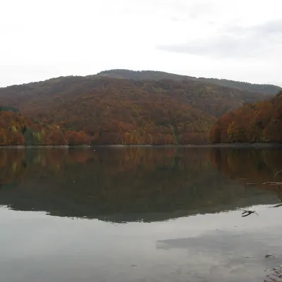 LakeVilshany ReservoirVilshanyThe Vilshany Reservoir, also called the Tereblia-Rika Reservoir, is a narrow mountain lake in the Tereblia valley...
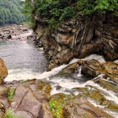 WaterfallProbiy waterfall, YaremcheYaremcheProbiy Waterfall is located in the heart of the Carpathian Mountains, in the city of Yaremche.
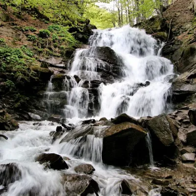 Waterfall"Shypit Waterfall" PylypetsPylypetsIn a cozy corner of the Carpathian Mountains, among the evergreen mountain forests and steep, sharp cliffs, lies the...
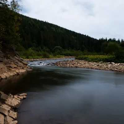 RiverSvicha RiverVyhodaThe Svicha is a 107-km right-bank tributary of the Dniester. It rises on the northern slopes of the main Gorgany...
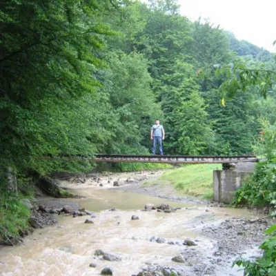 WaterfallMikva waterfallVyzhenkaThe Mykva Waterfall is a small but very picturesque waterfall located in the village of Vyzhenka, Chernivtsi region.
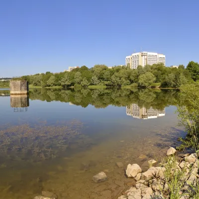 LakeTruskavets ReservoirTruskavetsTruskavets Reservoir, known locally as Lake Solonytsia, lies on the south-eastern edge of Truskavets, next to the...
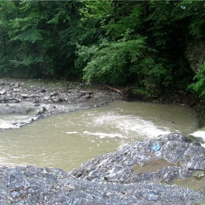 RiverVyzhenka RiverVyzhenkaTheriver Vyzhenka is located in the village of the same name in the Chernivtsi region.
Mountain ranges: Bieszczady. In other countries: 🇸🇰 Slovak Ore Mountains, 🇸🇰 Low Tatras, 🇸🇰 Slovak Central Mountains, 🇸🇰 Greater Fatra, 🇸🇰 Volovec Mountains, 🇸🇰 Lesser Fatra, 🇸🇰 Slovak Paradise, 🇸🇰 Strážov Mountains, 🇵🇱 Żywiec Beskids, 🇸🇰 High Tatras, 🇸🇰 Western Tatras, 🇨🇿 Moravian-Silesian Beskids, 🇸🇰 Kysuce Beskids
Trails and peaks near which naturalists recorded the species (GBIF, iNaturalist), matched by altitude and habitat. Sightings are not guaranteed.
Sources
- Вікіпедія: Гадючник болотяний
- Wikipedia (en): Filipendula ulmaria
- iNaturalist: Filipendula ulmaria (спостереження в Карпатах)
GBIF · iNaturalist · Wikidata · Distribution data: GBIF.org (CC0 and CC BY records), iNaturalist; names and identifiers: Wikidata (CC0). Text: Karpaty.rocks, checked 09.11.2026.
