Comma
About
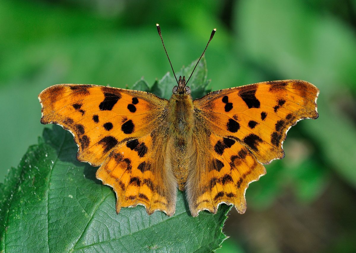
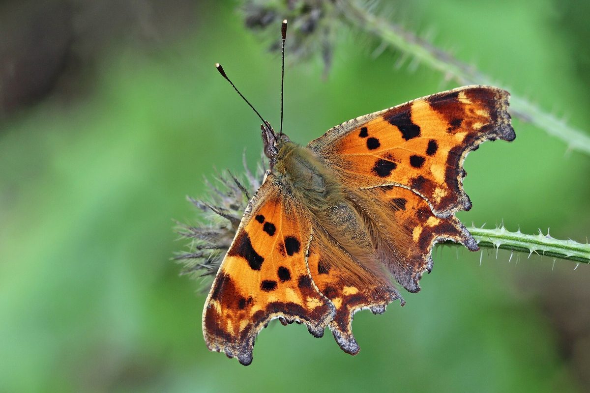
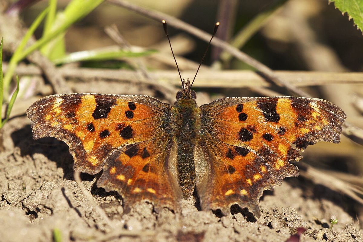
The Comma is recognized by its outline: the wing edges are uneven, as if nibbled, with deep notches. The wingspan is about 4.5–5 cm. The upper side of the wings is reddish with dark brown spots. The underside is brown, resembling a dry leaf, and on the hind wing, a small white mark in the shape of the letter 'C' is clearly visible — hence the name.
With its wings folded, the butterfly resembles a withered leaf, making it hard for birds to spot. The caterpillar also camouflages itself: it has a large white spot on its back, making it look like bird droppings.
In the Carpathians, the Comma lives in forest edges, clearings, along forest roads and streams, in gardens — from the foothills to the upper limit of the forest. Butterflies drink nectar, tree sap, and juice from ripe fruits, and readily settle on damp soil.
There are two generations per year. Summer butterflies of the first generation are lighter, while autumn ones are darker. Adult butterflies hibernate in the forest among dry leaves and branches, so in spring, in March — April, the Comma appears as one of the first.
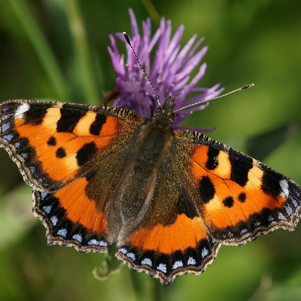
Caterpillars feed on nettles, hops, leaves of elm, willow, and currants. The Comma differs from the nettle butterfly and other reddish butterflies by its notched wing edges and the absence of blue spots along the edge.
Where in the Carpathians

The map shows where naturalists recorded the species (GBIF, CC0 and CC BY records), not every place it lives. The Ukrainian Carpathians are less studied, so a blank area does not mean the species is absent.
- Countries
- Hungary · Romania · Slovakia · Ukraine · Austria · Poland · Czechia · Serbia
- Mountain ranges
- Bükk, Mátra, Börzsöny and Cserhát, Nemira and Bodoc Mountains, High Tatras, Zemplén Mountains, Bucegi Mountains, Vrancea Mountains, Maramureș Mountains, Bihor-Vlădeasa Mountains
- Altitude belts
- Foothills (below 600 m) · Beech forests (600–1200 m)
When to see it
| Jan | Feb | Mar | Apr | May | Jun | Jul | Aug | Sep | Oct | Nov | Dec | |
|---|---|---|---|---|---|---|---|---|---|---|---|---|
| Sightings |
From naturalists’ observations in the Carpathians (iNaturalist, research grade): the darker the cell, the more often the species is seen that month.
Protection and rules
Not included in the Red Data Book of Ukraine.
FAQ
Why is the butterfly called 'C-album'?
On the underside of the hind wing, it has a small white mark in the shape of the Latin letter 'C'.
Does the Comma hibernate as an adult butterfly?
Yes. It hibernates among dry leaves and branches and emerges in the first warm days of March — April.
Similar species
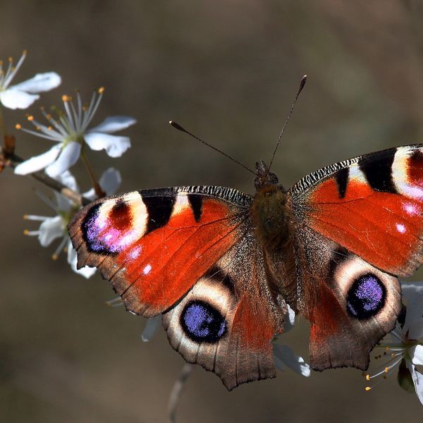
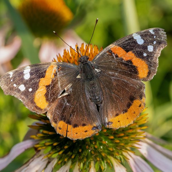
Where to meet it
Trails
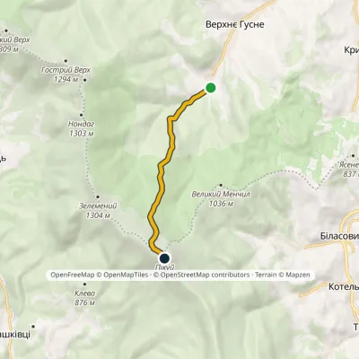 EasyOne-dayMarkedNo. 5020 Verkhnie Husne Mount PikuiElevation profile749–1 408 m5.8 kmascent 662 m≈ 3 h walking
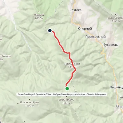 ModerateOne-dayMarkedPreluka tract to Roztoka villagevia Mount Ostra HoraElevation profile839–1 405 m9.5 kmascent 567 m≈ 3.5 h walking
 ModerateOne-dayUzhok village to Mount Velykyi Verkhvia Mount Drohobytskyi Kamin, Mount StarostynaElevation profile569–1 309 m18.2 kmascent 1 159 m≈ 7 h walking
 Hard1–2 daysMarkedBilasovytsia village to Uzhok villagevia Mount Pikui, the Ruska Put Pass +1Elevation profile575–1 408 m37.1 kmascent 1 602 m≈ 12.5 h walking
 ModerateOne-dayLybokhora village to Bilasovytsia villagevia Mount Velykyi Verkh, Mount PikuiElevation profile593–1 408 m21.1 kmascent 882 m≈ 7 h walking
 ModerateOne-dayMarkedPashkivtsi village Mount Hostra HoraElevation profile482–1 345 m5.8 kmascent 872 m≈ 3 h walking
 HardOne-dayMarkedBilasovytsia village to Mount Starostynavia Mount Pikui, Mount Velykyi VerkhElevation profile804–1 408 m22.1 kmascent 1 246 m≈ 8 h walking
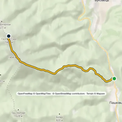 ModerateOne-dayMarkedPashkivtsi Mount HostraElevation profile482–1 405 m6.6 kmascent 979 m≈ 3.5 h walking
 Hard1–2 daysSianky village to Mount Pikuivia Mount Starostyna, Mount Velykyi VerkhElevation profile833–1 408 m31.9 kmascent 1 558 m≈ 11 h walking
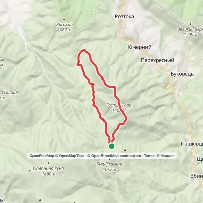 ModerateOne-dayPreluka tract loopvia Mount Ostra Hora, Mount Lysyna +1Elevation profile752–1 405 m18.1 kmascent 874 m≈ 6.5 h walking
 HardMulti-dayLumshory village to Bilasovytsia villagevia Runa polonyna, Voievodyn Waterfall +4Elevation profile449–1 476 m45.2 kmascent 2 892 m
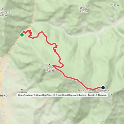 ModerateOne-dayMarkedSynevyr village Mount NehrovetsElevation profile682–1 707 m12.3 kmascent 1 087 m≈ 5 h walking
Waters and waterfalls
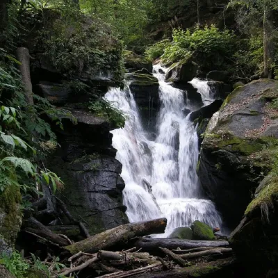 WaterfallVojvodyn waterfallPolianska HutaThe Voyevodyn Waterfall is located on the stream of the same name near the village of Zhdeniyevo in Zakarpattia...
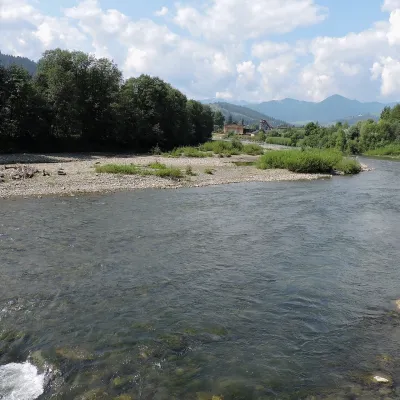 RiverChornyi Cheremosh RiverVerkhovynaThe Chornyi Cheremosh rises south-east of Burkut on the slopes of the Chyvchyn Mountains, the most remote corner of...
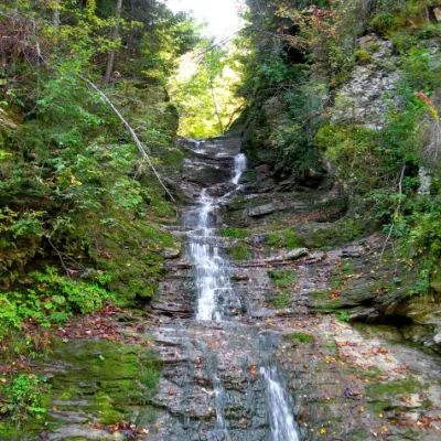 WaterfallBukovinian (Smugar) waterfallsRoztokyA picturesque chain of waterfalls, up to two kilometers long, stretches along the Smuhariv River in Bukovyna, in the...
Mountain ranges: Maramureș Mountains, Gorgany. In other countries: 🇭🇺 Bükk, 🇭🇺 Mátra, 🇭🇺 Börzsöny and Cserhát, 🇷🇴 Nemira and Bodoc Mountains, 🇸🇰 High Tatras, 🇭🇺 Zemplén Mountains, 🇷🇴 Bucegi Mountains, 🇷🇴 Vrancea Mountains, 🇷🇴 Bihor-Vlădeasa Mountains, 🇸🇰 Lesser Fatra, 🇷🇴 Făgăraș Mountains, 🇸🇰 Cerová Highlands
Trails and peaks near which naturalists recorded the species (GBIF, iNaturalist), matched by altitude and habitat. Sightings are not guaranteed.
Sources
- Вікіпедія: Щербатка c-біле
- Wikipedia (en): Polygonia c-album
- iNaturalist: Polygonia c-album (спостереження в Карпатах)
GBIF · iNaturalist · Wikidata · Distribution data: GBIF.org (CC0 and CC BY records), iNaturalist; names and identifiers: Wikidata (CC0). Text: Karpaty.rocks, checked 11.11.2026.
