Mount Heryshaska
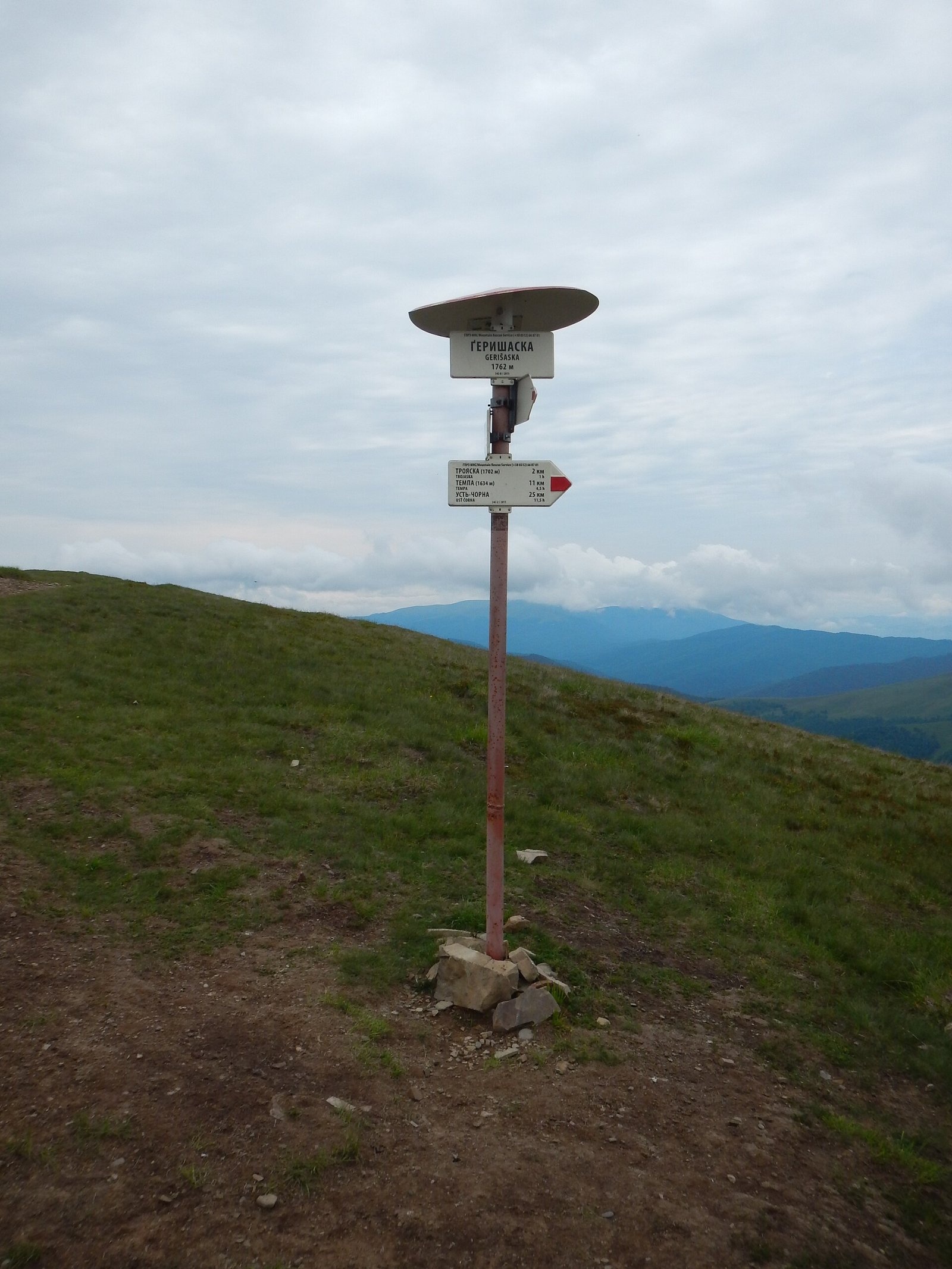
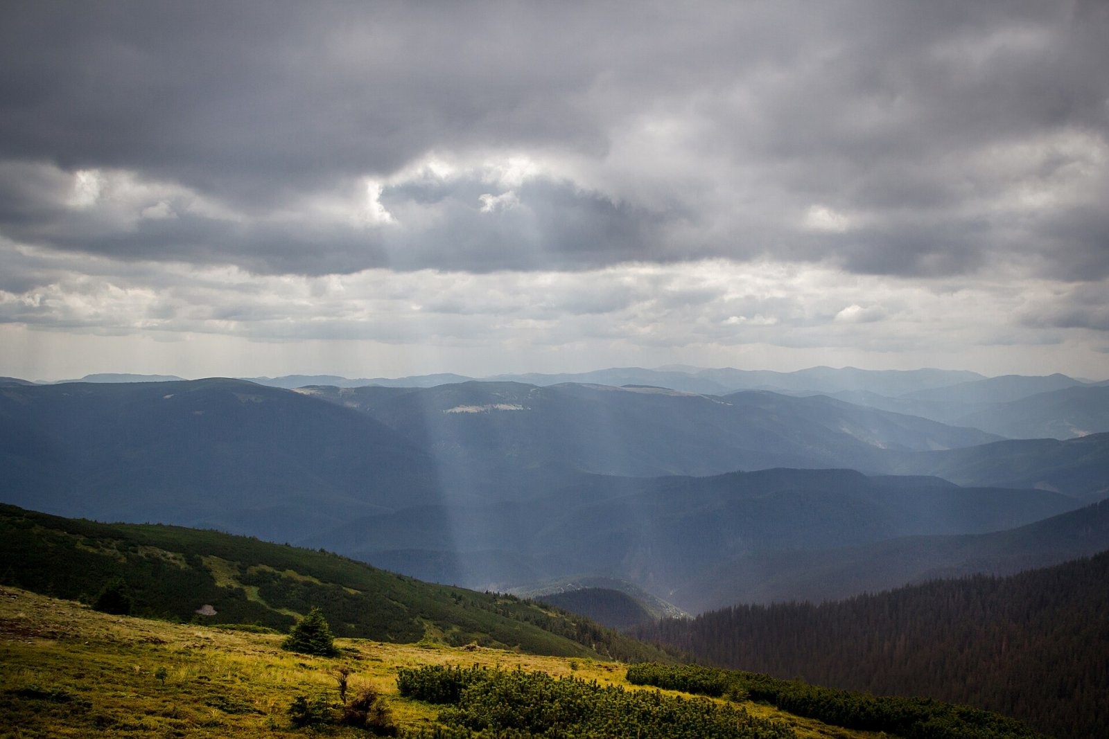
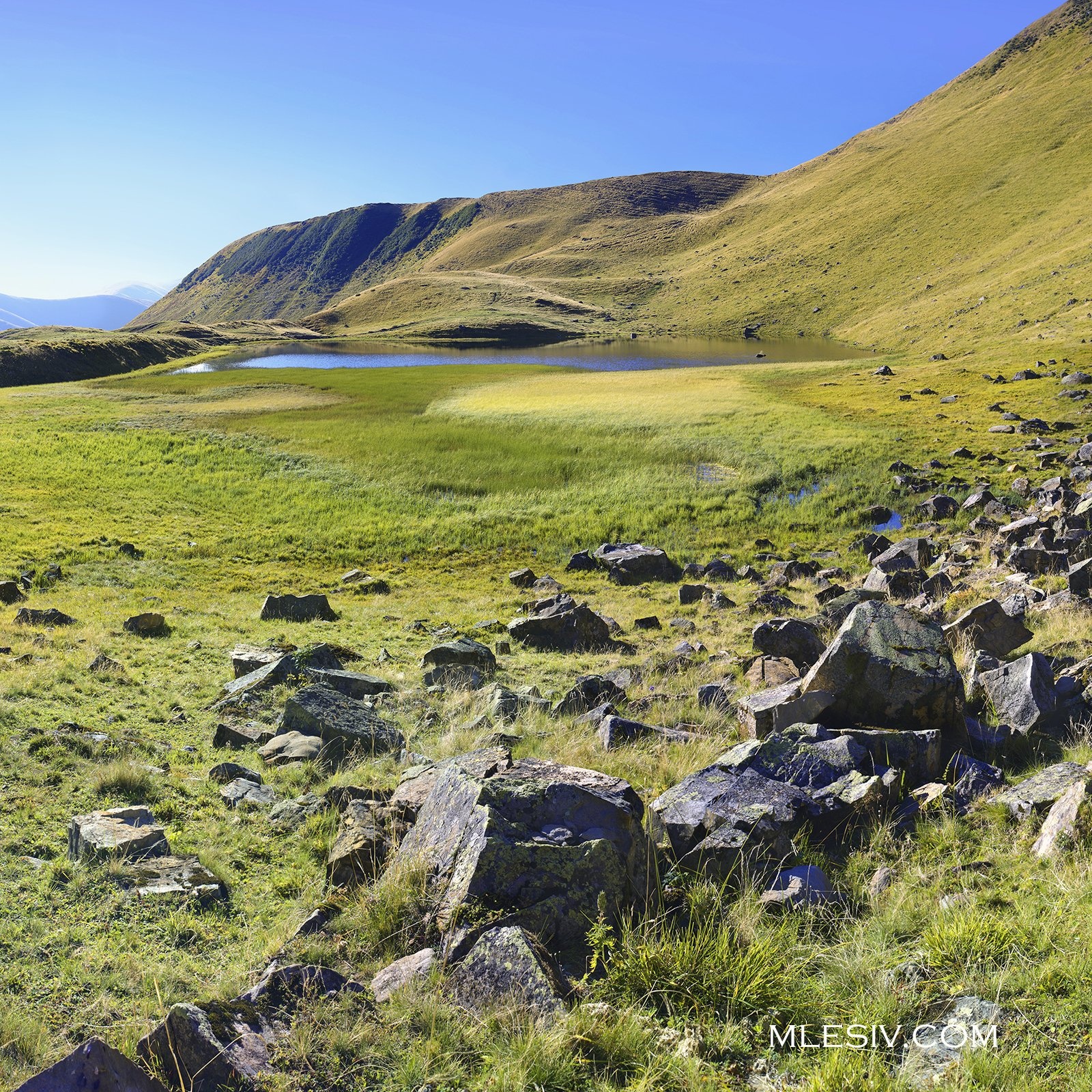
Mount Heryshaska (1762 m) is a summit on the main ridge of the Svydovets range in Rakhiv district, Zakarpattia Oblast. It stands in the central part of the massif, between Trojaska (1702 m) to the west and Vorozheska (about 1731 m) to the east. A long side ridge, the Hlaskulova Plaika, runs south from Heryshaska for some 40 km towards the Tysa. Its highest point is neighbouring Dogyaska (1761 m), only 700 m to the south. The two almost equally high tops are separated by a shallow saddle, the Dohiaska Pass (1725 m), which is why many descriptions and some maps also call the northern, main-ridge summit Dohiaska. OpenStreetMap and Polish Wikipedia treat them as two separate tops: Heryshaska on the main ridge, Dohiaska on the southern spur.
According to Polish Wikipedia (citing PeakVisor), Heryshaska has a prominence of about 110 m, and the nearest higher summit is Tatulska, 3.1 km away.
How to get there / routes
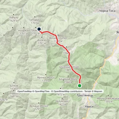
The red-marked Transcarpathian Tourist Trail follows the main Svydovets ridge directly over the summit. Most classic Svydovets traverses — from Yasinia or Chorna Tysa to Kvasy or the other way round — therefore cross Heryshaska. Our catalogue has several routes that pass over the summit or within a few dozen metres of it, including:
- Chorna Tysa village, via Mount Dohiaska, Mount Velykyi Kotel and Mount Blyznytsia to Kvasy village;
- Yasinia, via Mount Tataruka, Mount Dohiaska, Mount Stih and Mount Blyznytsia to Kvasy village;
- Kvasy village, via Mount Blyznytsia, Mount Velykyi Kotel and Mount Dohiaska to the Yablunytsia Pass;
- Mount Berliaska, via Mount Unhariaska and Mount Troiaska to Lake Dohiaska — a route that ends at the lake below the summit.
The nearest villages in our directory, Chorna Tysa and Yasinya, are both about 13 km away as the crow flies, so expect at least a full day's walk, and a night in a tent on a Svydovets traverse. From the south, along the Hlaskulova Plaika, the "Stezhkamy Opryshkiv" cycling route climbs to the summit and turns east there. Water is available from springs on the slopes; the nearest in our directory are Spring below Mount Dohiaska (13) (about 280 m from the top) and Spring below Mount Dohiaska (19). Their condition has not been checked, so carry a reserve.
The view from the summit
Heryshaska is open and treeless, and the panorama is very wide. To the north-west you can see the Borzhava (Stii, Zhyd-Mahura, Kuk) and Krasna (Syhlanskyi, Topas, Menchul) ridges; to the north and north-east most of the Gorgany, including Strymba, Nehrovets, Popadia, Moloda, Hrofa, Ihrovets, Syvulia, Bratkivska and Dovbushanka. To the south-east rises Chornohora with Hoverla, Petros, Brebeneskul and Pip Ivan, and to the south the Marmarosh massif — on a clear day even the Rodna and Țibleș mountains in Romania. In the foreground are the neighbouring Svydovets summits: Unhariaska, Troiaska, Tataruka, Vorozheska, Tatulska, the Zhandarmy, Blyznytsia and Dohiaska.
Nature and history
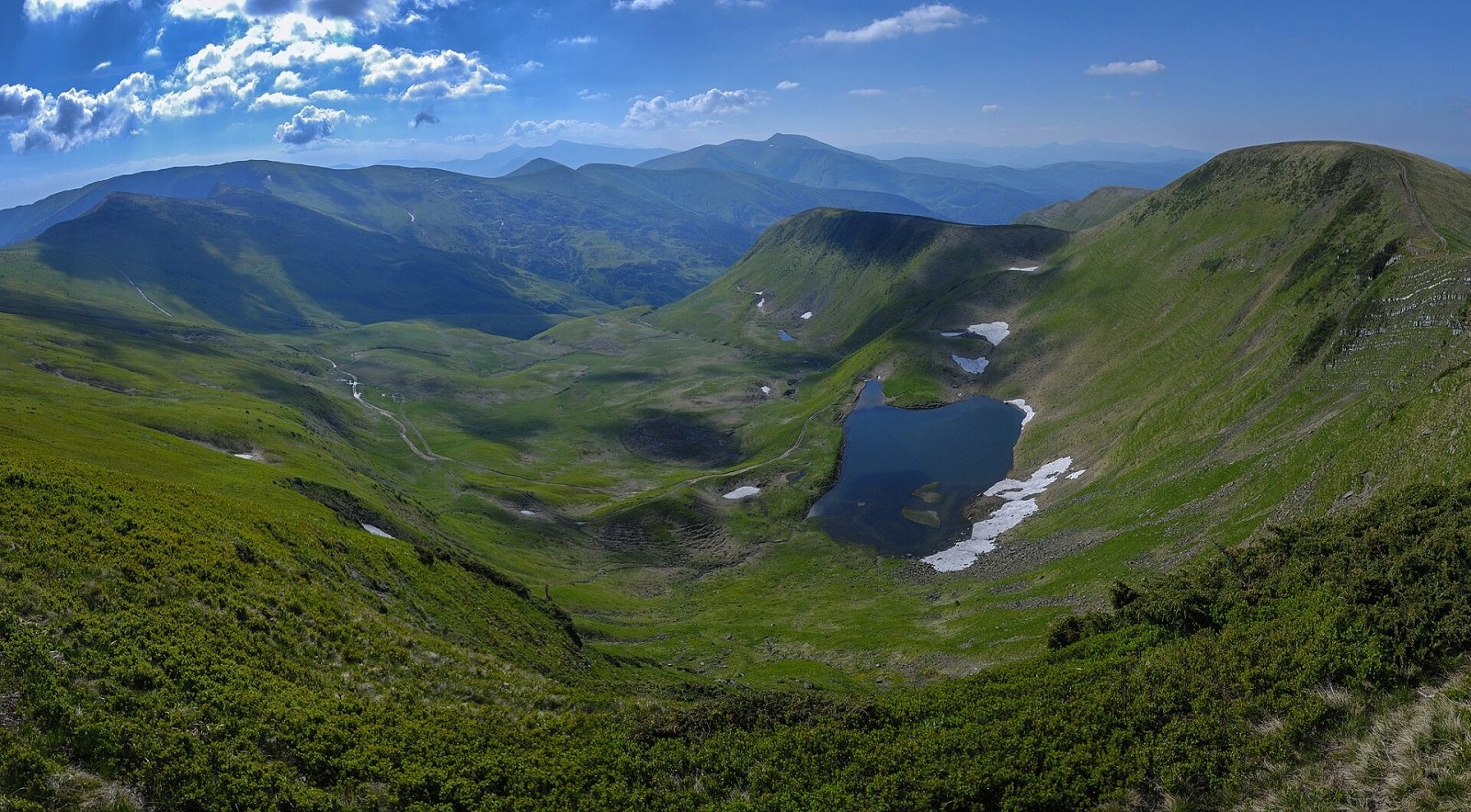
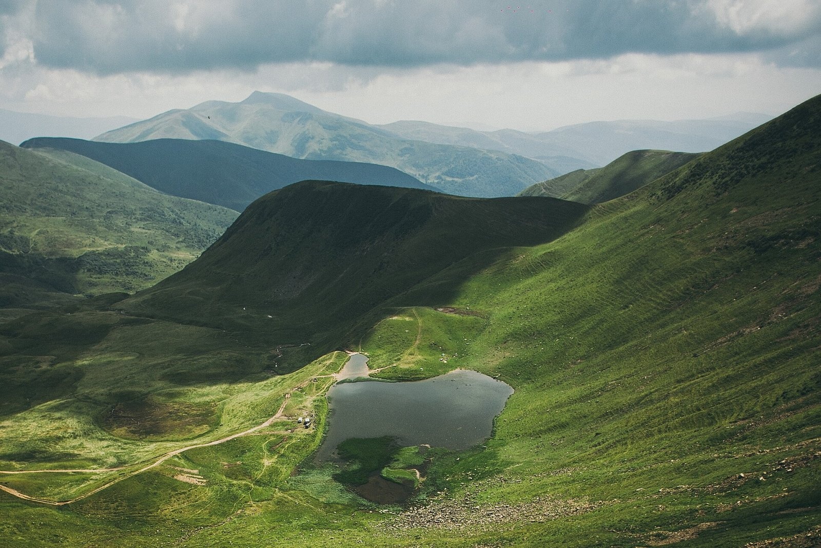
The northern slopes drain into the Apshynets stream, which flows out of the lake of the same name between Heryshaska and Troiaska. South of the main ridge lie two valleys separated by the Hlaskulova Plaika: the Serednia Rika to the west and the Kosivska to the east. The Kosivska rises in Lake Herashaska (also called Dohiaska or Hereshavske), which sits on the floor of a glacial cirque at 1577 m. The cirque walls below Heryshaska and Dohiaska drop in cliffs more than 150 m high. The lake is about 125 m long and 110 m wide, shallow (up to 1.2 m deep) and fed mainly by snowmelt; since 1984 it has been protected as a local hydrological natural monument.
The summit area holds the only documented site in Ukraine of the rare plant Bupleurum ranunculoides (buttercup-leaved hare's-ear). Even so, the summit itself is not part of any protected area: the boundary of the Carpathian Biosphere Reserve lies about 3 km away, and in the 2010s scientists proposed creating a "Central Svydovets" landscape reserve here.
The name is not standardised: the forms Gheryshaska, Ghereshaska, Heryshaska, Hereshaska and Herashaska (the last mostly for the lake) all occur. Its origin is uncertain; one suggestion links it to "Herash", a local Transcarpathian form of the name Herasym (Gerasimus).
Safety, season and rules
The best time to go is from late June to early October. The Svydovets crest is treeless, so there is no shelter from storms, wind or fog; summer thunderstorms often build in the afternoon, so aim to be on the ridge in the morning. In fog it is easy to confuse Heryshaska with Dohiaska and drop off the main ridge onto the southern spur — stay with the red waymarks and a map. In winter the slopes above the cirque are prone to avalanches, and the ridge is only for experienced, well-equipped parties.
The summit lies outside the reserve, but protected areas are close by: do not pitch tents or light fires on the lake shores, and take your rubbish home. In an emergency call 112 or 101 (State Emergency Service); mountain rescue contacts are listed under mountain rescue.
Interesting facts
- Heryshaska is just 1 m higher than neighbouring Dohiaska — 1762 m against 1761 m.
- The Hlaskulova Plaika, a side ridge about 40 km long, begins at the summit.
- Lake Herashaska below the summit lies in a glacial cirque dammed by a moraine.
Photos: Wikimapia user major_hawk (Вольдемар Медведченко), CC BY-SA 3.0; Zysko serhii, CC BY-SA 4.0; Nata Mostova, CC BY-SA 4.0; Borys Viktjuk, CC BY-SA 4.0; Тарас Лесів, CC BY-SA 4.0; Daniel Baránek, CC BY-SA 3.0 — Wikimedia Commons.
Location on the map
Water and shelter nearby
- Spring below Mount Dohiaska (13)280 m · Not verified · 1 658 m
- Spring below Mount Dohiaska (19)310 m · Not verified · 1 595 m
- Spring below Mount Dohiaska (16)490 m · Not verified · 1 532 m
- Spring below Mount Dohiaska (11)590 m · Not verified · 1 622 m
- Spring below Mount Dohiaska600 m · Not verified · 1 580 m
- Spring below Mount Troiaska (7)710 m · Not verified · 1 530 m
- Spring below Mount Troiaska (9)730 m · Not verified · 1 442 m
- Spring below Mount Troiaska (6)850 m · Not verified · 1 487 m
- Spring below Mount Troiaska (5)1.1 km · Not verified · 1 552 m
- Spring below Mount Dohiaska (12)1.1 km · Not verified · 1 595 m
- Spring below Mount Dohiaska (26)1.2 km · Not verified · 1 682 m
- Spring below Mount Dohiaska (10)1.3 km · Not verified · 1 539 m
- Spring below Mount Dohiaska (9)1.4 km · Not verified · 1 530 m
- Spring below Mount Dohiaska (4)1.4 km · Not verified · 1 487 m
- Spring below Mount Dohiaska (7)1.4 km · Not verified · 1 506 m
- Spring below Mount Dohiaska (8)1.5 km · Not verified · 1 514 m
Comments
Places to stay nearby
All stays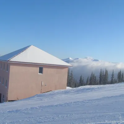 HotelHomestead "Malva"Drahobrat6.1 km from Mount HeryshaskaTransferNearby: Mt Stih 900 mPolonyna Drahobrat 900 m9 trails
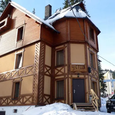 HotelHotel "U Stozi" (Dragobrat - Yasinya)Yasinya6.4 km from Mount HeryshaskaBBQParkingWi‑FiNearby: Polonyna Drahobrat 500 mMt Stih 1.2 km9 trails
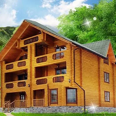 HotelHotel "Kazka Karpat" DragobratYasinya6.5 km from Mount HeryshaskaTransferNearby: Polonyna Drahobrat 400 mMt Stih 1.3 km9 trails
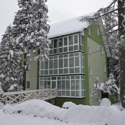 HotelHotel "Zelena Dacha" DragobratYasinya6.6 km from Mount HeryshaskaPoolSaunaBBQNearby: Polonyna Drahobrat 200 mMt Stih 1.5 km9 trails
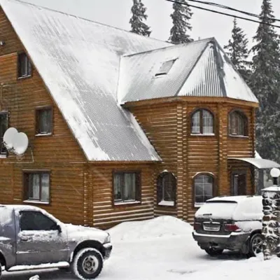 HotelHotel "Velyka Vedmedytsia" DragobratDrahobrat6.6 km from Mount HeryshaskaSaunaKitchenParkingNearby: Polonyna Drahobrat 200 mMt Stih 1.5 km9 trails
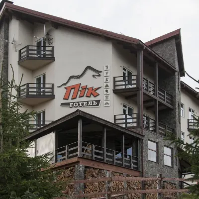 HotelHotel "PiK" DragobratYasinya6.9 km from Mount HeryshaskaHot tubSaunaKitchenNearby: Polonyna Drahobrat 500 mMt Bliznytsia 2.7 km9 trails
Trails nearby
All trails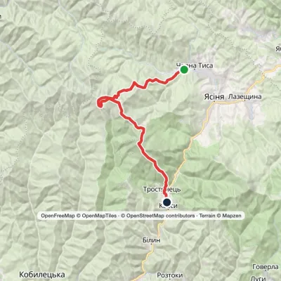 HardMulti-dayChorna Tysa village to Kvasy villagevia Mount Dohiaska, Mount Velykyi Kotel +1Elevation profile546–1 874 m36.8 kmascent 1 961 m≈ 13 h walkingunder 1 km from Mount Heryshaska
 ModerateTwo-dayMarkedBraivka polonyna to Lake Apshynetsvia Mount BlyznytsiaElevation profile1 185–1 876 m16.2 kmascent 969 m≈ 6 h walkingunder 1 km from Mount Heryshaska
 HardMulti-dayYasinia to Kvasy villagevia Mount Tataruka, Mount Dohiaska +2Elevation profile535–1 874 m62.2 kmascent 2 521 munder 1 km from Mount Heryshaska
Nearby attractions
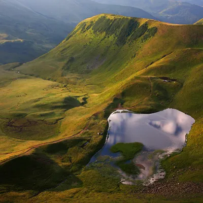 LakeLake Gereshaska (Dogyaska)Yasinyaunder 1 km from Mount HeryshaskaGerashaska (another name - Dogyaska ) is a high-mountain lake in the Ukrainian Carpathians, within the Rakhiv district of Zakarpattia region.
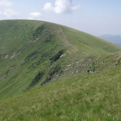 PeakMount DogyaskaChorna Tysaaltitude 1 761 m · Svydovets rangeunder 1 km from Mount Heryshaska38 trails to the topDogyaska is a peak in the Ukrainian Carpathians, located in the central part of the Svydovets mountain range.
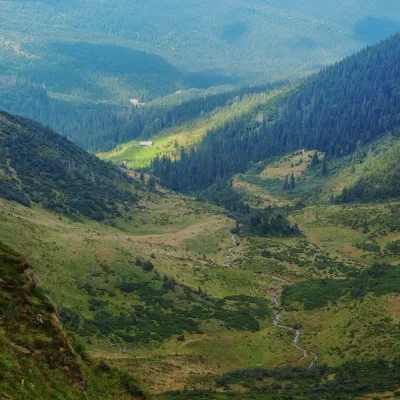 Mountain meadowPolonyna ApshynetsChorna Tysaaltitude 1 200 m · Svydovets range2.1 km from Mount HeryshaskaApshynets polonyna (Apshyniaska) is a pasture in the upper reaches of the Apshynets stream on the northern slopes of the main Svydovets ridge, in the Rakhiv district...
Craft nearby
All craft places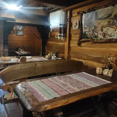 Koliby & Hutsul cuisineU Rizbaria Café, YasiniaYasinya15 km from Mount HeryshaskaU Rizbaria Café (“At the Woodcarver’s”) in Yasinia is a small Hutsul place serving home cooking that travellers usually find by word of mouth.
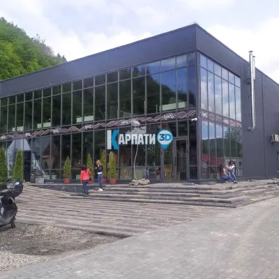 Craft beer & breweriesTsypa Brewery, KvasyKvasy16 km from Mount HeryshaskaThe Tsypa Hutsul craft brewery in Kvasy is probably the best-known brewery in the Ukrainian Carpathians.
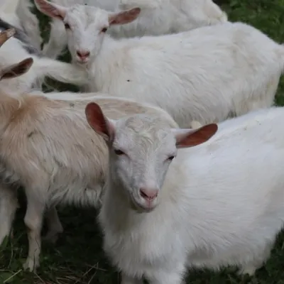 Eco farmsRozental Eco-Farm and Cheese Dairy, KvasyKvasy16 km from Mount HeryshaskaBeer and cider are brewed here, sheep's-milk ice cream is made, and in the Vaskul area above the village sits the Rozental eco-farm and cheese dairy.
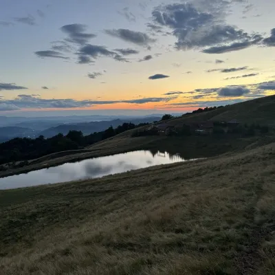 Cheese dairies & pasturesSheep's Cheese Masterclass on the Apetska Polonyna, VodytsiaVodytsia19 km from Mount HeryshaskaThe Apetska polonyna is a broad high-mountain pasture on the southern slopes of the Svydovets range, below Mount Apetska (1,512 m).
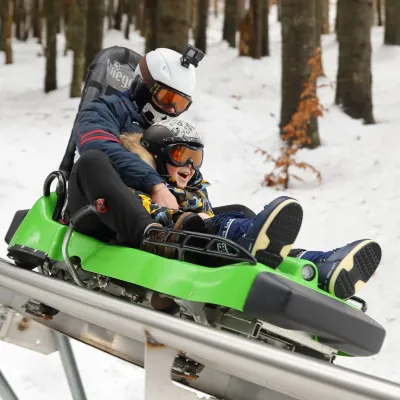 Adventures & attractionsSpeed Fun rodelbahn (mountain coaster), BukovelPolianytsia (Bukovel)20 km from Mount HeryshaskaSpeed Fun rodelbahn is a rail-mounted mountain coaster in Bukovel, Ukraine's first all-weather ride of its kind, built by the German company Wiegand.
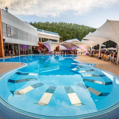 Water parks & thermal poolsVODA club spa and beach club, BukovelPolianytsia (Bukovel)21 km from Mount HeryshaskaVODA club is a large all-season pool, spa and beach club complex on the shore of Lake Molodosti in Bukovel (Polianytsia village).
