Mount Trojaska
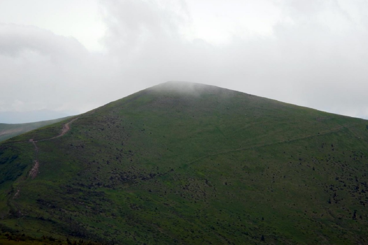
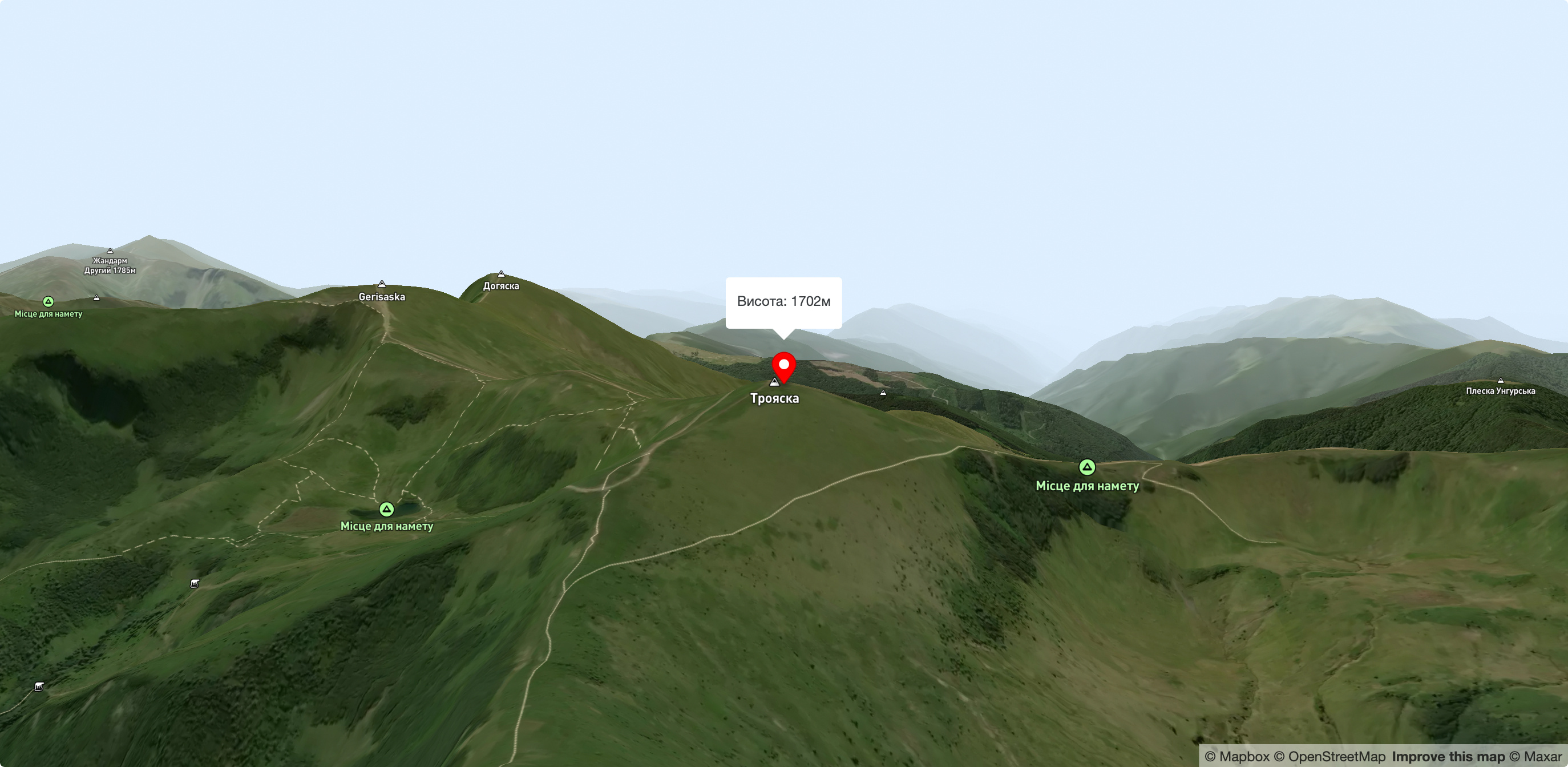
Troiaska is a 1702-meter peak of the Ukrainian Carpathians. The mountain is located in Rakhiv district of Zakarpattia region within the central part of the Svydovets mountain range.
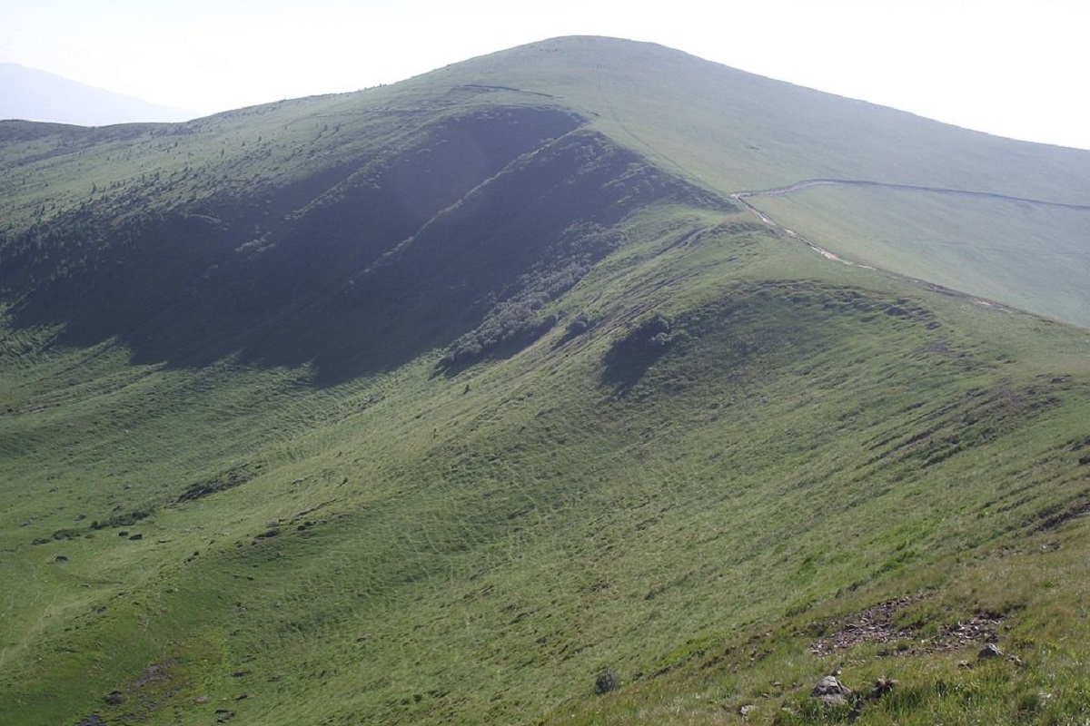
The slopes of Troyaska are steep in the east and northeast directions, and gentle in the south.
Up to 1300-1400 meters, the peak is covered with centuries-old beech and coniferous forests and crooked woods, and above this mark - with meadows.
In the northern direction, Mount Trojaska is adjoined by a bridge leading to Mount Tataruk, to the west is Mount Ungaryaska, to the southeast is Mount Dogyaska, and to the east is the high-mountain lake of glacial origin Apshynets, which is located at an altitude of 1487 meters above sea level.
To the northeast of Mount Troiaska is the Apshynets Hydrological Reserve of national importance.
The nearest settlement is the village of Chorna Tysa (Rakhiv district, Zakarpattia region).
Accommodation around Mount Trojaska:


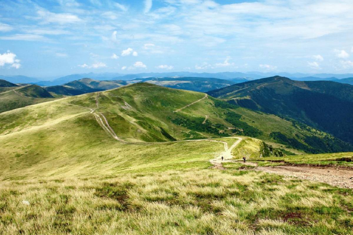
Nearby hiking trails near Mount Trojaska:
Які маршрути проходять повз Mount Trojaska?
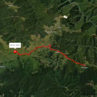
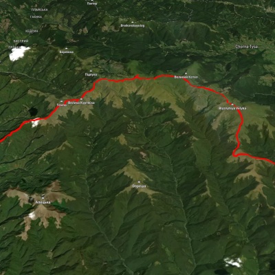
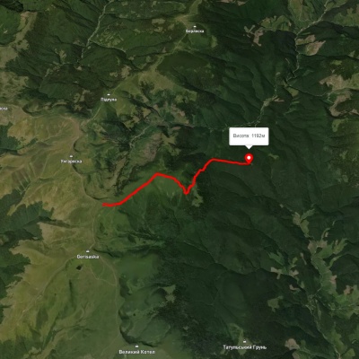
Пропонуємо пройти такі туристичні (пішохідні) маршрути через/біля Mount Trojaska: г. Берляска, через г. Унгаряска, г. Трояска до оз. Догяска, с. Красна, через г. Темпа, г. Унгаряска, г. Великий Котел, г. Близниця до с. Кваси, Околе - Трояска, смт. Ясіня, через г. Стіг, г. Трояска, г. Підпула до с. Лопухів, с. Бистриця, через г. Братківська, пер. Околе, хр. Свидовець, хр. Апшинець, Драгобрат до смт. Ясіня, Драгобрат, через г. Великий Котел, г. Логяска, г. Трояска до с. Чорна Тиса