Mount Tataruka
Mount Tataruka is the peak of the Ukrainian Carpathians, located in the northern part of the Svydovets mountain range. It is located on the border of two districts of Zakarpattia region - Tyachiv and Rakhiv.
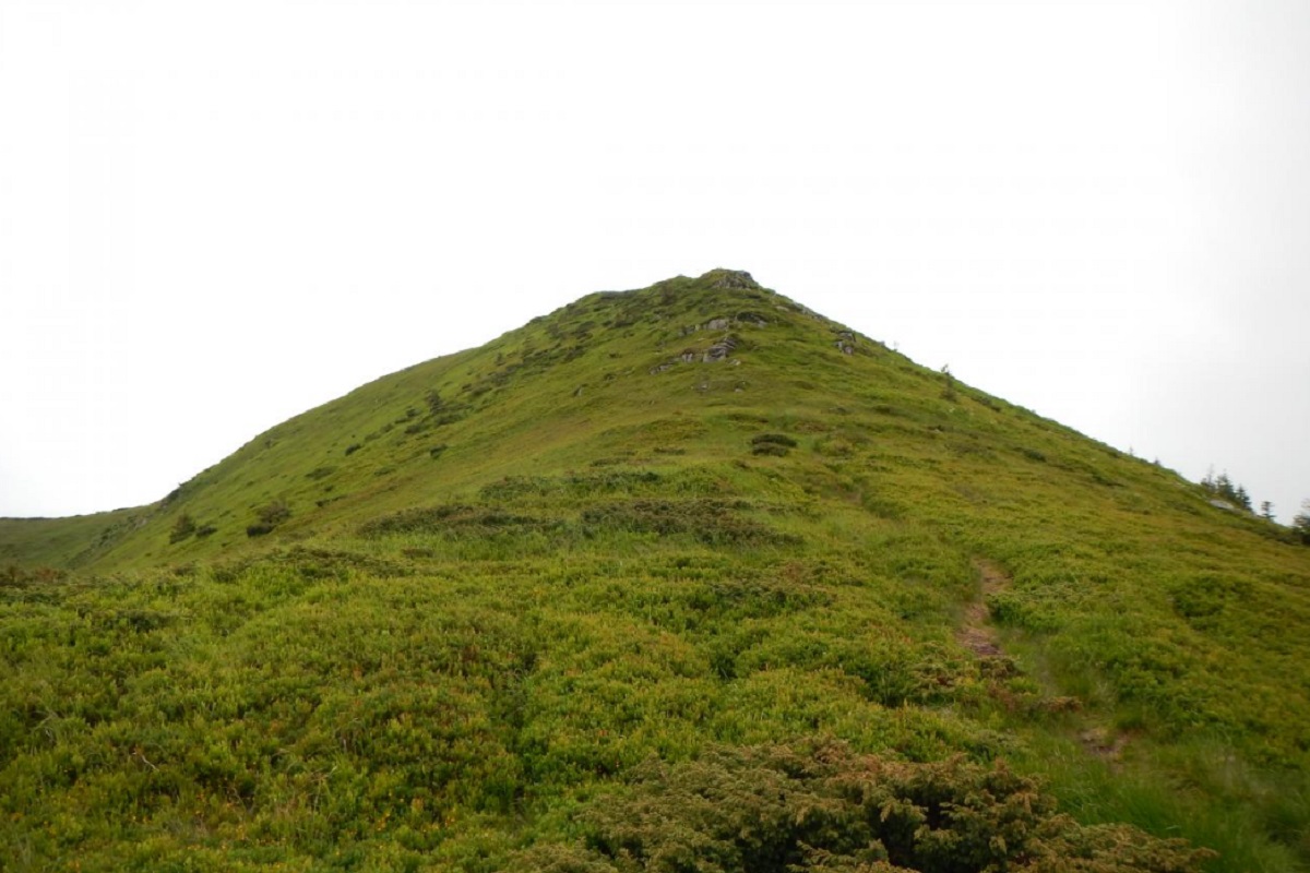
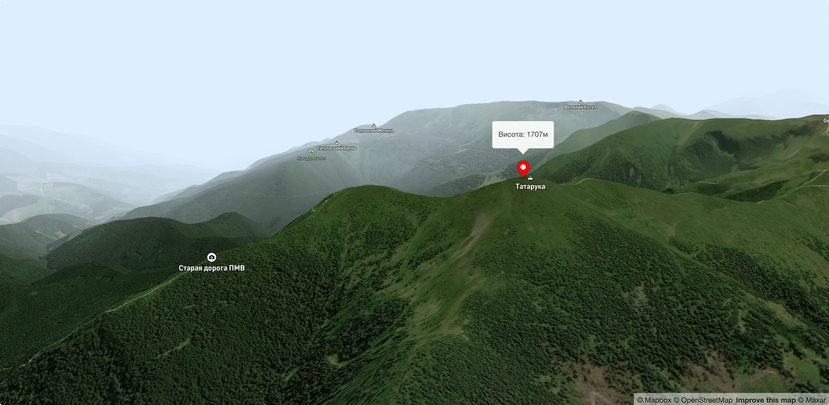
The height of Tatarukha is 1707 meters (according to other information, 1711 meters).
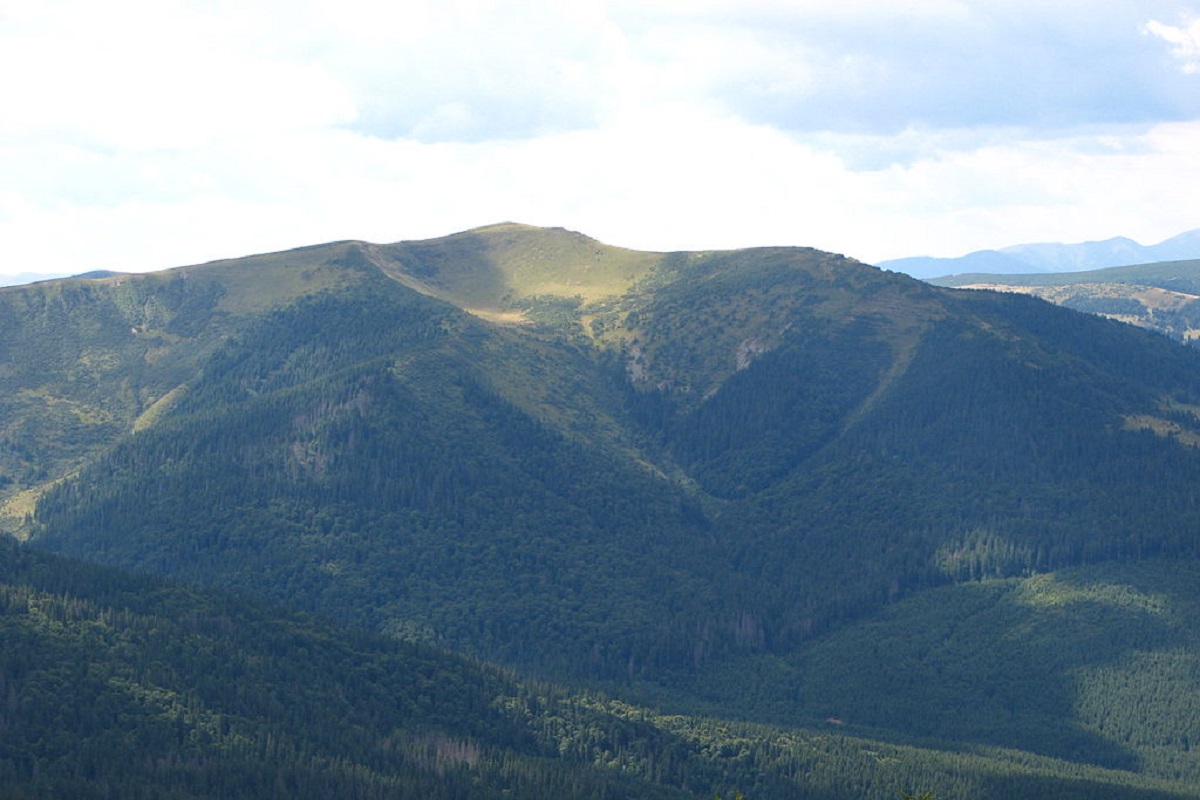
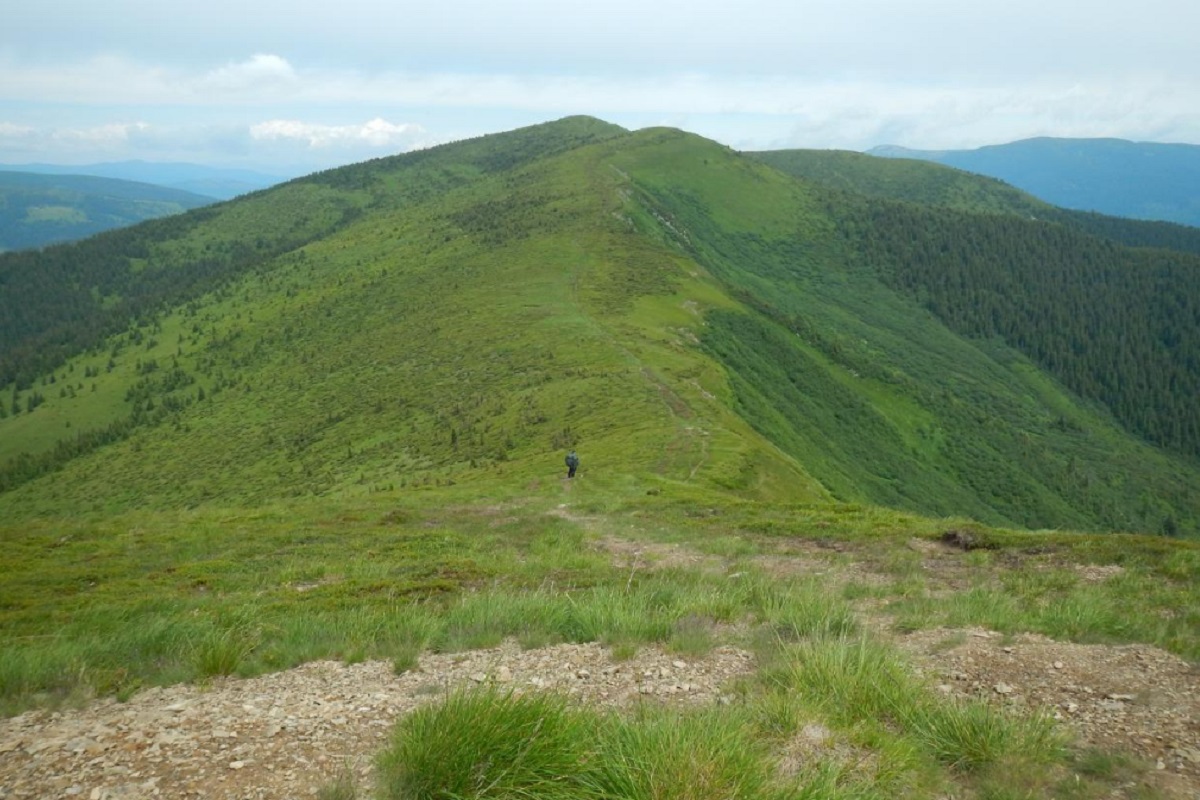
The peak and the summit part of the mountain are covered with grasses, blueberry and alpine pine thickets. The slopes in the eastern direction are very steep and difficult to pass, while in the southern direction they are gentler.
From the south, Tataruky is adjacent to a bridge that leads to Mount Troiaska. To the west of the peak is Mount Pidpula, to the southeast - Mount Dogyaska and the high-mountainous Lake Apshynets, located at an altitude of 1487 meters above sea level.
On the eastern slopes of the peak is the Apshynets Nature Reserve, a hydrological reserve of national importance, and on the northeastern slopes are the sources of the Black Tisza River.
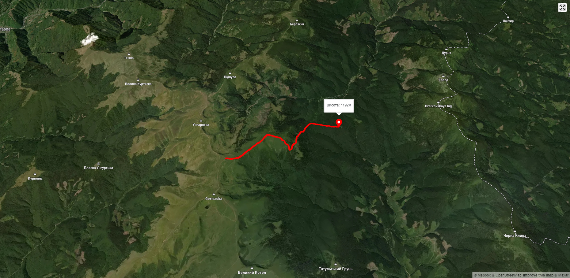
A popular tourist route passes through Mount Tataruk, leading from Mount Bratkivska through the Okole Pass to the main Svydivets ridge (Mount Troiaska).
The nearest settlement is the village of Chorna Tysa (Rakhiv district , Zakarpattia region).
Accommodation around Mount Tataruka:


Nearby hiking trails near Mount Tataruka:
Які маршрути проходять повз Mount Tataruka?
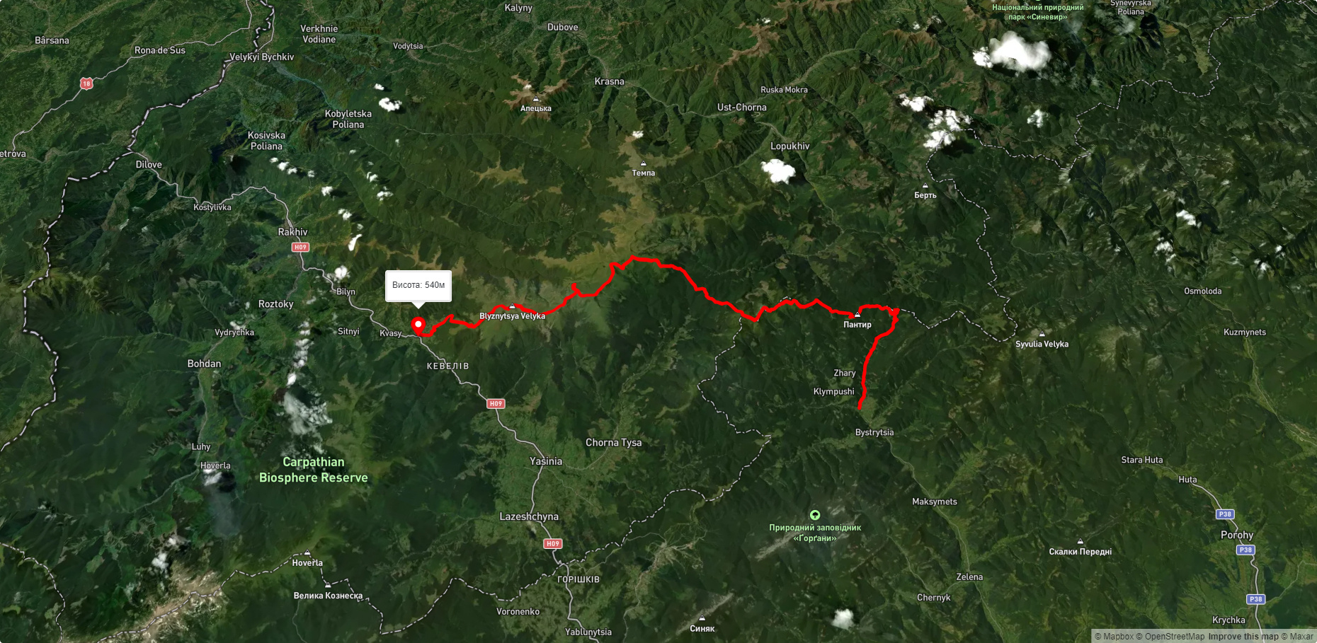
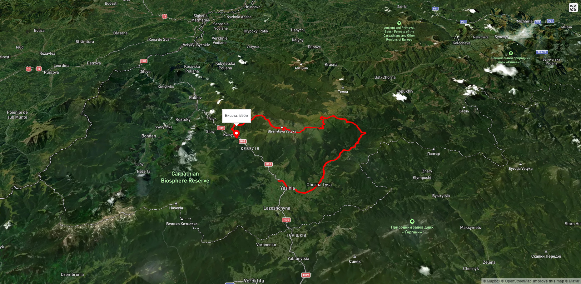
Пропонуємо пройти такі туристичні (пішохідні) маршрути через/біля Mount Tataruka: Околе - Трояска, с. Бистриця, через г. Дурня, г. Братківська, г. Татарука, г. Близниця до с. Кваси, смт. Ясіня, через г. Татарука, г. Догяска, г. Стіг, г. Близниця до с. Кваси, с. Чорна Тиса, через г. Догяска, г. Трояска, г. Татарука до с. Чорна Тиса, смт. Ясіня, через г. Чорна Клева, г. Братківська, г. Догяска, г. Близниця до с. Кваси, с. Кваси, через г. Близниця, г. Братківська, г. Чорна Клева, с. Чорна Тиса до смт. Ясіня