Polonyna Drahobrat
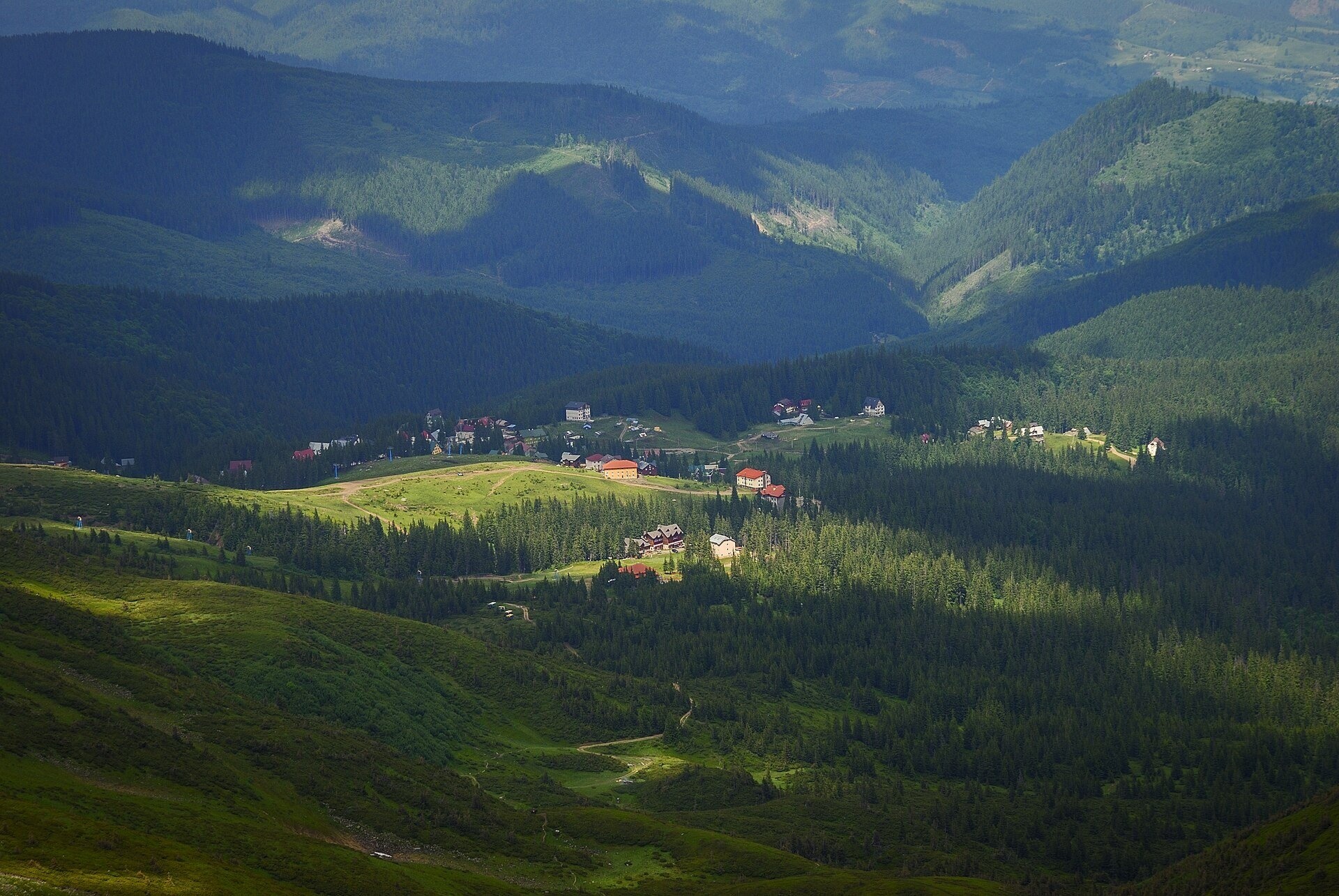
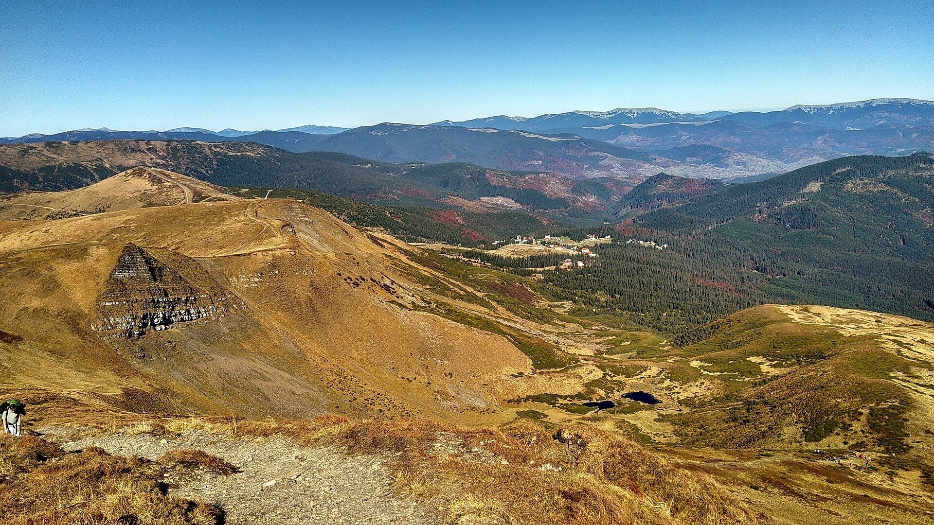
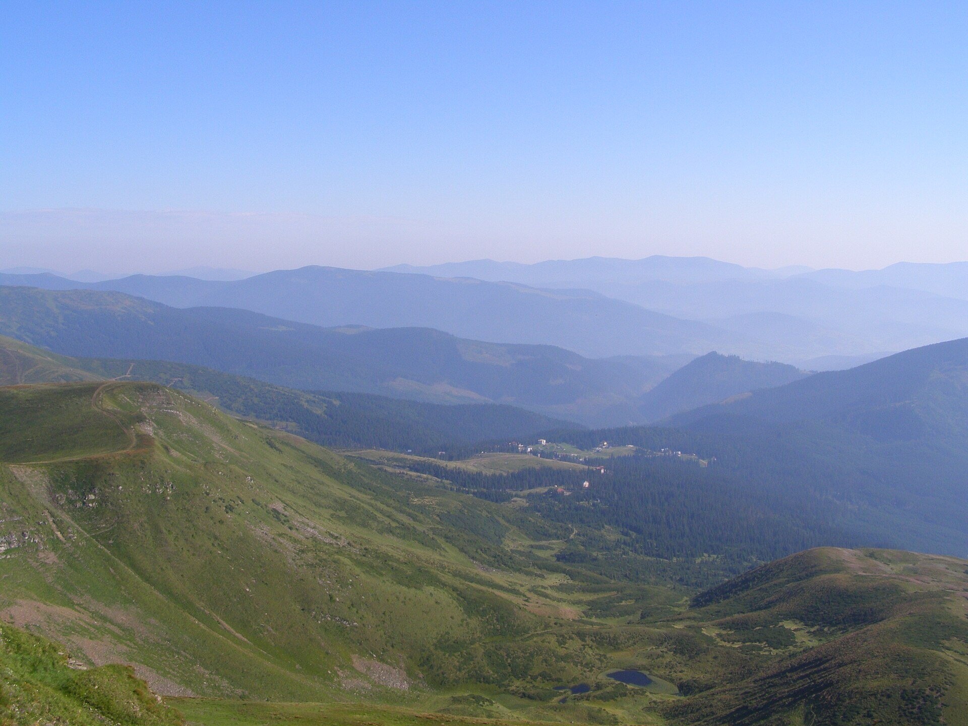
Drahobrat is a high polonyna (mountain pasture) on the northern slopes of the Svydovets massif in the Rakhiv district of Zakarpattia, at the foot of Mount Stih (1,704 m) and Mount Drahobrat, or the First Zhandarm (1,763 m). The valley lies at 1,300–1,400 m, while the buildings and slopes reach about 1,700 m. From the village of Yasinia it is 9–12 km along a mountain dirt road that only four-wheel-drive vehicles can manage.
Today most people know Drahobrat as the highest ski resort in the Ukrainian Carpathians, with more than fifty hotels and cottages, T-bar lifts and chairlifts. We cover the winter resort separately in our article "Drahobrat ski resort". This page is about the polonyna itself and summer hikes from here.
What you will see
Drahobrat sits in a horseshoe-shaped basin on the border between spruce forest and the subalpine belt. Above it rise the grassy slopes of Stih, the rocky Zhandarms and the massif of Blyznytsia (1,883 m), the highest summit of Svydovets, about 2.5 km from the resort. From the slopes you can clearly see Chornohora with Hoverla (2,061 m) and Petros (2,020 m), and to the north the waves of the Gorgany with Dovbushanka (1,754 m) and Syniak (1,662 m).
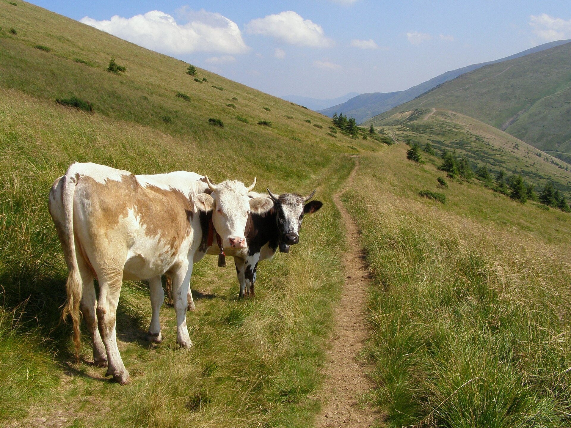
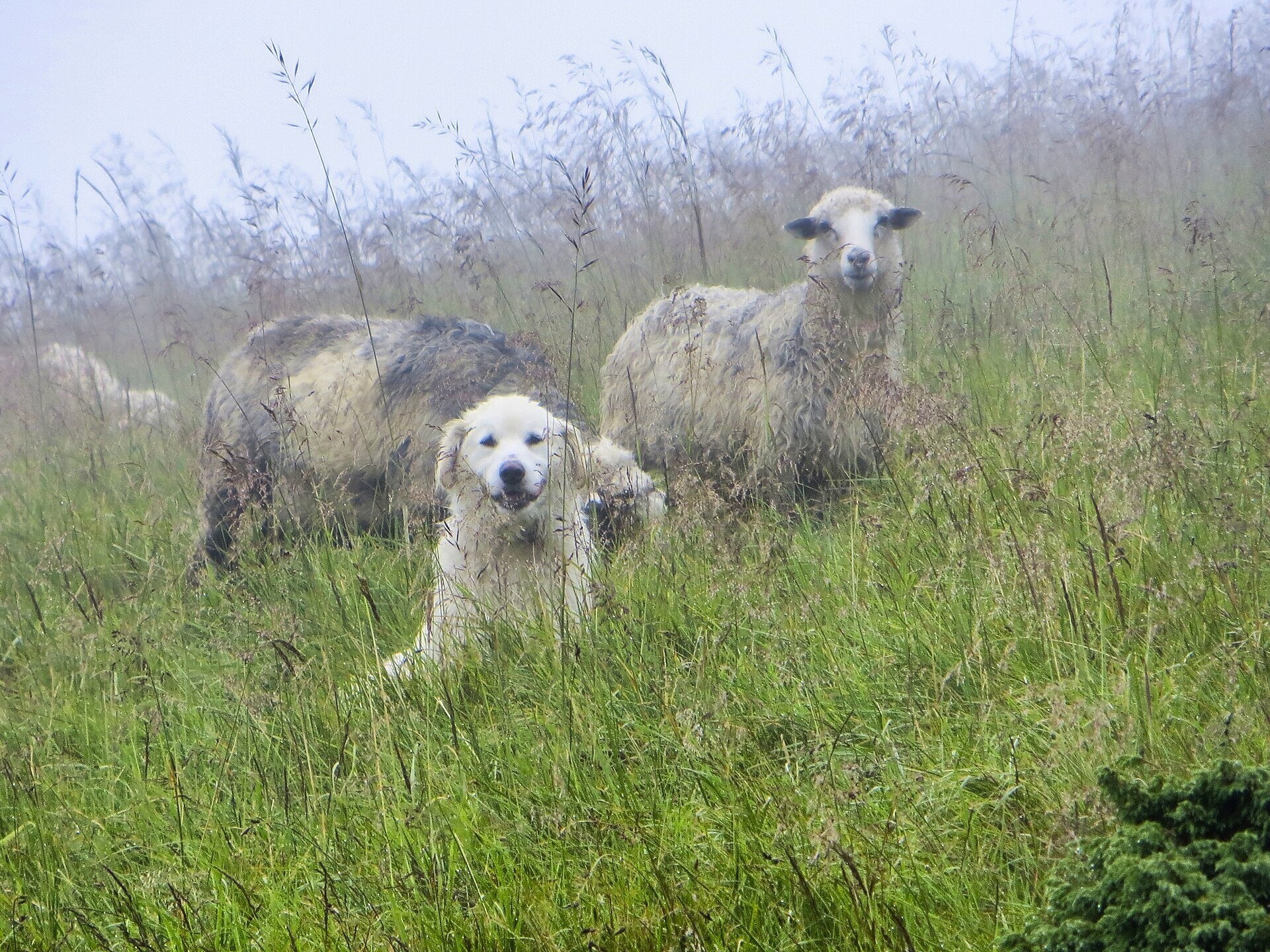
In summer the polonyna is green, and cows and sheep still graze on the slopes above the resort, as photos from different years show. Higher up, on Blyznytsia, lies the botanical natural monument "Blyznytsia Rocks" with edelweiss and other rare plants. In autumn the slopes turn russet, and snow comes early and stays long: the shadow of Blyznytsia hides the valley from the sun, so snow cover lasts from November until May.
Shepherds, huts and cheese
According to researchers, the name "Drahobrat" means "a clearing": it was once an ordinary polonyna on land cleared of forest, where sheep were grazed, hay was mown and cheese was made. The polonyna itself turned into a resort long ago, and sources do not mention working sheepfolds inside the built-up area. But shepherd life is close by: lower down, on the Krachuniaska polonyna with its hut, a shepherd makes budz and vurda in summer the traditional way, and local people buy cheese from him for the winter. There are cheese huts on neighbouring polonynas of the main ridge too, including Vorozheska. Nobody can tell in advance whether a particular hut is working this season, so ask locally. When buying cheese, approach the sheepfold along the path, call the owner and do not walk into the pen on your own.
History and legends
The first recreational building on the polonyna was the Drahobrat shelter, built in 1956; it still stands. In 1980 Moscow University built an avalanche laboratory and the first lift here; the laboratory burned down in 1991. In the 1990s the property was bought by former ski athletes, the resort welcomed its first tourists in 1996–1997, and in 2003 a master plan for the polonyna was approved. Since then construction has grown mostly haphazardly. Plans for a huge resort on Svydovets are still the subject of disputes and court cases, and the civic movement "Free Svydovets" campaigns to preserve the polonynas.
Down in Yasinia people tell the legend of the shepherd Ivan Struk, whose flock survived a sudden winter in a fold made of ash wood; in gratitude he built a church, today the Strukivska Church, and the shepherd with his flock appears on the village coat of arms.
Routes
- Yasinia to Drahobrat. An ascent along the dirt road and a path with green waymarks, about 10 km; see our route "Yasinia – Drahobrat". Many people save their strength and ride up by off-road vehicle.
- Drahobrat – Blyznytsia – Drahobrat. The most popular out-and-back hike: past Lake Ivor to Blyznytsia and back. According to hikers, the descent from Blyznytsia to Drahobrat takes less than an hour. Route: "Drahobrat – Mt Blyznytsia – Drahobrat".
- Through Drahobrat to Kvasy. Yasinia – Drahobrat – Blyznytsia – Kvasy, the classic crossing of Svydovets: the route from Yasinia to Kvasy.
- Two-day loop. Yasinia – Drahobrat – Lake Ivor – Blyznytsia – Zhandarms – Stih – Velykyi Kotel – Chorna Tysa: about 33 km and 1,400 m of ascent, with a night at Lake Ivor or Lake Vorozheske. A similar option: from Yasinia via Drahobrat, Stih and Velykyi Kotel.
- Main ridge. The red-marked Svydovets traverse from Ust-Chorna to Yasinia (about 51.5 km) passes through Drahobrat; a lakes route: from Chorna Tysa via Drahobrat and lakes Vorozheske, Dohiaska and Apshynets.
If you do not hike, Drahobrat is still worth the trip: an off-road vehicle takes you right onto the polonyna, and short walks along the slopes of Stih give wide views without a hard climb. In winter the lifts run; whether any of them works in summer depends on the season — hikers report both, so check locally.
Getting there
You can reach Yasinia by train on the Ivano-Frankivsk – Rakhiv line or by bus. From there a mountain dirt road leads up to Drahobrat; it is often washed out by the Svydovets stream, so ordinary cars do not go up. Visitors advise leaving your car in Yasinia and booking a transfer by off-road vehicle or truck, which locals call the "Drahobrat taxi".
When to go and weather
The best months for hiking are July to September, when the polonynas are free of snow; in June there may still be snowfields on the slopes of Blyznytsia. Blueberries ripen on the ridge in late summer. The ski season lasts from November to mid-May. The weather on the open ridge changes fast: in summer fog and thunderstorms are frequent, in autumn strong wind and early snow.
Water, shelters and overnight
There are several springs on the way up from Yasinia, and above the resort you will find a spring below Mount Stih and other springs on the slopes of Stih; some of them weaken in summer, so allow time to fill your bottles. Nearby are the Spartak shelter and the old hut. You can stay in the hotels and cottages of Drahobrat itself or down in Yasinia; hikers pitch tents by Lake Ivor, although there are few comfortable spots and no firewood.
Safety
- Near flocks keep your distance from the animals and do not run from sheepdogs — stop calmly and call the shepherd.
- There is no shelter from thunderstorms and fog on the ridge; start early, follow the forecast and carry an offline map — waymarking is poor in places.
- Memorial plaques on Blyznytsia and the First Zhandarm recall hikers who died of hypothermia, falls and under snow. In winter the slopes off the pistes are prone to avalanches.
- South of the resort begins the Svydovets section of the Carpathian Biosphere Reserve: do not pick plants and do not leave litter.
- In an emergency call 112 or 101 — the mountain search and rescue service of the State Emergency Service; ambulance — 103.
What visitors say
- The road from Yasinia is tough even for experienced drivers, so most recommend going up in a local off-road vehicle.
- In summer Drahobrat is quiet with few people, and the slopes are rich in mushrooms and berries.
- Compared with the big resorts it feels calmer and cosier, but the construction is chaotic and the quality of cottages varies.
- The strongest impression is sunrise and sunset over Chornohora and the Gorgany.
- Waymarking on the ridge is barely visible in places, so a navigation app or offline map is a good idea.
- The spring below Stih has tasty water but runs weakly in dry spells; hikers ask everyone to carry their litter down.
Polonynas and peaks around
- Blyznytsia polonyna — the summit pastures of the highest mountain of Svydovets, 2.5 km to the south.
- Mount Blyznytsia (1,883 m) — the main goal of hikes from Drahobrat.
- Mount Drahobrat (Zhandarm) — the rocky peak right above the resort.
- Mount Stih (1,704 m) — ski runs and grazing cows on its slopes.
- Vorozheska polonyna and Lake Vorozheska — beyond Velykyi Kotel, with a cheese hut.
- Tatul polonyna — a neighbouring pasture on the northern spurs of Svydovets.
- Lake Hereshaska (Dohiaska) — the largest lake in this part of the ridge.
Photos: Nata Mostova, CC BY-SA 4.0, Wikimedia Commons; Jivolada, CC BY-SA 4.0, Wikimedia Commons; Daniel Baránek, CC BY-SA 3.0, Wikimedia Commons; Roman Paranko, CC BY-SA 4.0, Wikimedia Commons; Naumenkophotographer, CC BY-SA 4.0, Wikimedia Commons; Iuriiz, CC BY-SA 4.0, Wikimedia Commons.
Video 2
 Вершини Драгобрату | Жандарм | Близниця | Ворожеска | Озеро ІворЗаодно в горах

Location on the map
Water and shelter nearby
- Spring below Mount Stih (18)610 m · Not verified · 1 339 m
- Mountain shelter “Drahobrat”620 m · Not verified · 1 347 m
- Spring below Mount Stih (16)1.4 km · Not verified · 1 534 m
- Spring below Mount Stih (17)1.5 km · Not verified · 1 512 m
- Spring below Mount Blyznytsia (4)1.7 km · Not verified · 1 427 m
- Spring below Mount Stih (15)1.7 km · Weak flow · 1 558 m
- Spring below Mount Stih (14)1.8 km · Not verified · 1 573 m
- Hut on Polonyna Svydovets1.9 km · Not verified · 1 298 m
- Spring below Mount Blyznytsia (6)2.1 km · Not verified · 1 294 m
- Hut on Polonyna Krachunieska2.2 km · Not verified · 1 214 m
- Spring below Mount Blyznytsia (3)2.3 km · Not verified · 1 581 m
- Spring below Mount Stih (13)2.3 km · Not verified · 1 580 m
- Spring below Mount Stih (12)2.5 km · Not verified · 1 587 m
- Cabin below Mount Blyznytsia2.6 km · Standing · 1 268 m
- Spring below Mount Stih (11)2.6 km · Not verified · 1 600 m
- Spring below Mount Stih (9)2.9 km · Not verified · 1 582 m
Comments
Places to stay nearby
All stays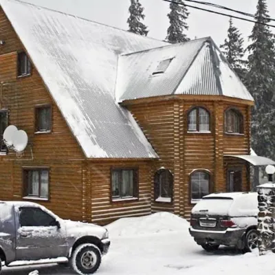 HotelHotel "Velyka Vedmedytsia" DragobratDrahobratunder 1 km from Polonyna DrahobratSaunaKitchenParkingNearby: Mt Stih 1.5 kmMt Bliznytsia 3.1 km9 trails
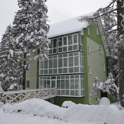 HotelHotel "Zelena Dacha" DragobratYasinyaunder 1 km from Polonyna DrahobratPoolSaunaBBQNearby: Mt Stih 1.5 kmMt Bliznytsia 3.2 km9 trails
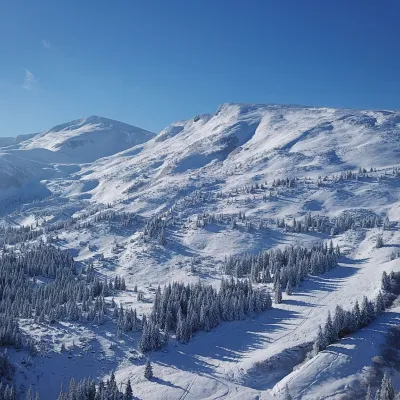 Ski resortSki Resort "Dragobrat"Yasinyaunder 1 km from Polonyna DrahobratYou have probably heard about the Ukrainian Winterfell - Dragobrat, where the ski season is eternal. Do you love conquering mountains, and in this tourist destination,...Nearby: Mt Stih 1.9 kmMt Bliznytsia 3.4 km9 trails
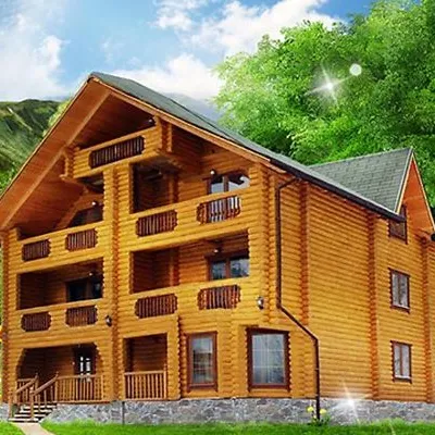 HotelHotel "Kazka Karpat" DragobratYasinyaunder 1 km from Polonyna DrahobratTransferNearby: Mt Stih 1.3 kmMt Bliznytsia 2.9 km9 trails
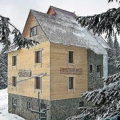 HotelHotel "Smerichka" Yasinya (Dragobrat)Yasinyaunder 1 km from Polonyna DrahobratThe four-story wooden hotel "Smerichka" Dragobrat with 40 places is located 300 m from the nearest ski lift.Nearby: Mt Stih 1.7 kmMt Bliznytsia 2.7 km9 trails
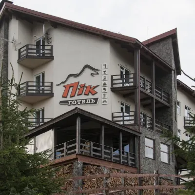 HotelHotel "PiK" DragobratYasinyaunder 1 km from Polonyna DrahobratHot tubSaunaKitchenNearby: Mt Stih 1.7 kmMt Bliznytsia 2.7 km9 trails
Trails nearby
All trails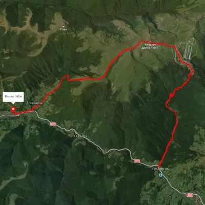 HardTwo-dayUnmarkedYasinia to Kvasy villagevia Dragobrat, Mount BlyznytsiaElevation profile544–1 853 m21.6 kmascent 1 357 m≈ 8 h walkingunder 1 km from Polonyna Drahobrat
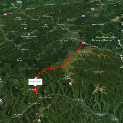 HardMulti-dayUnmarkedYasinia to Lopukhiv villagevia Mount Stih, Mount Troiaska +1Elevation profile583–1 754 m40.3 kmascent 1 934 m≈ 14 h walkingunder 1 km from Polonyna Drahobrat
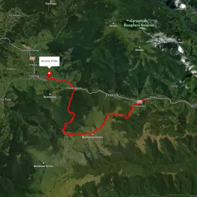 HardMulti-dayUnmarkedKvasy village to Yasiniavia Mount Blyznytsia, Lake Ivor +1Elevation profile573–1 909 m32.4 kmascent 1 570 m≈ 11 h walkingunder 1 km from Polonyna Drahobrat
Nearby attractions
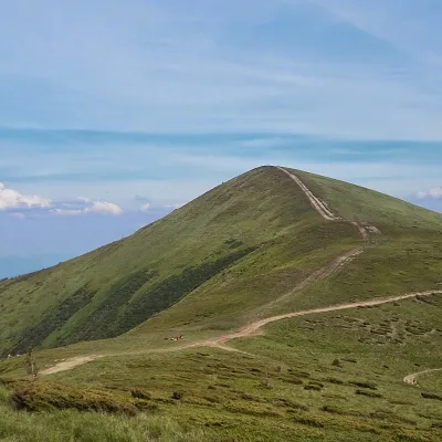 PeakMount Stih (Dragobrat)Yasinyaaltitude 1 704 m · Svydovets range1.6 km from Polonyna Drahobrat43 trails to the topStig (locally known as Stug) is a peak of the Ukrainian Carpathians, located in the Rakhiv district of Zakarpattia region in the northeastern part of the Svydovets...
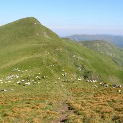 Mountain meadowPolonyna BlyznytsiaKvasyaltitude 1 780 m · Svydovets range3.4 km from Polonyna DrahobratBlyznytsia polonyna is the summit pastureland of the highest massif of Svydovets, in the Rakhiv district of Zakarpattia.
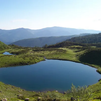 LakeLake VorozheskayaChorna Tysa4.9 km from Polonyna DrahobratThe real pearl of the Carpathians - Lake Vorozheska (other names - Vorozheska, Triton ) - is a hydrological natural monument of local importance, a high-mountain lake...
Craft nearby
All craft places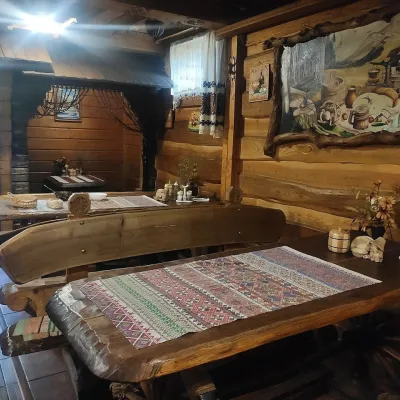 Koliby & Hutsul cuisineU Rizbaria Café, YasiniaYasinya8.9 km from Polonyna DrahobratU Rizbaria Café (“At the Woodcarver’s”) in Yasinia is a small Hutsul place serving home cooking that travellers usually find by word of mouth.
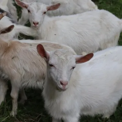 Eco farmsRozental Eco-Farm and Cheese Dairy, KvasyKvasy11 km from Polonyna DrahobratBeer and cider are brewed here, sheep's-milk ice cream is made, and in the Vaskul area above the village sits the Rozental eco-farm and cheese dairy.
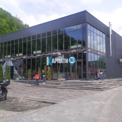 Craft beer & breweriesTsypa Brewery, KvasyKvasy11 km from Polonyna DrahobratThe Tsypa Hutsul craft brewery in Kvasy is probably the best-known brewery in the Ukrainian Carpathians.
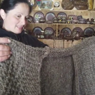 Markets & fairsSouvenir Market on the Yablunytsia Pass, YablunytsiaYablunytsia16 km from Polonyna DrahobratThe souvenir market on the Yablunytsia Pass is one of the best-known roadside bazaars in the Carpathians.
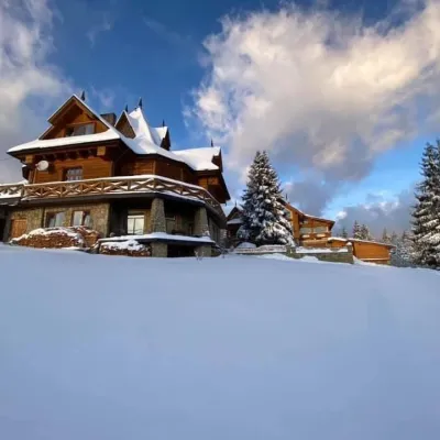 Koliby & Hutsul cuisineVysokyi Pereval Koliba, YablunytsiaYablunytsia16 km from Polonyna DrahobratVysokyi Pereval Koliba ("High Pass") stands in Yablunytsia, on the new road to Bukovel, in the Horishkiv area.
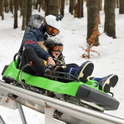 Adventures & attractionsSpeed Fun rodelbahn (mountain coaster), BukovelPolianytsia (Bukovel)16 km from Polonyna DrahobratSpeed Fun rodelbahn is a rail-mounted mountain coaster in Bukovel, Ukraine's first all-weather ride of its kind, built by the German company Wiegand.
