Polonyna Vorozheska
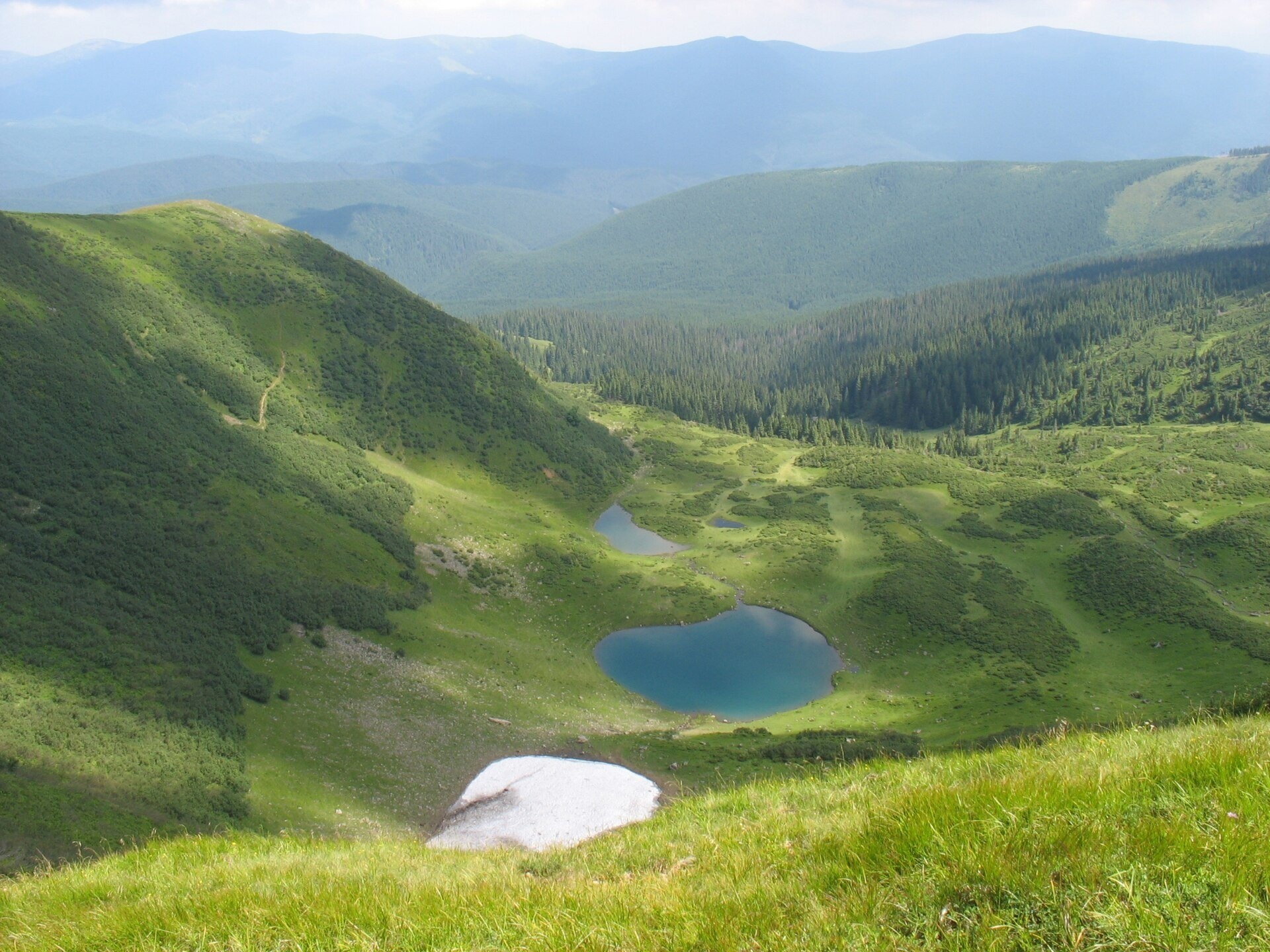
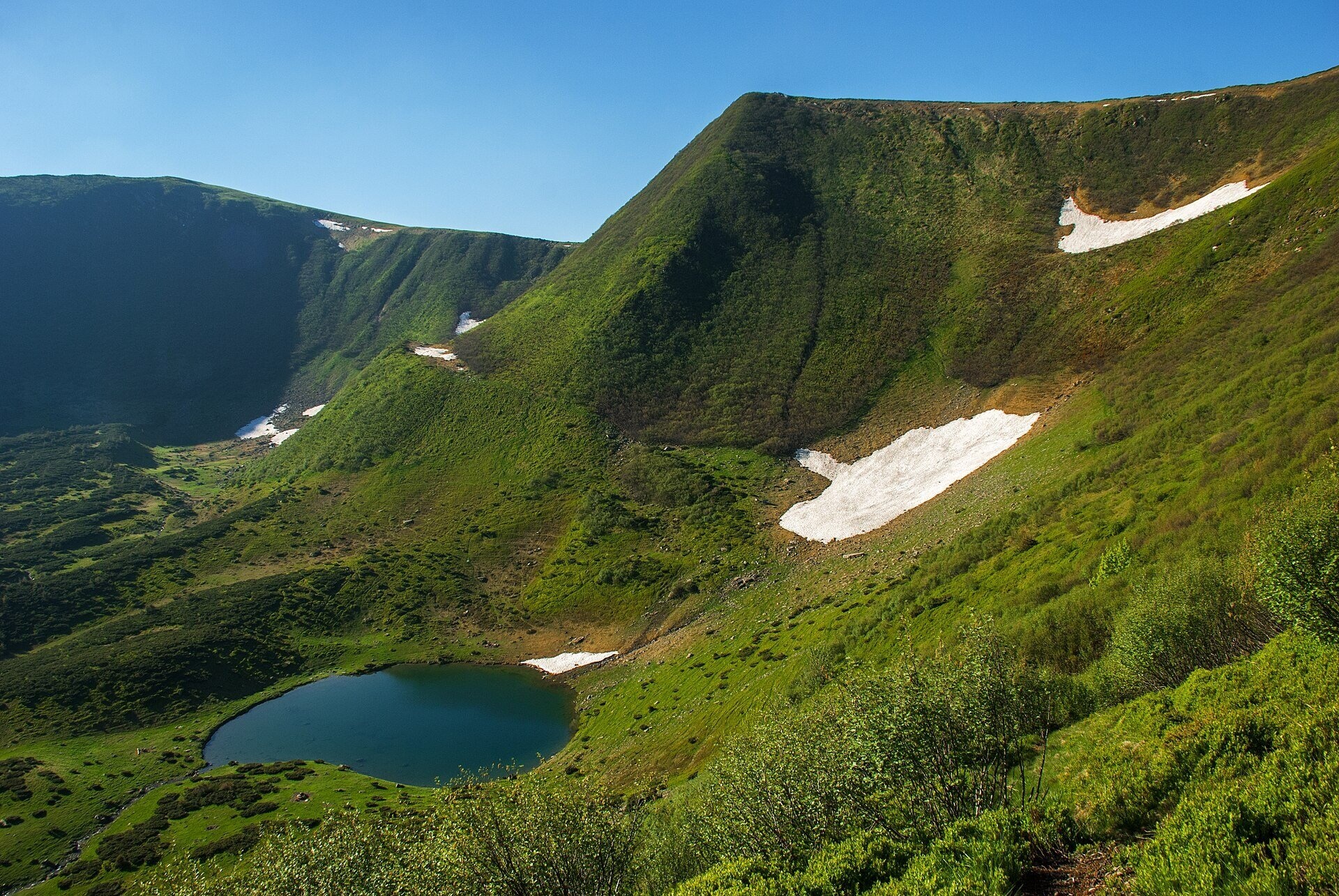
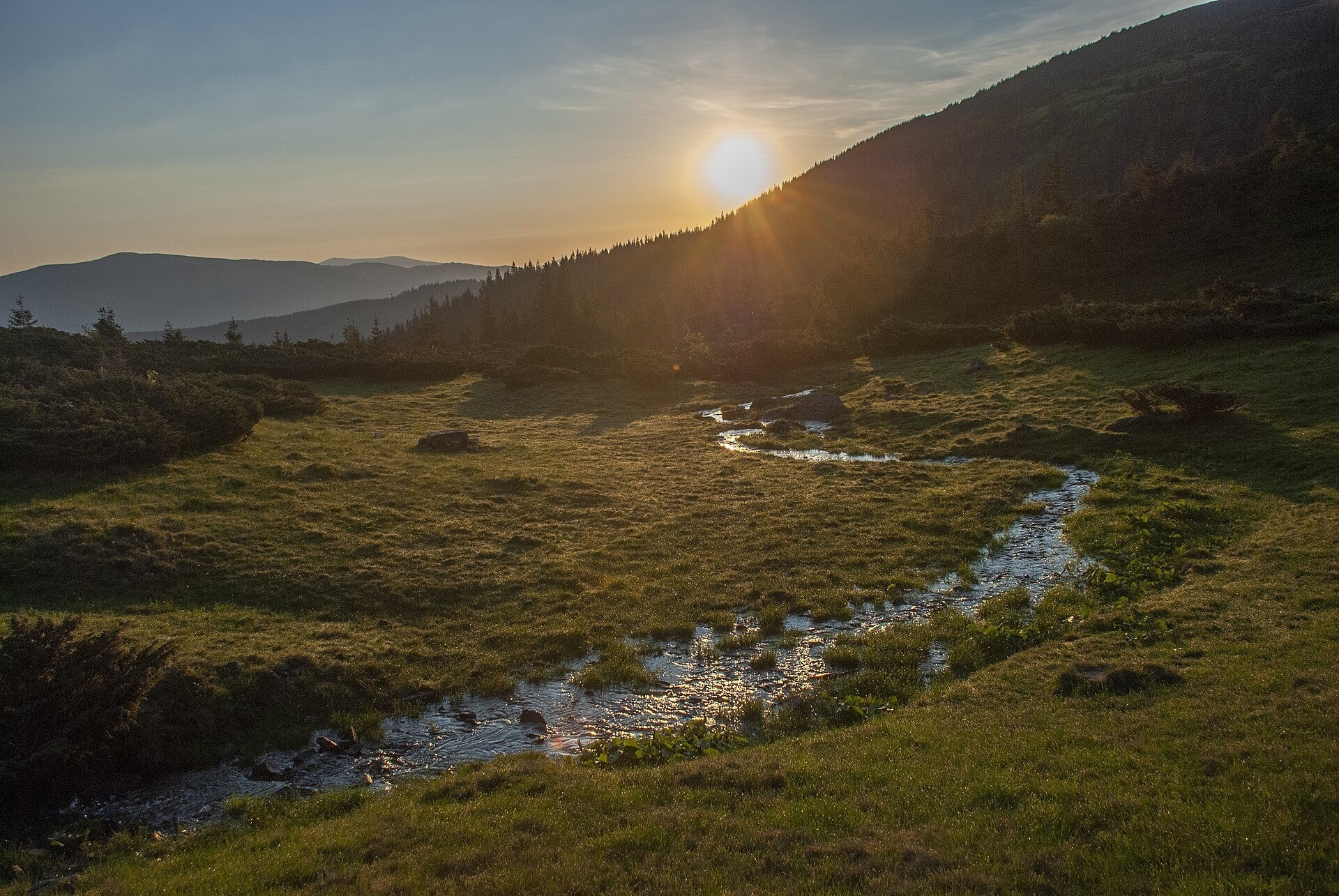
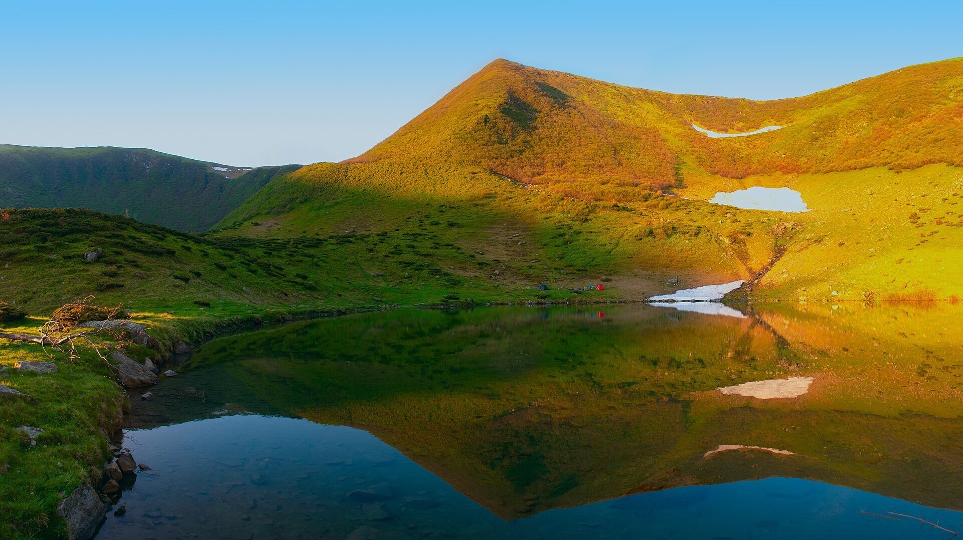
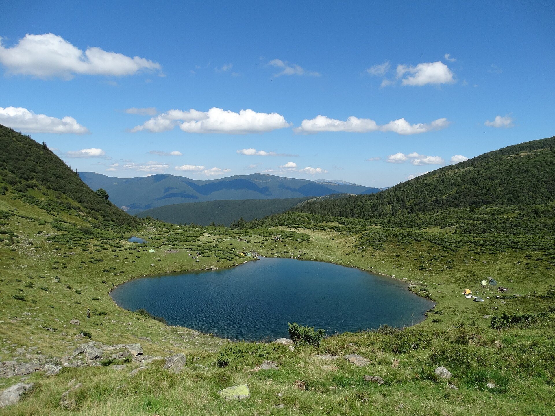
Vorozheska polonyna lies on the northern side of the main Svydovets ridge, in the Rakhiv district of Zakarpattia, below the peaks of Velykyi Kotel (1,771 m) and Vorozheska (1,731 m). The pastures cover the floor of a glacial cirque and the valley below it, roughly from 1,220 to 1,460 m. At the upper edge of the polonyna lies Lake Vorozheske: the register of protected areas records it exactly so — "on the Vorozheska polonyna".
People come here for one of the most beautiful lakes in Svydovets, for a night under the cirque walls and for cheese: in summer a cheese hut works near the polonyna, and hikers mention it warmly in their reviews. The nearest village is Chorna Tysa.
What you will see
The polonyna resembles a huge bowl: on three sides steep grassy walls of a cirque formed about ten thousand years ago rise above it, and to the north the valley opens towards the forests of the upper Chorna Tysa. The lake has two pools. The upper one is round, about 95 m across, 0.7 ha in area and up to 4.5 m deep; the lower one, 15 m lower, is elongated, about 0.2 ha. They are fed by a stream from a firn-ice snowfield that melts completely only in the hottest years, and the lake drains into a tributary of the Apshynets. In summer the water warms only to about 12 °C. According to hiking guides, the lake is getting shallower year by year.
Only microscopic crustaceans live in the water. The surrounding slopes are green in summer, snowfields still lie here in early summer, and in autumn the polonyna turns russet.
Shepherds, huts and cheese
In summer livestock grazes on the polonyna, and near the polonyna marker, at about 1,330 m, there is a working cheese hut. In 2025 reviews hikers urge others to drop in: it is an easy walk from the lake, the cheese is tasty and the owner is friendly and happy to help with advice. Others mention a cheese hut in the forest section of the descent to Chorna Tysa. On the polonyna stand a hut and a shelter. Whether cheese is being made this season can only be known on the spot: livestock is driven up to the polonynas roughly from May–June to September. Approach the sheepfold along the path, call the owner and do not provoke the dogs.
History and legends
There is a legend about the lake's name. Two brothers loved a girl called Marichka and agreed that whoever first swam across the mountain lake would win her. Halfway across a storm broke out, and the waves took them both. Their mother, weeping on the shore, called the lake hostile ("vorozhe"), the wind carried her word — and ever since the lake has been called Vorozheske. Today it is a hydrological natural monument of local importance, and the NGO "Carpathian Trails" has put up a protection sign near it.
Routes
- From Chorna Tysa up the valley. Forest roads lead up the valley to the polonyna and the lake. Our loop "Chorna Tysa – Dohiaska – Troiaska – Tataruka – Chorna Tysa" passes right through the polonyna.
- From Drahobrat over Velykyi Kotel. Along the ridge over Stih and Kotel, then a steep descent to the lake: "Drahobrat – Velykyi Kotel – Dohiaska – Troiaska – Chorna Tysa". According to hikers, with backpacks it takes about 6 hours from Drahobrat to Lake Vorozheske.
- Loop from Yasinia. Yasinia – Drahobrat – Stih – Velykyi Kotel – Chorna Tysa – Yasinia, with an optional night by the lake; a similar loop over Blyznytsia is about 33 km in two days.
- To Kvasy. Chorna Tysa – Dohiaska – Velykyi Kotel – Blyznytsia – Kvasy: a three-day option with a night at Lake Vorozheske.
- Main traverse. The red-marked Ust-Chorna – Yasinia traverse passes Lake Vorozheske.
There is no easy way here: whether from the ridge or the valley, you will have a long walk. The gentlest option is the climb from Chorna Tysa up the valley without going onto the ridge.
Getting there
Take a train or bus to Yasinia, then go on to the village of Chorna Tysa in the valley of the river of the same name. From Chorna Tysa forest roads and paths lead up to the polonyna. Another way is from Drahobrat, reached from Yasinia by off-road vehicles, over the main ridge.
When to go and weather
The best time is July to September. In May and early June there is still snow on the cirque slopes, and hikers have seen bear tracks here. Fog and thunderstorms are frequent on the ridge above the lake, so it is better to descend to the lake in daylight: the path from the ridge is steep, especially with a heavy backpack.
Water, shelters and overnight
Water is taken from the streams and springs of the polonyna — the nearest are the spring below Velykyi Kotel and another spring nearby; higher up the slope a "Clean Spring" is marked (about 1,415 m). There are tent spots by the lake — it is a popular campsite on multi-day hikes. Shelter: the hut and the shelter on the polonyna. Hotels and guesthouses are in Chorna Tysa, Yasinia and Drahobrat.
Safety
- Near a flock do not run from sheepdogs: stop, call the shepherd and walk around the animals.
- The descent from the ridge to the lake is steep; in the forest below there may be windfall, mud and midges.
- Bears live in the Svydovets forests — make noise on the path and do not leave food by your tent.
- There is nowhere to hide from a thunderstorm on the open polonyna, so follow the forecast.
- In an emergency call 112, the mountain search and rescue service of the State Emergency Service (101), ambulance 103.
What visitors say
- The lake is called an incredibly beautiful place, ideal for an overnight stay or a lunch break mid-route.
- The cheese hut near the polonyna is praised for tasty cheese, a fair price and a friendly owner.
- The descent from the ridge to the lake and the way out from it are the hardest part of the route, especially with children or after dark.
- In summer it can be crowded by the lake: in August 2025 hikers complained about loud music late into the night and drones, and livestock was staying overnight next to the campsite.
- For a Svydovets crossing with a night at Lake Vorozheske, hikers recommend allowing three days and not rushing.
- Hikers ask everyone to look after the place and carry their litter out.
Polonynas and peaks around
- Lake Vorozheska — a separate page about the lake itself.
- Mount Velykyi Kotel (1,771 m) — the summit above the cirque.
- Heryshaska polonyna and Lake Hereshaska (Dohiaska) — to the south-west, beyond the Dohiaska ridge.
- Apshynets polonyna — the neighbouring pasture with Lake Apshynets to the west.
- Tatul polonyna — to the east, on the way to Drahobrat.
- Drahobrat polonyna — the resort and hiking base.
- Mount Dohiaska (1,761 m) and Mount Troiaska (1,702 m) — summits of the main ridge to the west.
Photos: Haidamac, CC BY-SA 4.0, Wikimedia Commons; Nata Mostova, CC BY-SA 4.0, Wikimedia Commons; Olgagisaya, CC BY-SA 4.0, Wikimedia Commons; ЯдвигаВереск, CC BY-SA 4.0, Wikimedia Commons.
Video 2
 Полонина ВорожескаВівчарство в Карпатах

Location on the map
Water and shelter nearby
- Spring below Mount Velykyi Kotel180 m · Not verified · 1 271 m
- Spring below Mount Velykyi Kotel (2)190 m · Not verified · 1 264 m
- Mountain shelter on Polonyna Vorozheska200 m · Not verified · 1 320 m
- Hut on Polonyna Vorozheska210 m · Standing · 1 249 m
- Spring below Mount Velykyi Kotel (3)1.2 km · Not verified · 1 480 m
- Spring below Mount Velykyi Kotel (11)1.4 km · Not verified · 1 413 m
- Spring below Mount Dohiaska (26)1.4 km · Not verified · 1 682 m
- Spring below Mount Velykyi Kotel (12)1.5 km · Not verified · 1 425 m
- Spring below Mount Velykyi Kotel (5)1.6 km · Not verified · 1 513 m
- Spring below Mount Velykyi Kotel (13)1.9 km · Not verified · 1 451 m
- Spring below Mount Troiaska (9)2.1 km · Not verified · 1 442 m
- Spring below Mount Tataruka (10)2.1 km · Not verified · 1 243 m
- Spring below Mount Tataruka (11)2.1 km · Not verified · 1 258 m
- Spring below Mount Troiaska (8)2.2 km · Not verified · 1 232 m
- Spring below Mount Dohiaska (16)2.2 km · Not verified · 1 532 m
- Spring (Chorna Tysa, 6)2.4 km · Not verified · 1 415 m
Comments
Places to stay nearby
All stays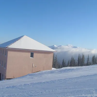 HotelHomestead "Malva"Drahobrat5.5 km from Polonyna VorozheskaTransferNearby: Mt Stih 900 mMt Bliznytsia 2.6 km9 trails
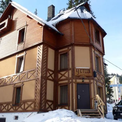 HotelHotel "U Stozi" (Dragobrat - Yasinya)Yasinya5.7 km from Polonyna VorozheskaBBQParkingWi‑FiNearby: Mt Stih 1.2 kmMt Bliznytsia 2.9 km9 trails
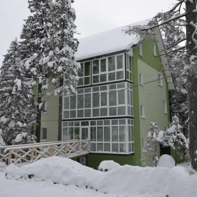 HotelHotel "Zelena Dacha" DragobratYasinya5.7 km from Polonyna VorozheskaPoolSaunaBBQNearby: Mt Stih 1.5 kmMt Bliznytsia 3.2 km9 trails
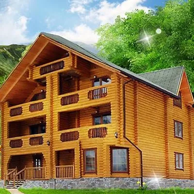 HotelHotel "Kazka Karpat" DragobratYasinya5.7 km from Polonyna VorozheskaTransferNearby: Mt Stih 1.3 kmMt Bliznytsia 2.9 km9 trails
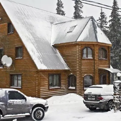 HotelHotel "Velyka Vedmedytsia" DragobratDrahobrat5.7 km from Polonyna VorozheskaSaunaKitchenParkingNearby: Mt Stih 1.5 kmMt Bliznytsia 3.1 km9 trails
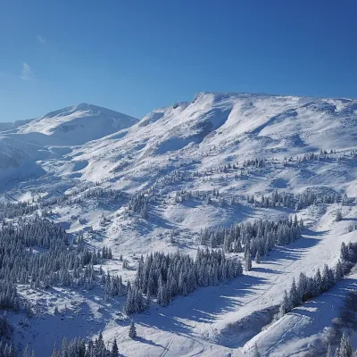 Ski resortSki Resort "Dragobrat"Yasinya6 km from Polonyna VorozheskaYou have probably heard about the Ukrainian Winterfell - Dragobrat, where the ski season is eternal. Do you love conquering mountains, and in this tourist destination,...Nearby: Mt Stih 1.9 kmMt Bliznytsia 3.4 km9 trails
Trails nearby
All trails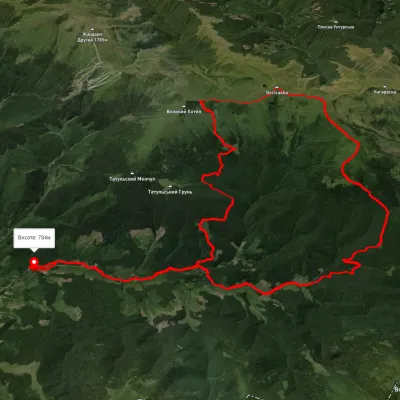 HardMulti-dayUnmarkedChorna Tysa village loopvia Mount Dohiaska, Mount Troiaska +1Elevation profile782–1 764 m45.3 kmascent 1 312 m≈ 14 h walkingunder 1 km from Polonyna Vorozheska
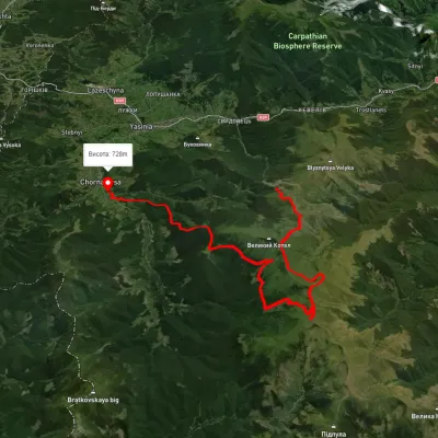 HardMulti-dayUnmarkedDragobrat to Chorna Tysa villagevia Mount Velykyi Kotel, Mount Lohiaska +1Elevation profile730–1 752 m30 kmascent 1 375 m≈ 10.5 h walkingunder 1 km from Polonyna Vorozheska
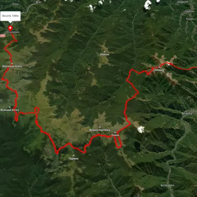 HardMulti-dayUnmarkedDubove village to Kvasy villagevia Mount Apetska, Mount Dohiaska +2Elevation profile386–1 851 m69.1 kmascent 4 845 munder 1 km from Polonyna Vorozheska
Nearby attractions
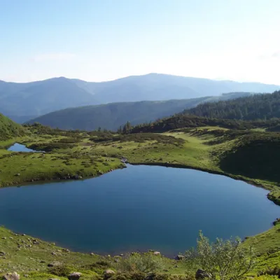 LakeLake VorozheskayaChorna Tysa1.2 km from Polonyna VorozheskaThe real pearl of the Carpathians - Lake Vorozheska (other names - Vorozheska, Triton ) - is a hydrological natural monument of local importance, a high-mountain lake...
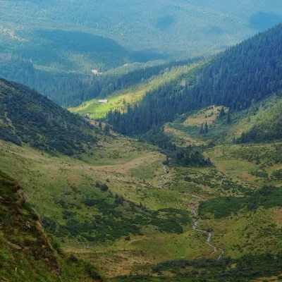 Mountain meadowPolonyna ApshynetsChorna Tysaaltitude 1 200 m · Svydovets range1.6 km from Polonyna VorozheskaApshynets polonyna (Apshyniaska) is a pasture in the upper reaches of the Apshynets stream on the northern slopes of the main Svydovets ridge, in the Rakhiv district...
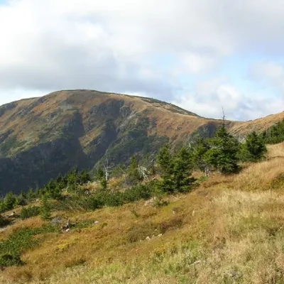 PeakMount Velykyi KotelYasinyaaltitude 1 771 m · Svydovets range2 km from Polonyna Vorozheska39 trails to the topMount Velykyi Kotel is the peak of the Ukrainian Carpathians, which lies within the Svydovets mountain range.
Craft nearby
All craft places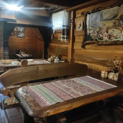 Koliby & Hutsul cuisineU Rizbaria Café, YasiniaYasinya13 km from Polonyna VorozheskaU Rizbaria Café (“At the Woodcarver’s”) in Yasinia is a small Hutsul place serving home cooking that travellers usually find by word of mouth.
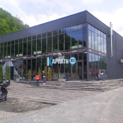 Craft beer & breweriesTsypa Brewery, KvasyKvasy16 km from Polonyna VorozheskaThe Tsypa Hutsul craft brewery in Kvasy is probably the best-known brewery in the Ukrainian Carpathians.
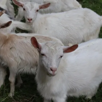 Eco farmsRozental Eco-Farm and Cheese Dairy, KvasyKvasy16 km from Polonyna VorozheskaBeer and cider are brewed here, sheep's-milk ice cream is made, and in the Vaskul area above the village sits the Rozental eco-farm and cheese dairy.
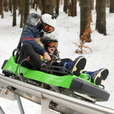 Adventures & attractionsSpeed Fun rodelbahn (mountain coaster), BukovelPolianytsia (Bukovel)18 km from Polonyna VorozheskaSpeed Fun rodelbahn is a rail-mounted mountain coaster in Bukovel, Ukraine's first all-weather ride of its kind, built by the German company Wiegand.
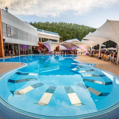 Water parks & thermal poolsVODA club spa and beach club, BukovelPolianytsia (Bukovel)18 km from Polonyna VorozheskaVODA club is a large all-season pool, spa and beach club complex on the shore of Lake Molodosti in Bukovel (Polianytsia village).
 Markets & fairsBukovel Souvenir Market, PolianytsiaPolianytsia (Bukovel)18 km from Polonyna VorozheskaBukovel's souvenir market is a row of shops and stalls right in the centre of Ukraine's largest ski resort, on the territory of Polianytsia village.
