Polonyna Heryshaska
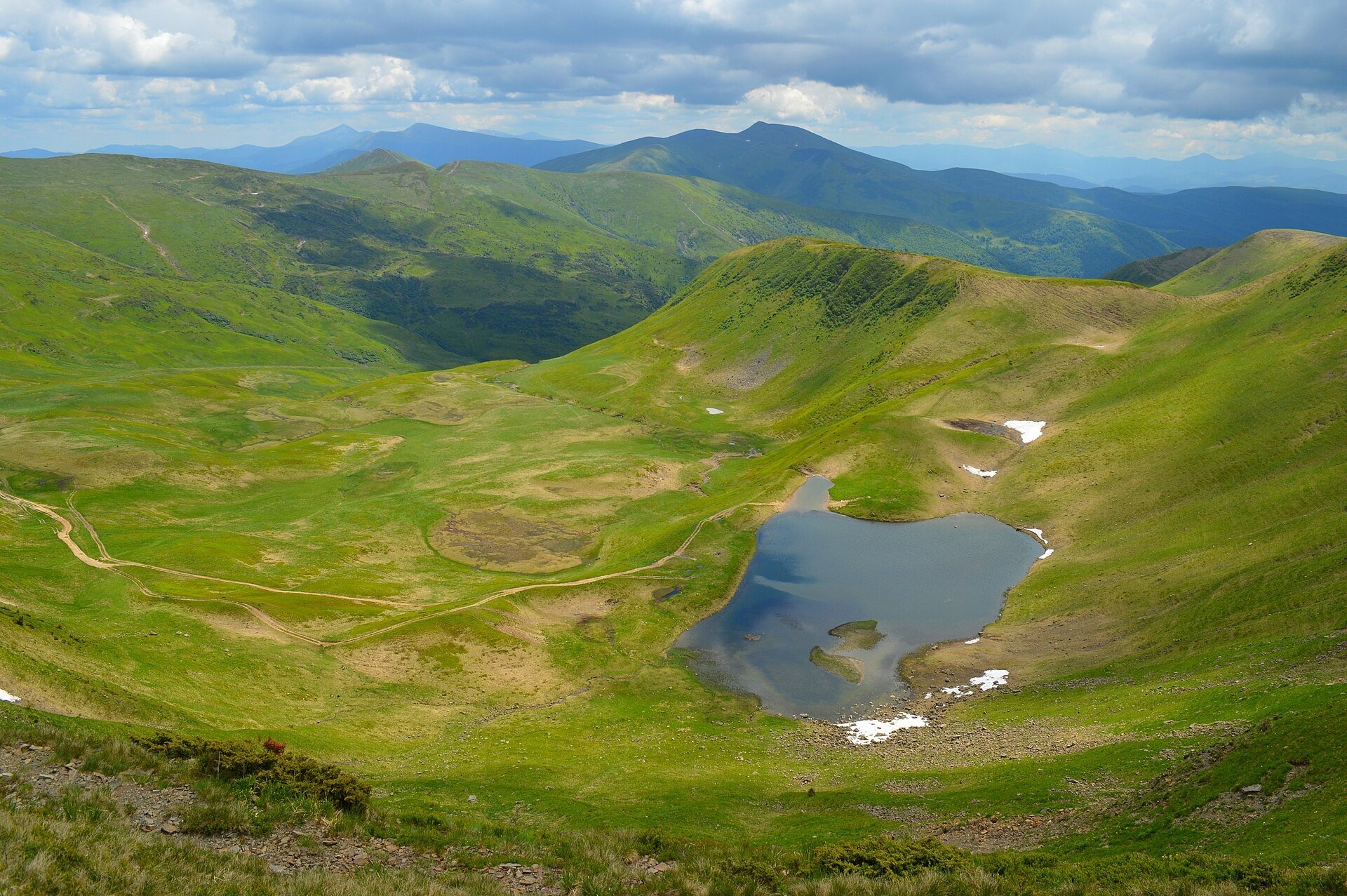
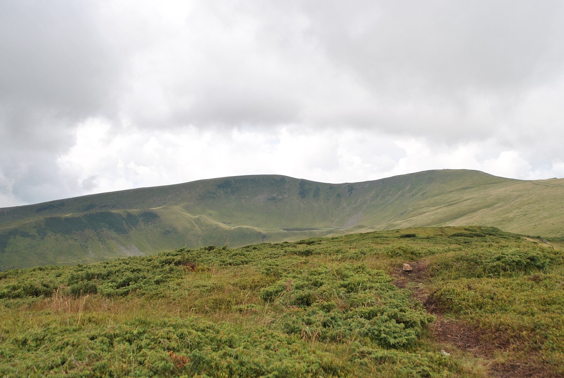
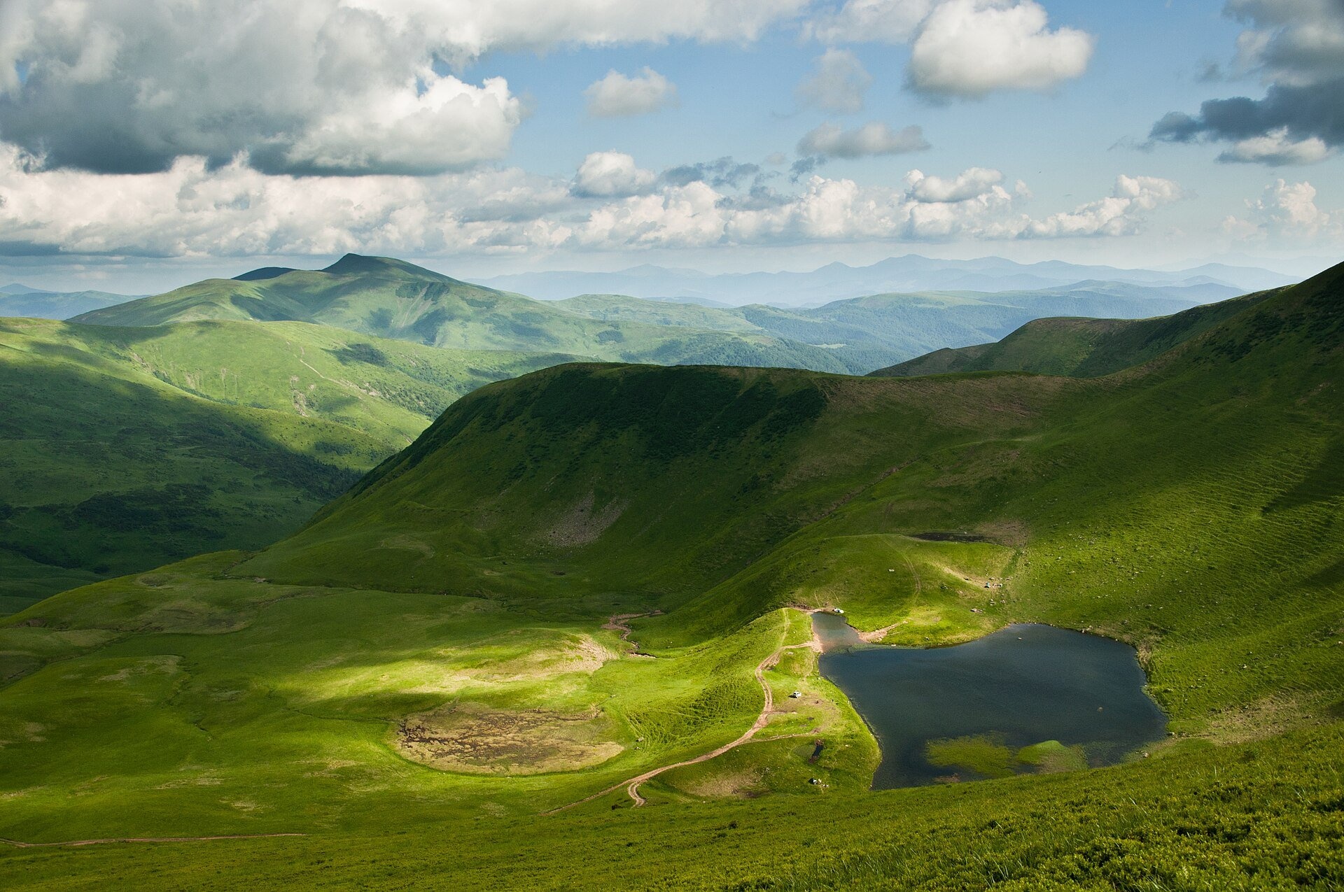
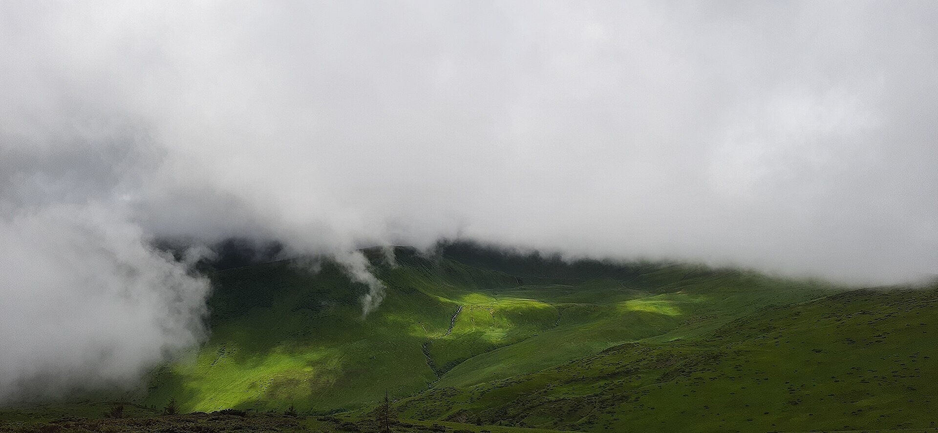
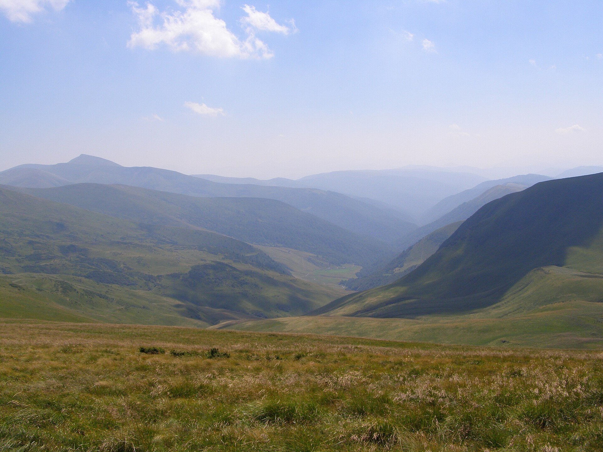
Polonyna Heryshaska (also Hereshaska or Herashaska) is a high mountain meadow in the central part of the Svydovets massif, between the peaks of Velykyi Kotel (1,770 m) and Dohiaska (1,761 m) in Rakhiv district, Zakarpattia oblast. It is one of the highest polonynas of the massif: the pastures lie at roughly 1,450–1,700 m, and the main Svydovets ridge path runs along the crest above them.
The name Heryshaska is attached to three features at once — the polonyna, a 1,762 m summit north of the lake, and the glacial Lake Hereshaska (Dohiaska) itself. Nature-protection lists place the lake "on the Hereshaska polonyna", while OpenStreetMap puts the polonyna label on the south-western slopes of Velykyi Kotel, about 2.5 km east of the lake. So Heryshaska is best understood as the broad belt of meadows from the lake to Kotel. People come here for the views, for the largest lake of Svydovets and for the classic ridge traverse.
What you will see
From the crest above the polonyna you can see almost all of Svydovets: the rocky Zhandarm peaks and Blyznytsia to the south-east, Troiaska and Tataruka to the north-west, and deep glacial cirques below. Under Dohiaska lies the cirque with Lake Hereshaska (1,577 m), the largest in Svydovets: about 125 × 110 m, 1.2–1.35 ha in area and up to 1.2 m deep. It is fed mostly by snowmelt, so the water is cold even in summer; the Kosivska river starts here and flows south towards Kosivska Poliana. The Vedeneska polonyna spreads over the southern slope of Dohiaska, and north of Velykyi Kotel, in another cirque, lies Lake Vorozheska.
The meadows are subalpine — grasses and bilberry heath. Near Heryshaska peak grows the buttercup-leaved hare's-ear (Bupleurum ranunculoides), listed in the Red Data Book of Ukraine, and in summer blue gentians bloom among the bilberries. Even in mid-June firn and snow patches may still lie by the lake.
Shepherds, huts and cheese
Sources do not describe a separate hut with a cheese dairy on Heryshaska itself. Hikers regularly see livestock on the Svydovets slopes — cows graze, for example, on the slopes of neighbouring Stih — and working sheep camps with cheese are found lower down on the southern spurs of the massif, such as the Urda polonyna. Whether livestock is grazed on Heryshaska itself this summer is unknown; if you meet a flock, walk around it and keep away from the dogs.
History and legends
The confusion of names is old: some sources call the 1,762 m summit Heryshaska, others count it as part of the Dohiaska massif, and the lake has at least four names — Hereshaska, Herashaska, Dohiaska and Oraty. Since 1984 the lake has been a local hydrological natural monument (decision No. 253 of the Zakarpattia regional executive committee of 23 October 1984), and the Kosivska Poliana village council is responsible for protecting it. The Polish geographic tradition also calls Velykyi Kotel "Tatulska"; from it a spur with the Tatul polonyna runs north-east.
Routes
- The main Svydovets ridge runs along the crest above the polonyna — from Stih via Krachuniaska and Velykyi Kotel to Dohiaska and Troiaska. This is the red-marked Zakarpattia Tourist Trail; a signpost on Heryshaska peak gives 2 km (about an hour) to Troiaska, 11 km to Tempa and 25 km (about 11.5 hours) to Ust-Chorna. On our site: Kvasy — Blyznytsia — Stih — Velykyi Kotel — Dohiaska — Drahobrat — Yasinia, Chorna Tysa — Drahobrat — lakes Vorozheska, Dohiaska, Apshynets — Kvasy, Chorna Tysa — Dohiaska — Velykyi Kotel — Blyznytsia — Kvasy, Drahobrat — Stih — Velykyi Kotel — Unhariaska — Tempa — Krasna.
- Yasinia — Lake Dohiaska: about 20 km and 7 hours one way, via the Tatul spur and Velykyi Kotel, with about 1,100 m of ascent. A day route for fit hikers.
- Chorna Tysa — Kvasy in 3 days: overnight by Lake Vorozheska, then over Vorozheska peak, the Heryshaska polonyna, Stih and Blyznytsia.
- Full traverse Ust-Chorna — Yasinia: 51.5 km, about 19 hours of walking; red waymarks, with the turn to Drahobrat marked green.
The easiest option for those who don't walk far is Drahobrat: a mountain road leads there from Yasinia, and in summer off-road vehicles drive on to Lake Hereshaska (hikers often film such trips). But vehicle ruts have already cut deep into the meadows, so it is better to walk the last kilometres.
Getting there
The nearest railway station is Yasinia on the Ivano-Frankivsk — Rakhiv line. From Yasinia a mountain road climbs to Drahobrat (about 10 km on foot or by off-road vehicle), from where a path leads up to Stih and the crest. Another option is from the village of Chorna Tysa via the Tatul polonyna and Lake Vorozheska. From the south, from Kosivska Poliana, field tracks climb along the Kosivska river — a long way used mostly by local off-road vehicles.
When to go and weather
The season runs from late June to late September. Until mid-June snow lies on the crest and by the lake; in July and August the grass is lush and bilberries ripen; in September the polonyna turns golden-russet. At weekends Lake Hereshaska can be very crowded, so for peace and quiet go on a weekday. Afternoon thunderstorms are common in summer, and fog can cover the crest within minutes.
Water, shelters and overnight
There are several springs below Velykyi Kotel — the closest are 150–400 m from the polonyna (spring below Velykyi Kotel, another spring nearby). Don't drink lake water: the lake is shallow and overgrowing. People camp by lakes Hereshaska and Vorozheska and on flat spots of the polonyna; there are no shelter huts on Heryshaska itself. The nearest accommodation is on Drahobrat, in Yasinia and in Chorna Tysa.
Safety
- The Svydovets crest is exposed: in a thunderstorm get off the ridge and don't stand next to metal signposts or crosses.
- It is easy to get lost in fog: waymarking is sparse in places, so carry an offline map.
- Near livestock and sheepdogs walk around the flock, don't run, and call the shepherd.
- The lake is a natural monument: don't wash dishes in it and take your rubbish with you.
- Don't drive across the meadows off the tracks — it destroys rare plants.
- In an emergency call 112 or 103 — the State Emergency Service's mountain search and rescue unit will help.
What visitors say
- The view of the cirque with the lake below Dohiaska is called one of the most beautiful in Svydovets, especially from the crest above the lake.
- In season it is crowded by the lake: at weekends dozens of tents stand here, and visitors complain about litter.
- The meadows around Drahobrat and the lakes are scarred by off-road ruts, so many advise walking rather than taking a "jeep tour".
- Even in mid-June there is a lot of snow by the lake, so bring waterproof boots early in the season.
- The lake is getting shallower and overgrown with duckweed — visitors urge people to look after it.
- Waymarking on the ridge is uneven: signposts stand mainly on the summits.
Polonynas and peaks around
- Lake Hereshaska (Dohiaska) — the largest lake of Svydovets, in the cirque below Dohiaska.
- Velykyi Kotel (1,770 m) — the peak right above the polonyna.
- Dohiaska — the neighbouring peak to the west, with the Vedeneska polonyna on its southern slope.
- Vorozheska polonyna and Lake Vorozheska — on the northern slopes of Kotel.
- Apshynets polonyna — further north-west, by the Apshynets lakes.
- Tatul polonyna — on the spur descending from Kotel to Chorna Tysa.
- Stih and the Urda polonyna — to the south-east, towards Blyznytsia.
Photos: Каїра Федір, CC BY-SA 4.0, Wikimedia Commons; Taras r, CC BY-SA 4.0, Wikimedia Commons; Yuttary, CC BY-SA 4.0, Wikimedia Commons; Петро Малофій, CC BY-SA 4.0, Wikimedia Commons; Daniel Baránek, CC BY-SA 3.0, Wikimedia Commons.
Video 2
 Герешаска та Ворожеска - високогірні озера Драгобрату, легенди про ворожбицтво.Гуцулендія

Location on the map
Water and shelter nearby
- Spring below Mount Velykyi Kotel (7)150 m · Weak flow · 1 646 m
- Spring below Mount Velykyi Kotel (6)390 m · Not verified · 1 602 m
- Spring below Mount Velykyi Kotel (8)430 m · Not verified · 1 669 m
- Spring below Mount Velykyi Kotel (10)520 m · Not verified · 1 620 m
- Spring below Mount Velykyi Kotel (5)990 m · Not verified · 1 513 m
- Spring below Mount Velykyi Kotel (4)1.1 km · Not verified · 1 454 m
- Spring below Mount Stih (7)1.3 km · Not verified · 1 601 m
- Spring below Mount Stih (2)1.3 km · Not verified · 1 451 m
- Spring below Mount Velykyi Kotel (3)1.4 km · Not verified · 1 480 m
- Spring below Mount Stih (8)1.6 km · Not verified · 1 604 m
- Spring below Mount Stih (4)1.6 km · Not verified · 1 506 m
- Spring below Mount Stih (11)1.6 km · Not verified · 1 600 m
- Spring below Mount Stih1.6 km · Not verified · 1 477 m
- Spring below Mount Stih (12)1.7 km · Not verified · 1 587 m
- Spring below Mount Stih (13)1.8 km · Not verified · 1 580 m
- Spring below Mount Stih (9)1.8 km · Not verified · 1 582 m
Comments
Places to stay nearby
All stays HotelHomestead "Malva"Drahobrat3.3 km from Polonyna HeryshaskaTransferNearby: Mt Stih 900 mMt Bliznytsia 2.6 km9 trails
 HotelHotel "U Stozi" (Dragobrat - Yasinya)Yasinya3.6 km from Polonyna HeryshaskaBBQParkingWi‑FiNearby: Mt Stih 1.2 kmMt Bliznytsia 2.9 km9 trails
 HotelHotel "Kazka Karpat" DragobratYasinya3.6 km from Polonyna HeryshaskaTransferNearby: Mt Stih 1.3 kmMt Bliznytsia 2.9 km9 trails
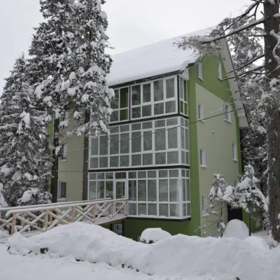 HotelHotel "Zelena Dacha" DragobratYasinya3.7 km from Polonyna HeryshaskaPoolSaunaBBQNearby: Mt Stih 1.5 kmMt Bliznytsia 3.2 km9 trails
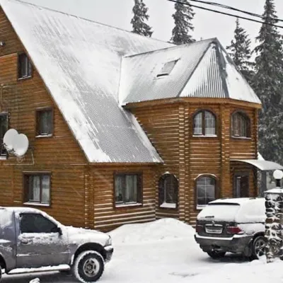 HotelHotel "Velyka Vedmedytsia" DragobratDrahobrat3.7 km from Polonyna HeryshaskaSaunaKitchenParkingNearby: Mt Stih 1.5 kmMt Bliznytsia 3.1 km9 trails
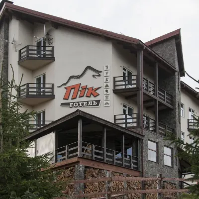 HotelHotel "PiK" DragobratYasinya4 km from Polonyna HeryshaskaHot tubSaunaKitchenNearby: Mt Stih 1.7 kmMt Bliznytsia 2.7 km9 trails
Trails nearby
All trails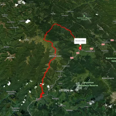 HardMulti-dayUnmarkedRakhiv to Yasiniavia Mount Blyznytsia, Mount Troiaska +4Elevation profile440–1 839 m67.3 kmascent 2 761 munder 1 km from Polonyna Heryshaska
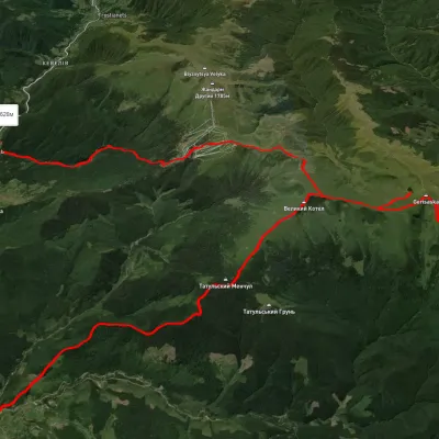 HardMulti-dayUnmarkedChorna Tysa village to Kvasy villagevia Dragobrat, Lake Vorozheska +3Elevation profile638–1 786 m36.6 kmascent 1 850 m≈ 13 h walkingunder 1 km from Polonyna Heryshaska
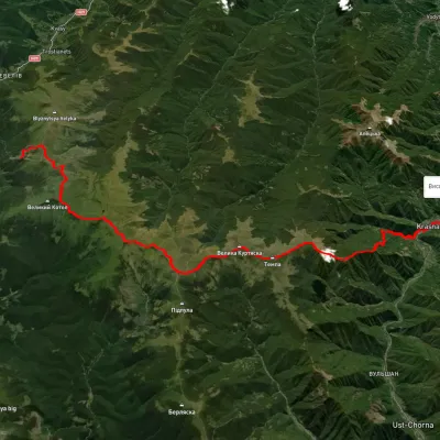 HardMulti-dayUnmarkedDragobrat to Krasna villagevia Mount Stih, Mount Velykyi Kotel +2Elevation profile422–1 751 m35.3 kmascent 1 166 m≈ 11 h walkingunder 1 km from Polonyna Heryshaska
Nearby attractions
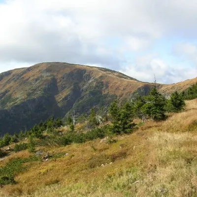 PeakMount Velykyi KotelYasinyaaltitude 1 771 m · Svydovets rangeunder 1 km from Polonyna Heryshaska39 trails to the topMount Velykyi Kotel is the peak of the Ukrainian Carpathians, which lies within the Svydovets mountain range.
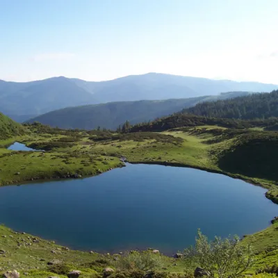 LakeLake VorozheskayaChorna Tysa1.4 km from Polonyna HeryshaskaThe real pearl of the Carpathians - Lake Vorozheska (other names - Vorozheska, Triton ) - is a hydrological natural monument of local importance, a high-mountain lake...
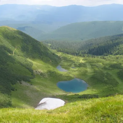 Mountain meadowPolonyna VorozheskaChorna Tysaaltitude 1 300 m · Svydovets range2.6 km from Polonyna HeryshaskaVorozheska polonyna lies on the northern side of the main Svydovets ridge, in the Rakhiv district of Zakarpattia, below the peaks of Velykyi Kotel (1,771 m) and...
Craft nearby
All craft places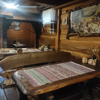 Koliby & Hutsul cuisineU Rizbaria Café, YasiniaYasinya12 km from Polonyna HeryshaskaU Rizbaria Café (“At the Woodcarver’s”) in Yasinia is a small Hutsul place serving home cooking that travellers usually find by word of mouth.
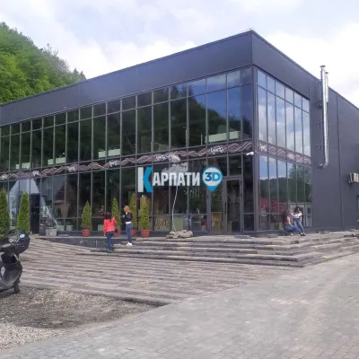 Craft beer & breweriesTsypa Brewery, KvasyKvasy14 km from Polonyna HeryshaskaThe Tsypa Hutsul craft brewery in Kvasy is probably the best-known brewery in the Ukrainian Carpathians.
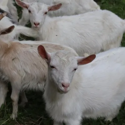 Eco farmsRozental Eco-Farm and Cheese Dairy, KvasyKvasy14 km from Polonyna HeryshaskaBeer and cider are brewed here, sheep's-milk ice cream is made, and in the Vaskul area above the village sits the Rozental eco-farm and cheese dairy.
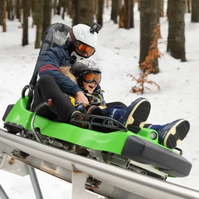 Adventures & attractionsSpeed Fun rodelbahn (mountain coaster), BukovelPolianytsia (Bukovel)18 km from Polonyna HeryshaskaSpeed Fun rodelbahn is a rail-mounted mountain coaster in Bukovel, Ukraine's first all-weather ride of its kind, built by the German company Wiegand.
 Markets & fairsBukovel Souvenir Market, PolianytsiaPolianytsia (Bukovel)19 km from Polonyna HeryshaskaBukovel's souvenir market is a row of shops and stalls right in the centre of Ukraine's largest ski resort, on the territory of Polianytsia village.
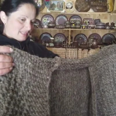 Markets & fairsSouvenir Market on the Yablunytsia Pass, YablunytsiaYablunytsia19 km from Polonyna HeryshaskaThe souvenir market on the Yablunytsia Pass is one of the best-known roadside bazaars in the Carpathians.
