Condition
Weak flowWeak flow — slow to fill, may disappear in hot weather.
- 1 646 m
- Dries out in summer or drought
About
Svydovets range, about 1 650 m above sea level. Mount Velykyi Kotel (1 771 m) is about 630 m away. The nearest settlement is Chorna Tysa, about 11 km in a straight line. 8 of the site’s trails pass nearby, including “Transcarpathian Tourist Trail”.
This spring dries out in summer or in dry years, so do not rely on it as your only water. The flow is weak: filling a bottle takes time.
On the map
Coordinates: 48.26507, 24.19971
How to get there
Trails nearby
 HardMulti-dayMarkedTranscarpathian Tourist TrailElevation profile198–2 031 m393.2 kmascent 30 283 m
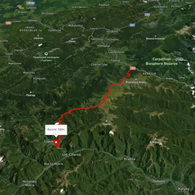 HardMulti-dayUnmarkedYasinia to Lopukhiv villagevia Mount Stih, Mount Troiaska +1Elevation profile583–1 754 m40.3 kmascent 1 934 m≈ 14 h walking
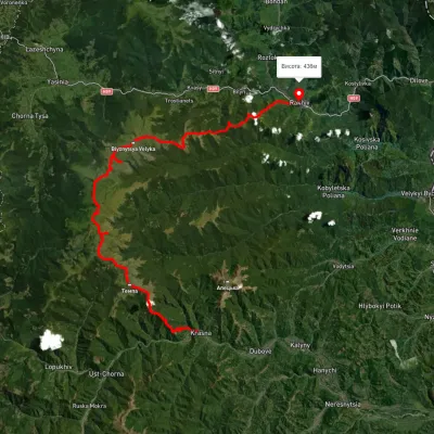 HardMulti-dayUnmarkedKrasna village to Rakhivvia Mount Tempa, Mount Troiaska +1Elevation profile436–1 837 m62.5 kmascent 3 128 m
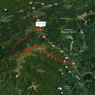 HardMulti-dayUnmarkedRakhiv to Yasiniavia Mount Blyznytsia, Mount Stih +3Elevation profile442–1 848 m65 kmascent 2 908 m
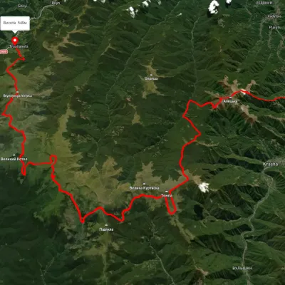 HardMulti-dayUnmarkedDubove village to Kvasy villagevia Mount Apetska, Mount Dohiaska +2Elevation profile386–1 851 m69.1 kmascent 4 845 m
 ModerateTwo-dayUnmarkedBraivka polonyna to Lake Apshynetsvia Mount BlyznytsiaElevation profile1 189–1 881 m16.2 kmascent 1 090 m≈ 6 h walking
Nearest settlement: Chorna Tysa, about 11 km in a straight line.
Report the condition
Been here recently? Tell us what you saw and add photos — your report appears on the page right away with today’s date.
No photos yet — send yours together with a condition report.
