Condition
Not verifiedNo recent reports. Carry water and, if you pass by, tell us what you saw.
- 1 203 m
- Dries out in summer or drought
About
Gorgany range, about 1 200 m above sea level. Mount Negrova (1 604 m) is about 2.6 km away. The nearest settlement is Osmoloda, about 9.7 km in a straight line. 8 of the site’s trails pass nearby, including “Bystrytsia village, via Mount Tavpysh to Mount Velyka Syvulia”.
This spring dries out in summer or in dry years, so do not rely on it as your only water.
On the map
Coordinates: 48.51630, 24.12440
How to get there
Trails nearby
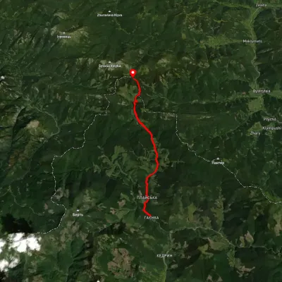
 HardTwo-dayUnmarkedBystrytsia village to Mount Velyka Syvuliavia Mount TavpyshElevation profile736–1 817 m20.1 kmascent 1 694 m≈ 8.5 h walking
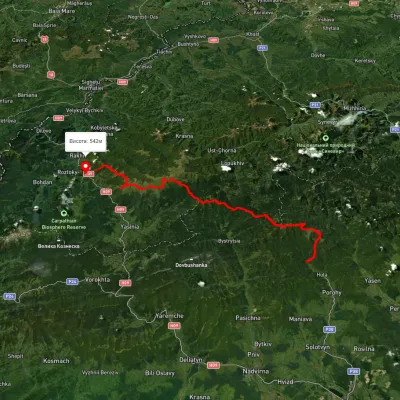 HardMulti-dayUnmarkedStara Huta village to Bilyn villagevia Mount Vysoka, Mount Syvulia +4Elevation profile481–1 850 m95.9 kmascent 5 130 m
 ModerateTwo-dayMarkedRushchyna polonyna Ust-ChornaElevation profile749–1 405 m14.9 kmascent 1 436 m≈ 6.5 h walking
 HardMulti-dayUnmarkedStara Huta village to the Mali Rohodzy Passvia Mount Vysoka, Mount Ihrovets +1Elevation profile705–1 796 m35.1 kmascent 2 581 m≈ 14 h walking
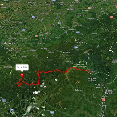 HardMulti-dayUnmarkedRakhiv to Osmoloda villagevia Mount Blyznytsia, Mount Troiaska +1Elevation profile437–1 858 m134.1 kmascent 7 086 m
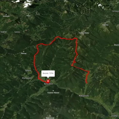 HardMulti-dayUnmarkedMaksymets village to Bystrytsia villagevia Mount Hechura, Perenyz Pass +1Elevation profile732–1 457 m34.4 kmascent 1 612 m≈ 12 h walking
Nearest settlement: Osmoloda, about 9.7 km in a straight line.
Report the condition
Been here recently? Tell us what you saw and add photos — your report appears on the page right away with today’s date.
No photos yet — send yours together with a condition report.
