Mount Darvaika
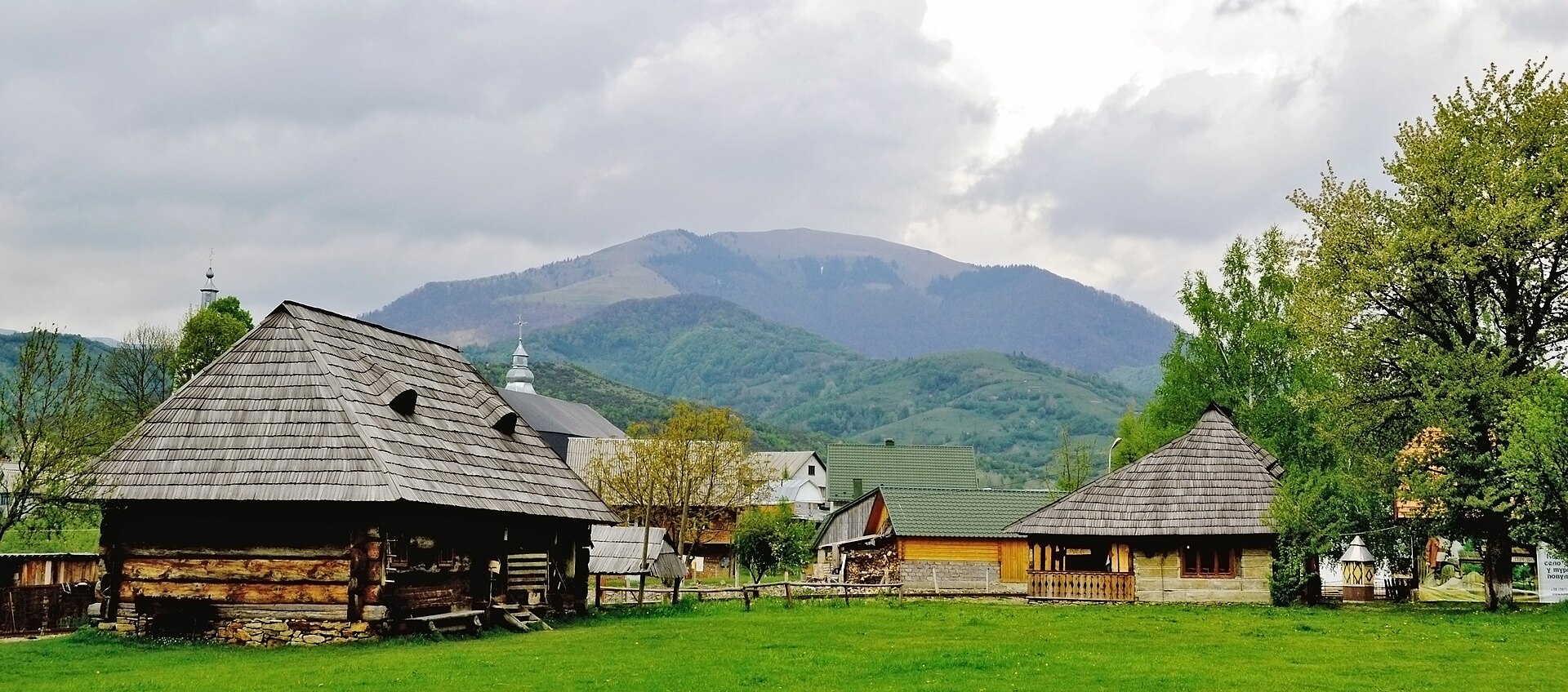
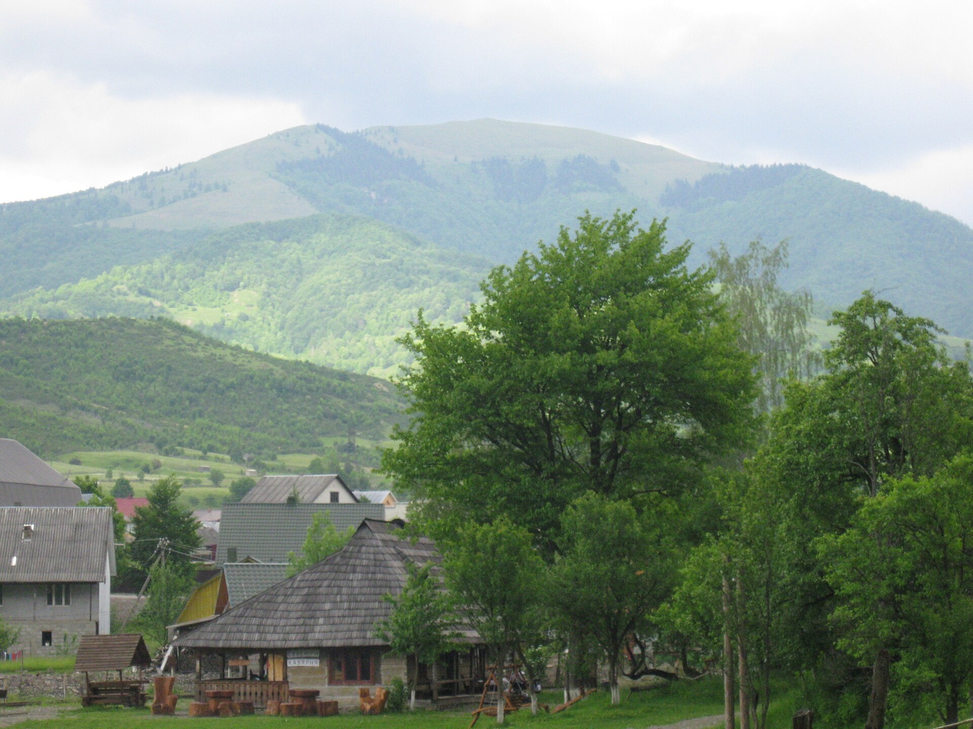
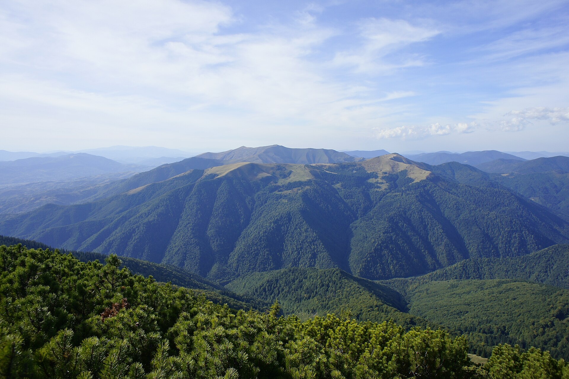
Darvaika is a mountain of the Inner Gorgany, in the south-eastern part of the Pyshkonia ridge. It lies in the Mizhhiria district of Zakarpattia Oblast, north-east of the village of Kolochava. It is 1502 m high (other sources give 1506 m). The village of Nehrovets is also nearby.
The summit is treeless, the slopes are steep, especially the eastern and western ones, and the foot of the mountain is forested. In places there are scree fields. North of Darvaika rises Yasnovets (1600 m), to the south-east Strymba (1719 m) and the ridge of the same name. Thanks to its open summit, Darvaika offers a good view of Kolochava and the surrounding ridges of the Gorgany and Polonyna Krasna.
How to get there
The “Along the peaks of Pyshkonia” hiking route crosses the summit. Our site has the loop Kolochava – Darvaika – Nehrovets – Kolochava, 21.9 km long with about 1500 m of ascent — a full day for fit hikers. After Darvaika the route climbs Nehrovets (1707 m), one of the highest peaks of this part of the Gorgany. Part of the long traverse Synevyr – Nehrovets – Mereshor – Krasna ridge – Ust-Chorna – Svydovets ridge – Kvasy (100.3 km) also passes close to Darvaika.
Water, shelter and safety
Our map shows the “Pid Darvaikoiu” hut about 750 m from the summit. There are no springs at the top, so carry water. The steep scree slopes are slippery after rain — wear boots with a good tread and descend carefully. Weather in the Gorgany changes quickly, and it is easy to lose the path in fog. The best season is from May to October. In an emergency call 112 or 101; contacts of the nearest units are on the mountain rescue page.
Photos: I kynitsky, CC BY-SA 4.0; ValeriySh, CC BY-SA 4.0; Andrnator, CC BY-SA 3.0 — Wikimedia Commons.
Location on the map
Comments
Places to stay nearby
 HotelComplex "Stare Selo" Mykulychyn5.8 km from Mount DarvaikaParkingTransferNearby: Holy Spirit Church 200 mMt Strymba 6.9 km10 trails
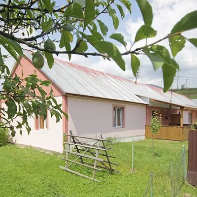 CottageCottage "Yalivets" Kolochava5.9 km from Mount DarvaikaHot tubBBQKitchenNearby: Holy Spirit Church 1.7 kmMt Negrovets 7.3 km9 trails
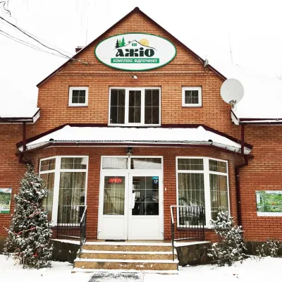 HotelRecreation Complex "Azhio" Mykulychyn Village6 km from Mount DarvaikaSaunaKitchenTransferNearby: Holy Spirit Church 1.2 kmMt Negrovets 7.8 km9 trails
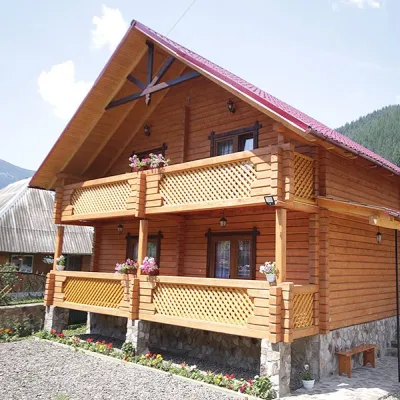 CottageCottage "Orchidea"13 km from Mount DarvaikaSaunaBBQParkingNearby: Kamyanka Mountain 4.1 kmSynevyr Pass 7.1 km6 trails
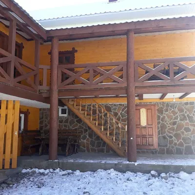 HomesteadHomestead "BILYA SYNEVYRU" Synevyrska Polyana13 km from Mount DarvaikaSaunaBBQKitchenNearby: Kamyanka Mountain 3.2 kmSynevyr Pass 6.3 km2 trails
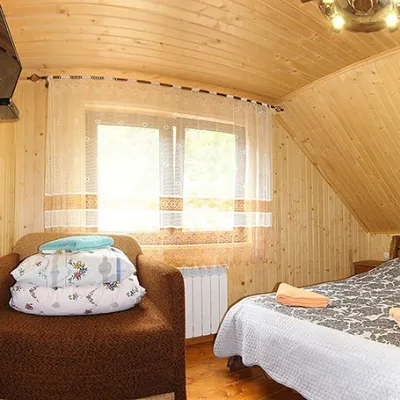 HomesteadHomestead "By the River" Synevyrska Polyana13 km from Mount DarvaikaSaunaBBQKitchenNearby: Kamyanka Mountain 3.2 kmSynevyr Pass 6.2 km3 trails
Trails nearby
 HardTwo-dayUnmarkedKolochava village loopvia Mount Darvaika, Mount NehrovetsElevation profile566–1 657 m21.9 kmascent 1 545 m≈ 8.5 h walkingunder 1 km from Mount Darvaika
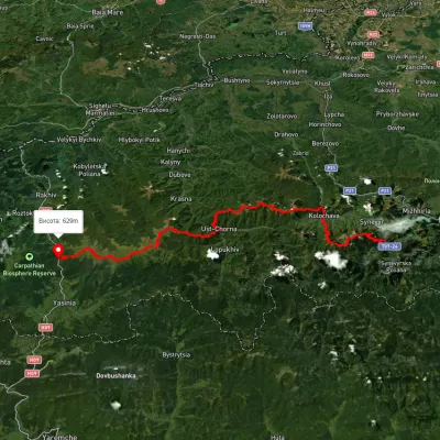 HardMulti-dayUnmarkedSynevyr village to Kvasy villagevia Mount Nehrovets, Mereshor village +3Elevation profile516–1 843 m100.3 kmascent 5 367 munder 1 km from Mount Darvaika
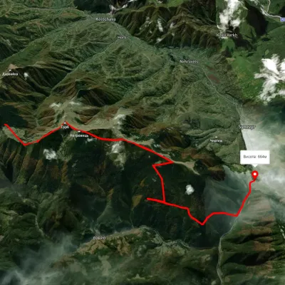 ModerateTwo-dayUnmarkedMount Nehrovets Synevyr villageElevation profile586–1 690 m17.1 kmascent 562 m≈ 5.5 h walking2.5 km from Mount Darvaika
Nearby attractions
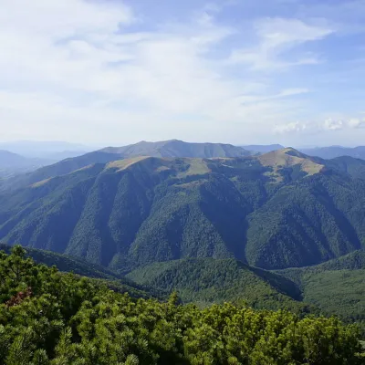 PeakMount Yasnovetsaltitude 1 600 m · Gorgany range2.4 km from Mount Darvaika3 trails to the topYasnovets is a mountain in the Ukrainian Carpathians, in the Inner Gorgany massif. It is located in the central part of the Pyshkonya ridge, within the Mizhhirya...
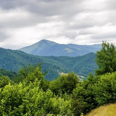 PeakMount Strymbaaltitude 1 719 m · Gorgany range4.5 km from Mount Darvaika4 trails to the topMount Strymba is a 1,719-meter peak of the Ukrainian Carpathians, which lies within the Gorgan mountain range - on the territory of the Pryvododilni Gorgan.
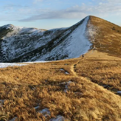 PeakMount Negrovetsaltitude 1 707 m · Gorgany range4.6 km from Mount Darvaika6 trails to the topMount Negrovets is a peak in the Ukrainian Carpathians, which lies within the Gorgan mountain range (Inner Gorgan Mountains ) in the Mizhhirya district of Zakarpattia...