Mount Yasnovets
Yasnovets is a mountain in the Ukrainian Carpathians, in the Inner Gorgany massif. It is located in the central part of the Pyshkonya ridge, within the Mizhhirya district of Zakarpattia region, northeast of the village of Kolochava.
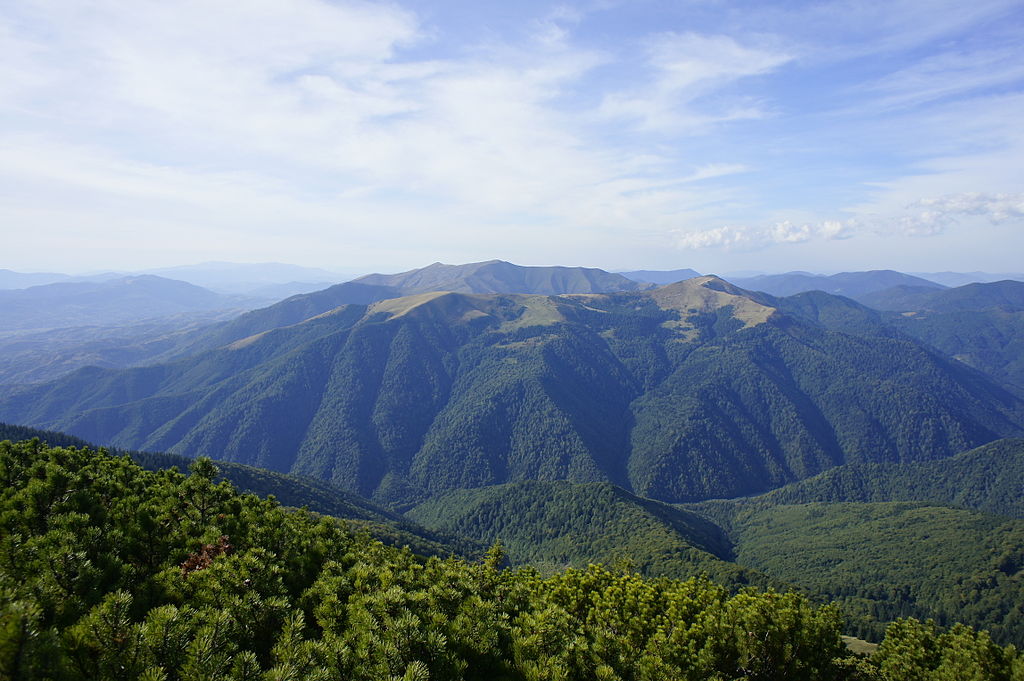
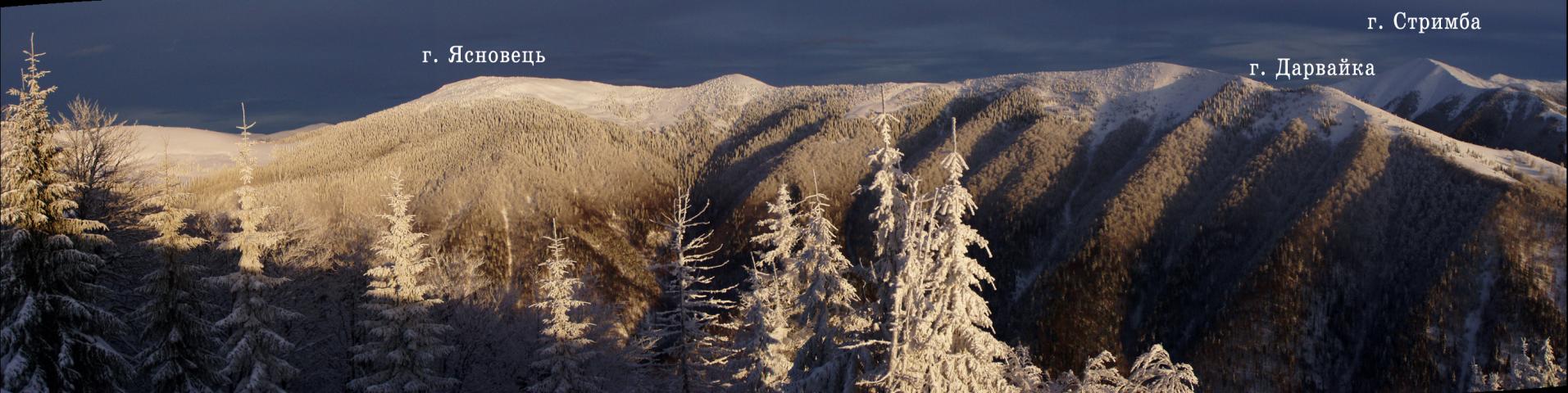
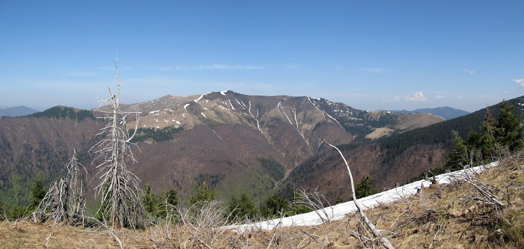
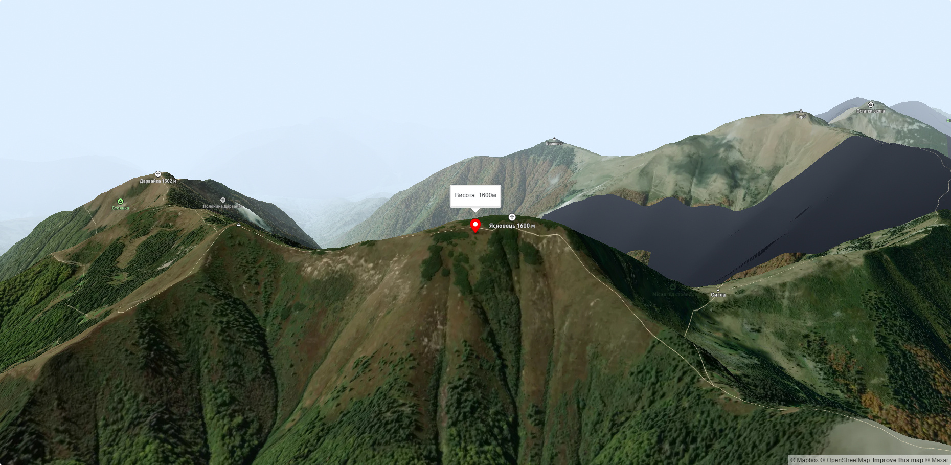
The height is 1600.2 m (according to other sources - 1605 m). The peak is unforested, the slopes are steep (especially the eastern ones); the foot of the mountain is covered with forest. In some places there are stone scree. To the south of the peak is Mount Darvaika (1501 m), to the west is Mount Negrovets (1707.3 m).
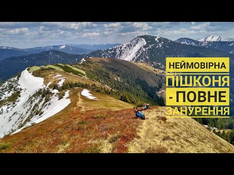
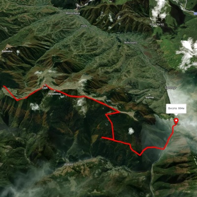
The mountain, as well as the entire Pyshkonya ridge, is located within the Synevyr National Nature Park. The tourist hiking route "Pyshkonya Peaks" runs through the top.
The Pishkonya Ridge stretches from the Synevyr Pass to the southeast, making a southward arc at the end and ending in the village of Kolochava. The highest mountain is called Negrovets, and it rises 1709 meters above sea level. The ridge can be conditionally divided into two sections - marked: Pishkonya, Mala Hropa, Yasnovets, Velyka Hropa, Negrovets, Hrob, Barvinok, and unmarked: the same Horb, unnamed (1441), Yasnovets, unnamed (1564), Darvaika, unnamed (1400).
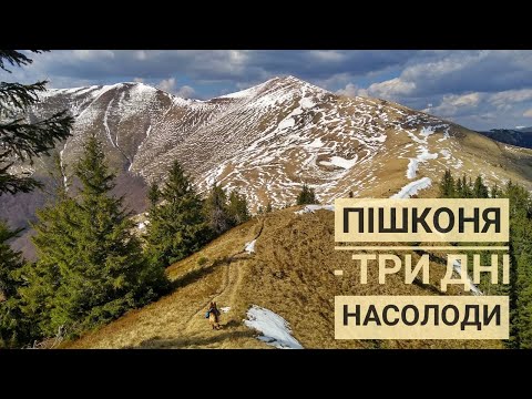
Routes here: Southern Gorgany. Negrovets, Gropa and others.
If your path will run from Mount Gorb, it is better to traverse it on the left slope and I strongly advise against trying to go straight to the top. It is densely covered with alpine pine thickets, and it is not a pleasure to wade through it, occasionally bumping into aggressively shaped, sharp-tipped fir trees. And when you finally break through to the top (and the view from there is magnificent), the scenery will not overwhelm you with its beauty. You'll be impressed by the myriad of small twigs behind the gate and the contents of your sneakers, which can be used to brew a cup of strong herbal tea. It's better to traverse. Moreover, from the side of the road from Mount Darvaika, you can safely climb without having to taste the taste of climbing through the chute. If we traverse the left slope (looking from the direction of the road from Horb), the map promises us many places of leakage of purified and filtered water, i.e. springs. And this is an advantage for a traveler on a summer day (From https://www.gorgany.com/pro/pishkonia/).
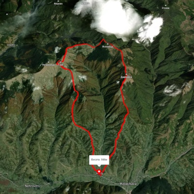
Nearest settlements: Kolochava (6.7 km), Horb (5.8 km), Synevyr (7.0 km).
On the northwestern slope of the peak, the Yavorovets stream originates, the left tributary of the Ozeryanka.
Accommodation around Mount Yasnovets:


Nearby hiking trails near Mount Yasnovets:
Which trails pass by Mount Yasnovets?
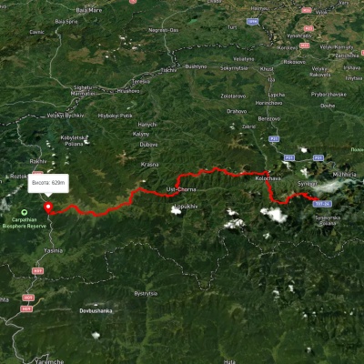
We suggest these hiking trails through or near Mount Yasnovets: Kolochava village, via Mount Darvaika and Mount Nehrovets to Kolochava village, Synevyr village, via Mount Nehrovets, Mereshor village, Krasna ridge, Ust-Chorna village and Svydovets ridge to Kvasy village, Mount Nehrovets – Synevyr village, Transcarpathian Tourist Trail, Synevyr village, via Mount Nehrovets to Kolochava village, Synevyr village – Mount Nehrovets