Gorgan ridge traverse
Trail map
Route, springs and shelters: © OpenStreetMap contributors (ODbL) · elevation: Copernicus DEM © DLR e.V., © Airbus DS · Data & licences
Where to stay nearby
About the trail
Route Gorgan ridge traverse. Has orange marking (local route). Waymarking data: OpenStreetMap (© OpenStreetMap contributors, ODbL).
Officially marked local tourist route. The marking is orange, the sign is a triangle in the corner on a white background. The length of the route is 8.1 km. Location: mountain range — Gorgany, Ivano-Frankivsk region.
At a glance
A short route of 8.1 km with 106 m of ascent. Estimated walking time: about 2 h, not counting stops. Difficulty: easy. Waymarking: orange.
Route stages
- 0–8 kmGentle ups and downs at 1,330–1,470 m
Steepest kilometre: km 7–8, a descent of 100 m (≈10%).
Water and overnight stays
Springs near the trail: at km 0.5, 3.5 and 6.5.
When to go
Best time: May to October. In winter deep snow is possible, so experience and winter gear are needed.
Getting there
This is a one-way route: the finish is 7 km from the start in a straight line, so plan your way back in advance.
FAQ
- How long does the route take?
- Estimated walking time: about 2 h, not counting stops.
- Is there water on the route?
- Springs near the trail: at km 0.5, 3.5 and 6.5.
Water and shelter on the route
- Spring below Mount Kinets Horhanu (3)km 0.7 from the start · Not verified · 1 371 m
- Spring below Mount Kinets Horhanukm 3.5 from the start · 190 m off the path · Not verified · 1 510 m
- Spring (Osmoloda, 18)km 6.6 from the start · 180 m off the path · Not verified · 1 514 m
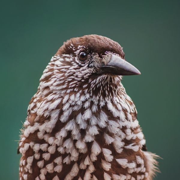
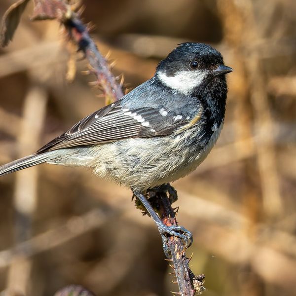
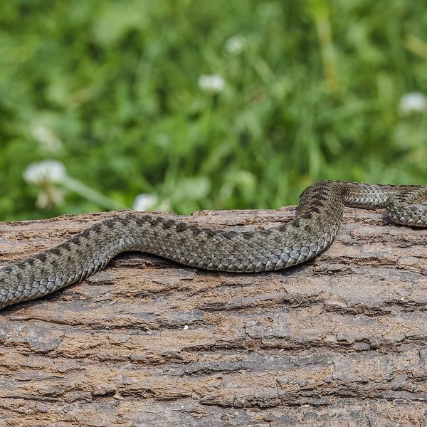
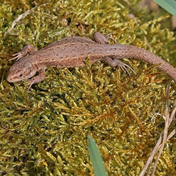
Wildlife along the route
All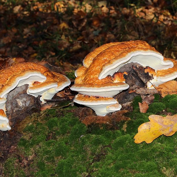
- Brown bears live in this area — how to behave
- Mushroom season — but never identify a mushroom from a photo alone
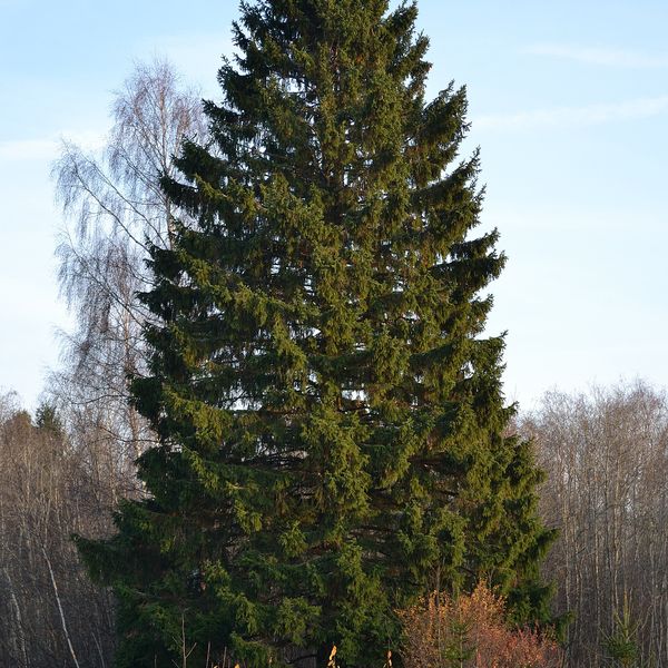
Based on naturalists’ records nearby (GBIF, iNaturalist), matched by altitude, habitat and season. Sightings are not guaranteed.
Before you go, check the border-regime restrictions: Border Guard permit for mountain hikes (in Ukrainian)
Comments
Trails nearby
All trails EasyOne-dayMarkedOsmoloda Mount GorganElevation profile721–1 579 m9.6 kmascent 13 m≈ 2.5 h walking
 HardMulti-dayTatariv village to Myslivka villagevia Mount Syniak, Mount Dovbushanka +6Elevation profile656–1 836 m171.1 kmascent 10 799 m
 HardMulti-dayRakhiv to Osmoloda villagevia Mount Blyznytsia, Mount Troiaska +1Elevation profile431–1 883 m134.1 kmascent 7 367 m
Craft nearby
All craft places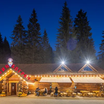 Koliby & Hutsul cuisineBabyn Bograch Tavern, Polianytsia (Bukovel)Polianytsia (Bukovel)28 km from the trailBabyn Bograch tavern ("Grandma's Bograch") is located inside the Hutsul Land ethno park in Polianytsia, at the Bukovel resort, behind the Lake of Youth.
 Water parks & thermal poolsMAVKA water park, BukovelPolianytsia (Bukovel)28 km from the trailMAVKA water park is Bukovel's largest indoor water park and one of the most modern in Ukraine. It opened in early 2025 in the Shchyvky area, near Lake Molodosti and...
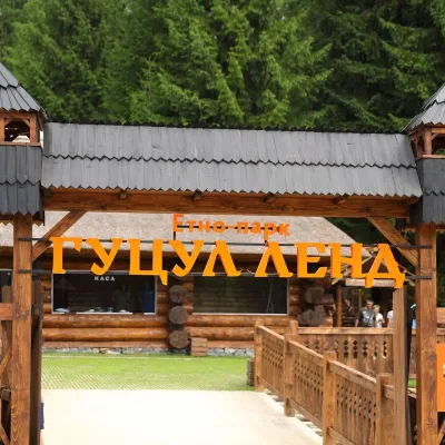 Ethno parks & homesteadsHutsul Land Ethno Park, PolianytsiaPolianytsia (Bukovel)28 km from the trailHutsul Land Ethno Park is a space at the Bukovel resort where the old ways of the Hutsuls, Boikos and Lemkos are shown not behind glass but in living form.
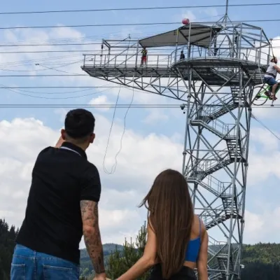 Adventures & attractionsAdrenaline Tower (rope jump), BukovelPolianytsia (Bukovel)29 km from the trailThe Adrenaline Tower is a steel tower on the shore of Lake Molodosti in Bukovel from which people take a free-fall rope jump, and the hub of several high-altitude...
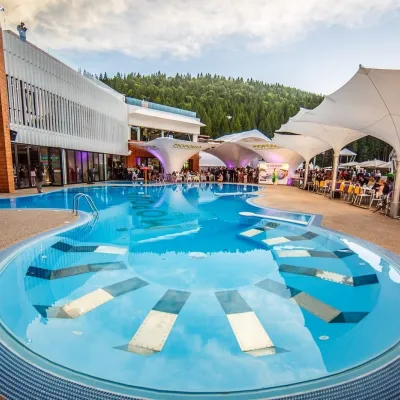 Water parks & thermal poolsVODA club spa and beach club, BukovelPolianytsia (Bukovel)29 km from the trailVODA club is a large all-season pool, spa and beach club complex on the shore of Lake Molodosti in Bukovel (Polianytsia village).
 Markets & fairsBukovel Souvenir Market, PolianytsiaPolianytsia (Bukovel)29 km from the trailBukovel's souvenir market is a row of shops and stalls right in the centre of Ukraine's largest ski resort, on the territory of Polianytsia village.
