Stoat
About
The Stoat is a small, very agile predator from the weasel family. In Ukraine, it is found almost throughout the territory, except for Crimea and coastal areas, and lives in river valleys, along streams, brooks, and ponds, near swamps, in forests and on forest edges, in clearings and thickets. Occasionally, it ventures into fields and even villages.
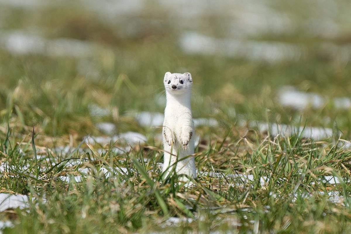
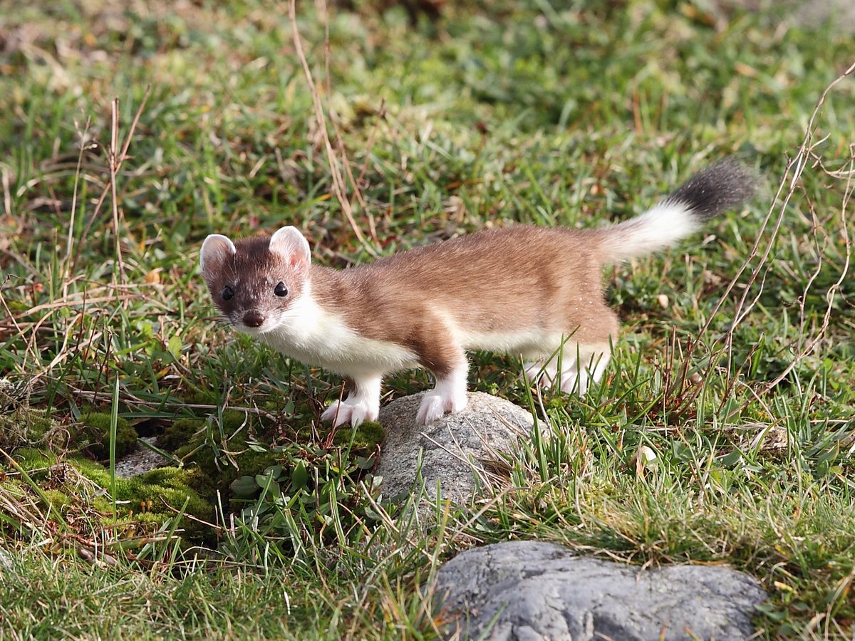
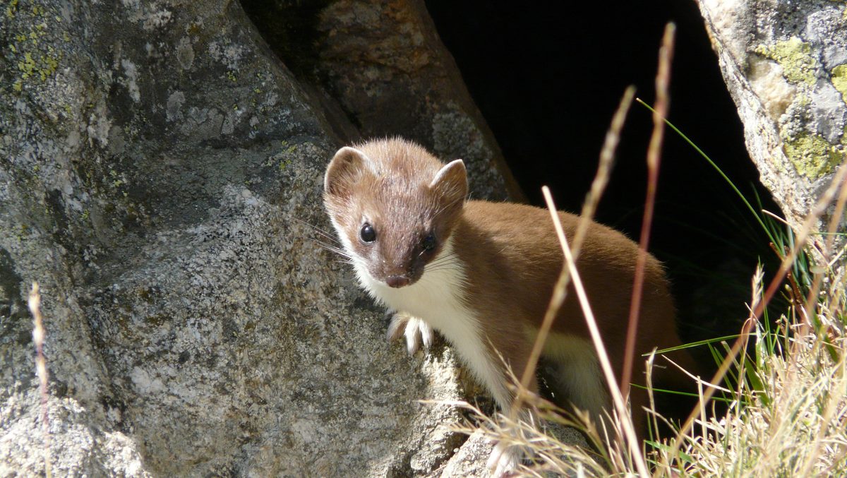
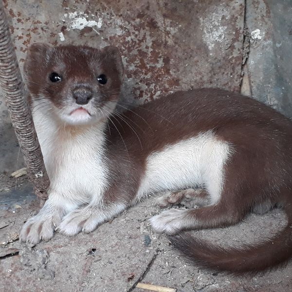
Its body is long and flexible, with short legs, and the length of adult animals ranges from 16 to 38 cm including the tail. In summer, the Stoat is reddish-brown on top and white underneath, while in cold regions in winter, it becomes dazzlingly white. The only constant is the tip of the tail, which is always black. This feature makes it easiest to distinguish the Stoat from the similar but smaller Weasel, which has a short tail without a black tuft.
The Stoat is active all year round, more often at dusk and at night. It swims excellently, climbs bushes and trees, and after snowfalls, hunts right under the snow. It mainly eats mice and voles, often destroying more than it can eat during years of their mass reproduction, as well as birds and their eggs, reptiles, and frogs. It makes its den in rodent burrows, tree hollows, piles of brushwood, and among stones. The pregnancy in females is very long, lasting 210–330 days, as the embryo takes a long time to start developing.
Due to diseases, harsh winters, and the drainage of swamps, the number of Stoats has decreased. In the Red Book of Ukraine 2021, the Stoat has the status of a vulnerable species, so hunting it is prohibited.
Where in the Carpathians

The map shows where naturalists recorded the species (GBIF, CC0 and CC BY records), not every place it lives. The Ukrainian Carpathians are less studied, so a blank area does not mean the species is absent.
- Countries
- Ukraine · Czechia · Poland · Slovakia · Romania · Austria
- Mountain ranges
- Chornohora, Maramureș Mountains, Gorgany, Svydovets, Pokuttia-Bukovina Carpathians, Krasna Polonyna, Polonynian Ridge, Silesian Beskids, Slovak Ore Mountains
- Altitude belts
- Foothills (below 600 m) · Beech forests (600–1200 m) · Conifer forests (1200–1600 m)
When to see it
| Jan | Feb | Mar | Apr | May | Jun | Jul | Aug | Sep | Oct | Nov | Dec | |
|---|---|---|---|---|---|---|---|---|---|---|---|---|
| Sightings |
From naturalists’ observations in the Carpathians (iNaturalist, research grade): the darker the cell, the more often the species is seen that month.
Protection and rules
A species in the Red Book of Ukraine (vulnerable); hunting is prohibited.
FAQ
How to distinguish the Stoat from the Weasel?
The Stoat has a longer tail with a black tip that remains black even in winter. The Weasel is smaller, and its short tail lacks a black tuft.
Is the Stoat listed in the Red Book of Ukraine?
Yes, in the 2021 list, it has the status of a vulnerable species, so hunting it is prohibited.
Similar species
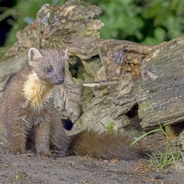
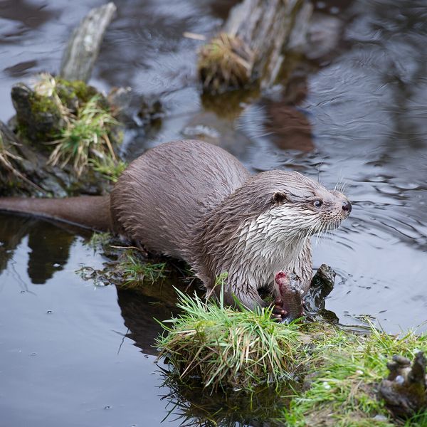
Where to meet it
Trails
 HardMulti-dayVovchyi village to the railway stationvia Mount Stiy, the Mount Velykyi Verkh traverse +1Elevation profile288–1 681 m29 kmascent 1 497 m≈ 10 h walking
 HardMulti-dayDragobrat to Chorna Tysa villagevia Mount Velykyi Kotel, Mount Lohiaska +1Elevation profile731–1 762 m30 kmascent 1 319 m≈ 10 h walking
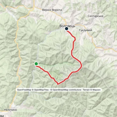 HardTwo-day1662 km railway halt to Volovetsvia Mount Stiy, Mount Velykyi VerkhElevation profile370–1 681 m23.5 kmascent 1 486 m≈ 9 h walking
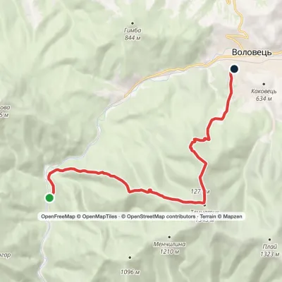 ModerateOne-dayMarkedZanka railway halt to Volovetsvia Mount Temnatyk, Mount TsytskaElevation profile409–1 343 m11.9 kmascent 934 m≈ 5 h walking
 HardMulti-dayChorna Tysa village loopvia Mount Dohiaska, Mount Troiaska +1Elevation profile777–1 762 m45.3 kmascent 1 258 m≈ 14 h walking
 HardMulti-dayMarked1662 km railway station to Mizhhiriavia Mount Stiy, Mount Hemba +1Elevation profile368–1 681 m54.2 kmascent 2 489 m
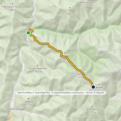 ModerateOne-dayMarkedOsa Mount StiyElevation profile366–1 343 m7.5 kmascent 984 m≈ 4 h walking
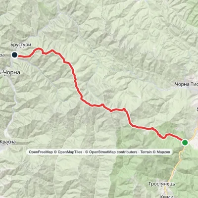 HardMulti-dayYasinia to Lopukhiv villagevia Mount Stih, Mount Troiaska +1Elevation profile577–1 762 m40.3 kmascent 1 923 m≈ 14 h walking
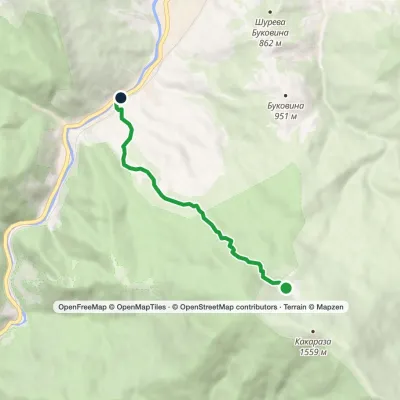 EasyOne-dayMarkedYasinia (Svydovets)Elevation profile628–1 269 m4.8 kmascent 3 m≈ 1 h walking
 HardMulti-dayChorna Tysa village to Kvasy villagevia Dragobrat, Lake Vorozheska +3Elevation profile631–1 771 m36.6 kmascent 1 728 m≈ 12.5 h walking
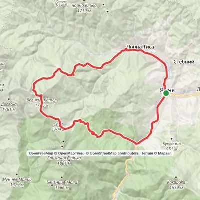 HardMulti-dayYasinia loopvia Dragobrat, Mount Stih +2Elevation profile625–1 771 m46.2 kmascent 1 512 m
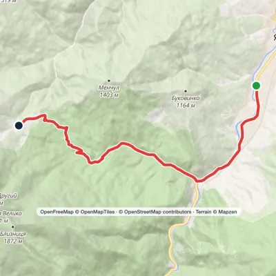 ModerateOne-dayYasinia DragobratElevation profile625–1 349 m13 kmascent 746 m≈ 4.5 h walking
Peaks and meadows
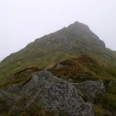 PeakMount TemnatykVolovetsaltitude 1 343 m · Borzhava rangeTemnatyk (also Tomnatyk) is a peak on the far north-western spur of the Polonyna Borzhava massif in Zakarpattia Oblast.
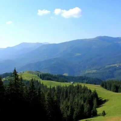 Mountain meadowPolonyna Psarivka, BystretsVerkhovynaUkrainians, for example, call such meadows polonyny. Today we will talk about the Psarivka meadow.
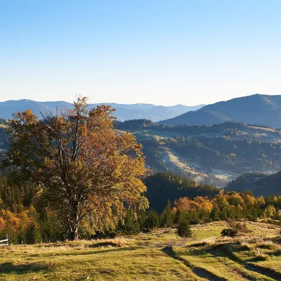 Mountain meadow1 200 mPolonyna SmotrychDzembroniaSmotrych Polonyna is a summer mountain pasture on the north-eastern spur of Mount Smotrych (1,898 m) in the...
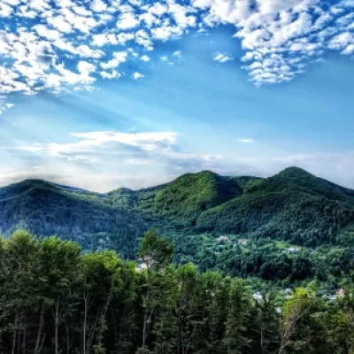 PeakMount Sopka (Stizhky, Zinyakov top).Kosivaltitude 620 m2 trails to the topStizhki (620 meters) offers a panoramic view of the city of Kosiv. The mountain is covered with forests - beech,...
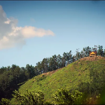 PeakMount Ostry (Ostra)Kosivaltitude 584 m2 trails to the topThe mountain offers wonderful views of the entire Kosiv. The descent is steep, and autumn is magical here.
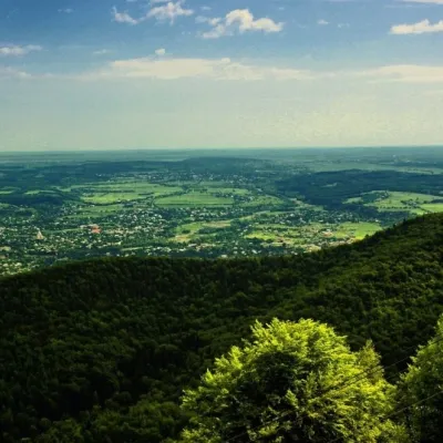 PeakMount Mykhalkova (Kosiv)Kosivaltitude 812 m2 trails to the topMount Mykhalkova (Mykhalkiv), with a height of 812 meters, is part of the Pokuttya Carpathians.
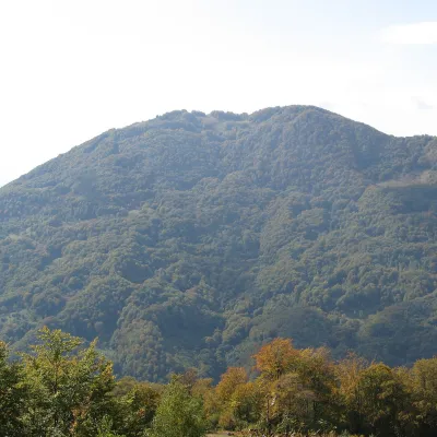 PeakMount KobylaKobyletska Polianaaltitude 1 177 m · Svydovets rangeKobyla is a 1,177 m mountain in the Rakhiv district of Zakarpattia Oblast.
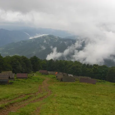 Mountain meadow1 350 mPolonyna BrailkaKvasyPolonyna Brailka (in some sources and on our site also Braivka) is a mountain pasture on the south-eastern slopes of...
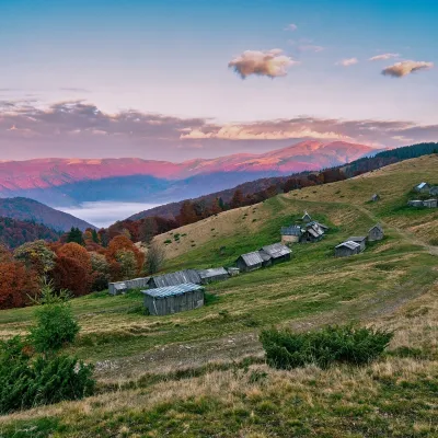 Mountain meadow1 240 mPolonyna Menchul (Kvasy)KvasyMenchul Polonyna above the village of Kvasy is a broad open shoulder on the south-western spur of the Chornohora...
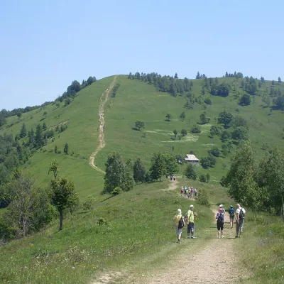 Mountain meadowMount Makovytsia, YaremcheYaremchealtitude 984 m · Gorgany range7 trails to the topMakovytsia (984 m) is a mountain of the Gorgany range on the eastern edge of Yaremche, in the Carpathian National...
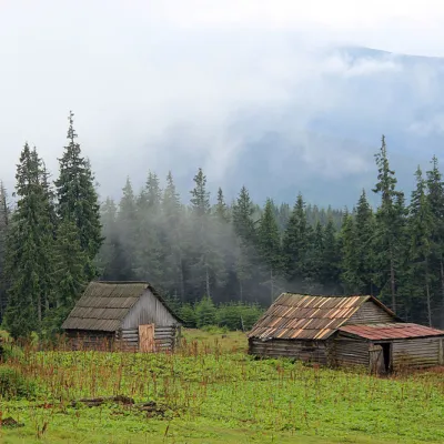 Mountain meadow1 440 mPolonyna Kukul (Kukul), VoronenkoVoronenkoPolonyna Kukul is a mountain meadow in the Ukrainian Carpathians, within the Kukul ridge (Kukul mountain - 1539 m),...
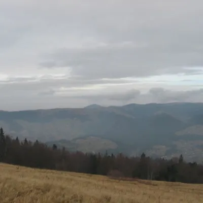 Mountain meadow1 136 mPolonyna BorsuchynaVorokhtaPolonyna Borsuchyna is located in Vorokhta, Ivano-Frankivsk region, at an altitude of 1136 meters in the Carpathians.
Mountain ranges: Chornohora, Maramureș Mountains, Gorgany, Svydovets, Pokuttia-Bukovina Carpathians, Krasna Polonyna, Polonynian Ridge. In other countries: 🇵🇱 Silesian Beskids, 🇸🇰 Slovak Ore Mountains
Trails and peaks near which naturalists recorded the species (GBIF, iNaturalist), matched by altitude and habitat. Sightings are not guaranteed.
Sources
- Вікіпедія: Горностай
- Wikipedia (en): Stoat
- Перелік видів тварин, що заносяться до Червоної книги України (наказ Міндовкілля від 19.01.2021 № 29, зареєстровано в Мін'юсті 01.03.2021 за № 260/35882)
- Міндовкілля: текст переліку видів тварин Червоної книги України (PDF)
- GBIF: таксон і категорія МСОП
GBIF · iNaturalist · Wikidata · Distribution data: GBIF.org (CC0 and CC BY records), iNaturalist; names and identifiers: Wikidata (CC0). Text: Karpaty.rocks, checked 09.11.2026.
