Polonyna Smotrych
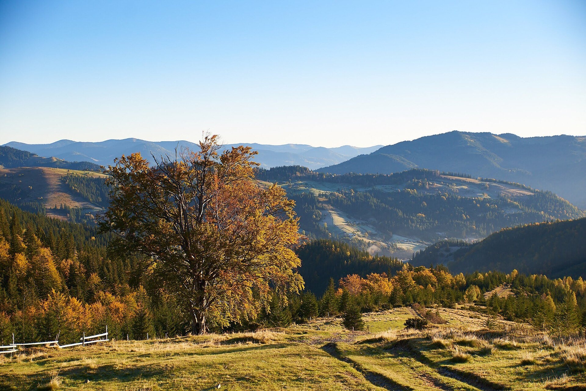
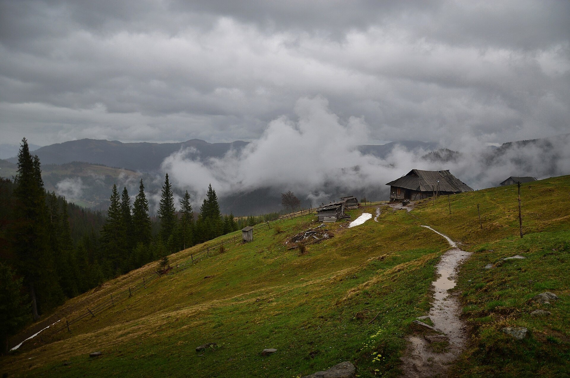
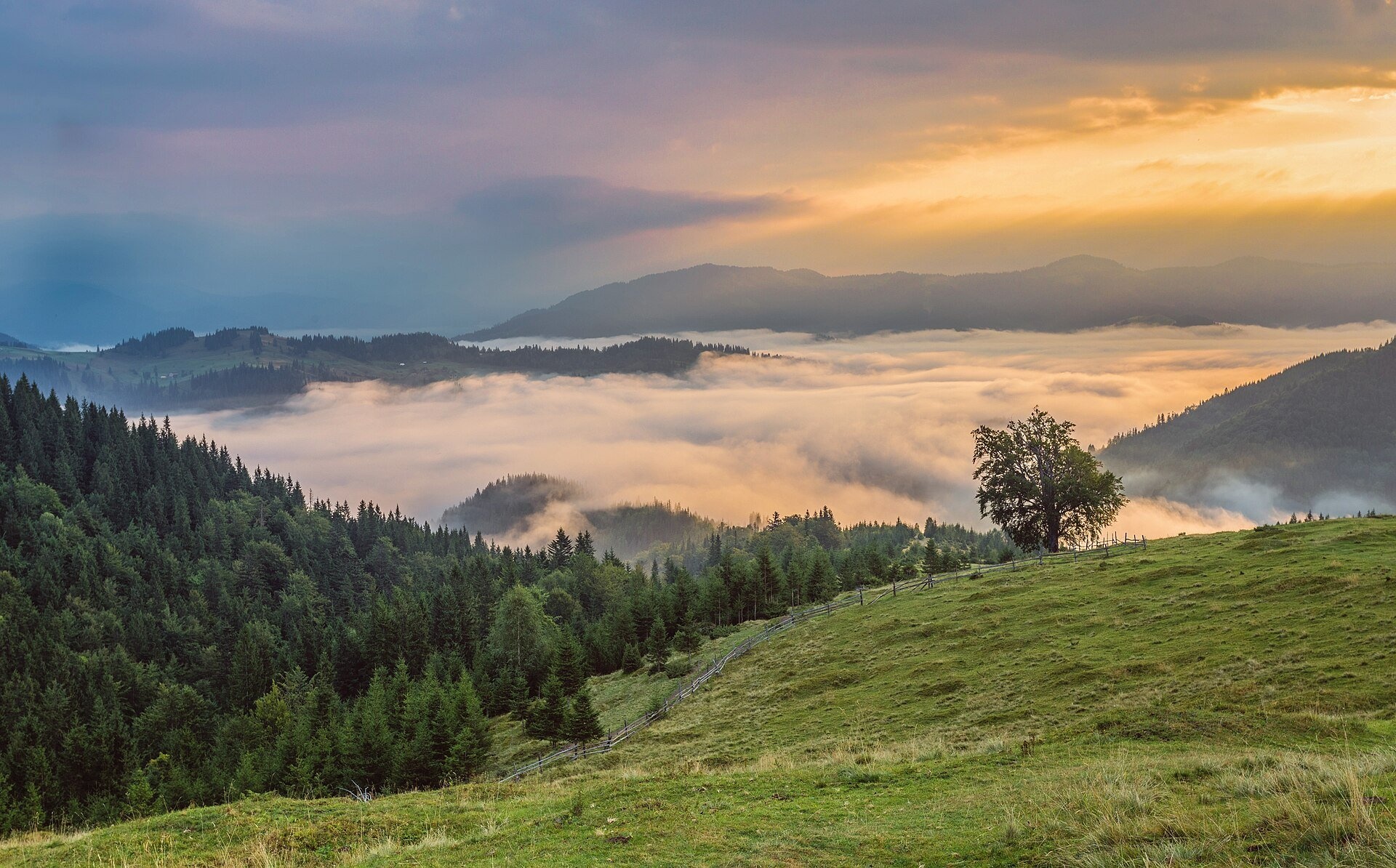
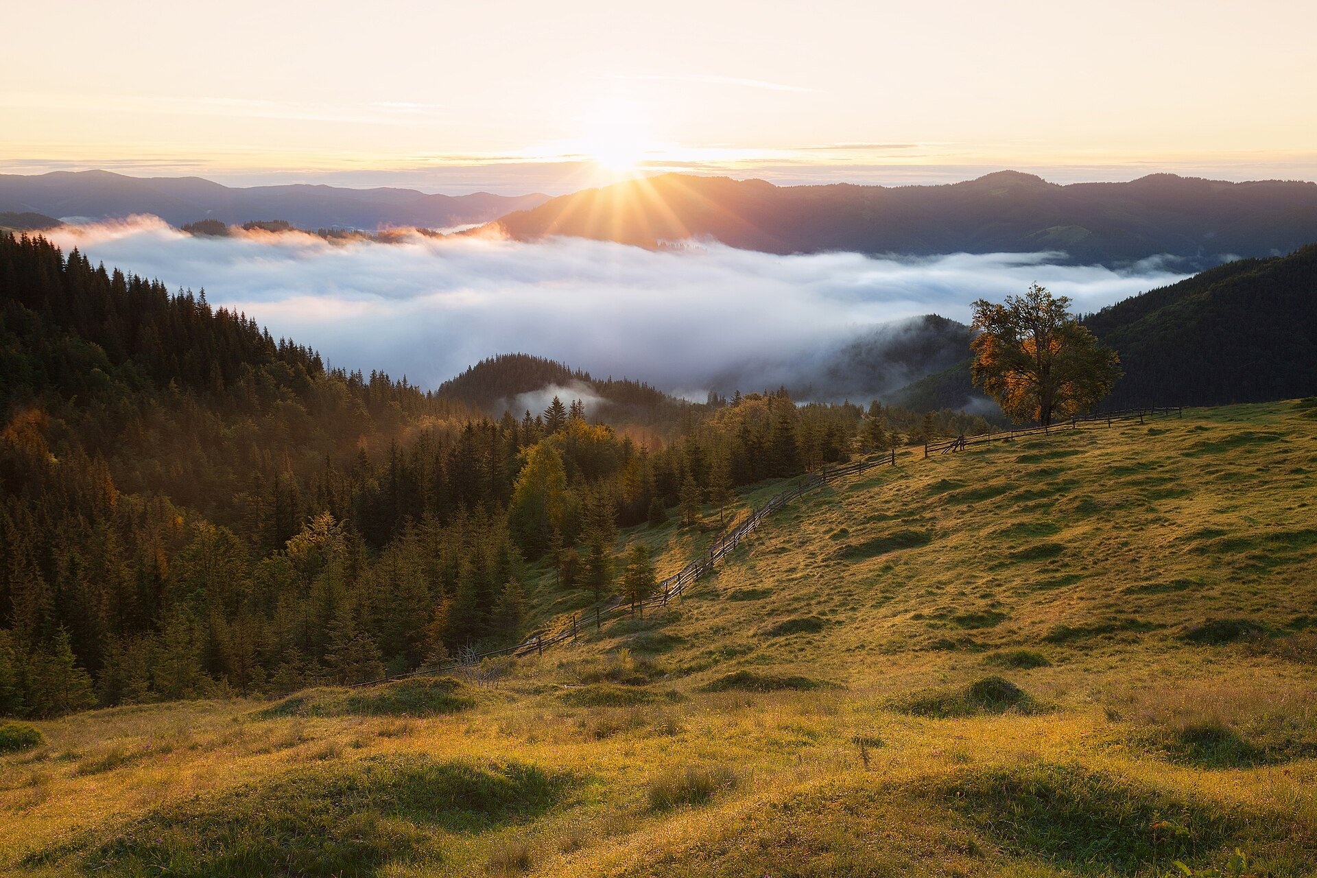
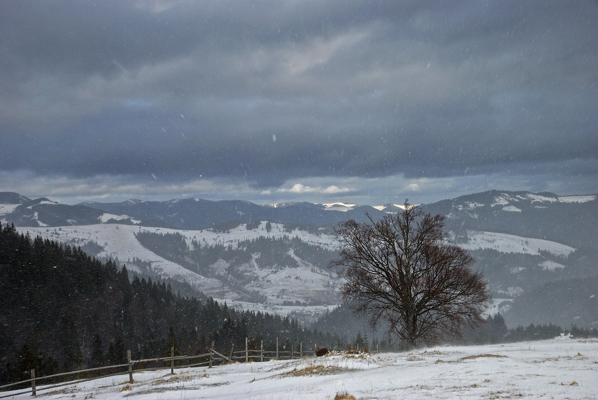
Smotrych Polonyna is a summer mountain pasture on the north-eastern spur of Mount Smotrych (1,898 m) in the Chornohora massif, right above the village of Dzembronia in the Verkhovyna district of Ivano-Frankivsk Oblast. It lies at roughly 1,030–1,350 m, and its most visited part with the shepherds' hut is at about 1,200 m. The open meadow covers about 30 hectares. The area belongs to the Carpathian National Nature Park.
For most hikers Smotrych Polonyna is the first big stop on the way from Dzembronia to Smotrych, Vukhatyi Kamin and Pip Ivan Chornohirskyi. Yet it is worth the trip on its own: it is one of the best viewpoints above Dzembronia and can be reached relatively easily in an hour or an hour and a half.
What you will see
The polonyna overlooks the Dzembronia valley with houses scattered over the slopes, the rocky summit of Smotrych and the Chornohora ridge. Its signature features are lone old beech trees and wooden fences that photographers capture in every season. Sunrise is especially beautiful: the valleys often fill with a sea of fog while the Chornohora peaks rise above it. In autumn the slopes around the meadow turn russet and gold, and in winter the polonyna is covered in snow and becomes a quiet white clearing in the middle of the spruce forest.
Above the polonyna the path enters spruce forest and dwarf pine, and the Smotrych crest is covered with boulder fields and rocks in which people see the shapes of animals.
Shepherds, huts and cheese
In summer livestock, mostly cows, graze on the polonyna and herders live here. Travel guides mention that you can buy fresh brynza, budz and vurda from them. There is a shepherds' hut (staia) on the meadow — on our map it is marked as the Molocharnia hut. Nobody can guarantee in advance whether the herders are working this season or whether cheese is for sale: it depends on who brought how many animals up. So bring your own food and treat cheese as a pleasant bonus. When buying, behave as a guest: do not enter the hut without an invitation and do not photograph people without permission.
History and legends
Before the Second World War the mountain was known to Polish hikers as Smotrec and was described in Chornohora guidebooks of the 1930s. During the First World War the front line ran through Chornohora: Wikimedia Commons holds a historical photograph from 1917 captioned as the storming of positions on Smotrych. On the other side of the summit, in a cirque at about 1,700 m, a shelter of the Warsaw academic sports association AZS operated before the war — only remains are left today.
Routes
- Dzembronia — Smotrych Polonyna: blue marking from the village shop, about 2.8 km, 1–1.5 hours, about 400 m of ascent. The simplest option for those not planning any summits: the polonyna is a worthy goal for a walk in its own right.
- Polonyna — Smotrych summit: another 2.5 km and about 2 hours, with some 665 m of ascent. This is the steepest part of the route. An easier option, 1.5 km longer, goes via Vukhatyi Kamin.
- Dzembronia waterfalls — polonyna: about 2.1 km, roughly 45 minutes. The waterfalls and the polonyna combine nicely into one loop.
- Loop via Vukhatyi Kamin and Smotrych: our site has the track Dzembronia — Smotrych Polonyna — Smotrych — Vukhatyi Kamin — Dzembronia (about 10.4 km, blue marking) and a longer variant via Vukhatyi Kamin and Smotrych (14.4 km).
- To Pip Ivan: Dzembronia — Smotrych — Pip Ivan Chornohirskyi (19.5 km) or the big loop via Pip Ivan and Smotrych; according to guidebooks the full circuit returning via the polonyna is about 24 km and 9–10 hours of walking.
Getting there
The starting point is the village of Dzembronia. By car, drive to Verkhovyna and then up the Chornyi Cheremosh valley through Krasnyk and Bystrets. The last kilometres of road are narrow and partly unpaved, so drive slowly. Cars are usually left by the shop in Dzembronia. Scheduled buses run from Verkhovyna to Dzembronia (several times a day; check the timetable at the bus station). You cannot drive up to the polonyna itself: locals sometimes take tourists up in trucks, but you will still have to walk the rest.
When to go and weather
The best time is from late May to October. Livestock is driven up to the polonyna roughly from late May or June until September. October brings the brightest colours and the most frequent valley fog. In winter you can reach the polonyna on snowshoes, but higher up, on the steep slopes of Smotrych, there is avalanche danger — this is only for experienced hikers. Weather in Chornohora changes fast: even in summer take a rain jacket and a warm layer.
Water, shelters and overnight
There are several springs on and near the polonyna — for example, the spring below Mount Smotrych near the shepherds' hut and another one slightly higher. In winter and in dry summers springs may run dry, so carry enough water. You can shelter from bad weather in the Molocharnia hut (if it is not occupied by herders) or in the shelter below Mount Smotrych, whose condition has not been checked for a long time. The most convenient places to stay are Dzembronia, Bystrets and Zelene, which have guesthouses and homesteads.
Safety
- Border regime. In 2024 the State Border Guard Service temporarily restricted access to a number of Chornohora peaks, including Smotrych, Vukhatyi Kamin and Pip Ivan. In 2026 a border guard checkpoint operated at the entrance to Dzembronia. Before your trip, check the current rules with the 31st Border Guard Detachment (it is advised to submit a route application at least 5 days in advance), carry your passport, and men should carry their military registration documents.
- Shepherd dogs may be near the livestock: do not run, walk around the herd at a distance and call the herder.
- The slopes of Smotrych are very steep, and the descent from Vukhatyi Kamin to the waterfalls is abrupt and slippery after rain.
- In fog it is easy to lose the path on the open slopes: have an offline map and a track.
- During thunderstorms do not stay on open ridges.
- In an emergency call 112 or 103; the mountain search and rescue service of the State Emergency Service (DSNS) works around the clock.
What visitors say
- The polonyna is called one of the most picturesque in the Carpathians and the best starting point for any hike from Dzembronia.
- Most people manage the climb from the village to the polonyna without much difficulty, but the section from the polonyna to the Smotrych summit is the hardest part of the day.
- Hikers advise thinking about footwear in advance: the path can be soggy, and in winter the snow can be more than knee-deep.
- In summer cows graze on the polonyna and you can sometimes buy brynza or vurda from the herders; in spring and autumn the meadow is empty.
- Many consider the sunrise on the polonyna with a sea of fog in the valley worth an extra night in Dzembronia.
- Many people do the Dzembronia — Vukhatyi Kamin — Smotrych loop in a day, including with children, but they set aside a full day of daylight for it.
Polonynas and peaks around
- Mount Smotrych (1,898 m) — the rocky summit above the polonyna.
- Vukhatyi Kamin (1,864 m) — rock "ears" on the neighbouring spur.
- Pip Ivan Chornohirskyi (2,028 m) with the "White Elephant" observatory.
- Mount Dzembronia (1,877 m) and Mount Staiky — neighbours in Chornohora.
- Lake Marycheika — a mountain lake below Pip Ivan.
- Psarivka Polonyna above Bystrets and Vesnarka Polonyna near Zelene.
- Maryshevska Polonyna and Hadzhyna Polonyna — to the north-west, above Bystrets.
Photos: Polishchyk, CC BY-SA 4.0, Wikimedia Commons; Tanya Troyan, CC BY-SA 4.0, Wikimedia Commons; Ryzhkov Oleksandr, CC BY-SA 4.0, Wikimedia Commons; Khoroshkov, CC BY-SA 4.0, Wikimedia Commons; Nata Mostova, CC BY-SA 4.0, Wikimedia Commons.
Video 2
 ЖИТТЯ У ВИСОКОГІР'Ї КАРПАТ || Мандрівка на гору ПІП ІВАН через ПОЛОНИНУ СМОТРИЧ та ВУХАТИЙ КАМІНЬKitty Mountain

Location on the map
Water and shelter nearby
- Cabin “The Dairy”330 m · Standing · 1 209 m
- Spring below Mount Smotrych (4)430 m · Not verified · 1 232 m
- Spring below Mount Smotrych (3)470 m · Not verified · 1 260 m
- Spring below Mount Smotrych (2)840 m · Not verified · 1 276 m
- Spring below Mount Smotrych870 m · Not verified · 1 281 m
- Drinking water (Dzembronia)1.9 km · Not verified · 940 m
- Spring below Mount Vukhatyi Kamin (10)2.8 km · Not verified · 1 372 m
- Spring below Mount Vukhatyi Kamin (9)2.8 km · Not verified · 1 375 m
Comments
Places to stay nearby
All stays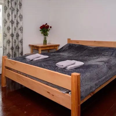 HomesteadHomestead "Sharm karpaty"Iltsi9.6 km from Polonyna SmotrychSaunaSPABBQNearby: Polonyna Krinta 2.5 kmMuseum of mushrooms 2.8 km17 trails
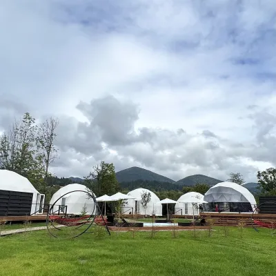 HotelGlamping EcoSpace EthnoIltsi9.6 km from Polonyna SmotrychHot tubPoolNearby: Polonyna Krinta 2.5 kmMuseum of mushrooms 2.8 km17 trails
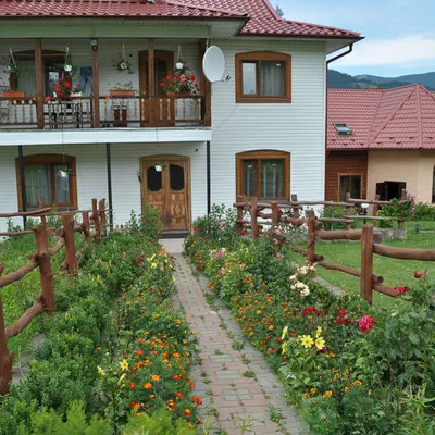 CottageCottage "Trembita" VerkhovynaVerkhovyna11 km from Polonyna SmotrychSaunaBBQKitchenNearby: Museum of mushrooms 1.2 kmPolonyna Krinta 4.1 km17 trails
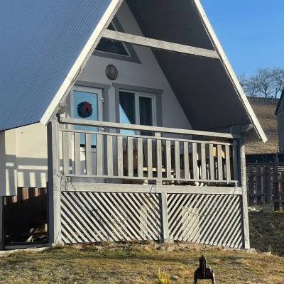 HomesteadHomestead "Bilosnizhny"Verkhovyna12 km from Polonyna SmotrychHomestead "Bilosnizhny" is located in the village of Iltsi, 250 meters from the main road, 8 km to the center of the village of Verkhovyna, near the Tatariv-Verkhovyna...Nearby: Assumption Church 2.8 kmMt Bila Kobyla 5.9 km17 trails
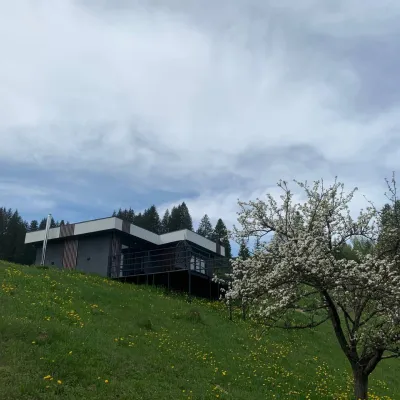 CottageRest in the CarpathiansVerkhovyna14 km from Polonyna SmotrychNew modern cottage for a good rest and positive emotions.Nearby: Assumption Church 1.3 kmPolonyna Krinta 6.2 km12 trails
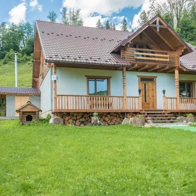 HomesteadHomestead "Pid Yasenem" VerkhovynaVerkhovyna12 km from Polonyna SmotrychHot tubBBQKitchenNearby: Assumption Church 3.5 kmPolonyna Krinta 5.3 km17 trails
Trails nearby
All trails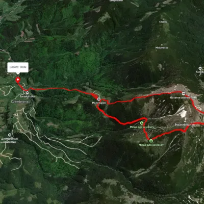 ModerateOne-dayUnmarkedDzembronia village loopvia Mount Vukhatyi Kamin, Mount SmotrychElevation profile844–1 933 m14.4 kmascent 1 203 m≈ 6 h walkingunder 1 km from Polonyna Smotrych
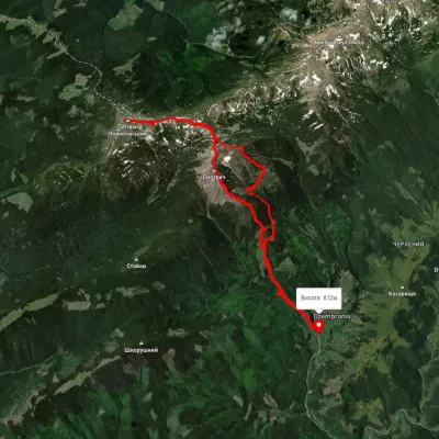 HardMulti-dayUnmarkedDzembronia village loopvia Mount Pip Ivan Chornohirskyi, Mount SmotrychElevation profile811–2 032 m25.3 kmascent 1 500 m≈ 9.5 h walkingunder 1 km from Polonyna Smotrych
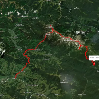 HardMulti-dayUnmarkedIltsi village to Zaroslyak basevia Mount Smotrych, Mount Pip Ivan Chornohirskyi +2Elevation profile51.4 kmascent 2 872 mmax 1 980 munder 1 km from Polonyna Smotrych
Nearby attractions
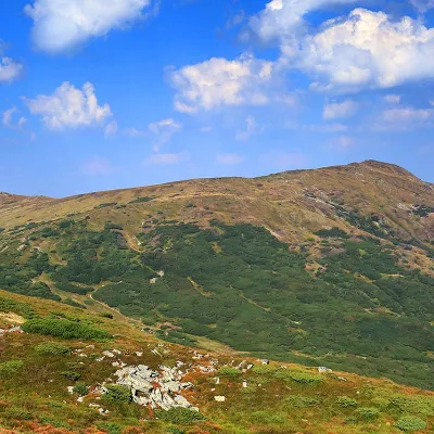 PeakMount SmotrychDzembroniaaltitude 1 898 m · Chornohora range2.4 km from Polonyna Smotrych55 trails to the topMount Smotrych (also known as Smotrets) is an 1898-meter peak of the Ukrainian Carpathians. It is located in the Carpathian National Nature Park on the Chornohora...
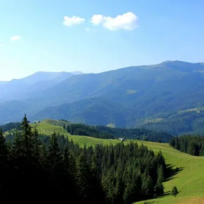 Mountain meadowPolonyna Psarivka, BystretsVerkhovyna3.8 km from Polonyna SmotrychUkrainians, for example, call such meadows polonyny. Today we will talk about the Psarivka meadow.
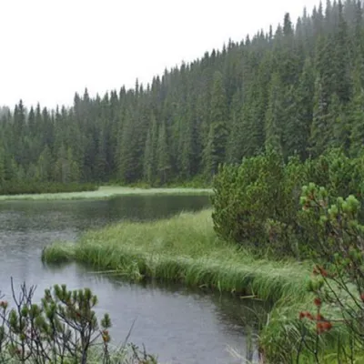 LakeLake MaricheykaYavirnyk (Shybene)5.4 km from Polonyna SmotrychLake Maricheyka is one of the most picturesque high-altitude glacial lakes in the Carpathians, located on the northeastern slope of Mount Shuryn, in the Chornohora...
Craft nearby
All craft places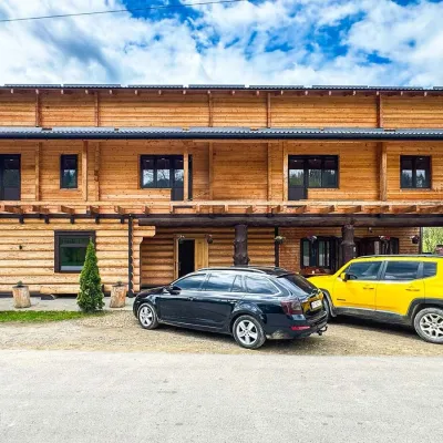 Koliby & Hutsul cuisineZRUB Ethno Restaurant, IltsiIltsi10 km from Polonyna SmotrychZRUB Ethno Restaurant is a new log-built home of Hutsul cooking in the village of Iltsi, on the edge of Verkhovyna, the town often called the Hutsul capital.
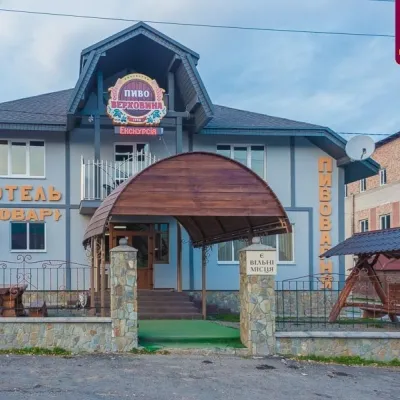 Craft beer & breweriesVerkhovyna Brewery at the Pyvovar Motel, VerkhovynaVerkhovyna13 km from Polonyna SmotrychVerkhovyna Brewery operates at the Pyvovar motel on the approach to Verkhovyna, the Hutsul capital of the Carpathians.
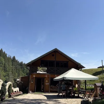 Craft shopsKopalnia Bryndzy cheese shop and tasting, VerkhovynaVerkhovyna13 km from Polonyna SmotrychKopalnia Bryndzy (“The Brynza Mine”) is a small farm cheese shop with a tasting room on the edge of Verkhovyna, in the valley of the Zhabievskyi stream.
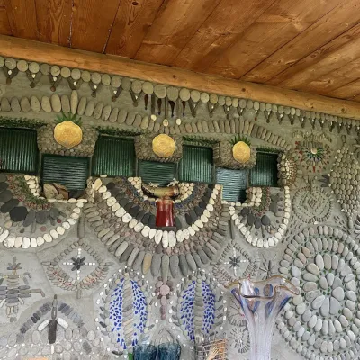 Ethno parks & homesteadsTsikava Sadyba Art and Ethno Homestead, VerkhovynaVerkhovyna14 km from Polonyna SmotrychTsikava Sadyba («The Curious Estate») is a private art homestead in the very centre of Verkhovyna that local housewife and artist Oksana Susiak has been shaping since...
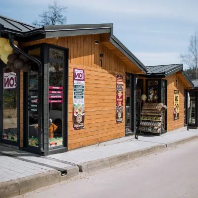 Markets & fairsTorhovyshche Souvenir Market, VerkhovynaVerkhovyna15 km from Polonyna SmotrychTorhovyshche is a modern souvenir market right in the centre of Verkhovyna, the capital of the mountain Hutsul region.
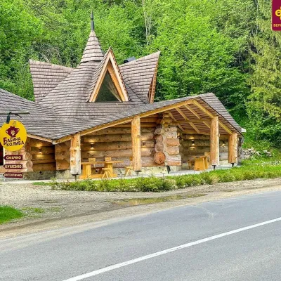 Koliby & Hutsul cuisineBabyna Kolyba, KryvorivniaKryvorivnia19 km from Polonyna SmotrychBabyna Kolyba («Granny's Koliba») serves authentic Hutsul food in Kryvorivnia, a village sometimes called the «Ukrainian Athens»: Ivan Franko, Mykhailo Kotsiubynskyi...
