Eurasian otter
About
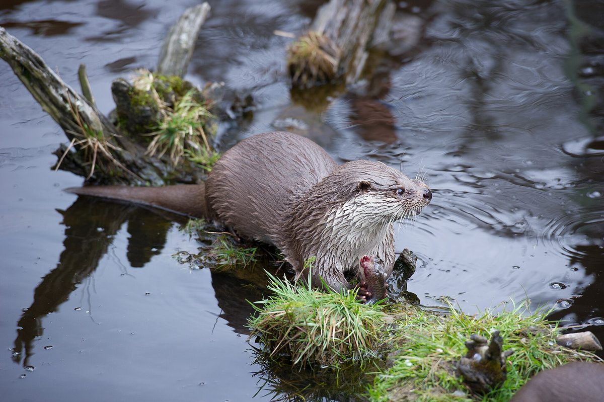
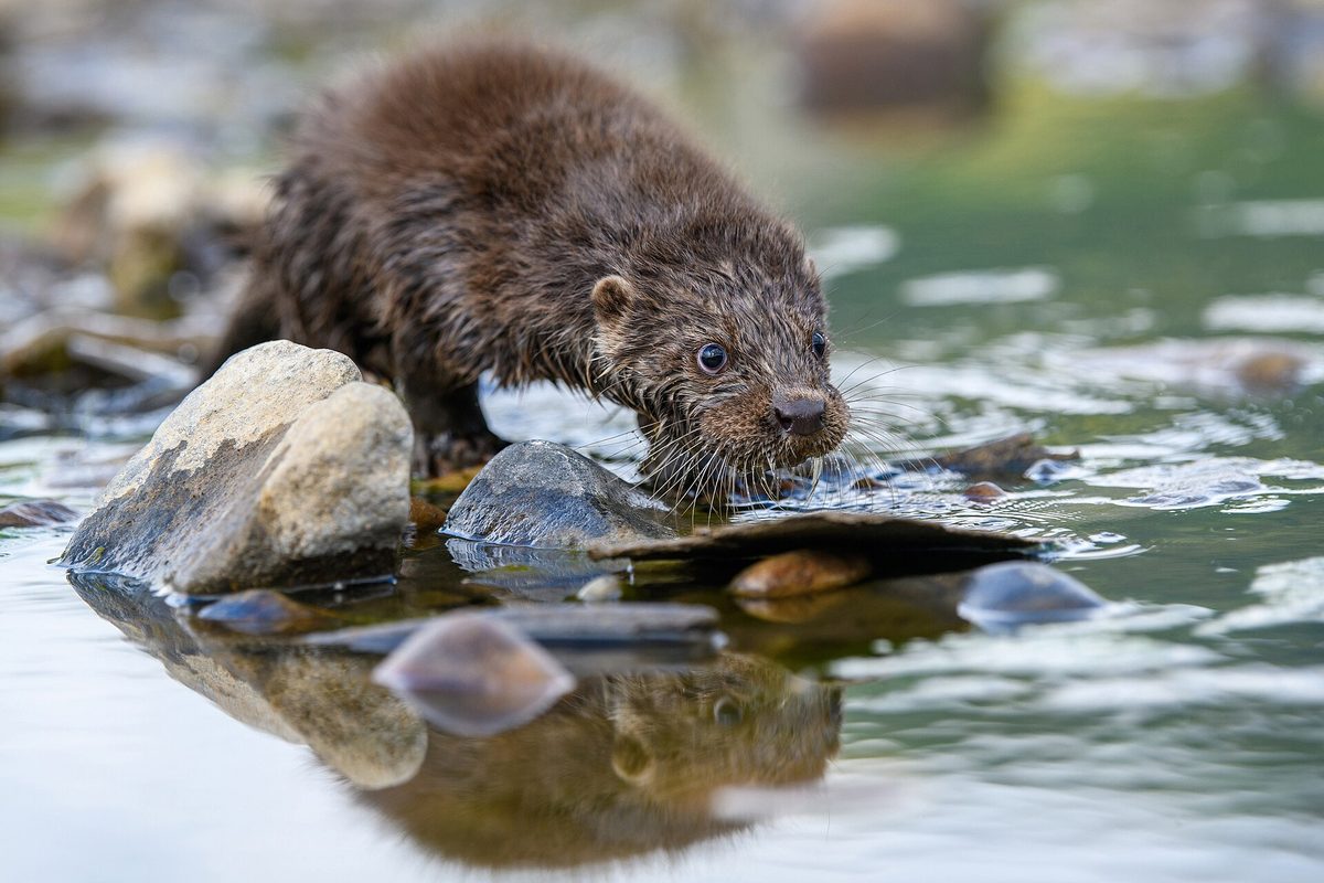
The Eurasian otter is a semi-aquatic predator from the weasel family, which can be found in the Carpathians along clean rivers and streams from the foothills to the mountain valleys. It inhabits the Tysa, Uzh, Latorica, Cheremosh, Prut, and Stryi rivers and their tributaries, as well as rivers in Poland, Slovakia, and Romania. The Eurasian otter is an indicator of clean water: where it hunts, there is enough fish and little pollution.
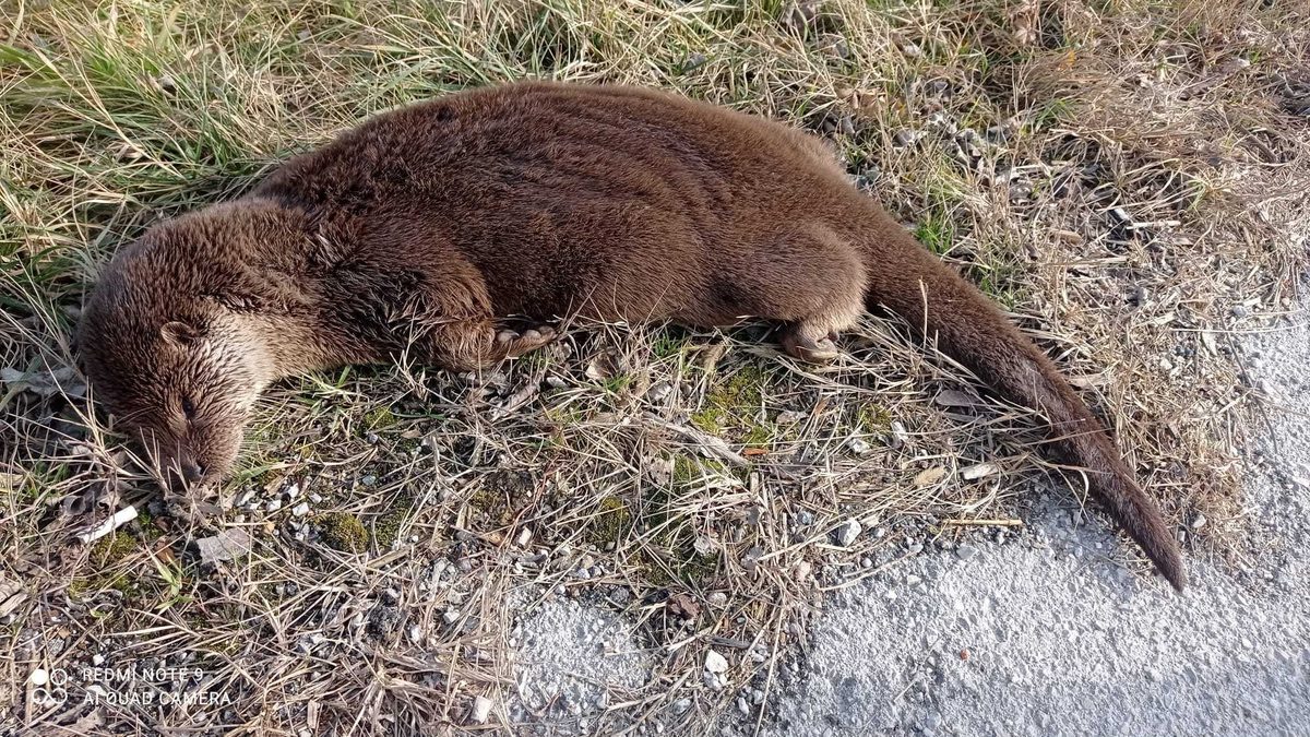
The body of the Eurasian otter is long and flexible, with short webbed feet, and a thick tail that tapers gradually. Its dense brown fur is waterproof, and its ears and nostrils close underwater. Together with its tail, the animal can exceed a length of one meter.
The Eurasian otter primarily feeds on fish, but also eats frogs, crayfish, and aquatic insects. It is most active at dusk and at night, resting during the day in a den under the roots of riverside trees. Young can be born at any time of the year.
The Eurasian otter is rarely seen, but its presence is easy to recognize. It leaves droppings with fish scales and bones on rocks and stumps by the water, and tracks with webbed footprints in mud and snow. In winter, sliding tracks can be seen on steep banks where the animal slides into the water.
The Eurasian otter is listed in the Red Data Book of Ukraine as a vulnerable species, and hunting it is prohibited. According to the IUCN classification, the species is near threatened (NT).
Where in the Carpathians

The map shows where naturalists recorded the species (GBIF, CC0 and CC BY records), not every place it lives. The Ukrainian Carpathians are less studied, so a blank area does not mean the species is absent.
- Countries
- Ukraine · Czechia · Romania · Slovakia · Serbia · Poland
- Mountain ranges
- Chornohora, Gorgany, Maramureș Mountains, Krasna Polonyna, Hryniava Mountains, Chyvchyn Mountains, Pokuttia-Bukovina Carpathians, Moravian-Silesian Beskids, Slovak Ore Mountains, Skole Beskids
- Altitude belts
- Foothills (below 600 m) · Beech forests (600–1200 m) · Conifer forests (1200–1600 m)
When to see it
| Jan | Feb | Mar | Apr | May | Jun | Jul | Aug | Sep | Oct | Nov | Dec | |
|---|---|---|---|---|---|---|---|---|---|---|---|---|
| Sightings |
From naturalists’ observations in the Carpathians (iNaturalist, research grade): the darker the cell, the more often the species is seen that month.
Protection and rules
Hunting the Eurasian otter is prohibited: the species is listed in the Red Data Book of Ukraine.
FAQ
Do otters live in the Carpathians?
Yes, the Eurasian otter lives in clean Carpathian rivers — the Tysa, Uzh, Latorica, Cheremosh, Prut, and Stryi rivers and their tributaries. Its presence is most often indicated by tracks and droppings with fish scales on rocks.
Is the Eurasian otter listed in the Red Data Book of Ukraine?
Yes, as a vulnerable species; hunting it is prohibited.
Similar species
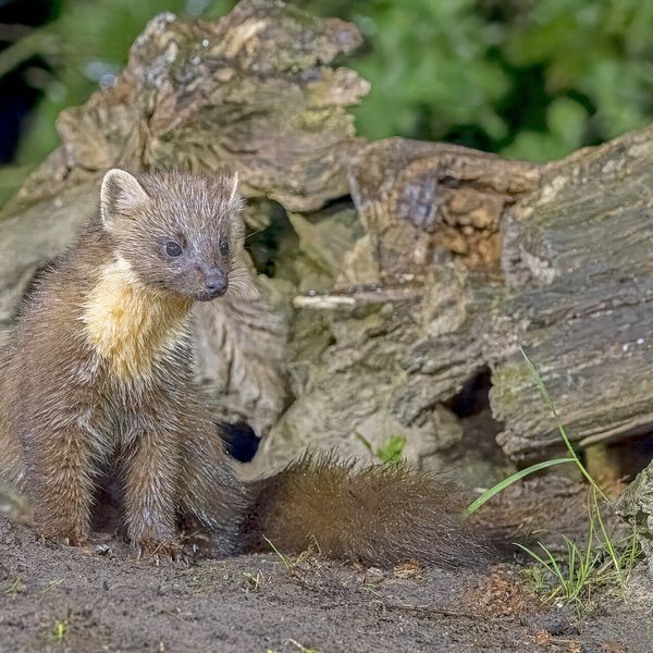
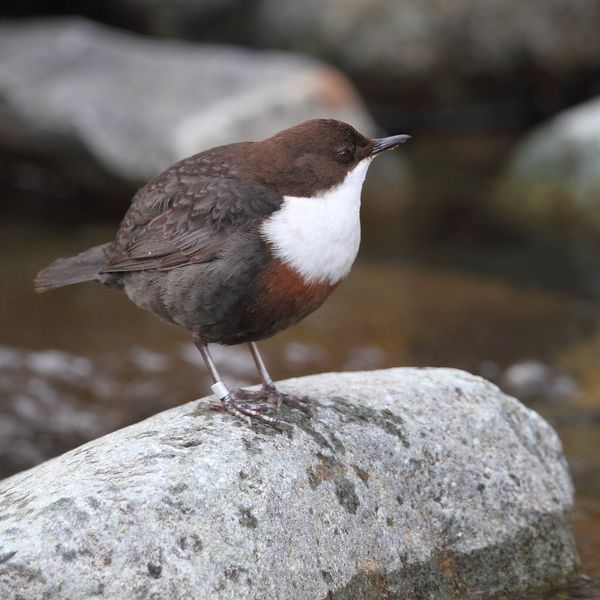
Where to meet it
Trails
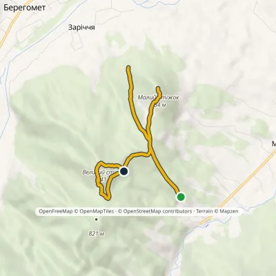 EasyOne-dayMarkedNature trail «To the Guardians of Nedeia»Elevation profile576–841 m5.4 kmascent 436 m≈ 2 h walking
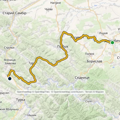 HardMulti-dayMarkedNo. 502-1 Drohobych RozluchElevation profile292–733 m78.1 kmascent 921 m
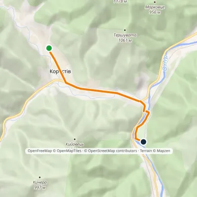 EasyOne-dayMarkedNo. 5004 Korostiv SviatoslavElevation profile468–532 m5.5 kmascent 14 m≈ 1.5 h walking
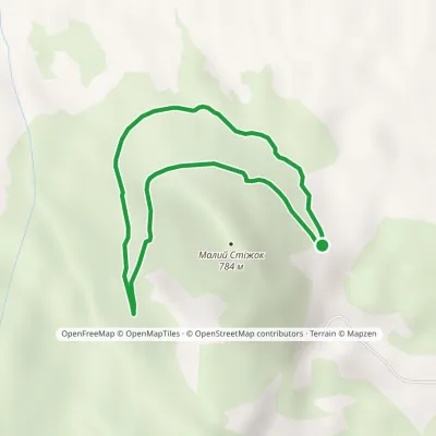 EasyOne-dayMarkedTrail «In the Footsteps of Count Wassilko»Elevation profile557–672 m3.3 kmascent 112 m≈ 1 h walking
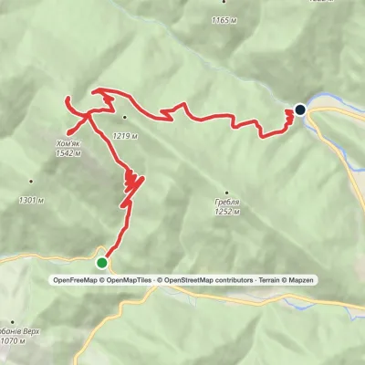 ModerateTwo-dayMarkedYablunytsia village to Zhenets tract (Mykulychyn village)via Mount Khomiak, Khomiakiv polonynaElevation profile653–1 542 m14.8 kmascent 770 m≈ 5 h walking
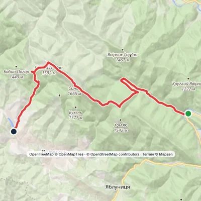 HardTwo-dayMarkedZhenets tract (Mykulychyn village) to Polianytsia villagevia Zhenetskyi Huk Waterfall, Khomiakiv polonyna +2Elevation profile643–1 665 m22.6 kmascent 1 188 m≈ 8 h walking
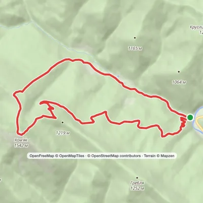 ModerateOne-dayMarkedZhenets tract Zhenets tract (Mykulychyn village)via Mount KhomiakElevation profile650–1 542 m13.2 kmascent 888 m≈ 5 h walking
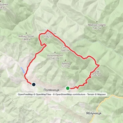 HardTwo-dayPolianytsia village loopvia Mount Khomiak, Mount Syniak +1Elevation profile824–1 665 m24.4 kmascent 1 205 m≈ 8.5 h walking
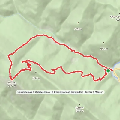 ModerateTwo-dayMarkedZhenets tract to Zhenets tract (Mykulychyn village)via Khomiakiv polonyna, Mount KhomiakElevation profile644–1 542 m21.3 kmascent 856 m≈ 7 h walking
 ModerateTwo-dayMarkedTatariv village to Zhenets tract (Mykulychyn village)via Khomiakiv polonynaElevation profile643–1 354 m19 kmascent 637 m≈ 6 h walking
 HardTwo-dayMarkedTatariv village to Polianytsia villagevia Mount Khomiak, Mount Syniak +1Elevation profile780–1 665 m20.4 kmascent 1 379 m≈ 8 h walking
 ModerateOne-dayMarkedTatariv village loopvia Mount KhomiakElevation profile788–1 483 m10.2 kmascent 694 m≈ 4 h walking
Waters and waterfalls
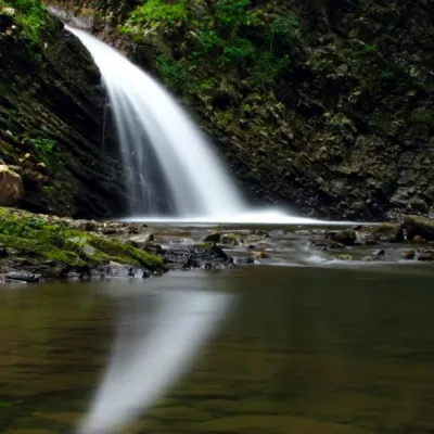 WaterfallChernytsia (Chernykovsky) waterfall, ChernykZelenaChernytsiaWaterfall is a secluded and picturesque place in Ivano-Frankivsk region.
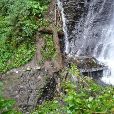 WaterfallZhenetsky Hook waterfallMykulychynZhenetskyi Huk is one of the most convenient Carpathian waterfalls for tourists, as it is accessible by a direct,...
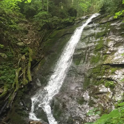 WaterfallNarinetskyi waterfall, MykulychynMykulychynNarinetskyi Waterfall is a waterfall in the Ukrainian Carpathians, on the Noretskyi Stream (a left tributary of the...
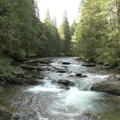 RiverPrutKryvopilliaThe Prut River is a river that connects several countries and is of great natural, historical and cultural importance.
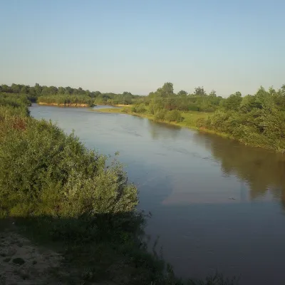 RiverSiret RiverBerehometThe Siret is a major Danube tributary 682 km long, but only its first 123 km lie in Ukraine.
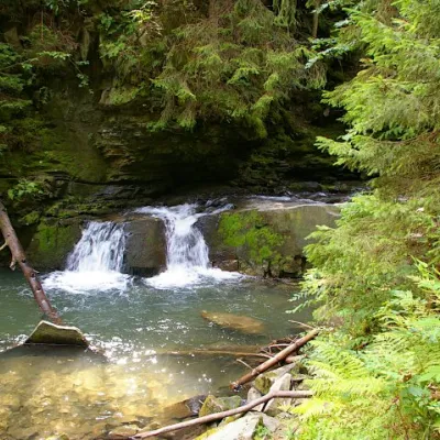 WaterfallWaterfall Maiden's Tears, YaremcheYaremcheMaiden's Tears is a waterfall in the Ukrainian Carpathians (Gorgany massif).
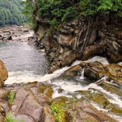 WaterfallProbiy waterfall, YaremcheYaremcheProbiy Waterfall is located in the heart of the Carpathian Mountains, in the city of Yaremche.
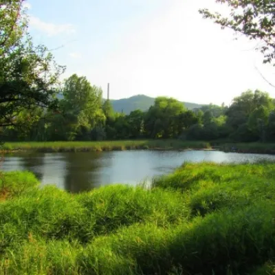 LakeCity Banske Lake (Kosiv)KosivThere are lakes of technogenic origin in the Hutsul mountains. One such lake is Banske Lake (near the former factory ...
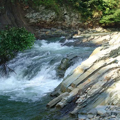 WaterfallKosivskyi Huk WaterfallKosivKosivskyi Huk - one of the most beautiful waterfalls in the Ukrainian Carpathians (in the Pokuttya-Bukovyna...
Mountain ranges: Chornohora, Gorgany, Maramureș Mountains, Krasna Polonyna, Hryniava Mountains, Chyvchyn Mountains, Pokuttia-Bukovina Carpathians, Skole Beskids, Svydovets, Polonynian Ridge. In other countries: 🇨🇿 Moravian-Silesian Beskids, 🇸🇰 Slovak Ore Mountains, 🇸🇰 Javorníky, 🇷🇴 Pădurea Craiului
Trails and peaks near which naturalists recorded the species (GBIF, iNaturalist), matched by altitude and habitat. Sightings are not guaranteed.
Sources
- Вікіпедія: Видра річкова
- Wikipedia (en): Eurasian otter
- Перелік видів тварин, що заносяться до Червоної книги України (наказ Міндовкілля від 19.01.2021 № 29, зареєстровано в Мін'юсті 01.03.2021 за № 260/35882)
- Міндовкілля: текст переліку видів тварин Червоної книги України (PDF)
- GBIF: таксон і категорія МСОП
- Директива Ради 92/43/ЄЕС про збереження природних оселищ (консолідована редакція)
GBIF · iNaturalist · Wikidata · Distribution data: GBIF.org (CC0 and CC BY records), iNaturalist; names and identifiers: Wikidata (CC0). Text: Karpaty.rocks, checked 09.11.2026.
