No. 502-1 Drohobych – Rozluch
Trail map
Route, springs and shelters: © OpenStreetMap contributors (ODbL) · elevation: Copernicus DEM © DLR e.V., © Airbus DS · Data & licences
Where to stay nearby




About the trail
Route No. 502-1 Drohobych – Rozluch. Has yellow marking (regional route №502). Waymarking data: OpenStreetMap (© OpenStreetMap contributors, ODbL).
Officially marked regional tourist route №502. The marking is yellow, the sign is a horizontal stripe on a white background. Marked and maintained by: Department of Tourism and Resorts of Lviv Oblast. Length of the route — 78.1 km. Location: mountain range — Verkhnodnistrovski Beskydy, Lviv Oblast.
At a glance
A multi-day route of 78.1 km with 917 m of ascent from Drohobych to Rozluch. Estimated time: 3 days of 6–8 h of walking (about 21 h in total, not counting stops). Difficulty: hard. Waymarking: yellow.
Route stages
- 0–78 kmGentle ups and downs at 290–730 m
Steepest kilometre: km 68–69, a descent of 110 m (≈11%).
Water and overnight stays
Springs near the trail: at km 30, 48, 63 and 76. There are no springs between km 0 and 30 — carry at least 4 l of water.
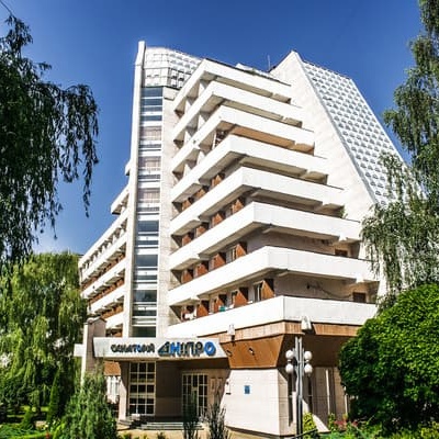
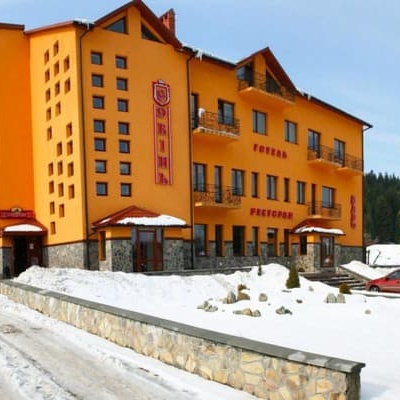
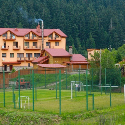
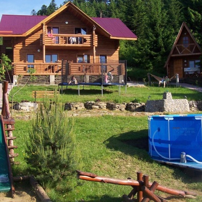
Places to stay near the start: Truskavets; near the finish: Rozluch.
A possible split into days:
- Day 1: km 0–26, ≈7 h — overnight: no shelter nearby on the map, bring a tent
- Day 2: km 26–53, ≈7 h — overnight: no shelter nearby on the map, bring a tent
- Day 3: km 53–78, ≈7 h — finish
When to go
The route can be walked most of the year; it is most comfortable from April to October.
Getting there
Start: Drohobych. Most places to stay near the start are in Truskavets. This is a one-way route: the finish is 41 km from the start in a straight line, so plan your way back in advance.
FAQ
- How long does the route take?
- Estimated time: 3 days of 6–8 h of walking (about 21 h in total, not counting stops).
- Is there water on the route?
- Springs near the trail: at km 30, 48, 63 and 76. There are no springs between km 0 and 30 — carry at least 4 l of water.
- Where can I stay overnight?
- Places to stay near the start: Truskavets; near the finish: Rozluch.
Water and shelter on the route
- Spring (Pidbuzh)km 29.9 from the start · Not verified · 388 m
- Well (Svydnyk)km 48 from the start · Not verified · 635 m
- Spring (Isai)km 63.2 from the start · Not verified · 562 m
- Soda springkm 75.7 from the start · 70 m off the path · Not verified · 533 m
Before you go, check the border-regime restrictions: Border Guard permit for mountain hikes (in Ukrainian)
Comments
Trails nearby
All trails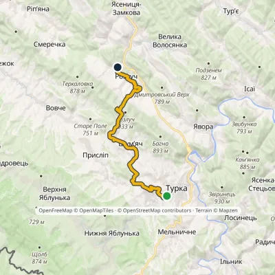 ModerateTwo-dayMarkedNo. 5001-1 Turka Rozluchvia source of the DniesterElevation profile539–907 m19 kmascent 563 m≈ 6 h walking
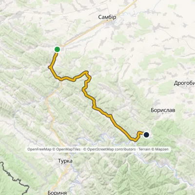 HardMulti-dayMarkedNo. 503-1 Staryi Sambir SkhidnytsiaElevation profile340–826 m57 kmascent 1 045 m
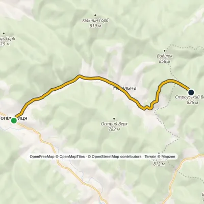 EasyOne-dayMarkedNedilna Tower of MemoryElevation profile441–825 m9 kmascent 382 m≈ 3 h walking
Craft nearby
All craft places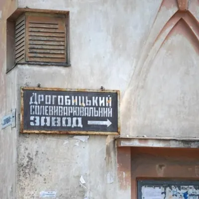 Craft producersDrohobych Salt Works, DrohobychDrohobychunder 1 km from the trailDrohobych Salt Production Plant (State Enterprise "Drohobych Salt Production Plant", Drohobych salt works, Drohobych salt mine) is the oldest currently operating salt...
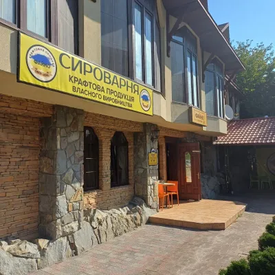 Cheese dairies & pasturesFaino Craft Cheese Dairy, TruskavetsTruskavets7.9 km from the trailFaino Craft Cheese Dairy is a small family cheese dairy with its own cheese shop on Stebnytska Street in Truskavets.
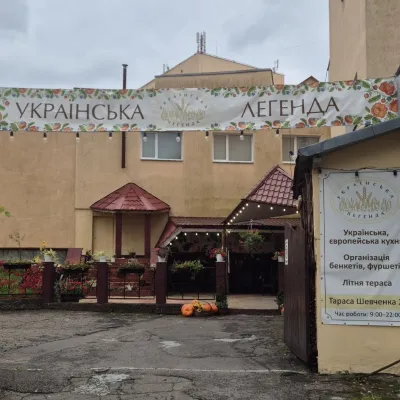 Koliby & Hutsul cuisineUkrainska Lehenda Restaurant, TruskavetsTruskavets7.9 km from the trailUkrainska Lehenda (“Ukrainian Legend”) is a cosy Ukrainian-cuisine restaurant in central Truskavets at 23 Tarasa Shevchenka Street.
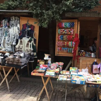 Markets & fairsVernisazh Souvenir Market, TruskavetsTruskavets8 km from the trailVernisazh souvenir market is a line of wooden pavilions and stalls on Yuriia Drohobycha Boulevard in the very centre of Truskavets, between the Resort Park and the...
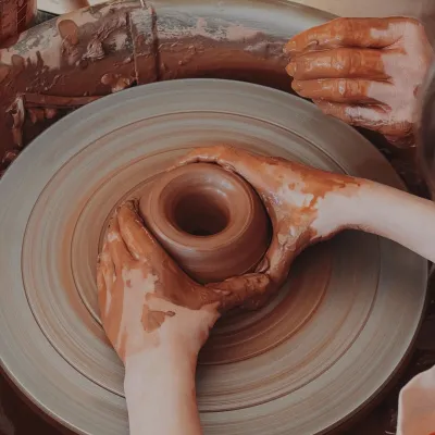 Crafts & workshopsKolo Hlyny Pottery Studio, TruskavetsTruskavets8.2 km from the trailKolo Hlyny (“Clay Wheel”) is a pottery art studio right in the heart of the spa town of Truskavets, at 6 Toroszewicza Boulevard, a short walk from the central pump room.
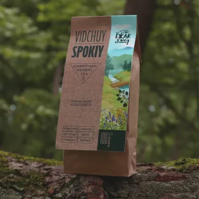 Craft shopsYizhak z Lisu Carpathian Teas, TruskavetsTruskavets8.3 km from the trailYizhak z Lisu (“Hedgehog from the Forest”) is a small Truskavets brand of Carpathian herbal teas, jams and forest mushrooms that describes itself as “the Carpathians...
