No. 503-1 Staryi Sambir – Skhidnytsia
Trail map
Route, springs and shelters: © OpenStreetMap contributors (ODbL) · elevation: Copernicus DEM © DLR e.V., © Airbus DS · Data & licences
Where to stay nearby


About the trail
Route No. 503-1 Staryi Sambir – Skhidnytsia. Has yellow marking (regional route №503). Waymarking data: OpenStreetMap (© OpenStreetMap contributors, ODbL).
Officially marked regional tourist route №503. The marking is yellow, the sign is a horizontal stripe on a white background. The length of the route is 57 km. Location: mountain range — Verkhnodnistrovski Beskydy, Lviv region.
At a glance
A multi-day route of 57 km with 1,045 m of ascent from Staryi Sambir to Skhidnytsia. Estimated time: 2 days of 7–9 h of walking (about 16 h in total, not counting stops). Difficulty: hard. Waymarking: yellow.
Route stages
- 0–17 kmGentle ups and downs at 340–590 m
- 17–21 kmDescent of 160 m (down to 425 m)
- 21–25 kmGentle ups and downs at 400–480 m
- 25–32 kmClimb of 340 m (up to 823 m)
- 32–35 kmDescent of 180 m (down to 625 m)
- 35–57 kmGentle ups and downs at 480–650 m
Steepest kilometre: km 27–28, a climb of 180 m (≈18%).
Water and overnight stays
Springs near the trail: at km 11, 36 and 56. There are no springs between km 11 and 36 — carry at least 4 l of water.
Huts and shelters near the trail: Hut (Pidbuzh) (km 31), Hut (Pidbuzh, 2) (km 31). Places to stay near the start: Staryi Sambir; near the finish: Skhidnytsia.
A possible split into days:
- Day 1: km 0–31, ≈9 h — overnight: Hut (Pidbuzh) (hut)
- Day 2: km 31–57, ≈7 h — finish
When to go
The route can be walked most of the year; it is most comfortable from April to October.
Getting there
Start: Staryi Sambir. This is a one-way route: the finish is 35 km from the start in a straight line, so plan your way back in advance.
FAQ
- How long does the route take?
- Estimated time: 2 days of 7–9 h of walking (about 16 h in total, not counting stops).
- Is there water on the route?
- Springs near the trail: at km 11, 36 and 56. There are no springs between km 11 and 36 — carry at least 4 l of water.
- Where can I stay overnight?
- Huts and shelters near the trail: Hut (Pidbuzh) (km 31), Hut (Pidbuzh, 2) (km 31). Places to stay near the start: Staryi Sambir; near the finish: Skhidnytsia. Possible overnight stops: Hut (Pidbuzh) (km 31).
Water and shelter on the route
- Drinking water (Strilky)km 10.9 from the start · 40 m off the path · Not verified · 390 m
- Hut (Pidbuzh)km 31 from the start · Not verified · 820 m
- Hut (Pidbuzh, 2)km 31 from the start · 50 m off the path · Not verified · 820 m
- Well (Svydnyk)km 36 from the start · Not verified · 635 m
- Mineral water pump room No. 8, 9, 10km 55.9 from the start · 70 m off the path · Not verified · 528 m
- Spring No. 20km 56.6 from the start · 280 m off the path · Not verified · 550 m
Before you go, check the border-regime restrictions: Border Guard permit for mountain hikes (in Ukrainian)
Comments
Trails nearby
All trails
Craft nearby
All craft places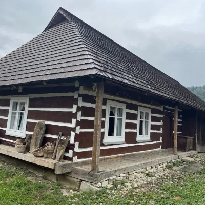 Ethno parks & homesteadsNanashkova Khata Ethno-Homestead, Lopushanka-KhomynaStrilky15 km from the trailNanashkova Khata ethno-homestead is a restored Boyko house built in 1930 in the village of Lopushanka-Khomyna, Sambir district, in a quiet mountain valley of the Lviv...
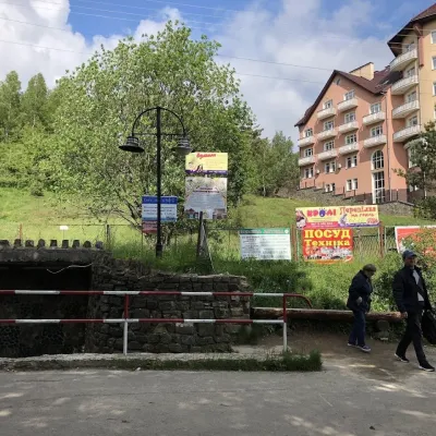 Theme parksMineral Spring No. 1-S (Naftusya), SkhidnytsiaSkhidnytsia34 km from the trailSpring No. 1-S is one of the most popular mineral springs in Skhidnytsia, the mountain spa near Drohobych often called Truskavets’ younger sibling.
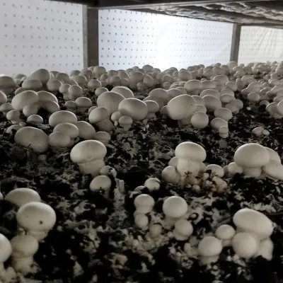 Eco farmsBorovyk Mushroom Farm (Champiland), BoryslavBoryslav34 km from the trailBorovyk is a family mushroom farm in Boryslav, a few kilometres from the spa towns of Truskavets and Skhidnytsia.
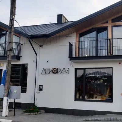 Craft shopsDecorum Art Shop, SkhidnytsiaSkhidnytsia35 km from the trailDecorum is a small art shop in the very heart of Skhidnytsia, on Zolota Bania Street close to the central pump rooms and the resort's promenade.
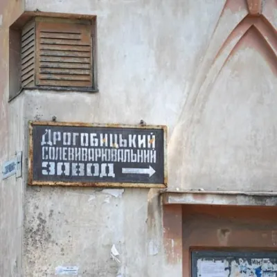 Craft producersDrohobych Salt Works, DrohobychDrohobych37 km from the trailDrohobych Salt Production Plant (State Enterprise "Drohobych Salt Production Plant", Drohobych salt works, Drohobych salt mine) is the oldest currently operating salt...
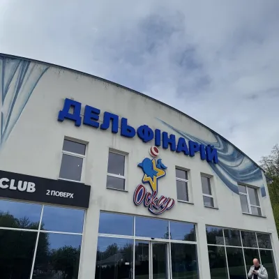 Wildlife parks & animal farmsOskar Dolphinarium, TruskavetsTruskavets40 km from the trailOskar Dolphinarium is an entertainment and wellness complex in Truskavets at 18 Horodyshche Street, opened on 31 October 2015.
