Nedilna – Tower of Memory
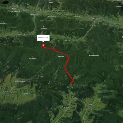
Trail map
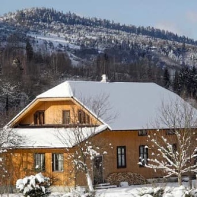
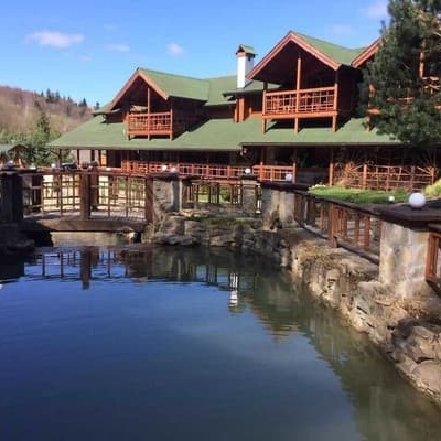
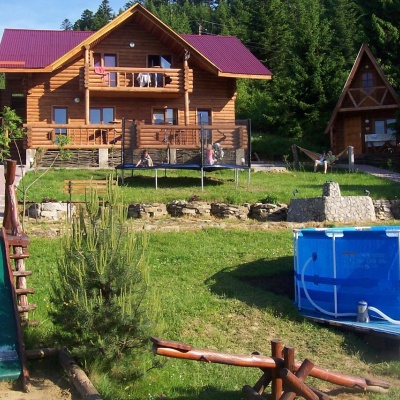
Where to stay nearby

About the trail
Route Nedilna – Tower of Memory. Has yellow marking (short routes, connecting paths, shortcuts).
At a glance
A one-day route of 9 km with 598 m of ascent from Nedilna to Tower of Memory. Estimated walking time: about 3.5 h, not counting stops. Difficulty: moderate. Waymarking: yellow.
Route stages
- 0–6 kmGentle ups and downs at 440–570 m
- 6–8 kmClimb of 210 m (up to 779 m)
- 8–9 kmGentle ups and downs at 770–820 m
Steepest kilometre: km 6–7, a climb of 130 m (≈13%).
Water and overnight stays
Our map shows no springs near the trail — bring your own water (at least 2 l).
Huts and shelters near the trail: Hut (Pidbuzh) (km 9), Hut (Pidbuzh, 2) (km 9). Places to stay near the start: Staryi Sambir.
When to go
The route can be walked most of the year; it is most comfortable from April to October.
Getting there
Start: Nedilna. Most places to stay near the start are in Staryi Sambir. This is a one-way route: the finish is 7 km from the start in a straight line, so plan your way back in advance.
FAQ
- How long does the route take?
- Estimated walking time: about 3.5 h, not counting stops.
- Is there water on the route?
- Our map shows no springs near the trail — bring your own water (at least 2 l).
- Where can I stay overnight?
- Huts and shelters near the trail: Hut (Pidbuzh) (km 9), Hut (Pidbuzh, 2) (km 9). Places to stay near the start: Staryi Sambir.
Water and shelter on the route
- Hut (Pidbuzh)km 9 from the start · Not verified · 820 m
- Hut (Pidbuzh, 2)km 9 from the start · 50 m off the path · Not verified · 820 m