Dor beetle
About
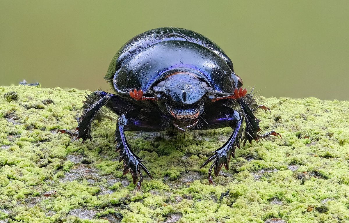
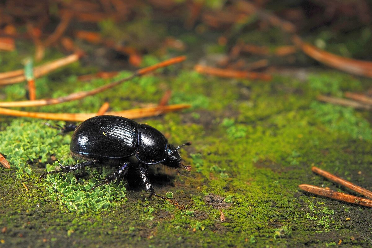
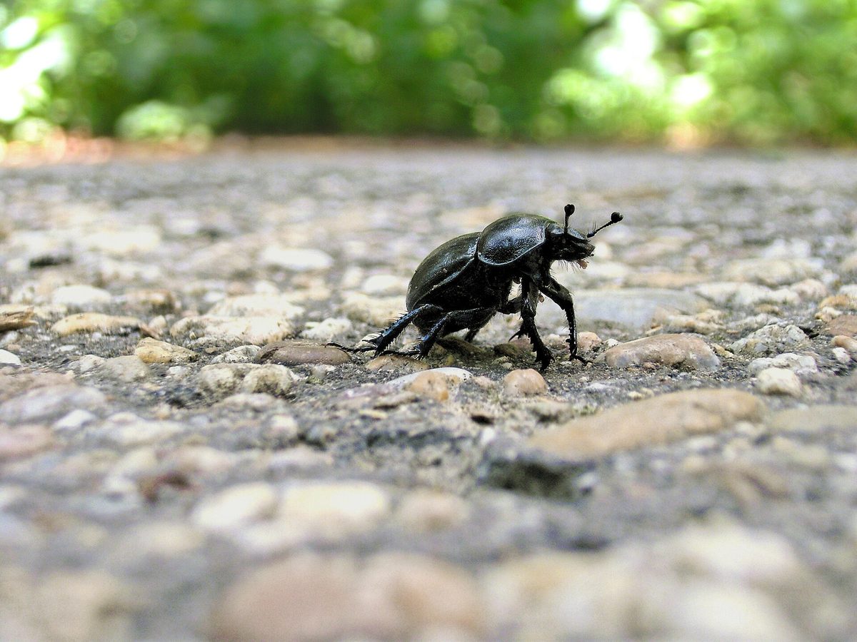
The Dor beetle is the same convex black-blue beetle that slowly crosses the path in beech and spruce forests. Its body length is 12–20 mm. It is black with a blue or greenish metallic sheen on top, and if you turn the beetle over, you can see a bright blue or purple underside. The elytra have longitudinal grooves.
In the Carpathians, this is one of the most common beetles of the forest belt — in observations by naturalists from the Ukrainian Carpathians, it is the most frequent among insects that were not yet in our catalog. Adult beetles can be seen from late spring to autumn, most often in summer and early autumn, especially during the mushroom season.
Dor beetles feed on animal droppings, decaying leaves, and old mushrooms. For their offspring, the male and female together dig a deep burrow with side chambers under a pile of food, fill them with nutrients, and the female lays an egg in each chamber. The larvae develop in the soil for about a year.
Thus, the beetles bury organic matter in the soil, fertilizing and aerating it — hence they are called the sanitarians of the forest. If you take a beetle in your hand, it quietly squeaks, rubbing its abdomen against its elytra.
On the body of the Dor beetle, small reddish mites often sit. These are not human parasites and not Ixodes ticks: they simply 'ride' on the beetle to a new food source. The beetle does not bite and is not poisonous. Do not step on it on the path — it is going about its business.
Where in the Carpathians

The map shows where naturalists recorded the species (GBIF, CC0 and CC BY records), not every place it lives. The Ukrainian Carpathians are less studied, so a blank area does not mean the species is absent.
- Countries
- Ukraine · Hungary · Slovakia · Poland · Romania · Czechia
- Mountain ranges
- Rivna Polonyna, Gorgany, Bükk, Mátra, High Tatras, Skole Beskids, Zemplén Mountains, Făgăraș Mountains, Börzsöny and Cserhát, White Carpathians
- Altitude belts
- Foothills (below 600 m) · Beech forests (600–1200 m)
When to see it
| Jan | Feb | Mar | Apr | May | Jun | Jul | Aug | Sep | Oct | Nov | Dec | |
|---|---|---|---|---|---|---|---|---|---|---|---|---|
| Sightings |
From naturalists’ observations in the Carpathians (iNaturalist, research grade): the darker the cell, the more often the species is seen that month.
Protection and rules
Not listed in the Red Book of Ukraine.
FAQ
What is the blue-black beetle crawling on the paths in the Carpathians?
Most likely, it is the Dor beetle. It is black with a blue sheen, with a bright blue or purple underside, and measures 12–20 mm in length.
Are the mites on Dor beetles dangerous?
No. These are small mites that use the beetle as 'transport'. They do not attack humans and are not related to Ixodes ticks.
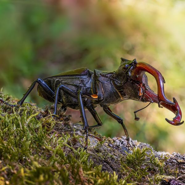
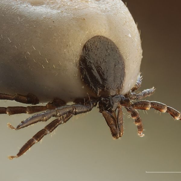
Similar species
Where to meet it
Trails
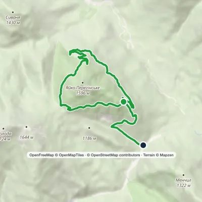 EasyOne-dayMarkedEco-trail around Yayko PerehinskeElevation profile827–1 400 m11.3 kmascent 235 m≈ 3.5 h walking
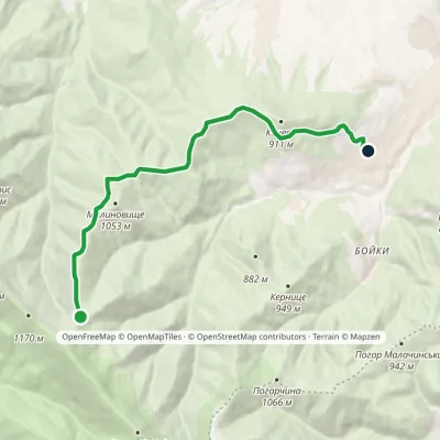 EasyOne-dayMarkedMalynovyshche polonyna Maniava villageElevation profile623–1 098 m8.5 kmascent 47 m≈ 2 h walking
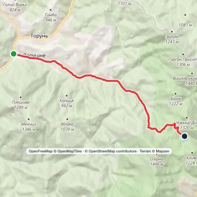 ModerateOne-dayLopushne village Lake SynevyrElevation profile589–1 132 m12 kmascent 536 m≈ 4 h walking
 ModerateOne-dayMarkedYasinia Mount PetrosElevation profile627–2 020 m12.5 kmascent 1 408 m≈ 6 h walking
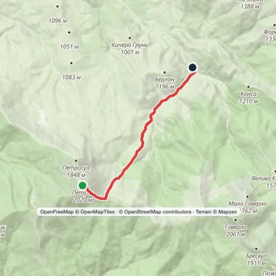 EasyOne-dayMarkedMount Petros KozmeshchykElevation profile864–2 020 m8.5 kmascent 2 m≈ 2 h walking
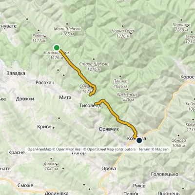 ModerateOne-dayMarkedNo. 505 Kozova village Rosokhatski polonynyvia TysovetsElevation profile608–1 177 m14.9 kmascent 329 m≈ 4.5 h walking
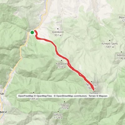 HardTwo-dayYasinia loopvia Mount HoverlaElevation profile630–2 020 m21.7 kmascent 1 458 m≈ 8.5 h walking
 EasyOne-dayMarkedKorchyn village Hurkalo WaterfallElevation profile399–519 m6.2 kmascent 138 m≈ 2 h walking
 HardMulti-dayMarkedLazeshchyna village to Yasiniavia Kozmeshchyk, Mount PetrosElevation profile650–2 020 m33.7 kmascent 1 548 m≈ 11.5 h walking
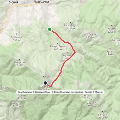 ModerateOne-dayMarkedKozmeshchyk Mount PetrosElevation profile751–2 020 m12.5 kmascent 1 276 m≈ 5.5 h walking
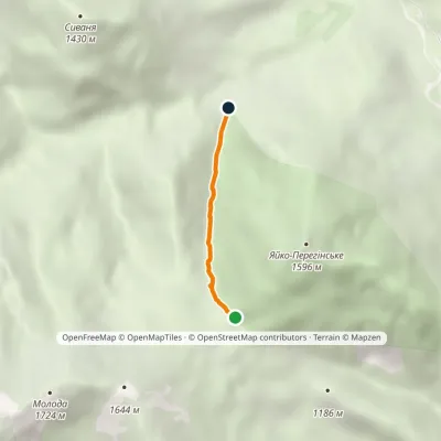 EasyOne-dayMarkedTo Mount Yaiko-PerehinskeElevation profile978–1 369 m2 kmascent 391 m≈ 1.5 h walking
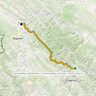 HardMulti-dayMarkedNo. 505 Tukhlia TurkaElevation profile530–1 177 m56.9 kmascent 1 764 m
Peaks and meadows
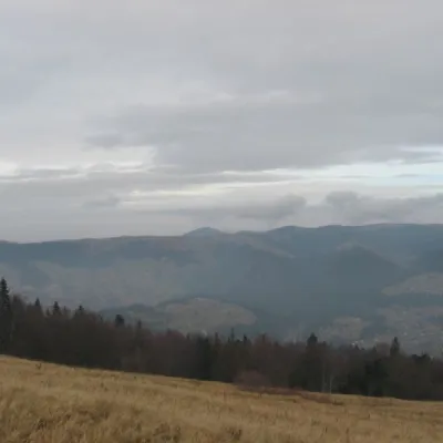 Mountain meadow1 136 mPolonyna BorsuchynaVorokhtaPolonyna Borsuchyna is located in Vorokhta, Ivano-Frankivsk region, at an altitude of 1136 meters in the Carpathians.
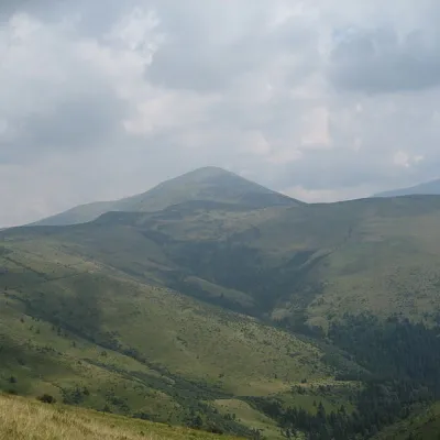 Mountain meadow1 429 mPolonyna RognieskaKvasyRognieska is a meadow on the Chornohora mountain range (Ukrainian Carpathians), in the Rakhiv district of Zakarpattia...
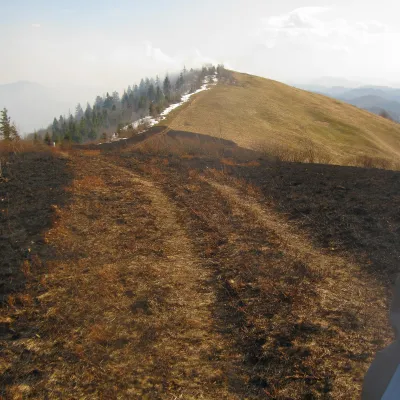 PeakMount Vysokyi Verkh (Rosokhatskyi)Rosokhachaltitude 1 177 m · Skole Beskids range2 trails to the topVysokyi Verkh (Rosokhatskyi) is a 1,176.8 m summit on the border of the Skole Beskids and the Stryi-Sian Highland.
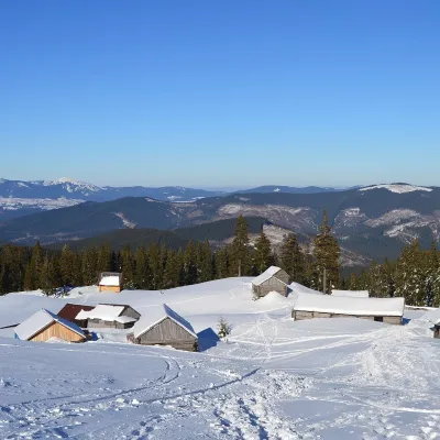 Mountain meadow1 420 mPolonyna HolovcheskaLazeshchynaHolovcheska Polonyna is a mountain pasture on the north-eastern slopes of Petros in the Chornohora range, Rakhiv...
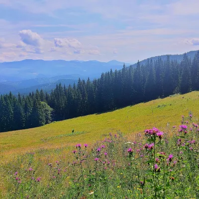 PeakMount Kychera (Vorokhta)Vorokhtaaltitude 1 225 m · Chornohora rangeKychera is a 1,225 m summit north of the Chornohora range, in Ivano-Frankivsk Oblast.
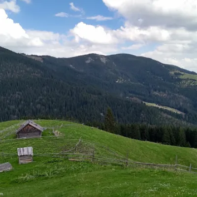 PeakMount BubenskaVolovaaltitude 1 232 mMount Bubenska (also known as Bobenska or Bubynska) is one of the peaks in the Carpathian Mountains in western Ukraine.
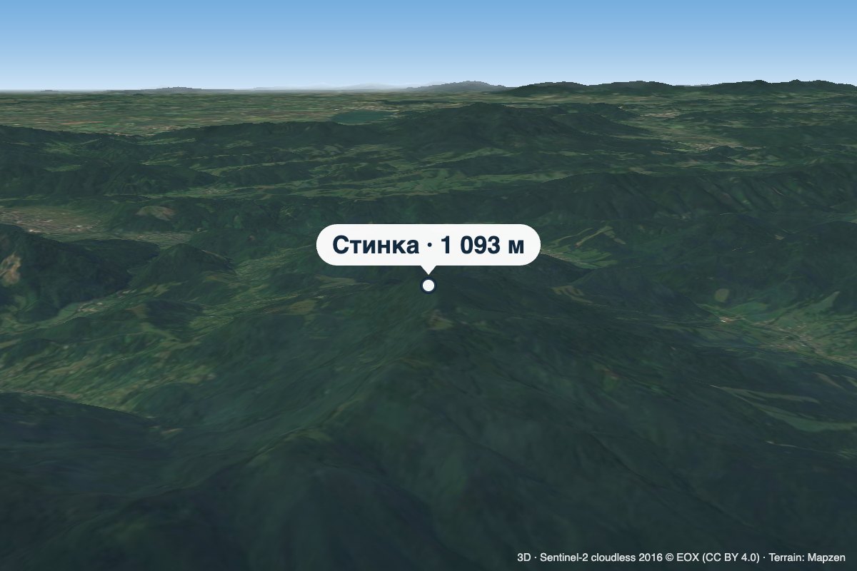 PeakMount StynkaKniahyniaaltitude 1 093 mStynka (Slovak: Stinská) is a 1,093 m mountain on the state border between Ukraine and Slovakia, in the Bukovské...
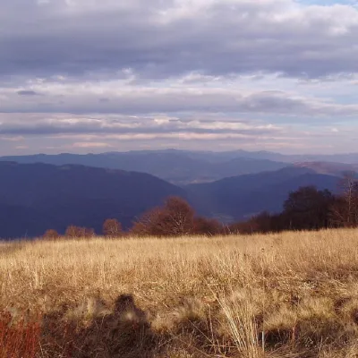 PeakMount YavirnykRuskyi Mocharaltitude 1 017 m17 trails to the topMount Yavirnyk is a 1,017-meter peak of the Ukrainian Carpathians, which is located within the Polonynsky Beskyd.
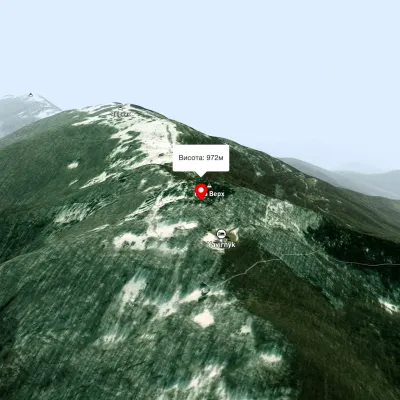 PeakMount Judah TopRuskyi Mocharaltitude 972 mThe top of Mount Judah Top is 972 meters above sea level. The nearest settlements are: Ruskyi Mochar (2.1 km), Sil (4...
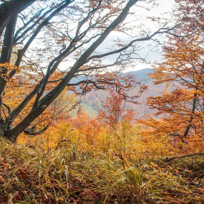 PeakMount Dil (Krushelnytsia)Krushelnytsiaaltitude 899 m · Skole Beskids rangeIt lies north-east of the Parashka ridge, about 2.6 km from Parashka itself (1,268 m), and rises above the village of...
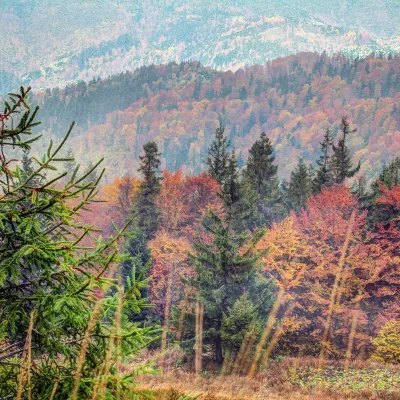 PeakMount Tymkiv VerkhKorostivaltitude 1 227 m · Skole Beskids range1 trail to the topTymkiv Verkh (also spelled Tymkyn Verkh) is a 1,227 m summit on the Parashka ridge in the Skole Beskids, Lviv Oblast.
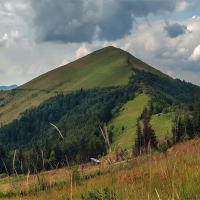 PeakMount ParashkaSkolealtitude 1 268 m · Skole Beskids range17 trails to the topParashka (1268 m) is the highest peak of the ridge of the same name in the Skole Beskids, 8 km north-west of Skole; a...
Waters and waterfalls
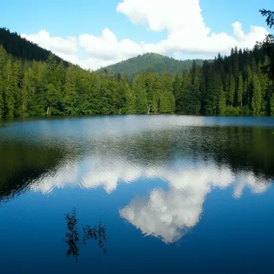 LakeSynevyr Lake Synevyrska PolyanaSynevyrska PolyanaLake Synevyr, located on the territory of the National Nature Park of the same name in Mizhhirya district of...
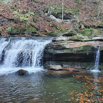 WaterfallKrushelnytskyi waterfallKrushelnytsiaThe real decoration of the mighty Carpathian Mountains is its numerous picturesque waterfalls.
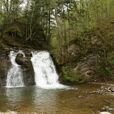 WaterfallGurkalo waterfallKorchynGurkal, located on the Velyka Richka River, has a very eloquent name! You can't argue with it, especially when the...
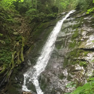 WaterfallNarinetskyi waterfall, MykulychynMykulychynNarinetskyi Waterfall is a waterfall in the Ukrainian Carpathians, on the Noretskyi Stream (a left tributary of the...
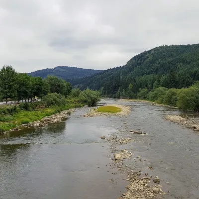 RiverOpir RiverSkoleThe Opir is a 58-km mountain river of the Skole Beskids. It rises on the eastern slope of Mount Velykyi Yavirnyk,...
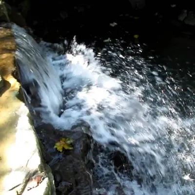 WaterfallBagrovetsky waterfallYaremcheBagrovetsky Waterfall is one of the most famous waterfalls in the Yaremche region, located in the city of Yaremche.
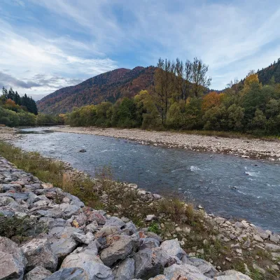 RiverTeresva RiverUst-ChornaThe Teresva forms in Ust-Chorna, where the Mokrianka and Brusturianka meet, and flows south through Dubove, Kalyny,...
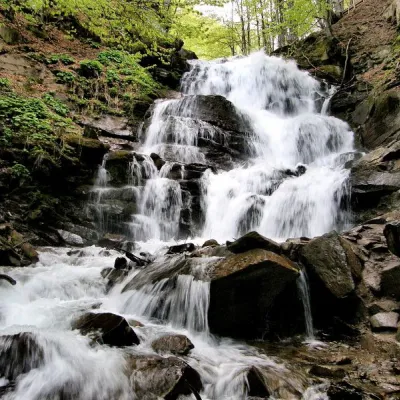 Waterfall"Shypit Waterfall" PylypetsPylypetsIn a cozy corner of the Carpathian Mountains, among the evergreen mountain forests and steep, sharp cliffs, lies the...
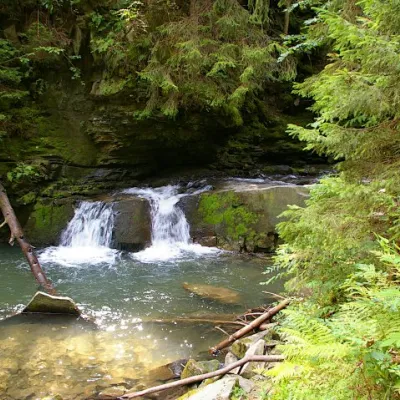 WaterfallWaterfall Maiden's Tears, YaremcheYaremcheMaiden's Tears is a waterfall in the Ukrainian Carpathians (Gorgany massif).
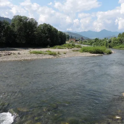 RiverChornyi Cheremosh RiverVerkhovynaThe Chornyi Cheremosh rises south-east of Burkut on the slopes of the Chyvchyn Mountains, the most remote corner of...
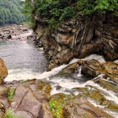 WaterfallProbiy waterfall, YaremcheYaremcheProbiy Waterfall is located in the heart of the Carpathian Mountains, in the city of Yaremche.
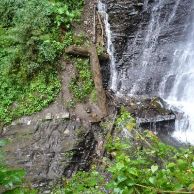 WaterfallZhenetsky Hook waterfallMykulychynZhenetskyi Huk is one of the most convenient Carpathian waterfalls for tourists, as it is accessible by a direct,...
Mountain ranges: Rivna Polonyna, Gorgany, Skole Beskids, Pokuttia-Bukovina Carpathians. In other countries: 🇭🇺 Bükk, 🇭🇺 Mátra, 🇸🇰 High Tatras, 🇭🇺 Zemplén Mountains, 🇷🇴 Făgăraș Mountains, 🇭🇺 Börzsöny and Cserhát, 🇨🇿 White Carpathians, 🇨🇿 Moravian-Silesian Beskids, 🇸🇰 Slovak Ore Mountains, 🇸🇰 Strážov Mountains
Trails and peaks near which naturalists recorded the species (GBIF, iNaturalist), matched by altitude and habitat. Sightings are not guaranteed.
Sources
- Wikipedia (en): Anoplotrupes stercorosus
- Wikipedia (pl): Żuk leśny
- iNaturalist: Anoplotrupes stercorosus (спостереження в Карпатах)
GBIF · iNaturalist · Wikidata · Distribution data: GBIF.org (CC0 and CC BY records), iNaturalist; names and identifiers: Wikidata (CC0). Text: Karpaty.rocks, checked 11.11.2026.
