Polonyna Holovcheska
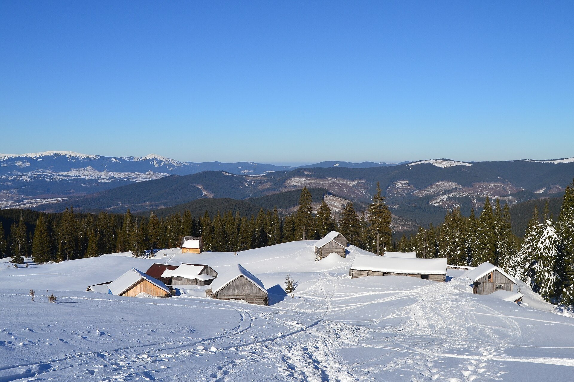
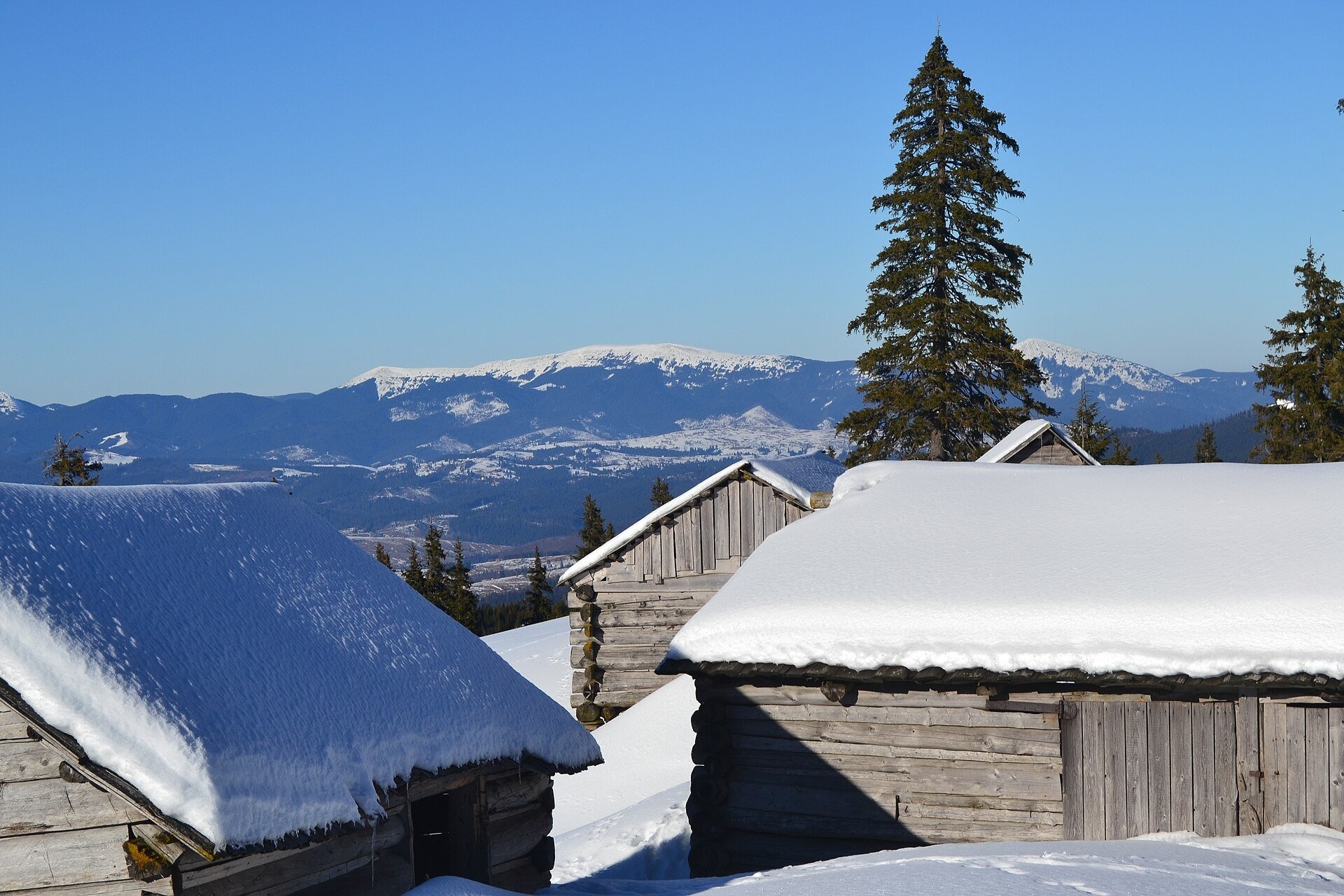

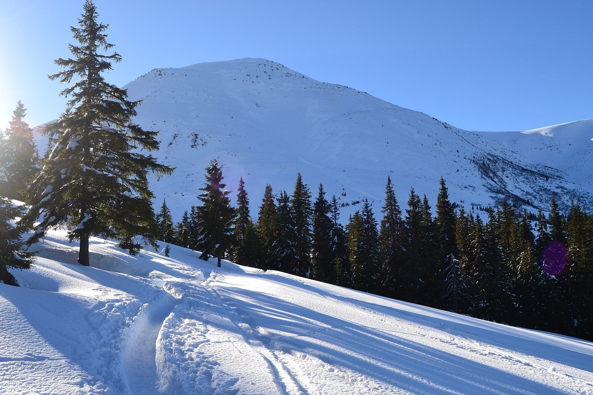
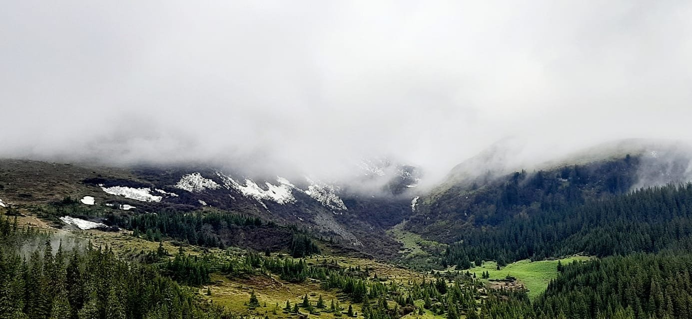
Holovcheska Polonyna is a mountain pasture on the north-eastern slopes of Petros in the Chornohora range, Rakhiv district, Zakarpattia. It lies at about 1,400–1,440 m, east of Petrosul, within the Chornohora protected massif of the Carpathian Biosphere Reserve. On the way up from the Kozmeshchyk area it is the first large open space from which Petros can be seen in all its glory.
Holovcheska is the most popular overnight stop before climbing Petros from the Lazeshchyna side: there are huts where you can shelter from rain, a spring and several tent pitches. In summer livestock traditionally grazes here.
What you will see
The highlight is the moment the forest road comes out onto the polonyna and the stony cone of Petros rises right above you. From the polonyna you can see the Svydovets massif to the west, and above it the shoulder of Petrosul. Near the top of Petrosul there are two tiny lakes, and from it you can see the Gorgany, Svydovets and the main Chornohora ridge as far as Pip Ivan. The slopes above the polonyna are covered with subalpine shrubs: juniper, rhododendron and bilberry. In winter the wooden huts are buried in snow up to the roof, and the polonyna becomes a quiet white clearing among the spruces.
Shepherds, huts and cheese
In summer livestock traditionally grazes on Holovcheska, and the wooden huts stand on the polonyna all year round. We found no information on whether cheese is made here or sold to hikers; whether shepherds are on the polonyna this season is best asked in Lazeshchyna. The nearest place with a known high-mountain dairy is Menchul Polonyna above Kvasy. If you use a hut as a shelter, behave as a guest: leave no rubbish and break nothing.
History and legends
Between the wars Petros and the pastures on its slopes belonged to Czechoslovakia; the Polish–Czechoslovak border ran along the main ridge from Hoverla. Polish maps of the 1930s labelled the summit "Pietros", and the name is explained as coming from the Greek "petros", "rock, stone", via Vlach dialects. On the way from Lazeshchyna the route passes a First World War soldiers' cemetery, a reminder that the Carpathians were then a front line.
Routes
- Lazeshchyna – Kozmeshchyk – Holovcheska Polonyna – Petros: from Lazeshchyna green waymarks to the Kozmeshchyk area, then blue across the polonyna to Petros; about 20 km one way, roughly 1,270 m of ascent. On foot from Lazeshchyna itself allow 6–8 hours for the climb.
- Kozmeshchyk – Holovcheska Polonyna: about 8 km, a branch of the Transcarpathian Tourist Trail; a stony forest road with weak waymarks in places.
- Lazeshchyna – Studenyi stream valley – Hofa area – Holovcheska Polonyna – Petros: about 28 km, a full day.
- Hoverla – reserve shelter – Skopeska Polonyna – Holovcheska Polonyna – Petros on the red waymarks: about 4 hours.
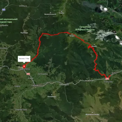
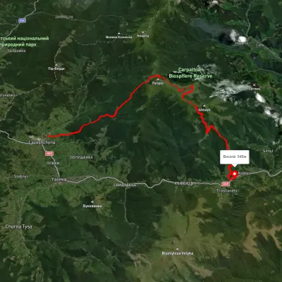
- Our tracks: Kozmeshchyk via Holovcheska Polonyna to Petros, Kozmeshchyk – Petros, Petros – Kozmeshchyk, from Lazeshchyna via Kozmeshchyk, Petros and Hoverla to the Zarosliak base, from Lazeshchyna via Kozmeshchyk, Petros and Sheshul to Kvasy.
The climb to the polonyna is moderate, but above it the way to Petros is steep and rocky. For those who don't do big hikes a realistic option is to ride an off-road vehicle to Kozmeshchyk or higher and walk only up to Holovcheska: this is already true high mountain country with a view of Petros, without the exhausting final push.
Getting there
The start is the village of Lazeshchyna on the Yasinia – Vorokhta road; from there a dirt road leads to the Kozmeshchyk area and shelter (about 9 km). According to hikers, in dry weather even an ordinary car can get to Kozmeshchyk, an entry fee is charged at the barrier, and local drivers in off-road vehicles take tourists higher. Buses run to Lazeshchyna and neighbouring Yasinia, which also has a railway station.
When to go and weather
The best time is from late May to October; livestock grazes in summer. The weather on Petros changes fast: fog, wind and afternoon thunderstorms. Snow can lie on the slopes until June and return in October; in winter Petros is prone to avalanches, and the polonyna is a goal only for experienced groups with snowshoes.
Water, shelters and overnight
There is a spring on the polonyna, and water can also be found near Kozmeshchyk, by the huts and right below the mountain. Nearby are the hut on Holovcheska Polonyna, the shelter below Mount Petros, the hut below Petros, a spring below Petros and another spring lower down. For tents there are several pitches for 2–4 tents and a larger camping area nearer the upper part of the route. A hut is no substitute for warm gear. The nearest accommodation is in Lazeshchyna and Yasinia.
Safety
- This is Carpathian Biosphere Reserve territory: reserve rules apply, and fires are allowed only in permitted places.
- There have been thefts from tent vestibules on the polonyna: do not leave valuables unattended.
- Dogs may be with the livestock: do not run, walk around the herd and call the shepherd.
- The climb from the polonyna to Petros is steep and rocky, and slippery in rain and fog: save energy and time for the descent.
- This is a border area: border guards check passports and, for men, military registration documents; check the current requirements of the State Border Guard Service before you travel.
- In an emergency call 112 or 101 (State Emergency Service, mountain search and rescue); for medical help call 103.
What visitors say
- The strongest impression is stepping out of the forest onto the polonyna and suddenly seeing Petros before you.
- Families with children aged 10–12 walk from Kozmeshchyk to Holovcheska in a few hours and climb Petros without trouble in dry weather.
- The blue waymarks in the forest are weak and it is easy to miss the turn, so an offline map helps.
- The forest road is easy, reminiscent of the climb to Khomiak, but the last kilometres to the summit are over rocks.
- In sunny weather it is easy to get sunburnt on the polonyna, so bring sunscreen and a hat.
- Holovcheska is a favourite camping spot: in the morning it is easy to set off for Petros before the crowds.
Polonynas and peaks around
- Mount Petros: 2,020 m, right above the polonyna.
- Mount Petrosul: the northern shoulder of Petros with tiny lakes.
- Skopeska Polonyna: the saddle towards Hoverla with a shelter.
- Mount Hoverla: Ukraine's highest peak, beyond the saddle.
- Rohnieska Polonyna: a large pasture on the other side of Petros.
- Sheshul Polonyna: the open spur of Petros above Kvasy.
- Mount Velyka Kozmeska: a neighbouring summit above the Kozmeshchyk area.
Photos: Андрій Угрин, CC BY-SA 4.0, Wikimedia Commons; Петро Малофій, CC BY-SA 4.0, Wikimedia Commons.
Video 2
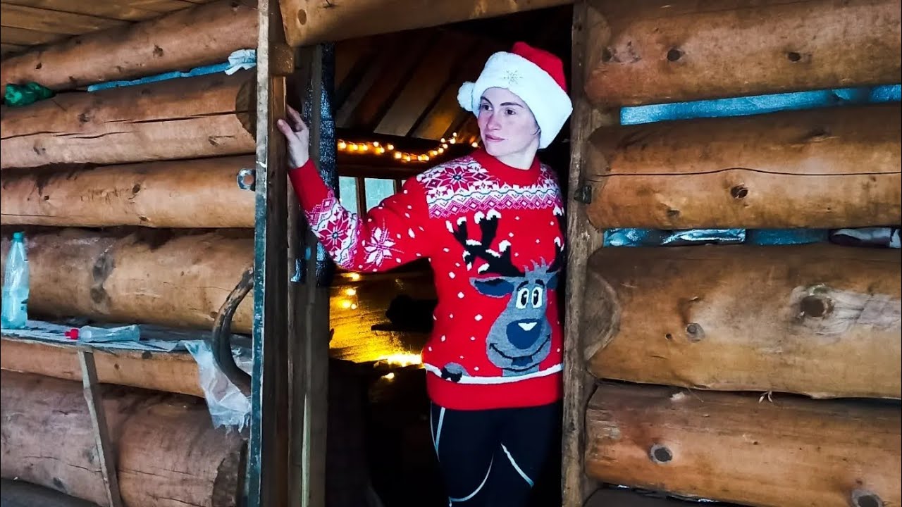 Полонина Головчеська. Колиби під Петросом. Зимова ночівля в горахAlina UATravel

Location on the map
Water and shelter nearby
- Hut on Polonyna Holovcheska180 m · Standing · 1 431 m
- Mountain shelter below Mount Petros240 m · Not verified · 1 404 m
- Mountain shelter below Mount Petros (2)250 m · Not verified · 1 403 m
- Spring below Mount Petros (5)250 m · Not verified · 1 411 m
- Hut below Mount Petros360 m · Not verified · 1 429 m
- Spring below Mount Petros (7)430 m · Not verified · 1 394 m
- Spring below Mount Petros (3)480 m · Not verified · 1 529 m
- Spring below Mount Petros (4)590 m · Not verified · 1 544 m
- Spring below Mount Petros (6)790 m · Not verified · 1 544 m
- Spring below Mount Petros (8)1 km · Not verified · 1 540 m
- Spring below Mount Petros (9)1 km · Not verified · 1 544 m
- Spring below Mount Petros (10)1.4 km · Not verified · 1 544 m
- Spring below Mount Petros (11)1.5 km · Not verified · 1 536 m
- Spring below Mount Petros (2)1.8 km · Not verified · 1 590 m
- Hut (Luhy)1.9 km · Not verified · 1 470 m
- Spring below Mount Petrosul (4)1.9 km · Not verified · 1 643 m
Comments
Places to stay nearby
All stays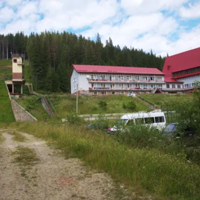 HotelTraining and Sports Base "Zaroslyak" at HoverlaVorokhta7.6 km from Polonyna HolovcheskaPoolSaunaParkingNearby: Polonyna Pozhizhevska 1.2 kmMt Hoverla 2.8 km32 trails
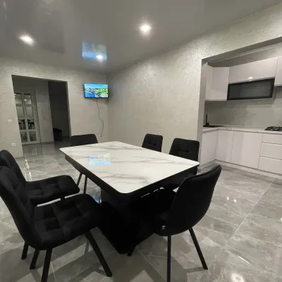 CottageCottage AzaliyaVyshkovo11 km from Polonyna HolovcheskaThe Cottage Azaliya is located in the Zakarpattia region, Lazeshchyna, 14 km from Mount Hoverla and 9 km from Mount Petros.Nearby: Church of the Transfiguration 2.8 kmMt Petrosul 9.7 km31 trails
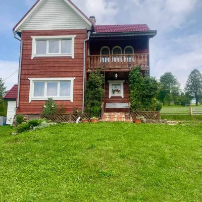 HomesteadGuest house "U Iryny"Yasinya11 km from Polonyna HolovcheskaWelcome to our cozy house located in the very heart of the Carpathians. This is the perfect place for those seeking solitude, harmony with nature, and to return home...Nearby: Church of the Transfiguration 1.2 kmStrukivska Church 2.0 km40 trails
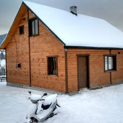 CottageCottage "Ozernyi" LazeshchynaLazeshchyna9.3 km from Polonyna HolovcheskaSaunaBBQKitchenNearby: Church of the Transfiguration 3.3 kmMt Petrosul 8.4 km32 trails
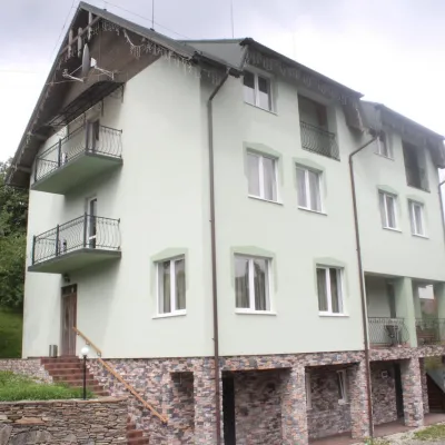 HotelHotel "Perelaz" LazeshchynaLazeshchyna10 km from Polonyna HolovcheskaSaunaBBQParkingNearby: Church of the Transfiguration 1.8 kmStrukivska Church 4.2 km40 trails
 CottageHomestead "U Ivanky"Vyshkovo12 km from Polonyna HolovcheskaKitchenWi‑FiNearby: Mt Sheshul 7.1 kmNyzhnyi Huk waterfall 9.2 km44 trails
Trails nearby
All trails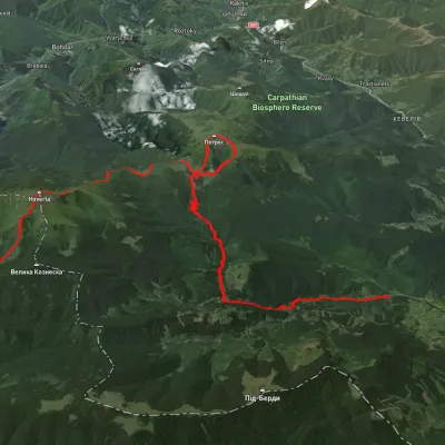 HardMulti-dayUnmarkedLazeshchyna village to Zaroslyak basevia Kozmeshchyk, Mount Petros +1Elevation profile770–2 059 m31.6 kmascent 2 164 m≈ 12 h walkingunder 1 km from Polonyna Holovcheska
 HardMulti-dayUnmarkedKvasy village to Lazeshchyna villagevia Mount Petros, KozmeshchykElevation profile533–2 013 m35.4 kmascent 1 599 m≈ 12 h walkingunder 1 km from Polonyna Holovcheska
 HardMulti-dayUnmarkedLazeshchyna village to Kvasy villagevia Kozmeshchyk, Mount Petros +1Elevation profile538–1 999 m34.8 kmascent 2 169 m≈ 13 h walkingunder 1 km from Polonyna Holovcheska
Nearby attractions
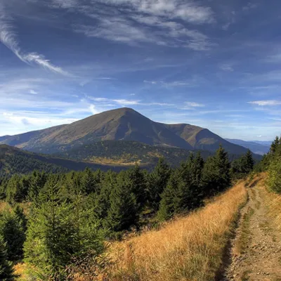 PeakMount PetrosYasinyaaltitude 2 020 m · Chornohora range1 km from Polonyna Holovcheska92 trails to the topMount Petros is the fourth highest (2020 m) peak of the Ukrainian Carpathians after Hoverla (2061), Brebeneskul (2035 m) and Pop Ivan Chornohirsky (2028 m).
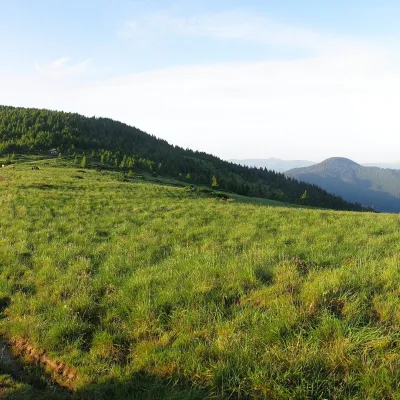 Mountain meadowPolonyna SkopeskaLazeshchynaaltitude 1 518 m · Chornohora range1.8 km from Polonyna HolovcheskaSkopeska Polonyna (also "Skopieska" on maps) is a saddle ridge between Petros and Hoverla in the central part of the Chornohora range, Rakhiv district, Zakarpattia.
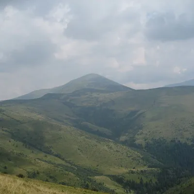 Mountain meadowPolonyna RognieskaKvasyaltitude 1 429 m · Chornohora range3.2 km from Polonyna HolovcheskaRognieska is a meadow on the Chornohora mountain range (Ukrainian Carpathians), in the Rakhiv district of Zakarpattia region.
Craft nearby
All craft places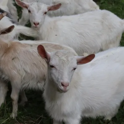 Eco farmsRozental Eco-Farm and Cheese Dairy, KvasyKvasy11 km from Polonyna HolovcheskaBeer and cider are brewed here, sheep's-milk ice cream is made, and in the Vaskul area above the village sits the Rozental eco-farm and cheese dairy.
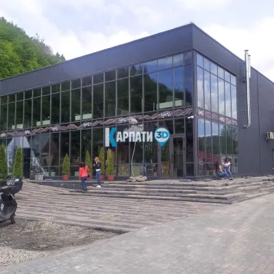 Craft beer & breweriesTsypa Brewery, KvasyKvasy12 km from Polonyna HolovcheskaThe Tsypa Hutsul craft brewery in Kvasy is probably the best-known brewery in the Ukrainian Carpathians.
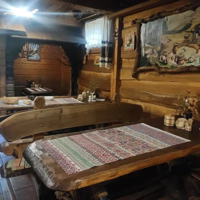 Koliby & Hutsul cuisineU Rizbaria Café, YasiniaYasinya12 km from Polonyna HolovcheskaU Rizbaria Café (“At the Woodcarver’s”) in Yasinia is a small Hutsul place serving home cooking that travellers usually find by word of mouth.
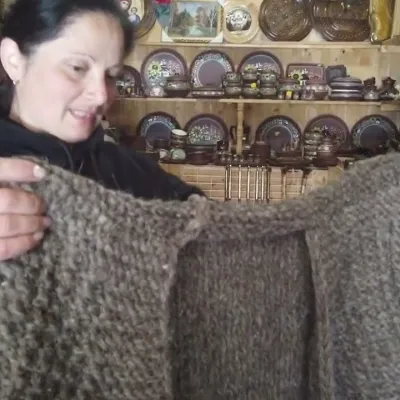 Markets & fairsSouvenir Market on the Yablunytsia Pass, YablunytsiaYablunytsia14 km from Polonyna HolovcheskaThe souvenir market on the Yablunytsia Pass is one of the best-known roadside bazaars in the Carpathians.
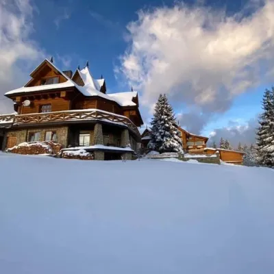 Koliby & Hutsul cuisineVysokyi Pereval Koliba, YablunytsiaYablunytsia15 km from Polonyna HolovcheskaVysokyi Pereval Koliba ("High Pass") stands in Yablunytsia, on the new road to Bukovel, in the Horishkiv area.
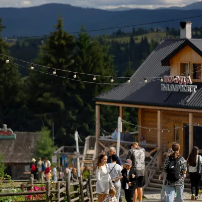 Mountain meadowPolonyna Pertsi Ethno Park, YablunytsiaYablunytsiaaltitude 940 m · Kukul range16 km from Polonyna HolovcheskaPolonyna Pertsi (“Pepper Meadow”) is an ethno park of Hutsul traditions in Yablunytsia, close to the Yablunytsia Pass.
