Mount Yavirnyk
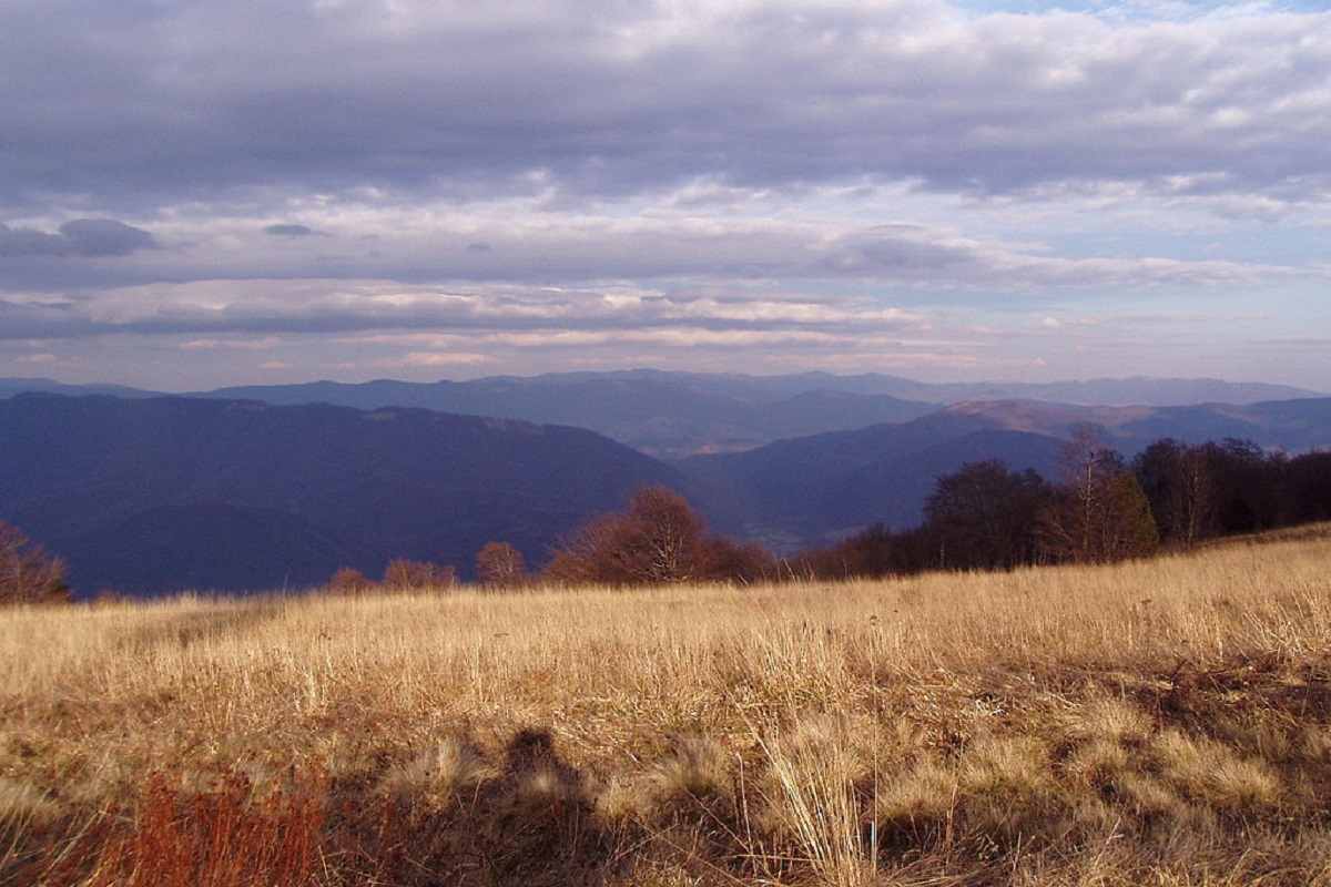
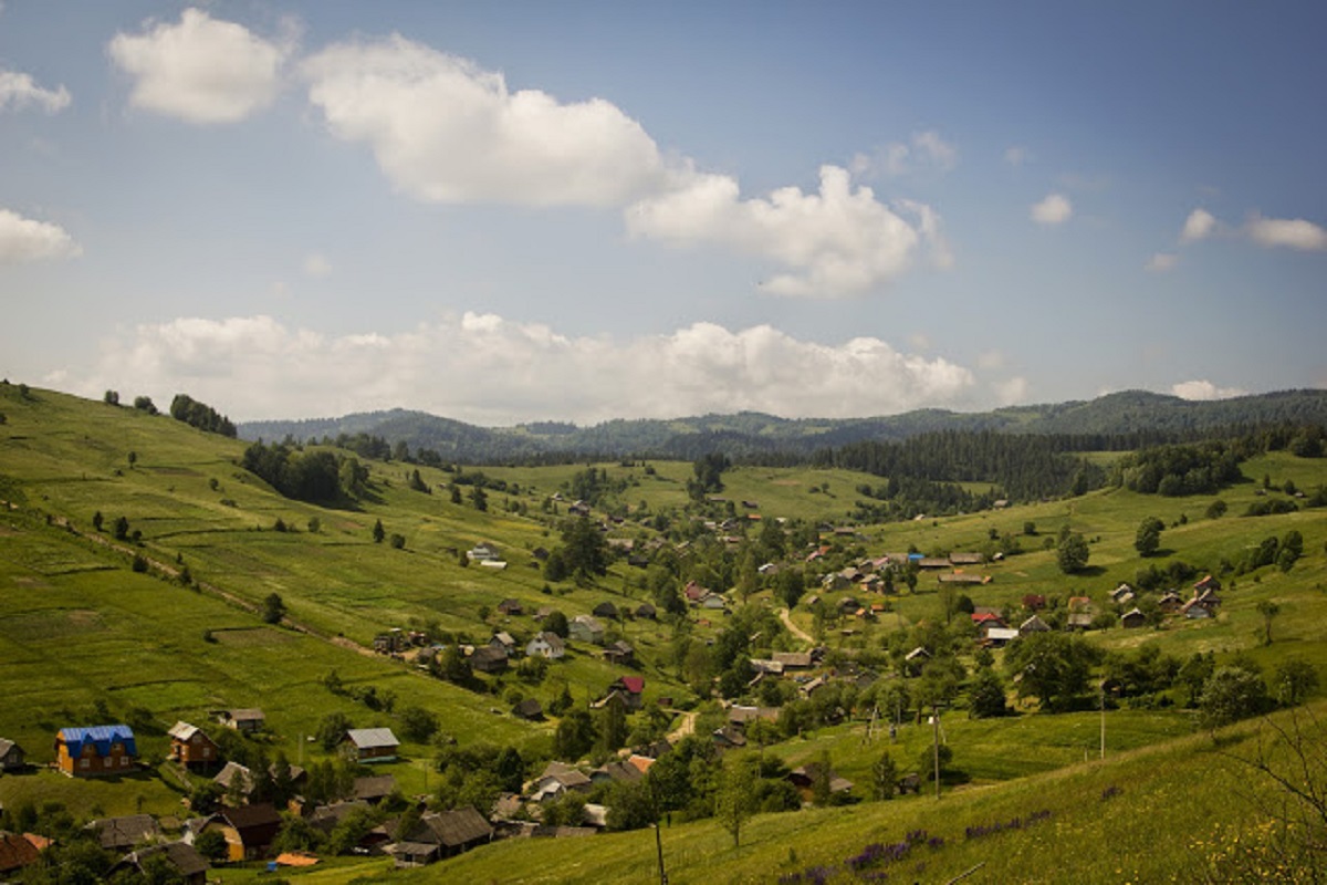
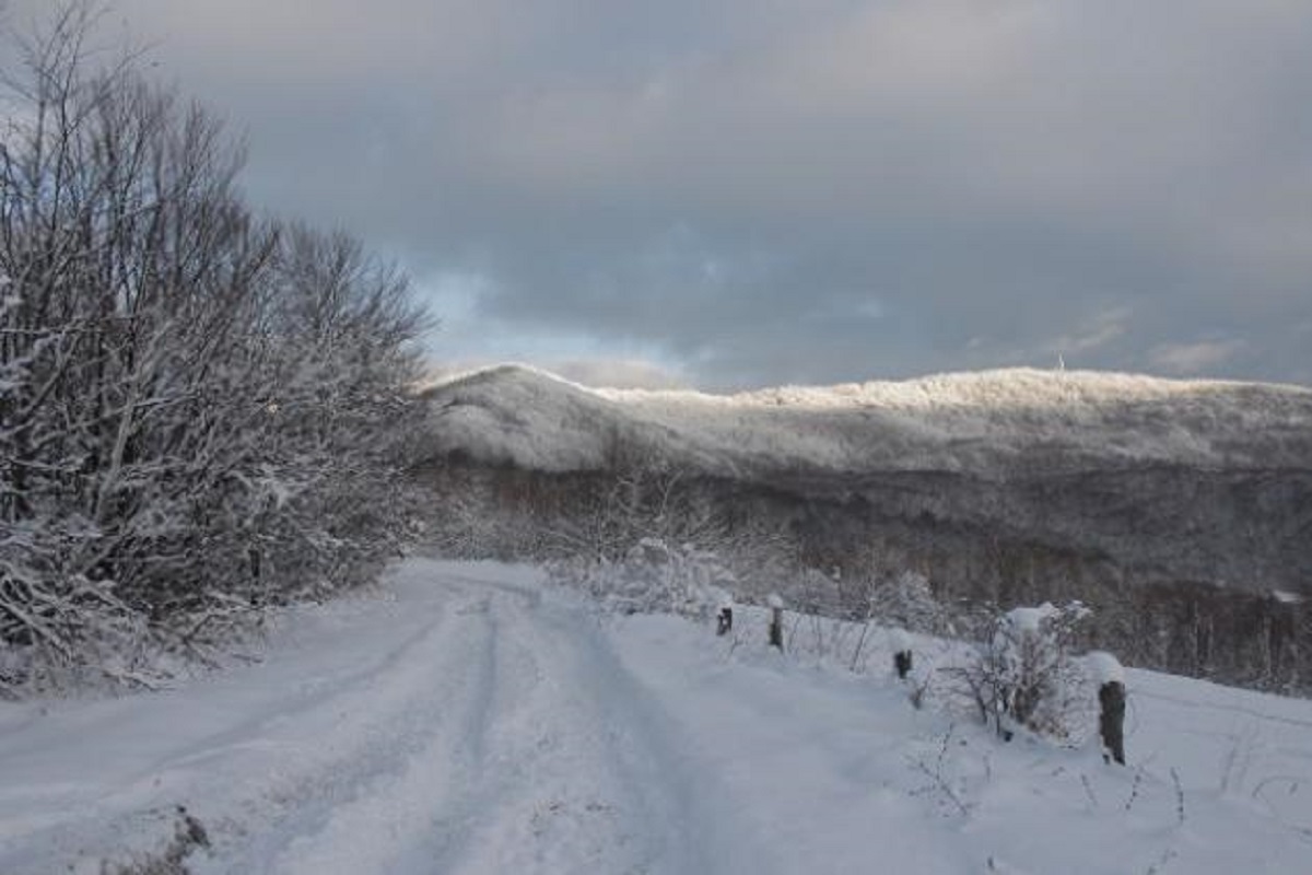
Mount Yavirnyk is a 1,017-meter peak of the Ukrainian Carpathians, which is located within the Polonynsky Beskyd. It is located in Velykyi Bereznyi district of Zakarpattia region, to the east of the village of Velykyi Bereznyi.
The mountain has the shape of an elongated ridge about 10 kilometers long. The peak is located on the border of the Uzhansky National Nature Park.
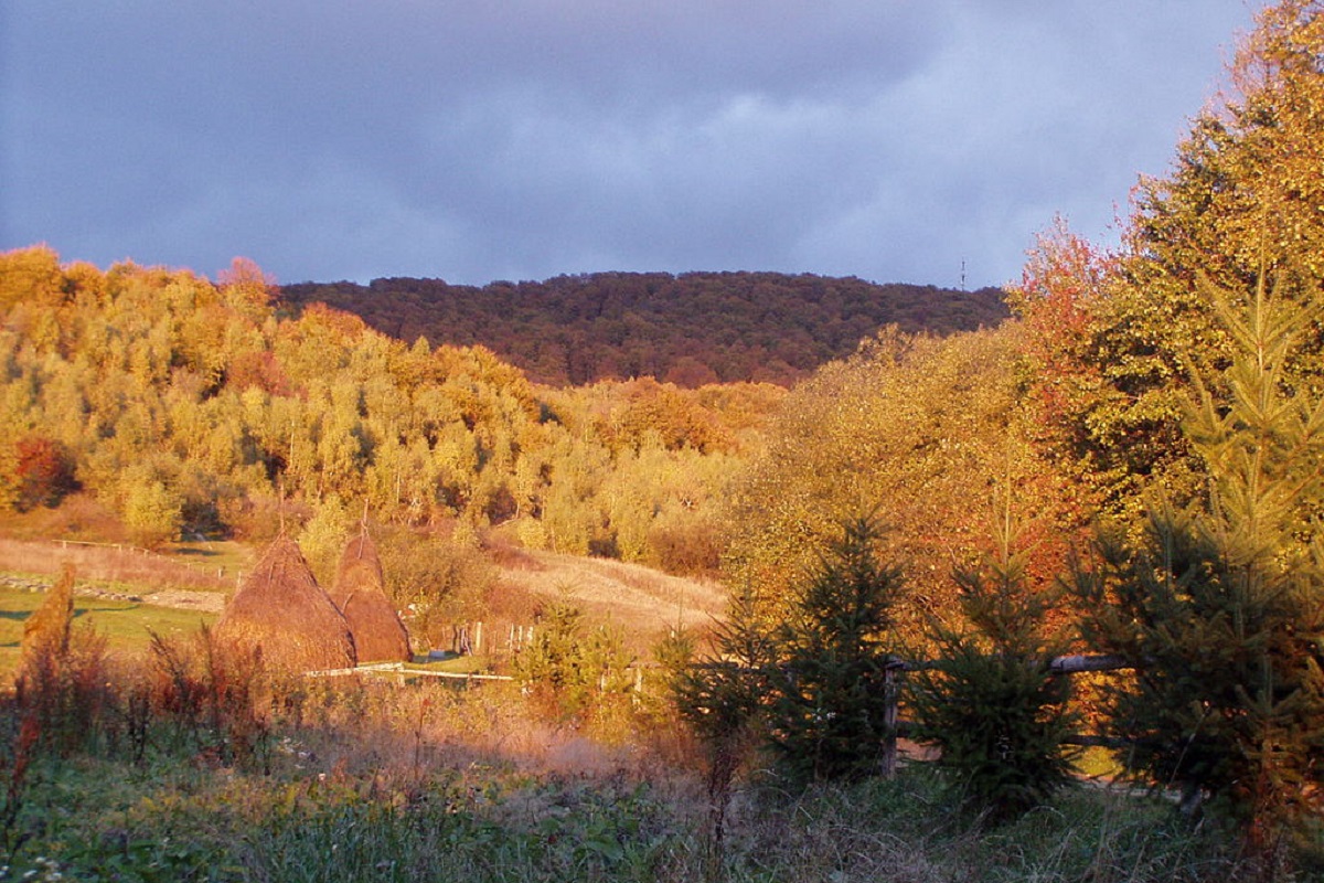
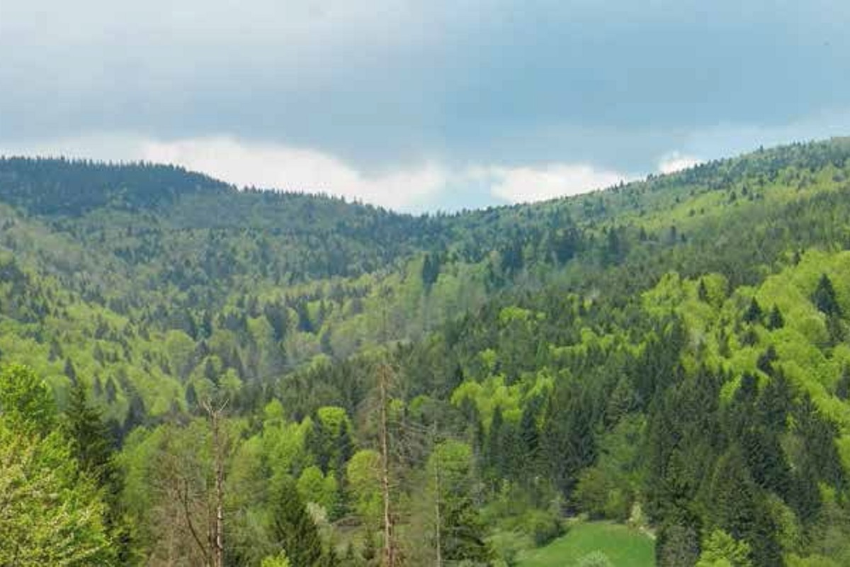
Despite the low height of the ridge, its top is overgrown with alpine grasses, blueberry and raspberry bushes. The slopes of Mount Yavirnyk are mostly covered with beech and sycamore thickets, and partially with conifers.
The northeastern slopes at an altitude of over 600-800 m are covered with beech virgin forests, with individual trees reaching 40-45 m.
Mount Yavirnyk is a popular destination for hiking, both in summer and winter.
The main routes to Mount Yavirnyk include climbing from Velykyi Bereznyi towards the village of Ruskyi Mochar, then either towards the tourist shelter or the TV tower.
Another route: from the beginning of the village of Kostryna. You need to cross the Uzh river, then the trail passes through a field, enters a forest plantation and climbs to the top of Mt. Kichera, turns right to the Ternovskyi stream. Then it runs through a beech forest, up to the tourist shelter.
On the slopes of Mount Yavirnyk, not far from the village of Ruskyi Mochar and the village of Velykyi Bereznyi, there is a mountain shelter "Yavirnyk", which can accommodate 25 tourists at a time, has 6 hostel-type rooms: 3 double rooms, 1 triple room, 1 six-bed room and 1 ten-bed room. Showers and public toilets are located in a separate room. There is a place for pitching tents and a large gazebo on the territory.
History of the shelter
The shelter on Yavirnyk was built in 1936 by the Club of Czechoslovak Tourists (Klub Československych Turistů) and belonged to 17 similar institutions of this organization in Zakarpattia. The club was very active; in addition to building and maintaining shelters, its members studied the tourist opportunities of the region, laid marked routes, prepared guidebooks, and did other useful things for the development of tourism.
Unfortunately, World War II halted this progress for a long time. The shelter was looted and was not used for a long time. It was only in the 1960s that the building was restored by the Regional Children's Excursion and Tourist Station. In the 1990s, it changed hands, and after a fire in 2015, it was completely restored by the Carpathian Trails tourist association.
Location on the map
Water and shelter nearby
- Spring below Mount Yavirnyk (3)270 m · Not verified · 979 m
- Spring below Mount Yavirnyk (2)830 m · Not verified · 954 m
- Spring below Mount Yavirnyk (4)1.3 km · Not verified · 846 m
- Spring below Mount Yavirnyk1.7 km · Not verified · 558 m
- Spring below Mount Yuda Verkh (2)2 km · Not verified · 871 m
- Spring below Mount Yuda Verkh2.1 km · Not verified · 864 m
Comments
Places to stay nearby
All stays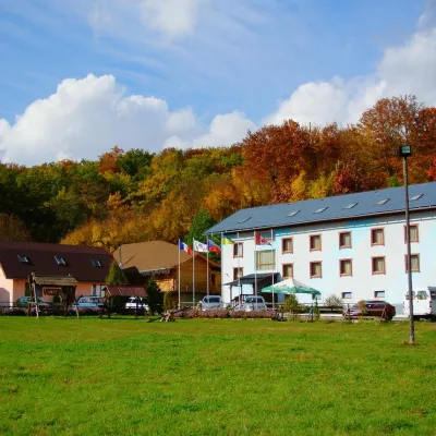 HotelHotel Complex "Klub Visson"Kostryna5.1 km from Mount YavirnykPoolSaunaSPANearby: Mt Judah Top 4.2 kmMt Yavirnyk 5.1 km15 trails
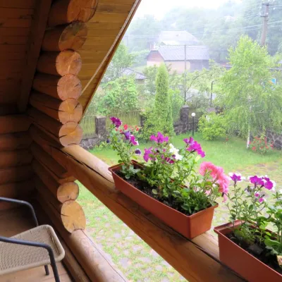 HotelMini-Hotel "Verkhovynskyi Dvir" KostrynaKostryna5.6 km from Mount YavirnykSaunaBBQKitchenNearby: Mt Judah Top 5.4 kmMt Yavirnyk 5.6 km12 trails
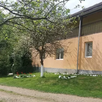 HomesteadHomestead "Ulich"Velykyi Bereznyi district8.1 km from Mount YavirnykPoolSaunaNearby: Mt Judah Top 6.6 kmMt Yavirnyk 8.1 km4 trails
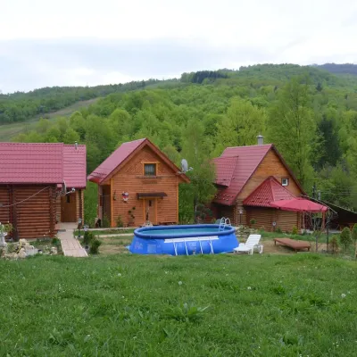 HomesteadPrivate Homestead "Teremok" VyshkaVyshka8.7 km from Mount YavirnykPoolSaunaFireplaceNearby: Mt Yavirnyk 8.7 kmMt Judah Top 9.3 km3 trails
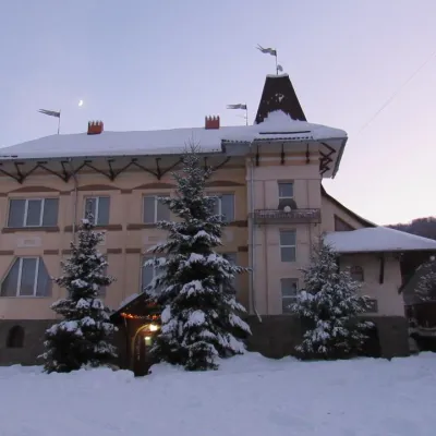 HotelHotel "Perlyna Krasyi" VyshkaVyshka9.6 km from Mount YavirnykSaunaParkingWi‑FiNearby: Mt Yavirnyk 9.7 km1 trail
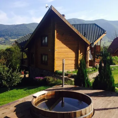 HomesteadHomestead "Ertash" VyshkaVyshka9.7 km from Mount YavirnykPoolSaunaBreakfastNearby: Mt Yavirnyk 9.8 km1 trail
Trails via Mount Yavirnyk
All 16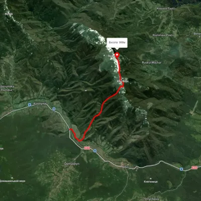 ModerateOne-dayUnmarkedKostryno village Mount YavirnykElevation profile260–1 010 m6.9 kmascent 784 m≈ 3.5 h walking
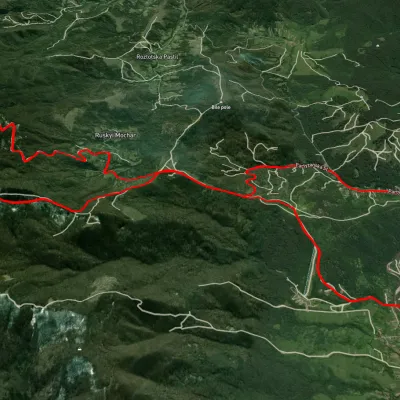 HardTwo-dayUnmarkedVelykyi Bereznyi village loopvia Mount Yavirnyk, Ruskyi Mochar villageElevation profile194–1 009 m22.8 kmascent 980 m≈ 7.5 h walking
 ModerateTwo-dayUnmarkedSil village to Kostryno villagevia Mount YavirnykElevation profile252–1 009 m16.6 kmascent 920 m≈ 6 h walking983 km from Mount Yavirnyk
Nearby attractions
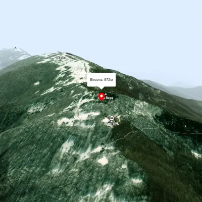 PeakMount Judah TopRuskyi Mocharaltitude 972 m1.7 km from Mount YavirnykThe top of Mount Judah Top is 972 meters above sea level. The nearest settlements are: Ruskyi Mochar (2.1 km), Sil (4.2 km), Roztotska Pastil (4.3 km).
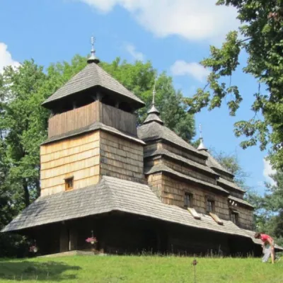 ChurchChurch of the Intercession of the Holy Virgin, KostrynaKostrynska Roztoka6.4 km from Mount YavirnykChurch of the Intercession of the Holy Virgin - a wooden church located in the village of Kostryna, in the Velykobereznyanskyi district of the Zakarpattia region, a...
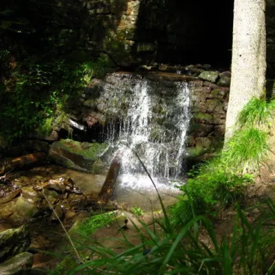 WaterfallLumshory waterfallsLumshory16 km from Mount YavirnykLumshory waterfalls are a group of waterfalls in the Ukrainian Carpathians, a hydrological natural monument of local importance (called "Waterfall on the Turytsia...