Ruskyi Mochar

Ruskyi Mochar is a settlement in the Carpathian region of Ukraine. Location: Uzhhorod district, Transcarpathian region. Worth seeing nearby: Uzh River — 6 km; Basilian Monastery of St. Nicholas, Male Berezne — 7 km; Church of the Intercession of the Holy Virgin, Kostryna — 8 km. The nearest peaks: Mount Judah Top — 972 m; Mount Yavirnyk — 1 017 m; Mount Krasiia — 1 036 m. Hiking trails close by: Velykyi Bereznyi, via Ruskyi Mochar village and Mount Yavirnyk to Sil village; Velykyi Bereznyi village, via Ruskyi Mochar village and Mount Yavirnyk to Chornoholova village. There are places to stay here and nearby, from guest houses to hotels.
Below: places to stay, sights, trails and peaks nearby, the weather and answers to frequent questions.
What to visit
Landmarks, museums and places of interest near Ruskyi Mochar.
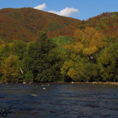 RiverUzh RiverVelykyi Bereznyi5.7 km from the centreAbove the Uzh near Kamianytsia stand the ruins of Nevytsky Castle, and in Uzhhorod the Masaryk Bridge offers a good view of the river.
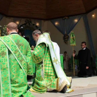 SightBasilian Monastery of St. Nicholas, Male BerezneMalyi Bereznyi7.4 km from the centreThe monastery is located in the village of Malyi Bereznyi, on the slope of Mount Dilok, near the Uzh River.
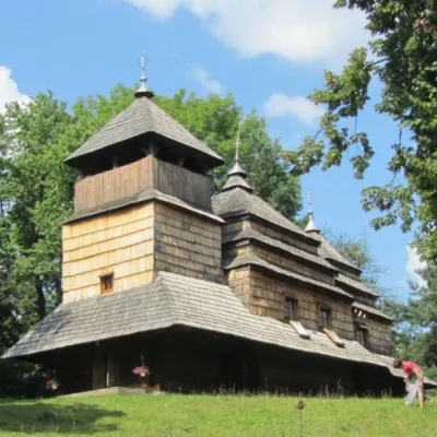 ChurchChurch of the Intercession of the Holy Virgin, KostrynaKostrynska Roztoka8.3 km from the centreChurch of the Intercession of the Holy Virgin - a wooden church located in the village of Kostryna, in the Velykobereznyanskyi district of the Zakarpattia region, a...
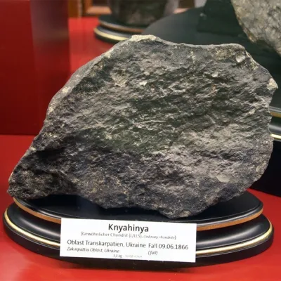 ArchaeologyTranscarpathian meteorite "Knyahynya"Kniahynia8.4 km from the centreKnyahynya is a stone meteorite (chondrite, group LL5) weighing over 500 kilograms. It is the largest meteorite found in Europe in recent history.
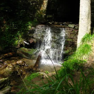 WaterfallLumshory waterfallsLumshory18 km from the centreLumshory waterfalls are a group of waterfalls in the Ukrainian Carpathians, a hydrological natural monument of local importance (called "Waterfall on the Turytsia...
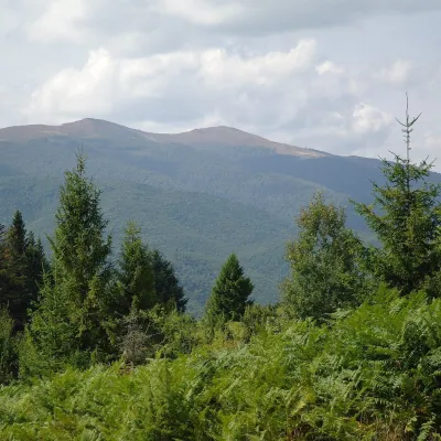 Mountain meadowPolonyna Rivna (Runa)Lumshoryaltitude 1 400 m23 km from the centrePolonyna Rivna, more often called Runa in Zakarpattia (in the local dialect "runa" means exactly "flat"), is a broad, gentle massif in the western part of the...
Craft nearby
All craft places Eco farmsCsiga-Biga “Merry Stable” Farm, Velykyi BereznyiVelykyi Bereznyi6.2 km from the centreVesela Stainia Csiga-Biga (“The Merry Stable”) is a small family farm in the town of Velykyi Bereznyi in the Uzh valley.
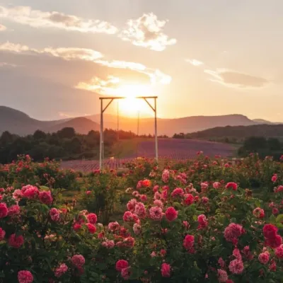 Eco farmsLavandova Hora lavender farm, PerechynPerechyn18 km from the centreLavandova Hora (“Lavender Hill”) is a family farm on the edge of Perechyn that in just a few years has turned an ordinary hill above the town into one of the most...
 Craft producersKarpaty Nasolodzhuisia juices & jams, PerechynPerechyn19 km from the centre“Karpaty Nasolodzhuisia” (Carpathians, Enjoy) is a brand of the company Dzherela Karpat from Perechyn, a small town in the Uzh valley.
 Honey & meaderiesTurianskyi Med Apiary, Turia RemetaTuri Remety21 km from the centreTurianskyi Med («Turia Honey») is the family apiary of Myroslava and Viktor Minkovych in Turia Remeta, a picturesque village in the Turia river valley near Perechyn.
 Cheese dairies & pasturesTurianskyi Dvir Estate Cheese Dairy, Turia PolianaTurya Polyana31 km from the centreTurianskyi Dvir is a private country estate on the shore of a mountain lake in the village of Turia Poliana in the Perechyn area, about 50 kilometres from Uzhhorod.
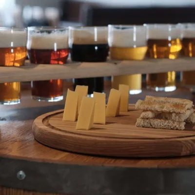 Craft beer & breweriesYuber Brewery & Pub, UzhhorodUzhhorod34 km from the centreYuber Brewery & Pub is one of Uzhhorod's youngest and most modern craft breweries. It operates at the Praha hotel and restaurant complex at 38A Verkhovynska Street, on...
Where to stay
Hotels, guesthouses and cottages in and around Ruskyi Mochar.
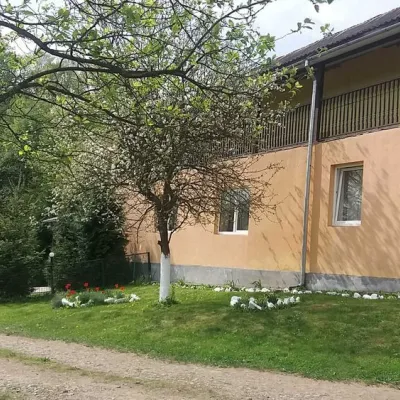 HomesteadHomestead "Ulich"Velykyi Bereznyi district6.2 km from the centrePoolSaunaNearby: Mt Judah Top 6.6 kmMt Yavirnyk 8.1 km4 trails
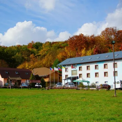 HotelHotel Complex "Klub Visson"Kostryna6.1 km from the centrePoolSaunaSPANearby: Mt Judah Top 4.2 kmMt Yavirnyk 5.1 km15 trails
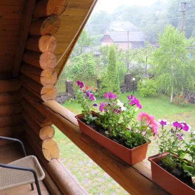 HotelMini-Hotel "Verkhovynskyi Dvir" KostrynaKostryna7.3 km from the centreSaunaBBQKitchenNearby: Mt Judah Top 5.4 kmMt Yavirnyk 5.6 km12 trails
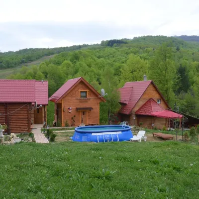 HomesteadPrivate Homestead "Teremok" VyshkaVyshka11 km from the centrePoolSaunaFireplaceNearby: Mt Krasiia 1.5 kmMt Yavirnyk 8.7 km4 trails
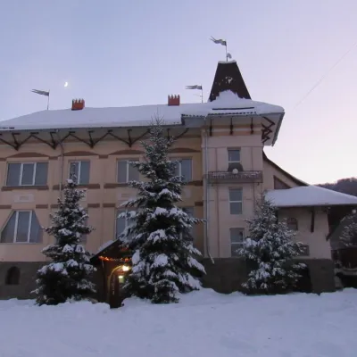 HotelHotel "Perlyna Krasyi" VyshkaVyshka12 km from the centreSaunaParkingWi‑FiNearby: Mt Krasiia 2.1 kmMt Yavirnyk 9.7 km2 trails
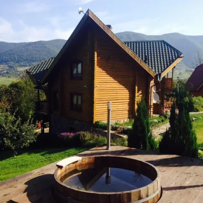 HomesteadHomestead "Ertash" VyshkaVyshka12 km from the centrePoolSaunaBreakfastNearby: Mt Krasiia 2.1 kmMt Yavirnyk 9.8 km2 trails
Trails nearby
All trails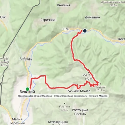 ModerateTwo-dayVelykyi Bereznyi to Sil villagevia Ruskyi Mochar village, Mount YavirnykElevation profile203–1 013 m20 kmascent 886 m≈ 7 h walkingunder 1 km from the centre
 ModerateTwo-dayMarkedVelykyi Bereznyi village to Chornoholova villagevia Ruskyi Mochar village, Mount YavirnykElevation profile195–1 019 m20.7 kmascent 847 m≈ 7 h walkingunder 1 km from the centre
 EasyOne-dayMarkedRuskyi Mochar village loopvia Mount YavirnykElevation profile529–1 006 m9 kmascent 482 m≈ 3 h walkingunder 1 km from the centre
Peaks nearby
All peaks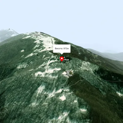 PeakMount Judah TopRuskyi Mocharaltitude 972 m1.9 km from the centreThe top of Mount Judah Top is 972 meters above sea level. The nearest settlements are: Ruskyi Mochar (2.1 km), Sil (4.2 km), Roztotska Pastil (4.3 km).
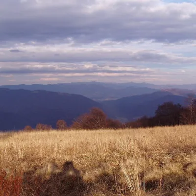 PeakMount YavirnykRuskyi Mocharaltitude 1 017 m2.2 km from the centre16 trails to the topMount Yavirnyk is a 1,017-meter peak of the Ukrainian Carpathians, which is located within the Polonynsky Beskyd.
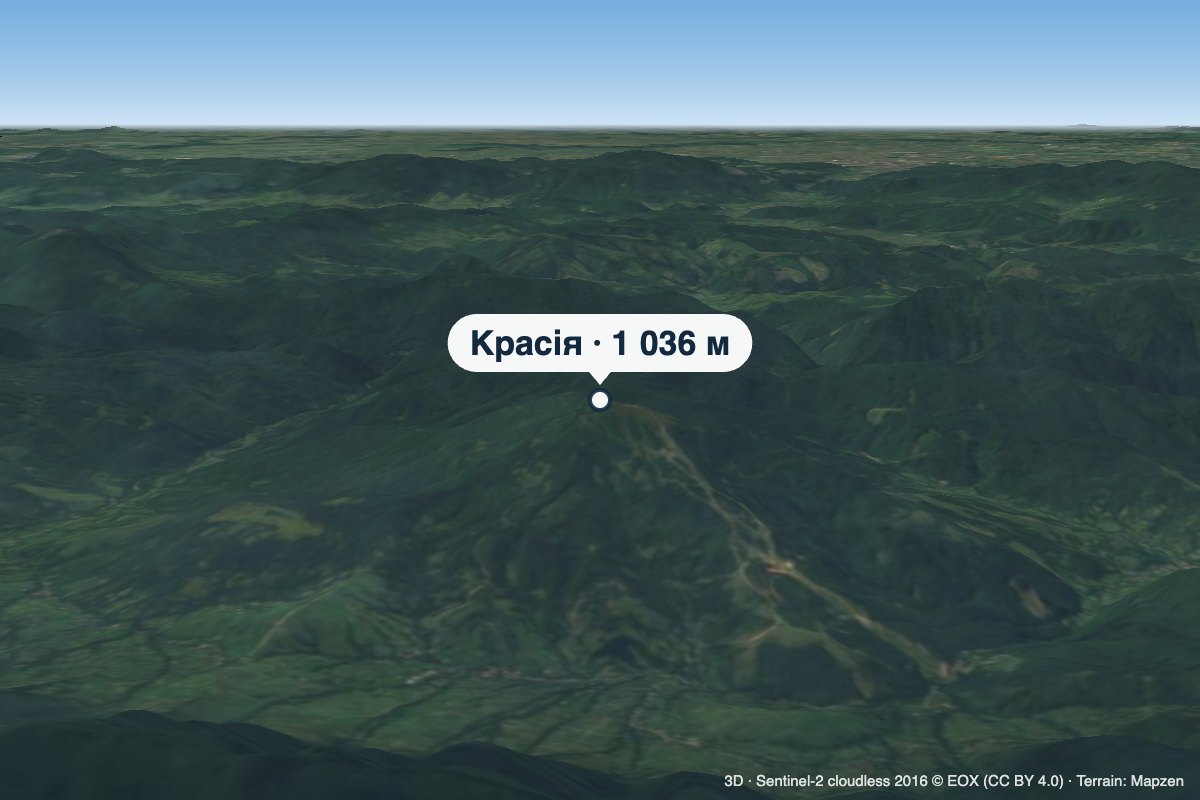 PeakMount KrasiiaVyshkaaltitude 1 036 m11 km from the centreKrasiia is a 1,036 m mountain in the Eastern Beskids above the village of Vyshka in the Uzhhorod (formerly Velykyi Bereznyi) district of Zakarpattia Oblast.
