Mount Krasiia
Krasiia is a 1,036 m mountain in the Eastern Beskids above the village of Vyshka in the Uzhhorod (formerly Velykyi Bereznyi) district of Zakarpattia Oblast. It is best known for the ski resort of the same name, which already in the 1980s was a favourite with professional skiers and beginners alike. The nearest villages are Vyshka, Kostrynska Roztoka and Kostryna.
How to get there
The shortest hiking route on our site is Kostryno – Mount Krasiia, 9.2 km long. For a longer day out there is Kostryna – Mount Yavirnyk – Mount Krasiia – Kostrynska Roztoka – Kostryna, 26.8 km, a full day on foot. In winter the resort's chairlifts take you up: the single-seat “Lokomotyv” (1,980 m) and a two-seat and a four-seat lift (1,114 m and 1,585 m) that continue one another.
Water, shelter and safety
Our map shows no springs or mountain huts near the summit, so carry your own water. The easiest place to stay overnight is Vyshka or the neighbouring villages. The slopes are first of all ski runs: in winter keep clear of the pistes used by skiers, and in summer remember that the weather changes quickly on open slopes. Tell someone your route before you set off. In an emergency call 112 or 101; contacts of the nearest units are on our mountain rescue page.
Interesting facts
- Krasiia has the longest ski run in Ukraine, more than 2.7 km; the resort's vertical drop reaches 600 m.
- The runs are 100–200 m wide, leaving room for both experienced skiers and beginners; snowboards and snow saucers are welcome too.
- Besides the chairlifts, the resort has T-bar lifts of 470 m and 650 m and a small 300 m rope tow.
Location on the map
Comments
Places to stay nearby
 HomesteadHomestead "U Dyadi Vani" Vyshka3.4 km from Mount KrasiiaPoolSaunaBBQ
 HomesteadVilla Uzh15 km from Mount KrasiiaThe cottage "Villa Uzh" is located amidst picturesque mountains in the village of Uzhok, 5 km from the Volosyanka-Zakarpatska railway station.Nearby: Church of St. Michael 500 m3 trails
 HomesteadHomestead "Ulich"16 km from Mount KrasiiaPoolSaunaNearby: Mt Judah Top 6.6 kmMt Yavirnyk 8.1 km4 trails
 HomesteadPrivate Homestead "Teremok" Vyshka1.5 km from Mount KrasiiaPoolSaunaFireplaceNearby: Mt Yavirnyk 8.7 kmMt Judah Top 9.3 km3 trails
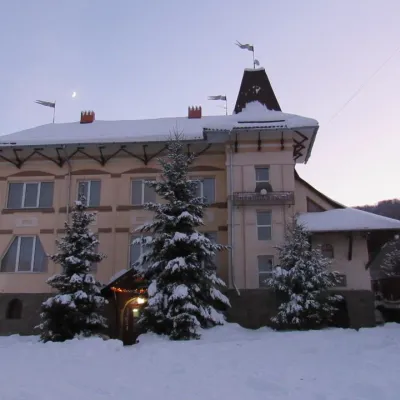 HotelHotel "Perlyna Krasyi" Vyshka2.1 km from Mount KrasiiaSaunaParkingWi‑FiNearby: Mt Yavirnyk 9.7 km1 trail
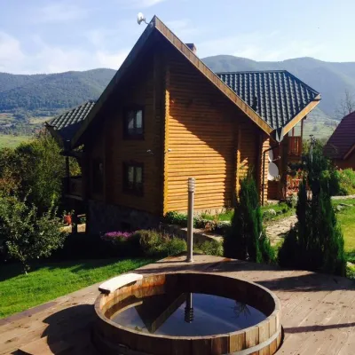 HomesteadHomestead "Ertash" Vyshka2.1 km from Mount KrasiiaPoolSaunaBreakfastNearby: Mt Yavirnyk 9.8 km1 trail
Trails nearby
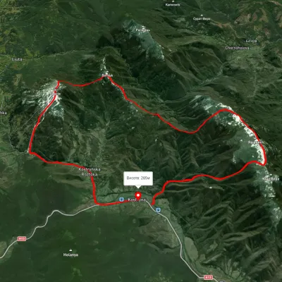 HardMulti-dayUnmarkedKostryno village loopvia Mount Yavirnyk, Mount Krasiia +1Elevation profile278–1 021 m26.8 kmascent 1 419 m≈ 9.5 h walkingunder 1 km from Mount Krasiia
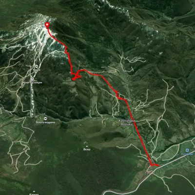 ModerateOne-dayUnmarkedKostryno village Mount KrasiiaElevation profile289–1 016 m9.2 kmascent 1 296 m≈ 5 h walkingunder 1 km from Mount Krasiia
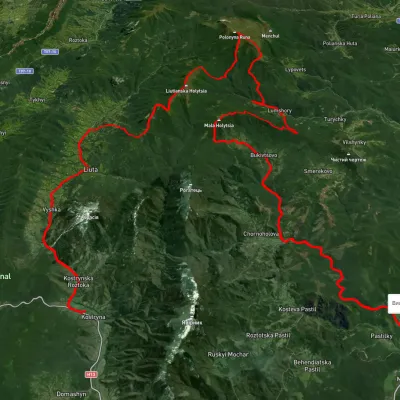 HardMulti-dayUnmarkedKostryno village to Pastilky villagevia Vyshka village, Liuta village +2Elevation profile167–1 472 m79.8 kmascent 3 090 m2.3 km from Mount Krasiia
Nearby attractions
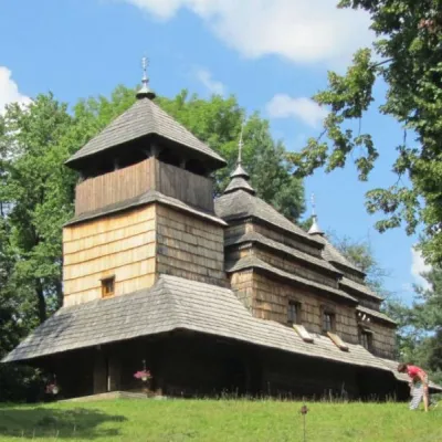 ChurchChurch of the Intercession of the Holy Virgin, Kostryna4 km from Mount KrasiiaChurch of the Intercession of the Holy Virgin - a wooden church located in the village of Kostryna, in the Velykobereznyanskyi district of the Zakarpattia region, a...
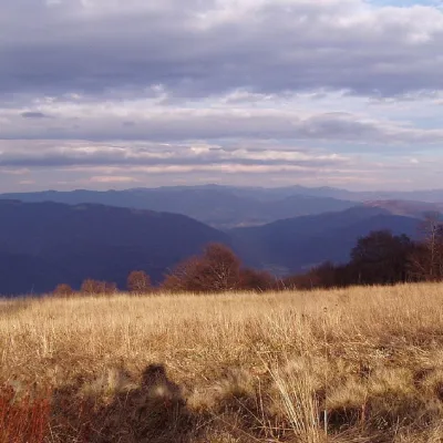 PeakMount Yavirnykaltitude 1 017 m8.6 km from Mount Krasiia16 trails to the topMount Yavirnyk is a 1,017-meter peak of the Ukrainian Carpathians, which is located within the Polonynsky Beskyd.
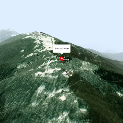 PeakMount Judah Topaltitude 972 m9.4 km from Mount KrasiiaThe top of Mount Judah Top is 972 meters above sea level. The nearest settlements are: Ruskyi Mochar (2.1 km), Sil (4.2 km), Roztotska Pastil (4.3 km).