Mount Liutianska Holytsia
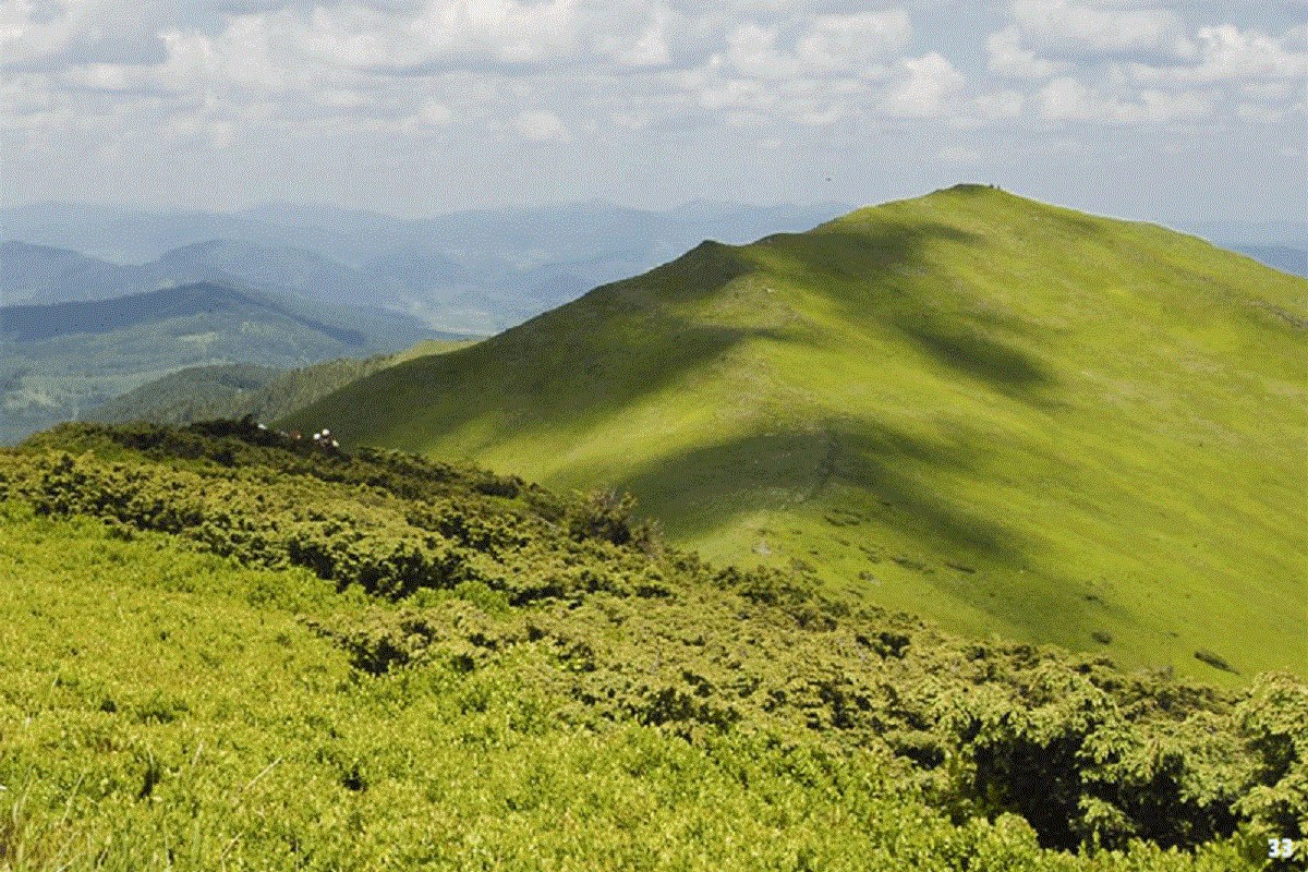
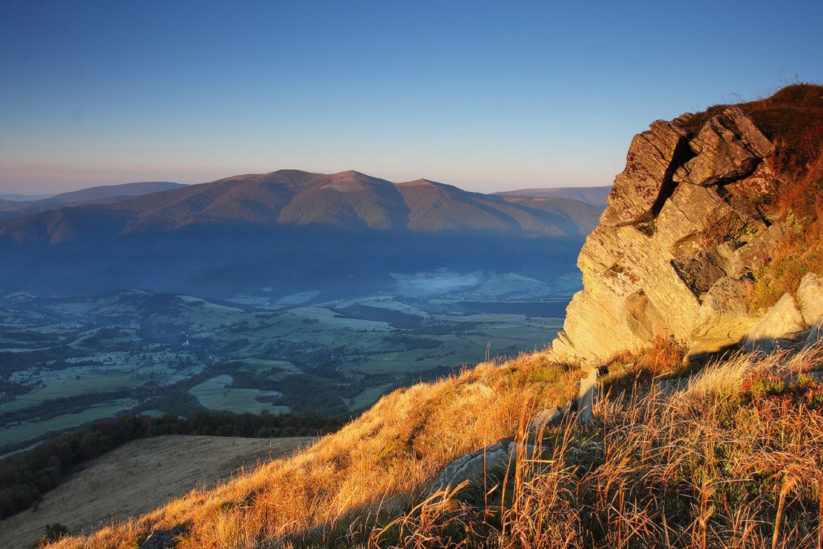
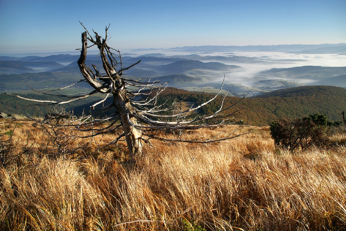
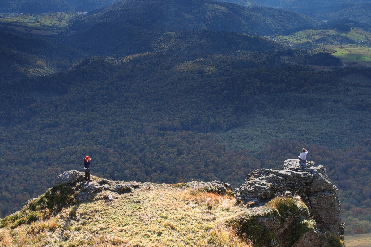
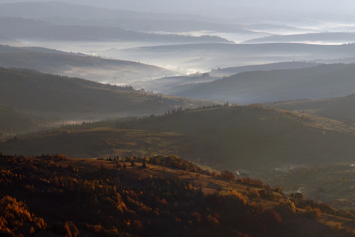
Liutianska Holytsia (also known as Lautanska Holytsia and Liutanska Holytsia) is a 1375-meter peak in the Ukrainian Carpathians, located in the northwestern part of the Polonyna Range (Polonyna Beskyd).
The mountain is located within the Velykyi Bereznyi district of Zakarpattia region, south of the village of Liuta.
Lyutyanska Holytsia has the shape of a narrow ridge stretching from northwest to southeast. The slopes of the peak in the northeastern direction are very steep and difficult to access.
The foot of the mountain is covered with forests, and above - with meadows.
To the southeast of Liutianska Holytsia is the Polonyna Runa mountain range.
The nearest settlements are the village of Liuta and the village of Lumshory in the Velykyi Bereznyi and Perechyn districts of Zakarpattia region, respectively.
The polonyna on Liutianska Holytsia
Liutianska Holytsia is not only a summit but also a narrow treeless polonyna that runs along the ridge from about 1,160 m up to its highest point of 1,374.9 m. After a steep climb through the forest the path suddenly brings you out onto a spacious meadow plateau: thick grass, bilberry and lingonberry bushes, and between them stone "patches" covered with moss and lichen. From the forest edge to the summit it is about 600 m along an old mountain road. Holytsia is the north-western neighbour of Polonyna Rivna (Runa), and it is from here that you see Runa's whole broad plateau best.
Views
In clear weather Holytsia opens up views of Runa to the south-east, Mala Holytsia to the west, Ostra Hora to the east, and the village of Liuta below to the north. The ridge is so prominent that it is photographed even from Tarnica in the Polish Bieszczady.
Pastures
The name "holytsia", like that of other Carpathian peaks with this word, points to a treeless, "bare" mountain. The treeless tops of the Polonynskyi Ridge were traditionally used as pastures, but sources do not say whether livestock grazes here today. There is no cheese and no hut serving food on the ridge, so bring your own.
Routes to the polonyna
- Liuta — Liutianska Holytsia — Lumshory — green marking, a north-to-south crossing of the ridge.
- Lumshory — Liutianska Holytsia — Lumshory — a loop of about 14 km, roughly 6.5 hours: from the "Polonyna" tourist centre along the Turytsia past the Solovei and Partyzan waterfalls, then up a steep spur to the plateau; down along 2.5 km of open ridge and a steep descent through the forest.
- Liuta — Danylivska — Liutianska Holytsia — Lumshory and the long traverse Kostryna — Liuta — Holytsia — Runa — for those who want to combine both polonynas.
Water and safety
There are no springs on the ridge itself; the nearest is a spring below Holytsia at about 1,250 m. The open ridge is dangerous in thunderstorms and fog, and part of the climb crosses overgrown slopes and windfalls — you need good footwear, an offline map and time in reserve. Emergency number: 112.
What visitors say
- Holytsia is valued for its quiet: part of the route crosses rarely visited slopes where you can feel the presence of wildlife.
- The hardest section is the final climb to the plateau: it is very steep and overgrown in places with young beech.
- The reward is an unexpectedly wide grassy meadow and a view of the whole of Runa.
- On the way down to Lumshory there is a meadow that in summer is often scattered with wildflowers.
Nearby, the Lumshory waterfalls and the Voievodyn Waterfall are worth a visit.
Photos: Maximym44, CC BY-SA 4.0, Wikimedia Commons.
Video
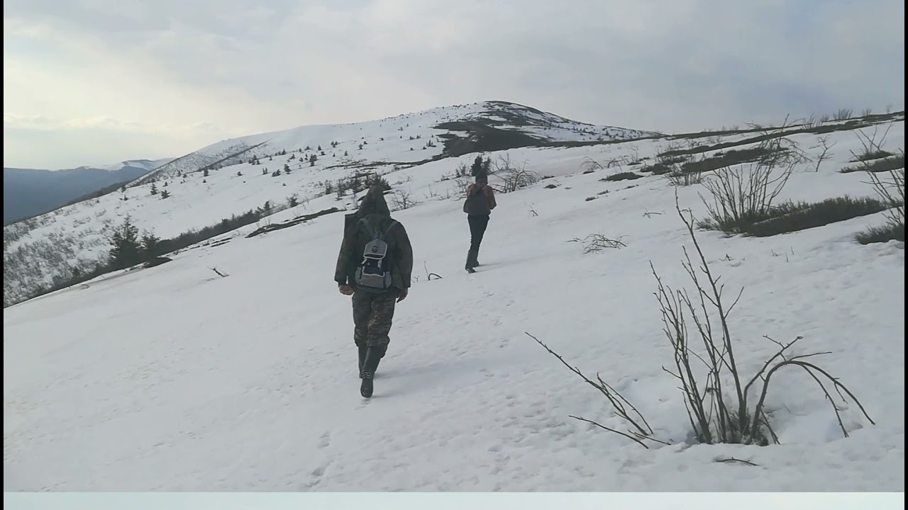 Похід на засніжену Лютянську Голицюпросто карпати
Location on the map
Water and shelter nearby
- Spring below Mount Liutianska Holytsia (6)490 m · Not verified · 1 251 m
- Spring below Mount Liutianska Holytsia (4)2 km · Not verified · 1 060 m
- Spring below Mount Liutianska Holytsia (3)2.2 km · Not verified · 832 m
- Spring below Mount Liutianska Holytsia (7)2.2 km · Not verified · 1 081 m
- Spring below Mount Liutianska Holytsia (5)2.3 km · Not verified · 1 007 m
- Spring below Mount Liutianska Holytsia (2)2.3 km · Not verified · 830 m
- Spring below Mount Liutianska Holytsia2.4 km · Not verified · 822 m
- Spring (Lumshory, 7)2.8 km · Not verified · 620 m
- Spring (Lumshory, 6)2.8 km · Not verified · 882 m
Comments
Places to stay nearby
All stays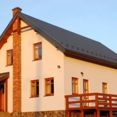 HotelKalynkaVyshka5.8 km from Mount Liutianska HolytsiaSaunaBBQParkingNearby: Mount Liutianska Holytsia 5.8 kmOstra Gora 9.9 km3 trailsfrom 1 210 UAH per night
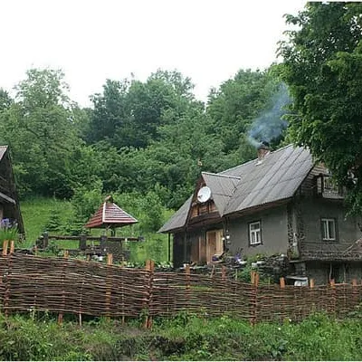 HotelU MyronaLumshory6.1 km from Mount Liutianska HolytsiaHot tubSaunaBBQNearby: Lumshory waterfalls 1.9 kmChurch of St. Basil the Great 2.7 km12 trailsfrom 1 100 UAH per night
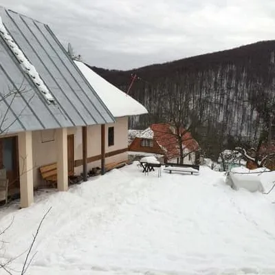 HotelU SerhiiLumshory6.2 km from Mount Liutianska HolytsiaParkingNearby: Lumshory waterfalls 2.1 kmChurch of St. Basil the Great 2.8 km12 trailsfrom 2 750 UAH per night
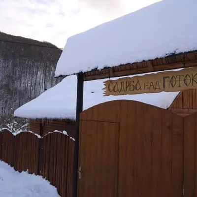 HotelNad potokomLumshory6.4 km from Mount Liutianska HolytsiaHot tubParkingWi‑FiNearby: Lumshory waterfalls 2.2 kmChurch of St. Basil the Great 2.6 km13 trailsfrom 1 500 UAH per night
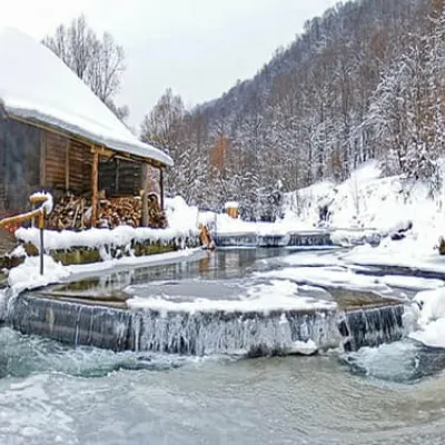 CottageMyslyvska SadynaLumshory6.6 km from Mount Liutianska HolytsiaHot tubSaunaSPANearby: Lumshory waterfalls 2.4 kmChurch of St. Basil the Great 2.5 km13 trailsfrom 700 UAH per night
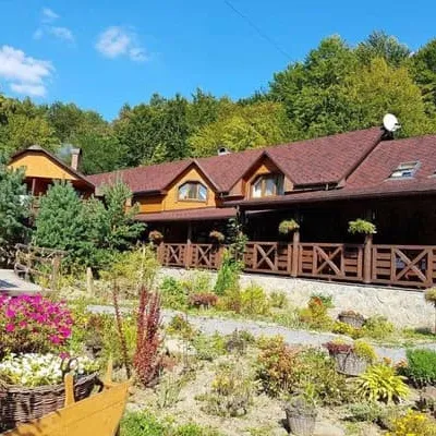 HotelZelena SadibaLumshory9.5 km from Mount Liutianska HolytsiaHot tubPoolBBQNearby: Church of St. Basil the Great 2.4 kmLumshory waterfalls 5.2 km13 trailsfrom 2 000 UAH per night
Trails via Mount Liutianska Holytsia
All 8 ModerateOne-dayLumshory village Mount Liutianska HolytsiaElevation profile446–1 375 m8.8 kmascent 929 m≈ 4 h walking
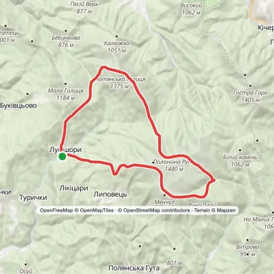 HardMulti-dayLumshory village loopvia Voievodyn WaterfallElevation profile441–1 474 m30.6 kmascent 2 256 m≈ 12 h walking
 HardMulti-dayKostryno village to Pastilky villagevia Vyshka village, Liuta village +2Elevation profile167–1 480 m79.8 kmascent 3 004 m
Nearby attractions
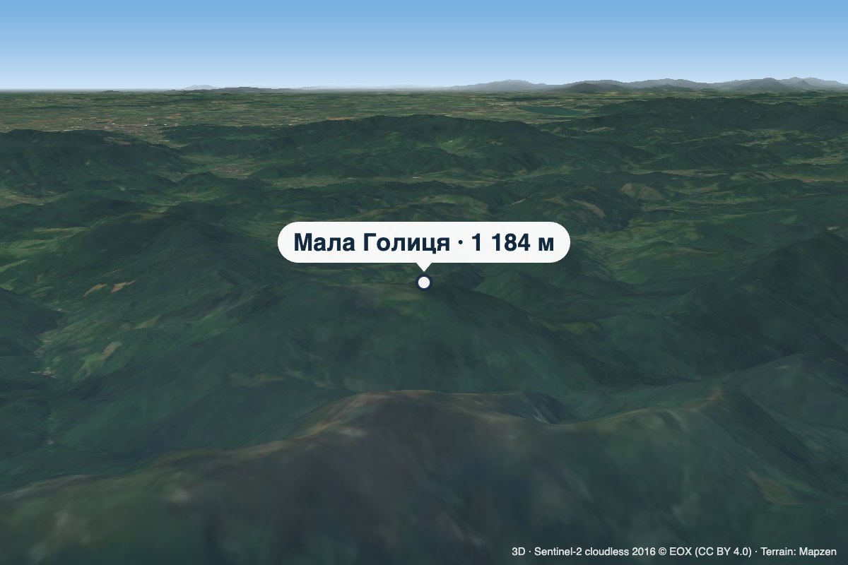 PeakMount Mala HolytsiaLumshoryaltitude 1 184 m3.5 km from Mount Liutianska HolytsiaMala Holytsia (“Little Holytsia”) is a 1,184 m summit in the north-western part of the Polonynskyi Ridge in Zakarpattia Oblast.
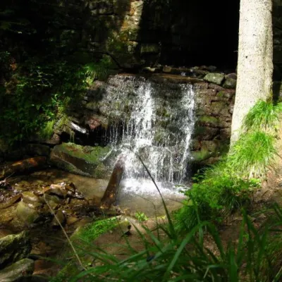 WaterfallLumshory waterfallsLumshory4.4 km from Mount Liutianska HolytsiaLumshory waterfalls are a group of waterfalls in the Ukrainian Carpathians, a hydrological natural monument of local importance (called "Waterfall on the Turytsia...
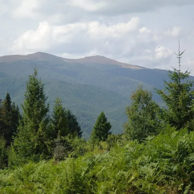 Mountain meadowPolonyna Rivna (Runa)Lumshoryaltitude 1 400 m7 km from Mount Liutianska HolytsiaPolonyna Rivna, more often called Runa in Zakarpattia (in the local dialect "runa" means exactly "flat"), is a broad, gentle massif in the western part of the...
Craft nearby
All craft places Cheese dairies & pasturesTurianskyi Dvir Estate Cheese Dairy, Turia PolianaTurya Polyana18 km from Mount Liutianska HolytsiaTurianskyi Dvir is a private country estate on the shore of a mountain lake in the village of Turia Poliana in the Perechyn area, about 50 kilometres from Uzhhorod.
 Honey & meaderiesTurianskyi Med Apiary, Turia RemetaTuri Remety19 km from Mount Liutianska HolytsiaTurianskyi Med («Turia Honey») is the family apiary of Myroslava and Viktor Minkovych in Turia Remeta, a picturesque village in the Turia river valley near Perechyn.
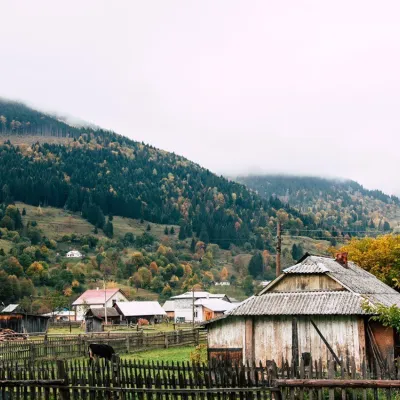 Cheese dairies & pasturesBilasovytsi Cheese Dairy, BilasovytsiaBilasovytsia22 km from Mount Liutianska HolytsiaBilasovytsi Cheese Dairy is a small family dairy in the Transcarpathian village of Bilasovytsia, set at about 600 metres above sea level at the foot of Mount Pikui.
 Eco farmsCsiga-Biga “Merry Stable” Farm, Velykyi BereznyiVelykyi Bereznyi24 km from Mount Liutianska HolytsiaVesela Stainia Csiga-Biga (“The Merry Stable”) is a small family farm in the town of Velykyi Bereznyi in the Uzh valley.
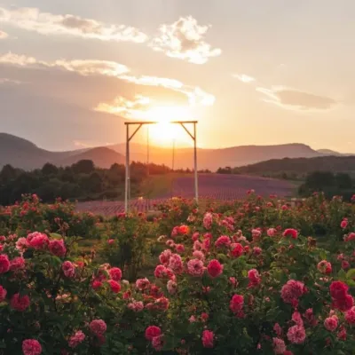 Eco farmsLavandova Hora lavender farm, PerechynPerechyn24 km from Mount Liutianska HolytsiaLavandova Hora (“Lavender Hill”) is a family farm on the edge of Perechyn that in just a few years has turned an ordinary hill above the town into one of the most...
 Craft producersKarpaty Nasolodzhuisia juices & jams, PerechynPerechyn25 km from Mount Liutianska Holytsia“Karpaty Nasolodzhuisia” (Carpathians, Enjoy) is a brand of the company Dzherela Karpat from Perechyn, a small town in the Uzh valley.
