Liuta — Lumshory (green route), via Liutianska Holytsia
Trail map
Where to stay nearby

About the trail
Route Liuta – Liutianska Holytsia – Lumshory (green route). Has green marking (local routes). Along the route you will see: Lumshory waterfalls, Mount Liutianska Holytsia.
At a glance
A one-day route of 21.9 km with 1,459 m of ascent from Lumshory (green route) to Liuta. Estimated walking time: about 8 h, not counting stops. Difficulty: hard. Waymarking: green.
Route stages
- 0–11 kmClimb of 870 m to Mount Liutianska Holytsia (1,375 m)
- 11–15 kmDescent of 450 m (down to 885 m)
- 15–17 kmGentle ups and downs at 860–890 m
- 17–18 kmDescent of 220 m (down to 645 m)
- 18–22 kmGentle ups and downs at 500–650 m
Steepest kilometre: km 7–8, a climb of 270 m (≈26%).
Water and overnight stays
Springs near the trail: at km 10, 13 and 14. There are no springs between km 0 and 10 — carry at least 2.5 l of water.
Places to stay near the start: Lumshory; near the finish: Vyshka.
When to go
Best time: May to October. In winter deep snow is possible, so experience and winter gear are needed.
Getting there
Start: Lumshory (green route). This is a one-way route: the finish is 12 km from the start in a straight line, so plan your way back in advance.
FAQ
- How long does the route take?
- Estimated walking time: about 8 h, not counting stops.
- Is there water on the route?
- Springs near the trail: at km 10, 13 and 14. There are no springs between km 0 and 10 — carry at least 2.5 l of water.
- Where can I stay overnight?
- Places to stay near the start: Lumshory; near the finish: Vyshka.
Water and shelter on the route
- Spring below Mount Liutianska Holytsia (6)km 10.1 from the start · 280 m off the path · Not verified · 1 251 m
- Spring below Mount Liutianska Holytsia (4)km 12.9 from the start · 230 m off the path · Not verified · 1 060 m
- Spring below Mount Liutianska Holytsia (5)km 14.2 from the start · Not verified · 1 007 m
Comments
What to see on the trail
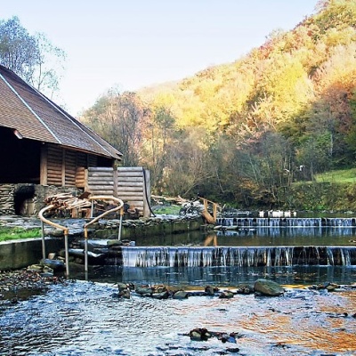
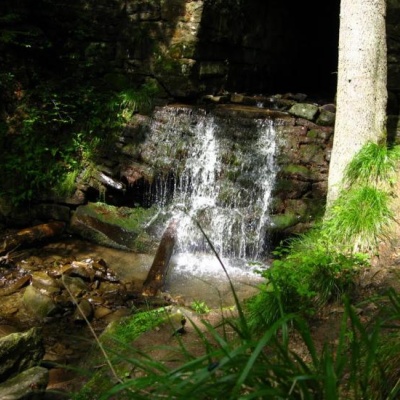 Lumshory waterfallsaltitude 483 mLumshory waterfalls are a group of waterfalls in the Ukrainian Carpathians, a hydrological natural monument of local importance (called "Waterfall...
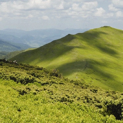 Mount Liutianska Holytsiaaltitude 1 375 mLiutianska Holytsia (also known as Lautanska Holytsia and Liutanska Holytsia) is a 1375-meter peak in the Ukrainian Carpathians, located in the...
Trails nearby
All trails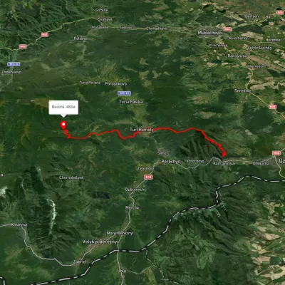 HardMulti-dayMarkedLumshory Nevytske CastleElevation profile176–943 m40.9 kmascent 2 234 m
 ModerateOne-dayUnmarkedLumshory village Mount Liutianska HolytsiaElevation profile443–1 356 m8.8 kmascent 956 m≈ 4 h walking
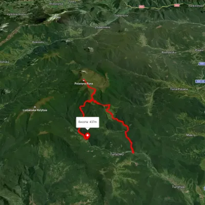 HardMulti-dayUnmarkedTurychky village to Lumshory villagevia Runa polonynaElevation profile275–1 474 m26.5 kmascent 1 290 m≈ 9 h walking