Kostryno village – Mount Krasiia
Unmarked trailmore
It may be partly marked. Unmarked trails have no information boards, signposts or auxiliary signs (water, campsite, etc.). The decision to walk the trail is entirely your own responsibility.
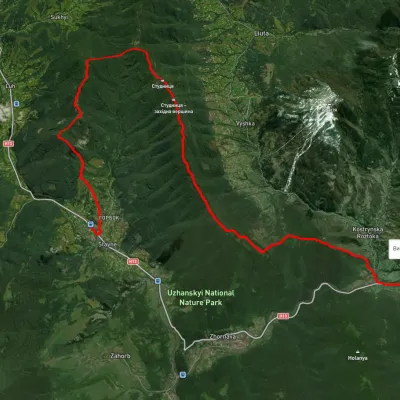
Trail map
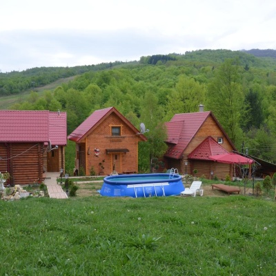
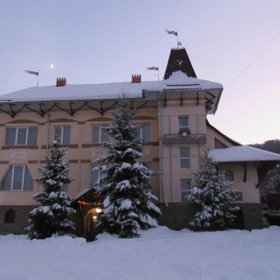
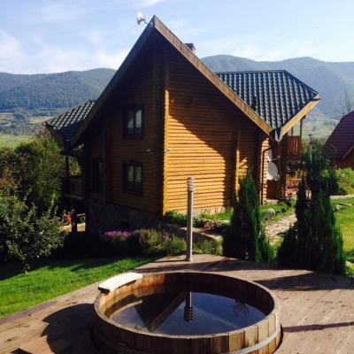
Where to stay nearby

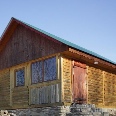
About the trail
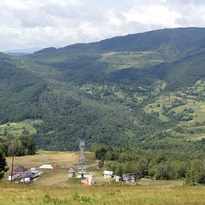
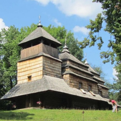
Route Kostryno village – Mount Krasiia. Along the route you will see: Church of the Intercession of the Holy Virgin, Kostryna.
At a glance
A one-day route of 9.2 km with 1,296 m of ascent from Kostryno village to Mount Krasiia. Estimated walking time: about 4.5 h, not counting stops. Difficulty: moderate. Waymarking is missing or partial.
Route stages
- 0–9 kmClimb of 710 m to Mount Krasiia (1,036 m)
Steepest kilometre: km 7.5–8.5, a climb of 190 m (≈17%).
Water and overnight stays
Our map shows no springs near the trail — bring your own water (at least 2.5 l).
Places to stay near the start and finish: Vyshka.
When to go
Best time: May to October. In winter deep snow is possible, so experience and winter gear are needed.
Getting there
Start: Kostryno village. Most places to stay near the start are in Vyshka. This is a one-way route: the finish is 5 km from the start in a straight line, so plan your way back in advance.
FAQ
- How long does the route take?
- Estimated walking time: about 4.5 h, not counting stops.
- Is there water on the route?
- Our map shows no springs near the trail — bring your own water (at least 2.5 l).
- Where can I stay overnight?
- Places to stay near the start and finish: Vyshka.
Comments
What to see on the trail
Trails nearby
All trails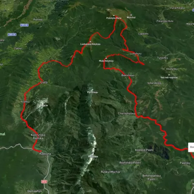 HardMulti-dayUnmarkedKostryno village to Pastilky villagevia Vyshka village, Liuta village +2Elevation profile167–1 472 m79.8 kmascent 3 090 m
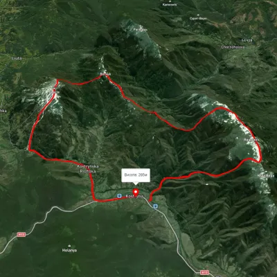 HardMulti-dayUnmarkedKostryno village loopvia Mount Yavirnyk, Mount Krasiia +1Elevation profile278–1 021 m26.8 kmascent 1 419 m≈ 9.5 h walking
 HardTwo-dayUnmarkedStavne village to Kostryno villagevia Mount Bertse, Mount VezhaElevation profile292–1 049 m22.3 kmascent 1 234 m≈ 8 h walking