Alpine accentor
About
The Alpine accentor is a true inhabitant of the highest peaks. In Ukraine, it lives only in the Carpathians, in the subalpine and alpine zones at an altitude of approximately 1,600–2,060 m, among rocky slopes, scree, and cliffs. Its nesting has been confirmed on Chornohora (Petros, Howerla, Pip Ivan Chornogirskiy), on Svydovets, in the Maramureș massif, and in Gorgany; it may also nest on other peaks. Outside of Ukraine, the accentor lives in the Tatras and on high ridges in Romania.
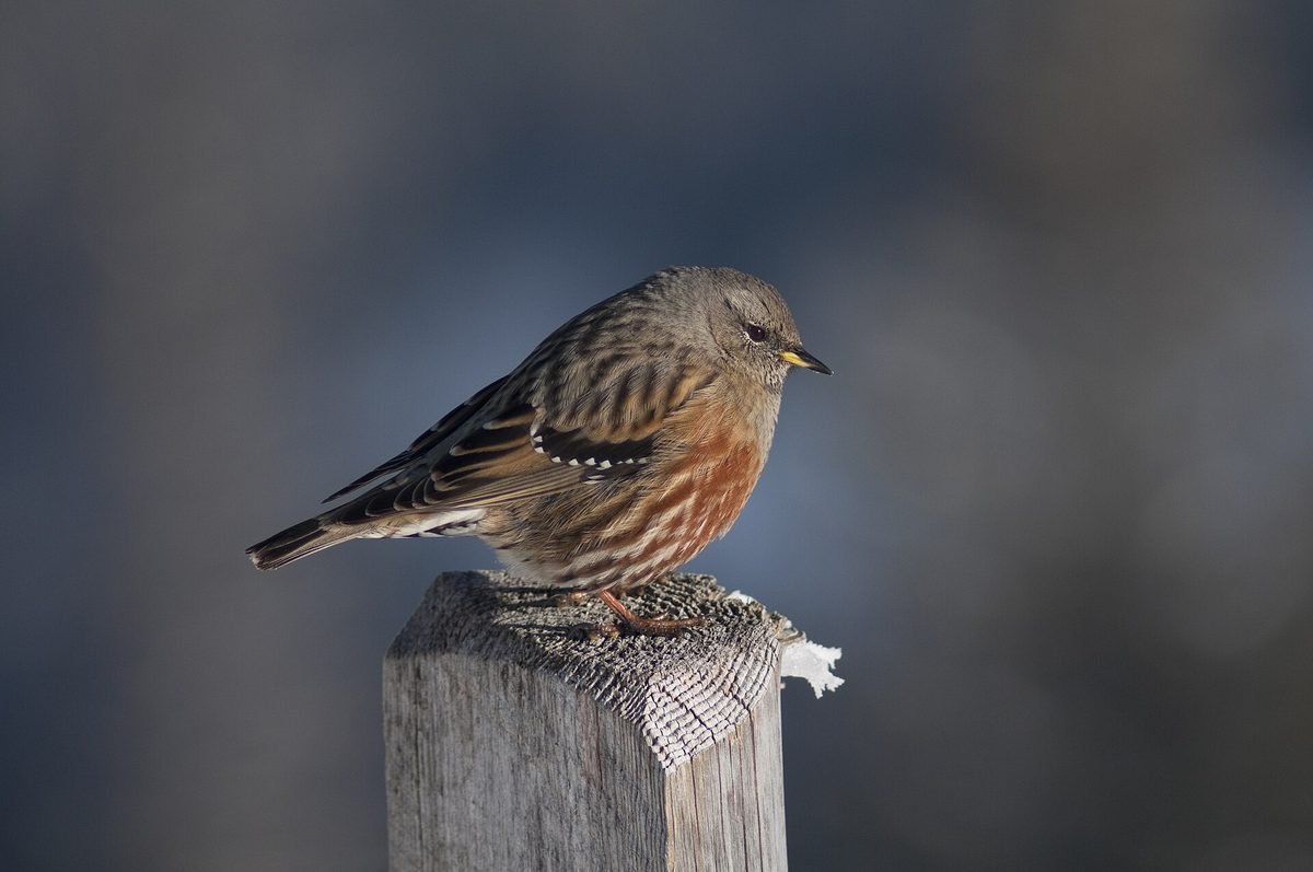
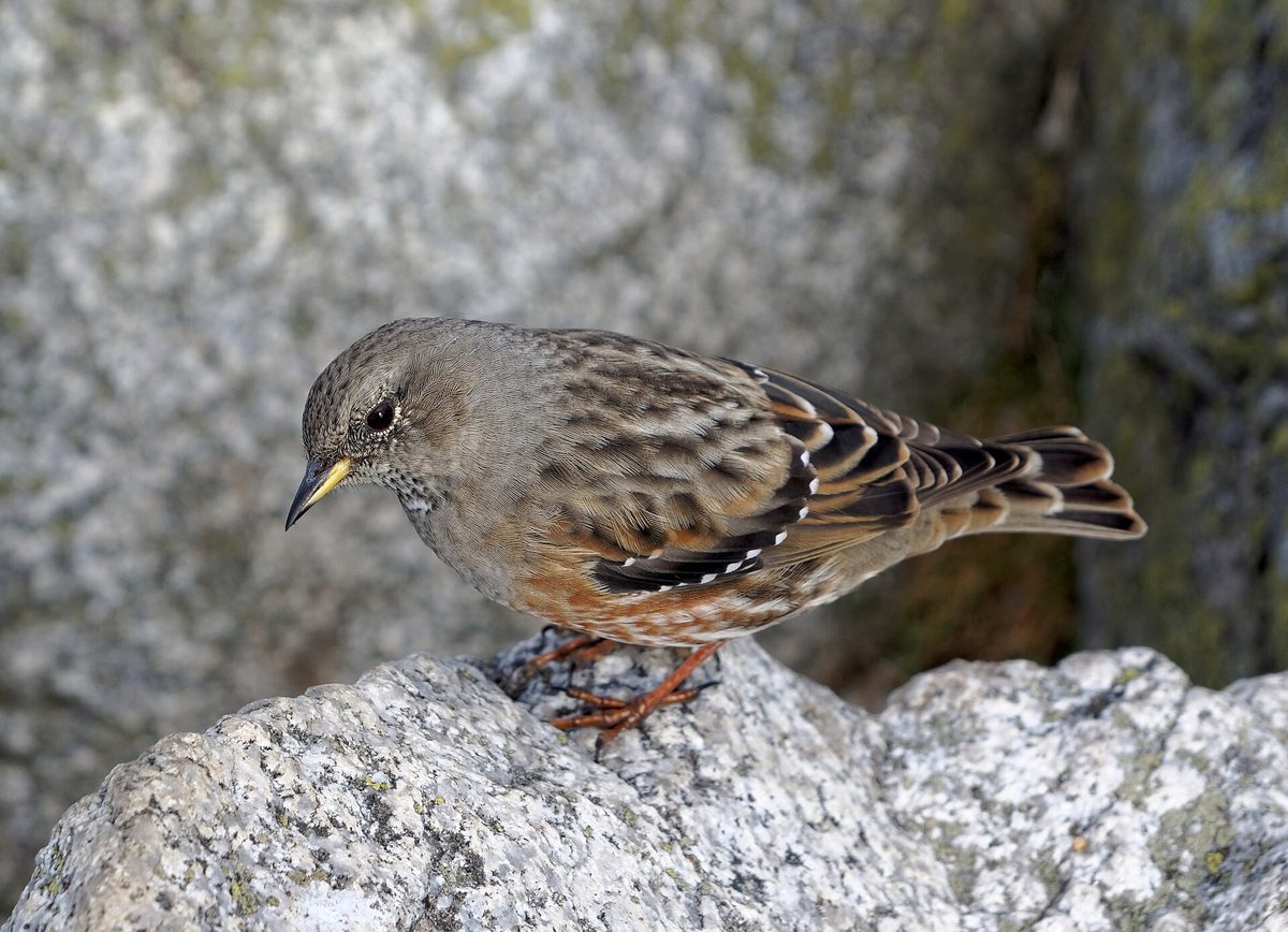
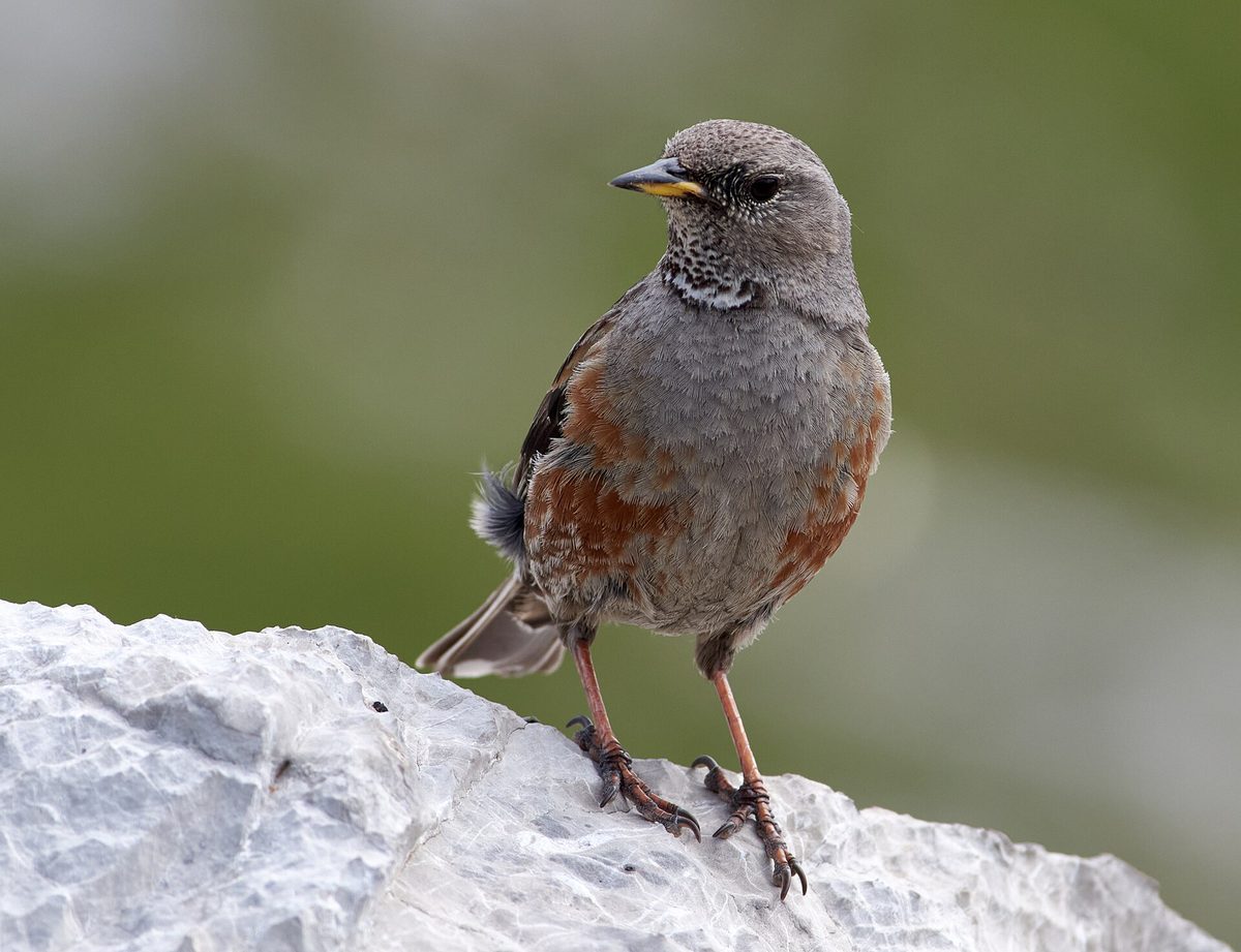
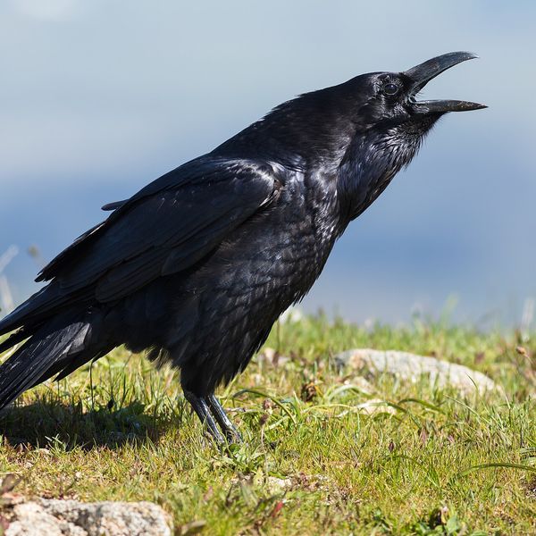
The bird is about 18 cm long and weighs about 40 g, slightly larger than a sparrow. It has a grayish head and chest, reddish spots on the sides, a small black-and-white 'net' on the throat, and a row of white spots on the wing. Males and females are similar.
Accentors are trusting: they often allow tourists to approach closely, running among the stones or sitting on the summit boulders. In summer, they eat insects and spiders, while in autumn and winter, they feed on seeds.
The accentor nests late—in late May or June, depending on when the snow melts. It hides its nest in a crevice of a rock or among stones; the clutch usually contains 3–5 blue eggs, which the female incubates for 14–16 days, and the chicks leave the nest at about two weeks old. The accentor is resident: in winter, it does not migrate but descends into the valleys and often appears near villages and ski resorts.
The Alpine accentor is listed in the Red Book of Ukraine as a vulnerable species.
Where in the Carpathians

The map shows where naturalists recorded the species (GBIF, CC0 and CC BY records), not every place it lives. The Ukrainian Carpathians are less studied, so a blank area does not mean the species is absent.
- Countries
- Poland · Slovakia · Romania · Ukraine · Hungary · Czechia · Serbia
- Mountain ranges
- Western Tatras, High Tatras, Făgăraș Mountains, Chornohora, Low Tatras, Lesser Fatra, Börzsöny and Cserhát, Bucegi Mountains, Retezat Mountains, Bükk
- Altitude belts
- Beech forests (600–1200 m) · Conifer forests (1200–1600 m) · Subalpine belt (1600–1900 m) · Alpine belt (above 1900 m)
When to see it
| Jan | Feb | Mar | Apr | May | Jun | Jul | Aug | Sep | Oct | Nov | Dec | |
|---|---|---|---|---|---|---|---|---|---|---|---|---|
| Sightings |
From naturalists’ observations in the Carpathians (iNaturalist, research grade): the darker the cell, the more often the species is seen that month.
Protection and rules
A species in the Red Book of Ukraine.
FAQ
Which bird lives on the peaks of the Carpathians?
On the highest peaks—among rocks and scree at an altitude of 1,600–2,060 m—lives the Alpine accentor. It is often seen on Chornohora, Svydovets, in the Maramureș massif, and in Gorgany.
Is the Alpine accentor listed in the Red Book of Ukraine?
Yes, as a vulnerable species.
Similar species
Where to meet it
Trails
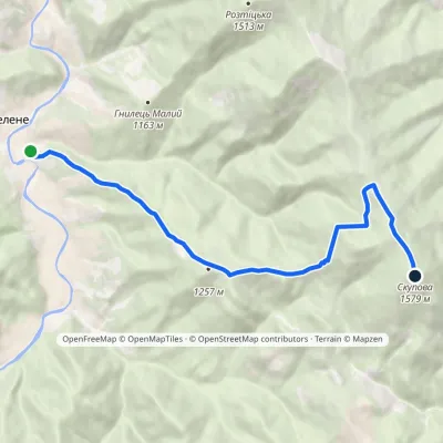 ModerateOne-dayMarkedZelene Mount SkupovaElevation profile777–1 579 m8.2 kmascent 840 m≈ 3.5 h walking
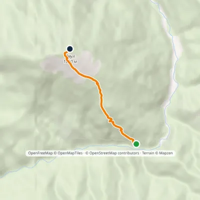 EasyOne-dayMarkedAscent of Mount OvulElevation profile981–1 609 m2.6 kmascent 628 m≈ 2 h walking
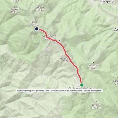 EasyOne-dayMarkedMount Pip Ivan Chornohirskyi Lake BrebeneskulElevation profile1 791–2 028 m8.5 kmascent 207 m≈ 2.5 h walking
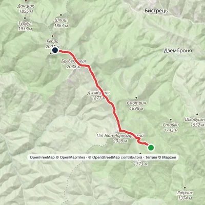 ModerateOne-dayMarkedVesnarka polonyna to Lake Brebeneskulvia Mount Pip Ivan Chornohirskyi, Mount DzembroniaElevation profile1 506–2 035 m13.2 kmascent 911 m≈ 5 h walking
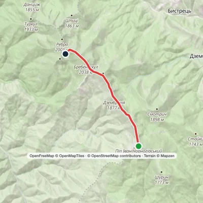 EasyOne-dayMount Pip Ivan Chornohirskyi to Lake Brebeneskulvia Mount Dzembronia, Mount BrebeneskulElevation profile1 799–2 035 m8.8 kmascent 364 m≈ 3 h walking
 HardMulti-dayMarkedMount Pip Ivan Chornohirskyi to Mount Pip Ivan Marmaroskyivia Mount Stih, Mount Mala NenieskaElevation profile1 343–2 028 m36.6 kmascent 1 733 m≈ 12.5 h walking
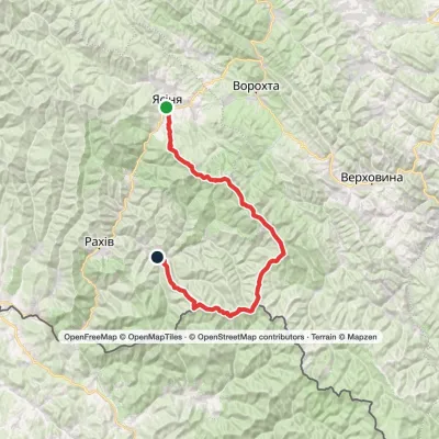 HardMulti-dayMarkedYasinia to Bohdan villagevia Mount Petros, Mount Hoverla +2Elevation profile531–2 061 m79.3 kmascent 3 795 m
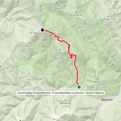 ModerateOne-dayShybene village to Mount Pip Ivan Chornohirskyivia Vesnarka polonynaElevation profile948–2 028 m11.9 kmascent 1 297 m≈ 5.5 h walking
 ModerateTwo-dayMarkedShybene village loopvia Mount Pip Ivan ChornohirskyiElevation profile906–2 028 m15.8 kmascent 1 189 m≈ 6.5 h walking
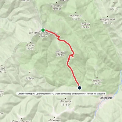 EasyOne-dayMarkedMount Pip Ivan Chornohirskyi to Shybene villagevia Vesnarka polonynaElevation profile908–2 028 m8.9 kmascent 61 m≈ 2.5 h walking
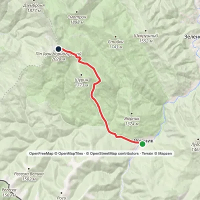 ModerateOne-dayMarkedShybene village to Mount Pip Ivan Chornohirskyivia Vesnarka polonynaElevation profile854–2 028 m10.6 kmascent 1 205 m≈ 5 h walking
 ModerateOne-dayMarkedShybene village to Mount Pip Ivan Chornohirskyivia Vesnarka polonynaElevation profile853–2 028 m11 kmascent 1 206 m≈ 5 h walking
Peaks and meadows
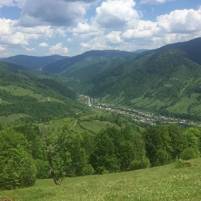 PeakMount Mala KurtiaskaLopukhivaltitude 1 644 m · Svydovets range11 trails to the topMala Kurtyaska is a mountain in the Ukrainian Carpathians, which is located in the western part of the Svydovets...
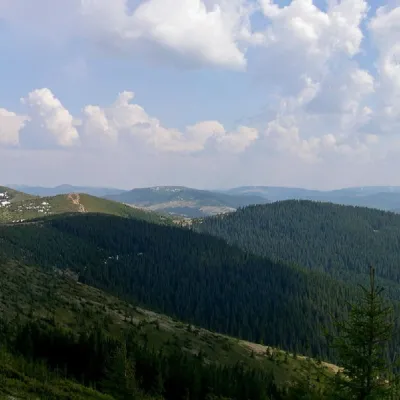 PeakMount PogrebinaKhutir Burkutaltitude 1 605 m · Hryniava Mountains range1 trail to the topPohrebina (also known as Halya Mykhailova) is a peak of the Ukrainian Carpathians, which lies within the Hryniava...
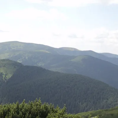 PeakBerlyaska MountainLopukhivaltitude 1 555 m · Svydovets rangeBerlyaska is a 1,555-meter peak of the Ukrainian Carpathians, which is located within the Svydovets mountain range ...
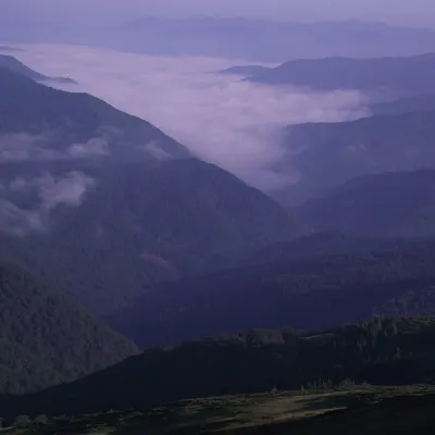 PeakMount Velyka Kurtyaska (Svydovets)Ust-Chornaaltitude 1 621 m11 trails to the topVelyka Kurtyaska is a mountain in the Svydovets massif (Ukrainian Carpathians).
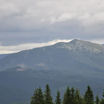 PeakMount OvulOsmolodaaltitude 1 609 m · Gorgany range2 trails to the topOvul is a 1,609 m mountain, the highest point of the Verkhnii Dariv ridge in the Western Gorgany.
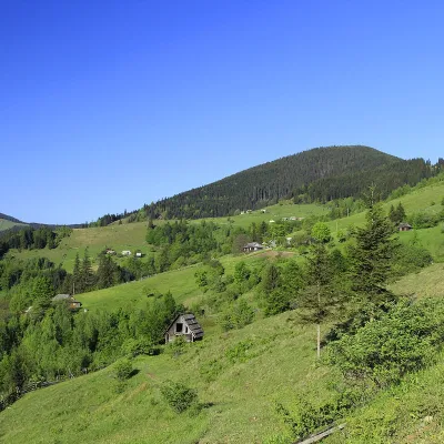 PeakMount PidpulaUst-Chornaaltitude 1 634 m · Svydovets range3 trails to the topPidpula is a peak in the Ukrainian Carpathians, which is located in the northwestern part of the Svydovets mountain...
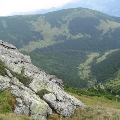 PeakMount ShurinYavirnyk (Shybene)altitude 1 772 m · Chornohora range29 trails to the topMount Shuryn, with a height of 1772 meters, is a peak of the Ukrainian Carpathians located in the southeastern part...
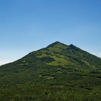 PeakMount StaikyYavirnyk (Shybene)altitude 1 743 m · Chornohora range1 trail to the topMount Staiky is a peak that lies within the Chornohora mountain range in the Ukrainian Carpathians, with a height of...
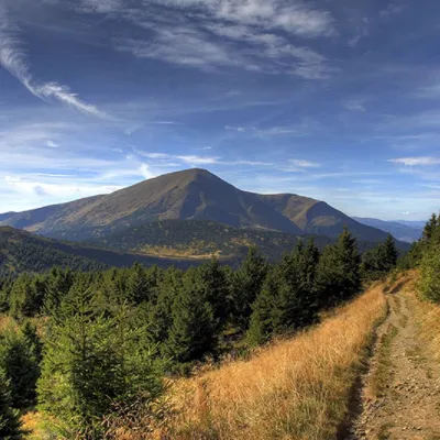 PeakMount PetrosYasinyaaltitude 2 020 m · Chornohora range92 trails to the topPetros (2020 m) is the fourth highest mountain in Ukraine, in the north-western part of Chornohora in Zakarpattia.
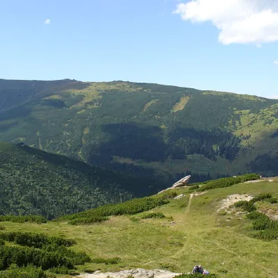 PeakMount MenchulDzembroniaaltitude 1 998 m · Chornohora range69 trails to the topMenchul (1998 m) is a peak in the south-eastern part of the main Chornohora ridge, 1.4 km from Brebeneskul; its...
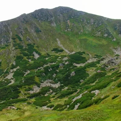 PeakMount BrebeneskulBystretsaltitude 2 035 m · Chornohora range71 trails to the topBrebeneskul (2035 m) is the second highest mountain in Ukraine, in the middle of the main Chornohora ridge.
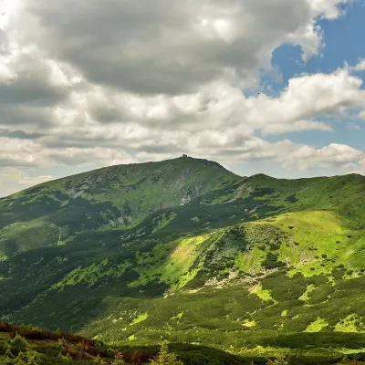 PeakMount Pip Ivan of Chornohora (Pip Ivan, Black Mountain)Dzembroniaaltitude 2 028 m93 trails to the topPip Ivan Chornohirskyi (2028 m) is the third highest mountain in Ukraine, at the south-eastern end of the Chornohora...
Waters and waterfalls
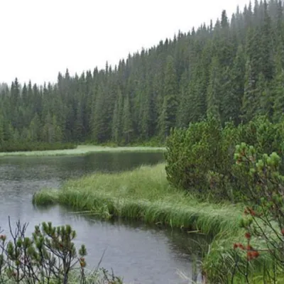 LakeLake MaricheykaYavirnyk (Shybene)Lake Maricheyka is one of the most picturesque high-altitude glacial lakes in the Carpathians, located on the...
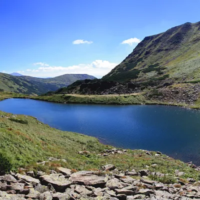 LakeLake BrebeneskulLuhyBrebeneskul is the highest mountain lake in the Ukrainian Carpathians (1801 m above sea level), a hydrological...
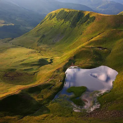 LakeLake Gereshaska (Dogyaska)YasinyaGerashaska (another name - Dogyaska ) is a high-mountain lake in the Ukrainian Carpathians, within the Rakhiv...
Mountain ranges: Chornohora, Gorgany, Bieszczady. In other countries: 🇸🇰 Western Tatras, 🇸🇰 High Tatras, 🇷🇴 Făgăraș Mountains, 🇸🇰 Low Tatras, 🇸🇰 Lesser Fatra, 🇭🇺 Börzsöny and Cserhát, 🇷🇴 Bucegi Mountains, 🇷🇴 Retezat Mountains, 🇭🇺 Bükk, 🇸🇰 Belianske Tatras, 🇸🇰 Cerová Highlands
Trails and peaks near which naturalists recorded the species (GBIF, iNaturalist), matched by altitude and habitat. Sightings are not guaranteed.
Sources
- Вікіпедія: Тинівка альпійська
- Wikipedia (en): Alpine accentor
- Перелік видів тварин, що заносяться до Червоної книги України (наказ Міндовкілля від 19.01.2021 № 29, зареєстровано в Мін'юсті 01.03.2021 за № 260/35882)
- Міндовкілля: текст переліку видів тварин Червоної книги України (PDF)
- GBIF: таксон і категорія МСОП
GBIF · iNaturalist · Wikidata · Distribution data: GBIF.org (CC0 and CC BY records), iNaturalist; names and identifiers: Wikidata (CC0). Text: Karpaty.rocks, checked 09.11.2026.
