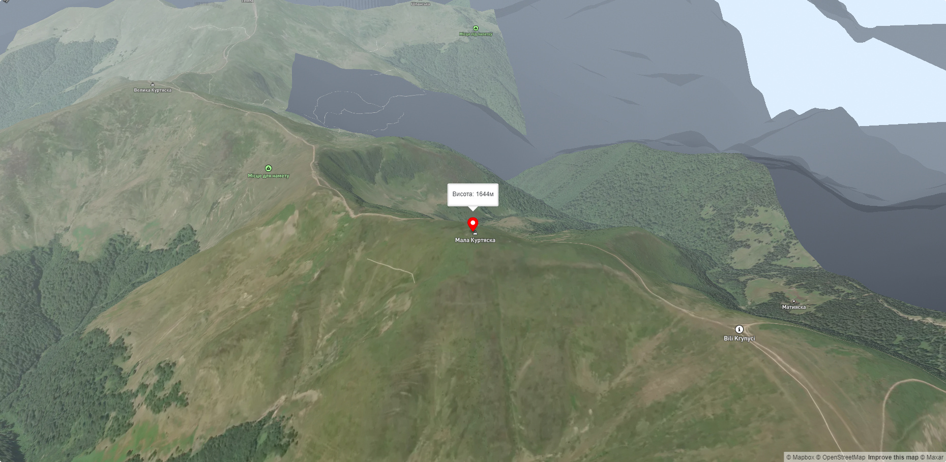
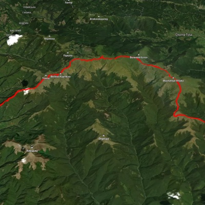
Mount Mala Kurtiaska
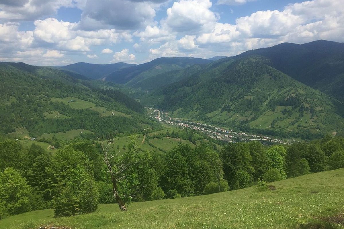
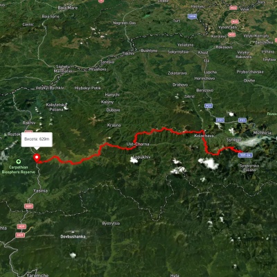
Mala Kurtyaska is a mountain in the Ukrainian Carpathians, which is located in the western part of the Svydovets mountain range. The peak is located in the northeastern part of the Tyachiv district of the Zakarpattia region, in the southeastern direction from the village of Lopukhiv.
The height is 1644 m (according to other information - 1652 m).
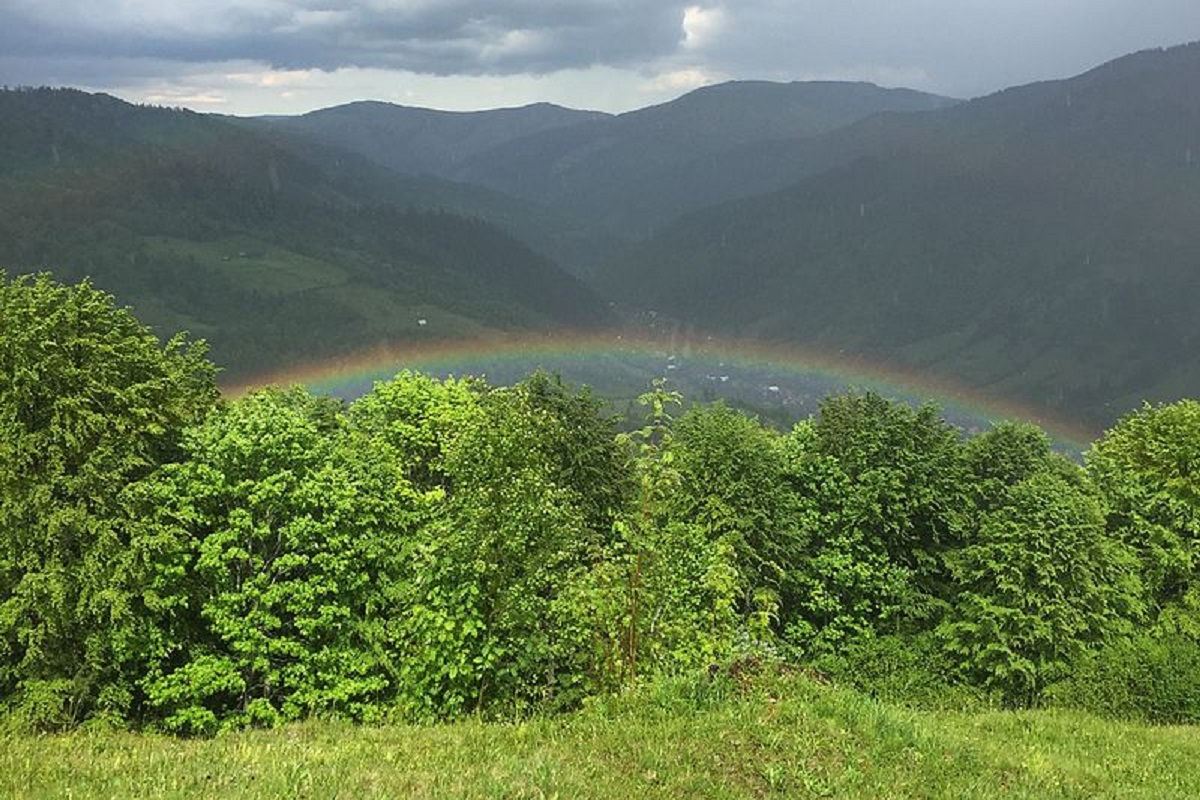
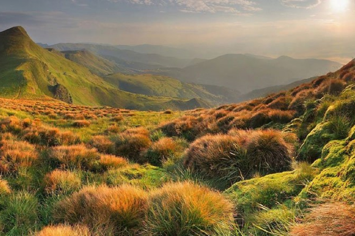
The slopes of the mountain in the northwestern and southeastern directions are very steep, sometimes with steep cliffs; a significant area is occupied by meadows covered with subalpine vegetation. The peak is unforested.
To the east of the Mala Kurtiaska mountain is the Ungaryaska mountain, and to the southwest - the Velyka Kurtiaska mountain.
The nearest settlement is the village of Lopukhiv, Tyachiv district, Zakarpattia region.
Accommodation around Mount Mala Kurtiaska:


Nearby hiking trails near Mount Mala Kurtiaska:
Which trails pass by Mount Mala Kurtiaska?
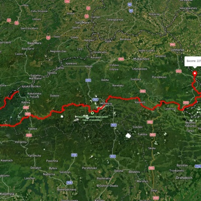
We suggest these hiking trails through or near Mount Mala Kurtiaska: Synevyr village, via Mount Nehrovets, Mereshor village, Krasna ridge, Ust-Chorna village and Svydovets ridge to Kvasy village, Transcarpathian Tourist Trail, Krasna village, via Mount Tempa, Mount Unhariaska, Mount Velykyi Kotel and Mount Blyznytsia to Kvasy village, Krasna village, via the Svydovets ridge to Rakhiv, Rakhiv, via Mount Blyznytsia, Mount Unhariaska and Mount Tempa to Ust-Chorna village, Kolochava village, via Krasna ridge, Ust-Chorna village and Svydovets ridge to Yasinia