Mount Pogrebina
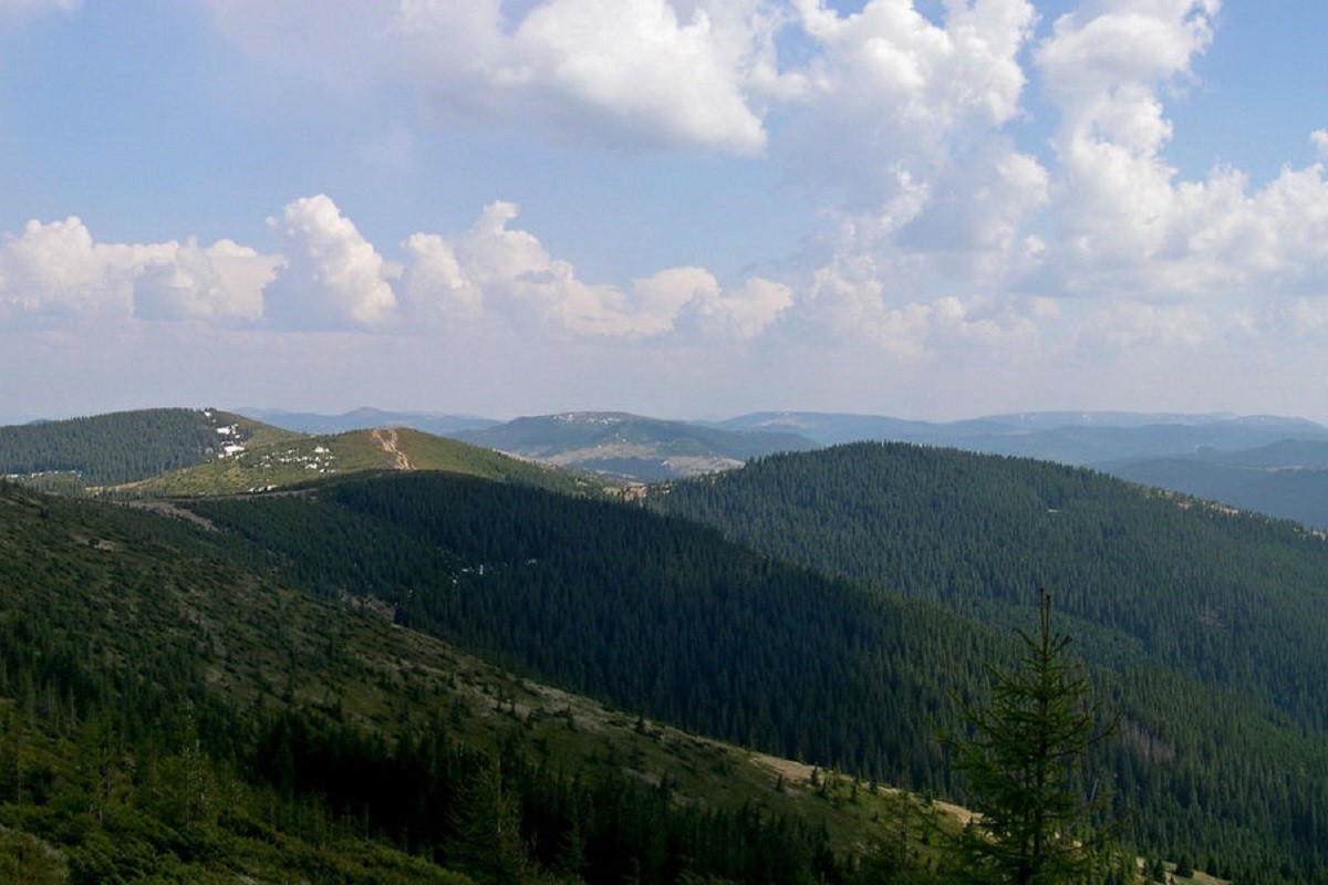
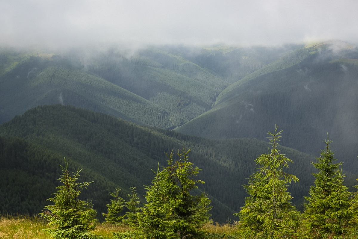
Pohrebina (also known as Halya Mykhailova) is a peak of the Ukrainian Carpathians, which lies within the Hryniava mountain range. The mountain is located on the territory of Verkhovyna district of Ivano-Frankivsk region, in the east direction from the village of Burkut.
The height is 1605 meters (according to other information - 1610 m).
Pohrebina occupies the northwestern part of the Pnivier ridge and is its highest peak, as well as the entire Hryniava mountain range.
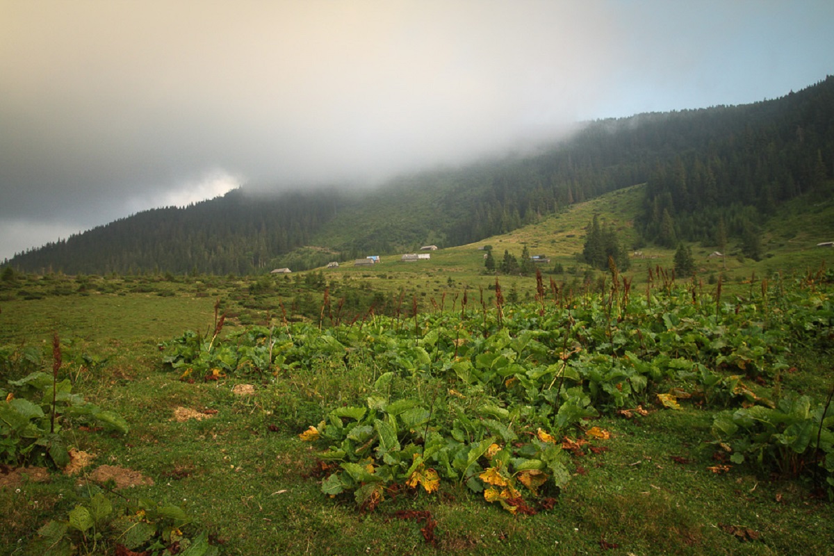
The southern and western slopes of Mount Pohrebina are steep and difficult to pass. The top is flat and unforested.
To the east-southeast of Pohrebina are the Baba Liudova and Masnyi Pryslip mountains.
The nearest settlement is the village of Burkut(Verkhovyna district, Ivano-Frankivsk region).
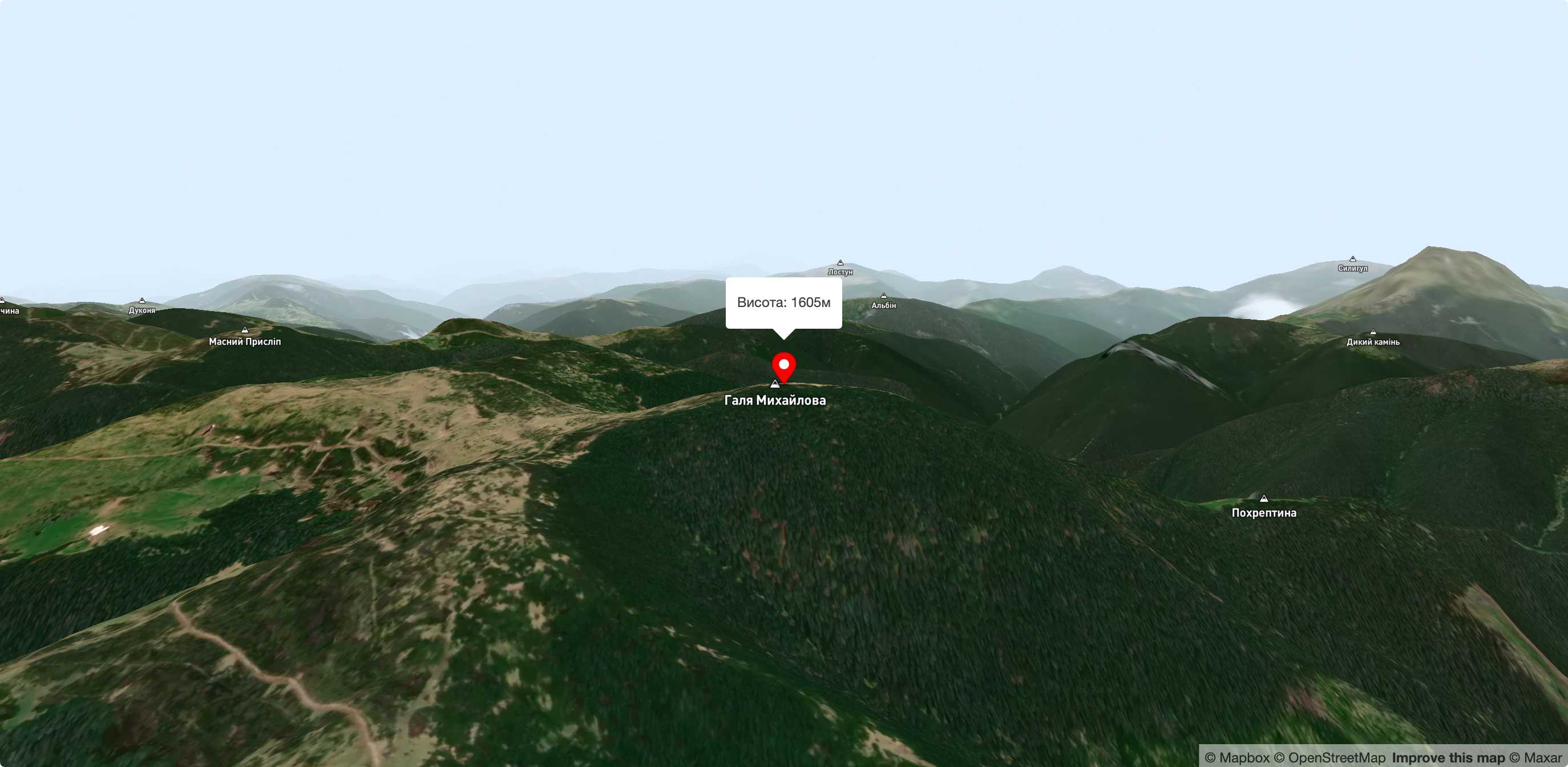
Nearby hiking trails near Mount Pogrebina:
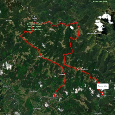
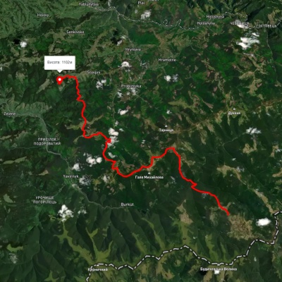
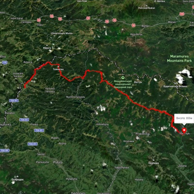
Which trails pass by Mount Pogrebina?
We suggest these hiking trails through or near Mount Pogrebina: Probiinivka village, via Mount Tarnytsia, Mount Pnivie and Mount Chyvchyn to Shybene village, Mount Chyvchyn, via the Pnivie ridge, the Vatunarka ridge and Mount Baba-Liudova to Stovpni Horishni village, Shepit village, via Mount Yarovytsia, Mount Pnivie and Mount Masnyi Pryslip to Shybene village, Dilove village, via Mount Pip Ivan Marmaroskyi, Mount Chyvchyn, Shybene village, Mount Pip Ivan Chornohirskyi and Mount Hoverla to Hoverla village, Shepit village, via Mount Yarovytsia, Mount Pnivie and Mount Tarnytsia to Probiinivka village, Krasnyk village, via Mount Krynta, Mount Zmiinska, Shybene village, Vesnarka polonyna and Lake Maricheika to Dzembronia village