Mount Menchul
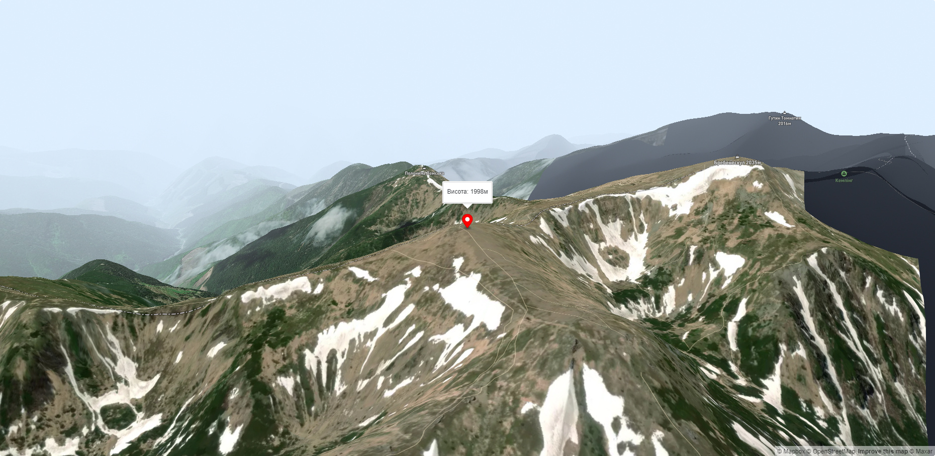
Menchul (also known as Munchel, which comes from the Romanian "munteul" meaning "mountain"), with a height of 1998 meters, is the seventh largest peak in the Ukrainian Carpathians. It is located on the border of Zakarpattia and Ivano-Frankivsk regions in the southeastern part of the Chornohora mountain range.
To the southeast of Menchul is Mount Dzembronia, to the northwest is Mount Brebeneskul, and to the northeast is the picturesque Rozshybenyk ridge.
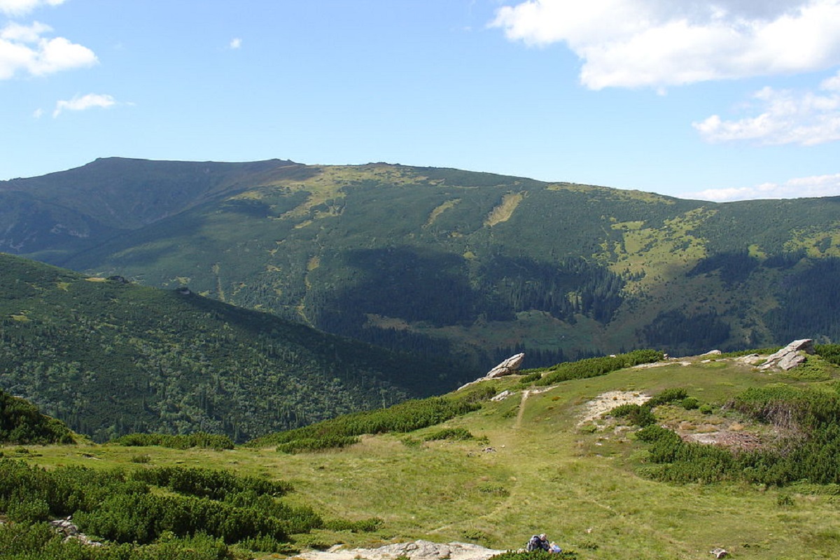
The slopes of Mount Mechul are gentle, so it is not difficult to climb it.
On the mountain itself, as well as on most of the peaks of Chornohora, there is a widespread grass and crooked forest, and blueberries grow.
There is one interesting fact. Menchul is known to be the 7th highest mountain in the Ukrainian Carpathians. Its size is inferior to Hoverla, Brebeneskul, Pop Ivan Chornohirsky, Petros, Hutyn Tomnatyk, and Rebry. Mechul lacks only 2 meters to the famous "two-thousanders", so with the help of volunteers it is planned to artificially raise the peak, thus adding another mountain to the "six two-thousanders" and making it a "seven".
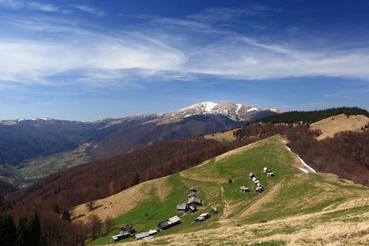
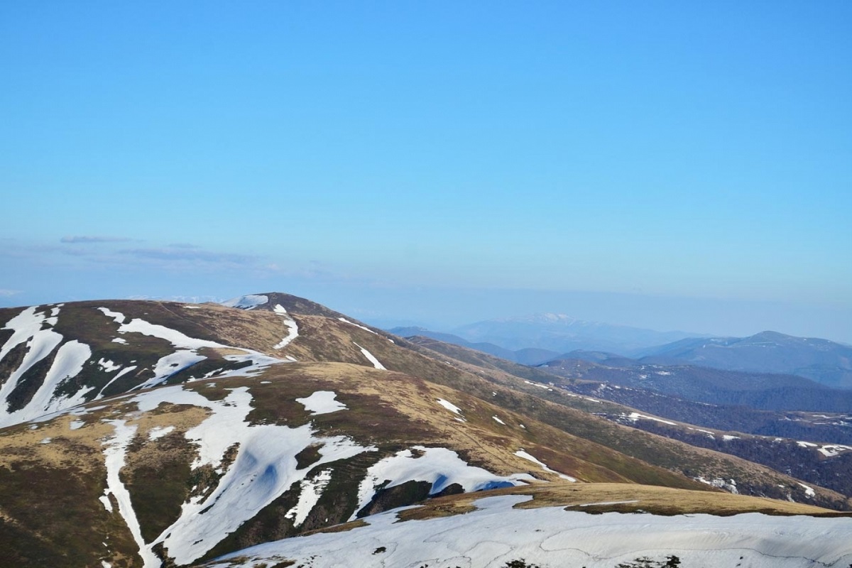
The summit offers beautiful views of the Ukrainian mountains. For example, in good weather, you can see all the beauty of the Borzhava valley, Mount Cook, and the Pishkonya and Krasna ranges.
The closest settlements to Menchul are the villages of Bystrets, Dzembronia, Kolochava, Synevyr, and Yasinya.
Accommodation around Mount Menchul:


Nearby hiking trails near Mount Menchul:
Which trails pass by Mount Menchul?
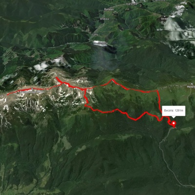
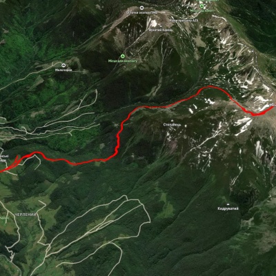
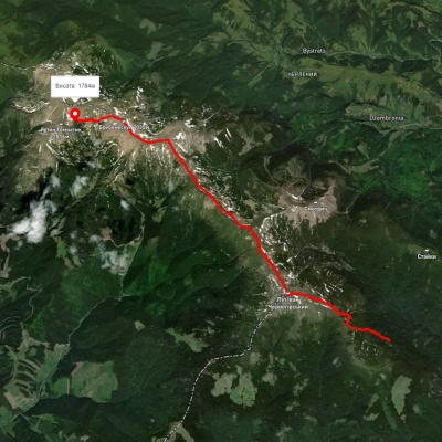
We suggest these hiking trails through or near Mount Menchul: Zaroslyak base, via Mount Shpytsi, Mount Rebra, Mount Menchul, Mount Turkul and Mount Pozhyzhevska to Zaroslyak base, Dzembronia village, via Mount Brebeneskul and Mount Menchul to Dzembronia village, Vesnarka polonyna, via Mount Pip Ivan Chornohirskyi and Mount Dzembronia to Lake Brebeneskul, Shybene village, via Mount Pip Ivan Chornohirskyi, Mount Hoverla and Mount Petros to Kvasy village, Kvasy village, via Mount Petros and Mount Hoverla to Mount Pip Ivan Chornohirskyi, Dzembronia village, via Mount Pip Ivan Chornohirskyi, Mount Hoverla and Mount Petros to Yasinia