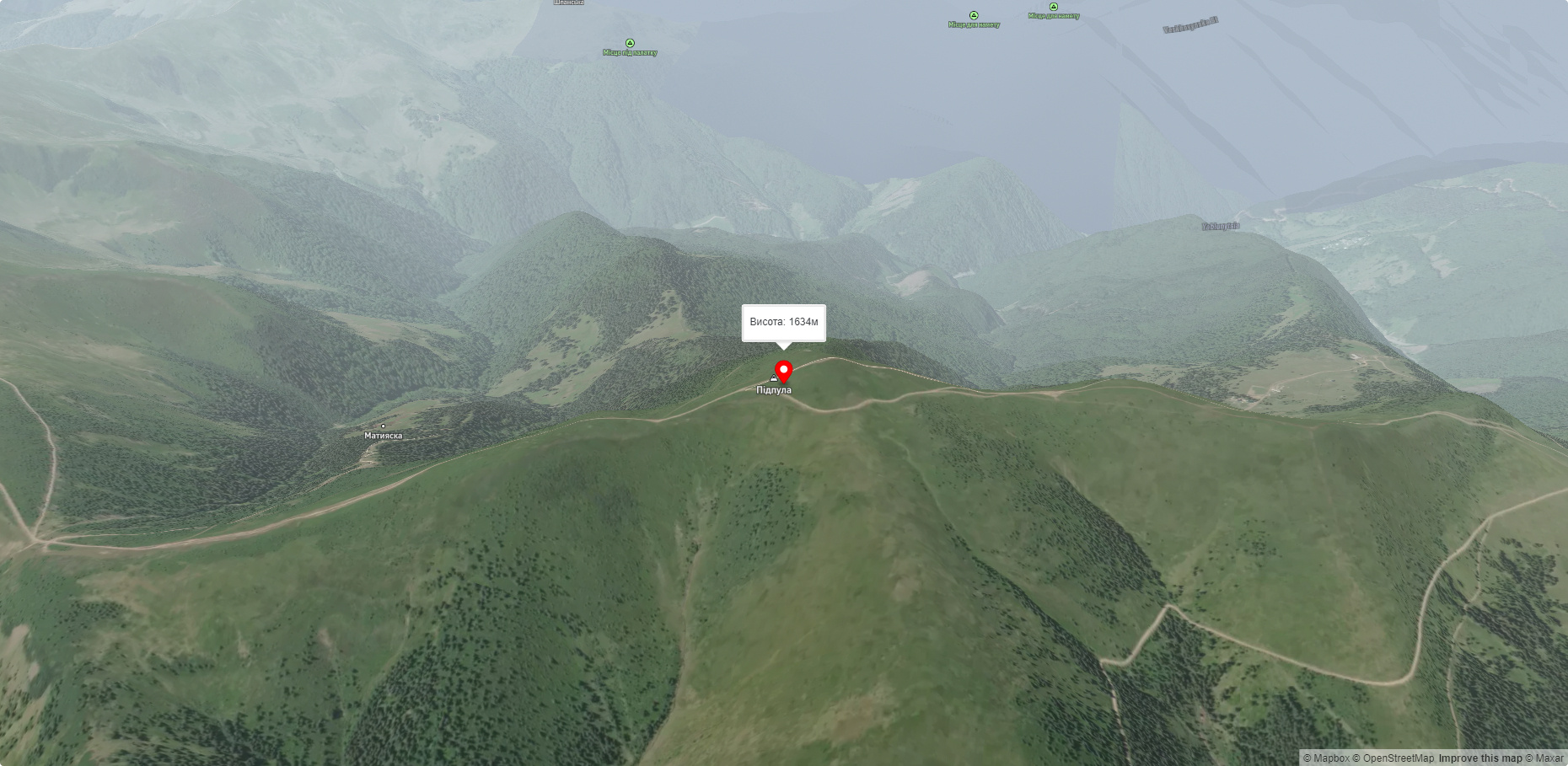
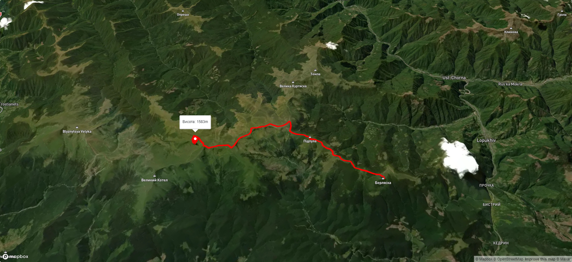
Mount Pidpula
Pidpula is a peak in the Ukrainian Carpathians, which is located in the northwestern part of the Svydovets mountain range - on the Shasa ridge. The mountain is located in Tyachiv district of Zakarpattia region.
The height is 1634 m (according to other information - 1629 m).
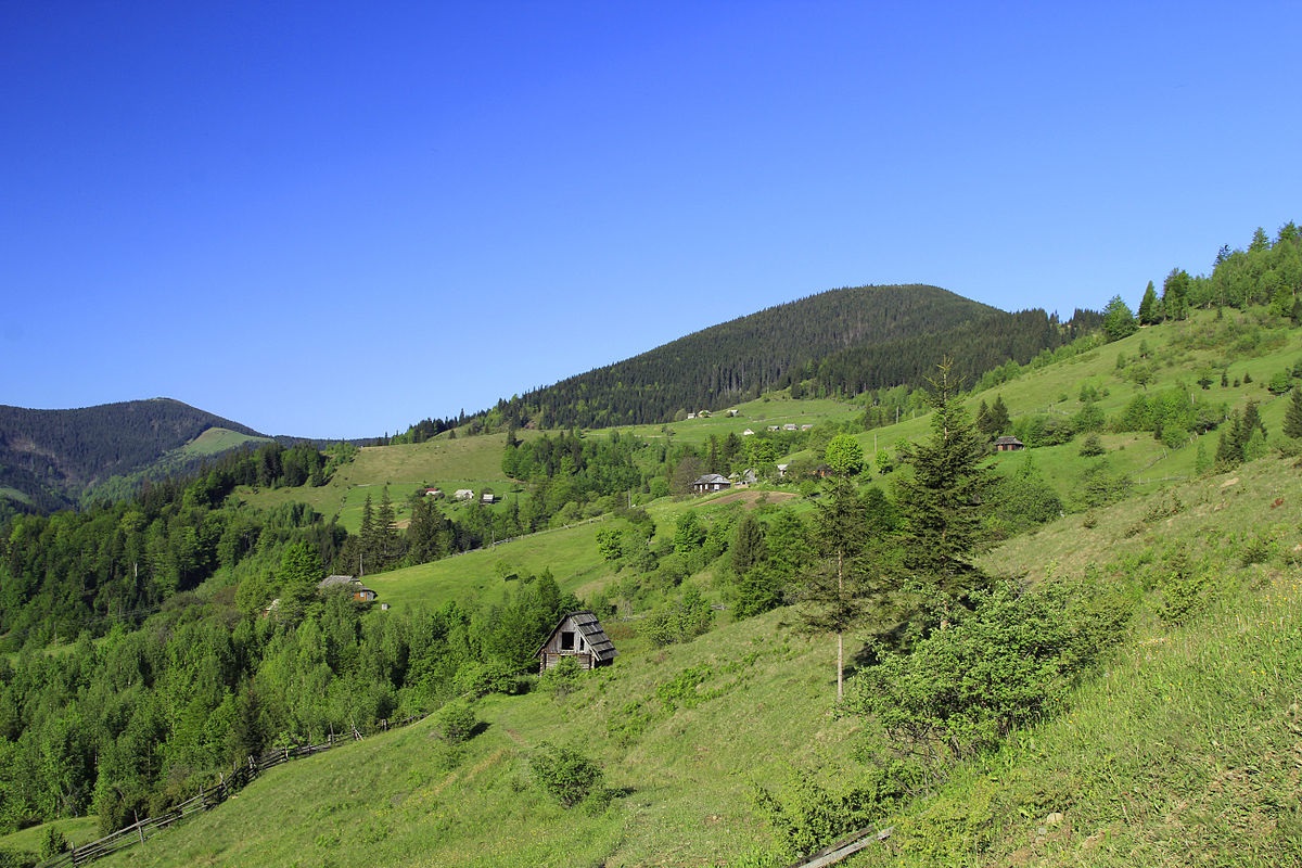
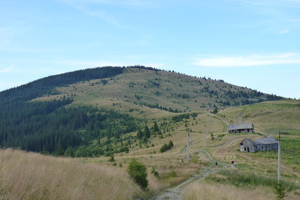
Pidpula's slopes are gentle in the north, northeast and southeast, and steep in the west, south and east; up to 1300-1400 meters above sea level, they are covered with centuries-old forests, above this mark - with meadows with blueberry thickets.
To the east of Mount Pidpula is Mount Tataruka, to the southeast is Mount Ungaryaska, to the south is Mount Mala Kurtiaska, to the west is Mount Pid Stogami, and to the northwest is Mount Berlyaska.
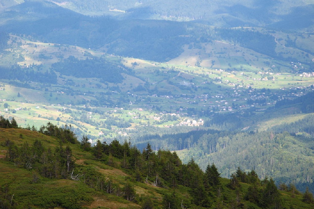
The nearest settlements are the town of Ust-Chorna and the village of Krasna in Tyachiv district and the village of Chorna Tysa in Rakhiv district of Zakarpattia region.
Accommodation around Mount Pidpula:


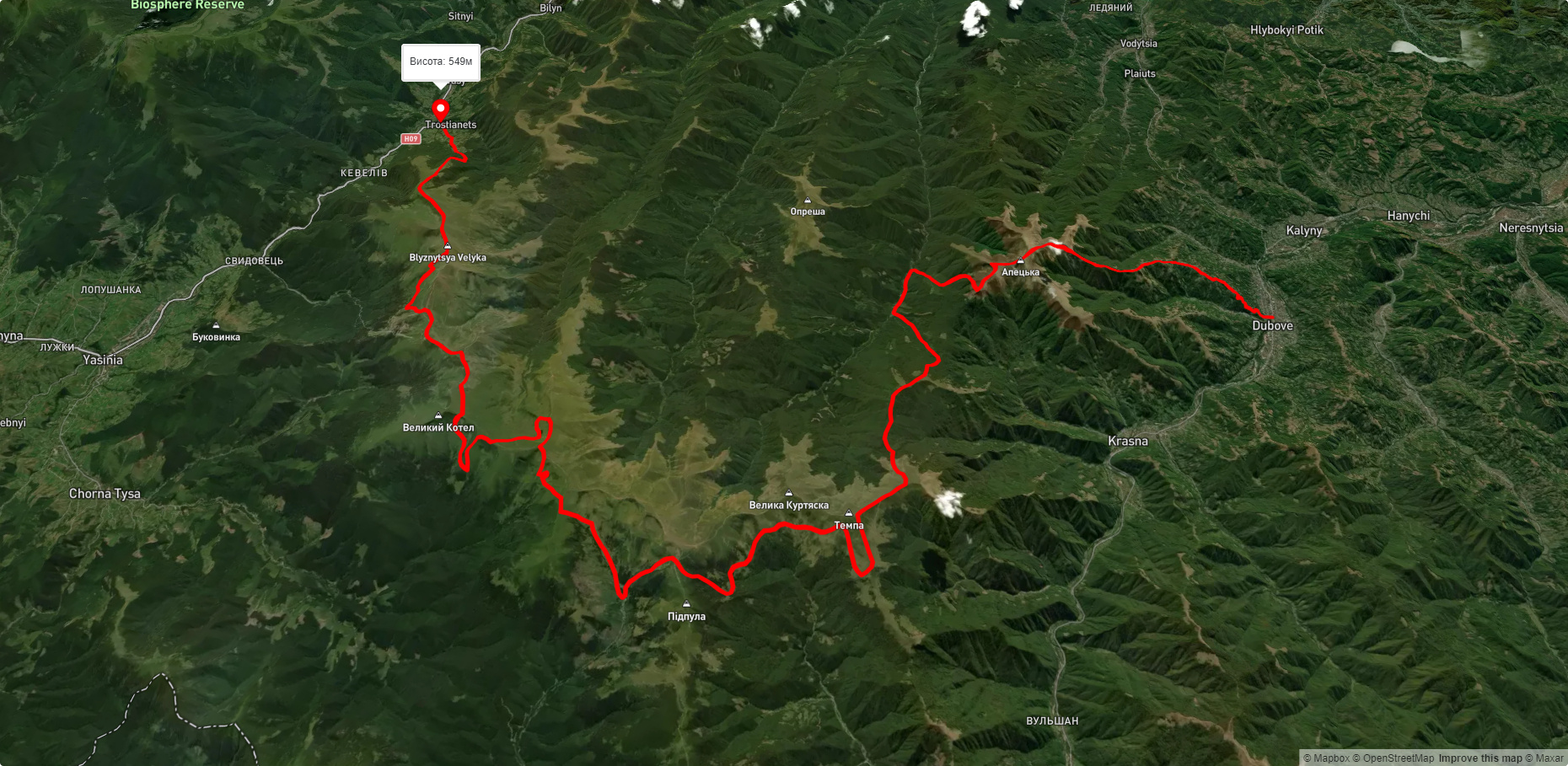
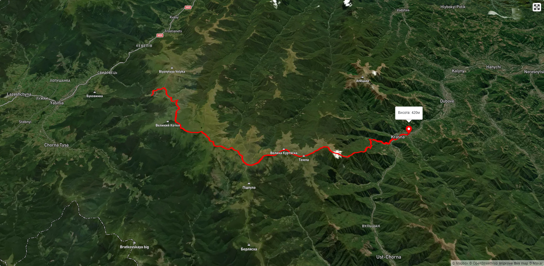
Nearby hiking trails near Mount Pidpula:
Які маршрути проходять повз Mount Pidpula?
Пропонуємо пройти такі туристичні (пішохідні) маршрути через/біля Mount Pidpula: г. Берляска, через г. Унгаряска, г. Трояска до оз. Догяска, с. Дубове, через г. Апецька, г. Догяска, г. Стіг, г. Близниця до с. Кваси, Драгобрат, через г. Стіг, г. Великий Котел, г. Унгаряска, г. Темпа до с. Красна, с. Синевир, через г. Негровець, с. Мерешор, хр. Красна, с. Усть Чорна, хр. Свидовець до с. Кваси, с. Красна, через г. Темпа, г. Трояска, г. Близниця до м. Рахів, смт. Ясіня, через г. Петрос, г. Шешул, с. Кваси, г. Бистриця, г. Темпа до с. Красна